モンテクレートのおすすめランニングルート
4.4
(35)
1,645
ランナー
137
ランニング
モンテクレートでランニングを楽しめば、このエリアをより深く知ることができます。ランニングに適した美しいルートが見つかるように、komootがモンテクレートでのルートのコレクション全体を評価して選び抜いた、人気ランニングトレイルをご紹介します。ルートをクリックして詳細を表示し、他のユーザーがアップロードした役立つ情報や写真を閲覧しましょう。
最終更新日: 10月 3, 2026
5.0
(1)
26
ランナー
11.7km
01:29
450m
450m
難しいジョギング. 標準以上のフィットネスレベルが必要です。 安定して歩行できる技術、丈夫な靴、高標高地での登山経験が必要です。
12
ランナー
13.9km
01:33
300m
300m
難しいジョギング. 標準以上のフィットネスレベルが必要です。 全般的に舗装された状態です。あらゆるスキルレベルに適しています。

10
ランナー
7.41km
01:02
310m
310m
難しいジョギング. 標準以上のフィットネスレベルが必要です。 全般的に進みやすいルートです。一部で、安定して歩行できる技術が必要です。
4.0
(2)
7
ランナー
24.1km
04:26
1,540m
1,540m
難しいジョギング. 標準以上のフィットネスレベルが必要です。 安定して歩行できる技術、丈夫な靴、高標高地での登山経験が必要です。
6
ランナー
14.7km
02:03
710m
710m
難しいジョギング. 標準以上のフィットネスレベルが必要です。 安定して歩行できる技術、丈夫な靴、高標高地での登山経験が必要です。
さらに多くのルートや他のユーザーのおすすめ情報を確認できます。
すでにアカウントをお持ちですか?
おすすめのツアーは他のkomootユーザーが実際に経験した何千ものアクティビティに基づいています。
無料アカウントで今日から始めよう
次の冒険が待っています。
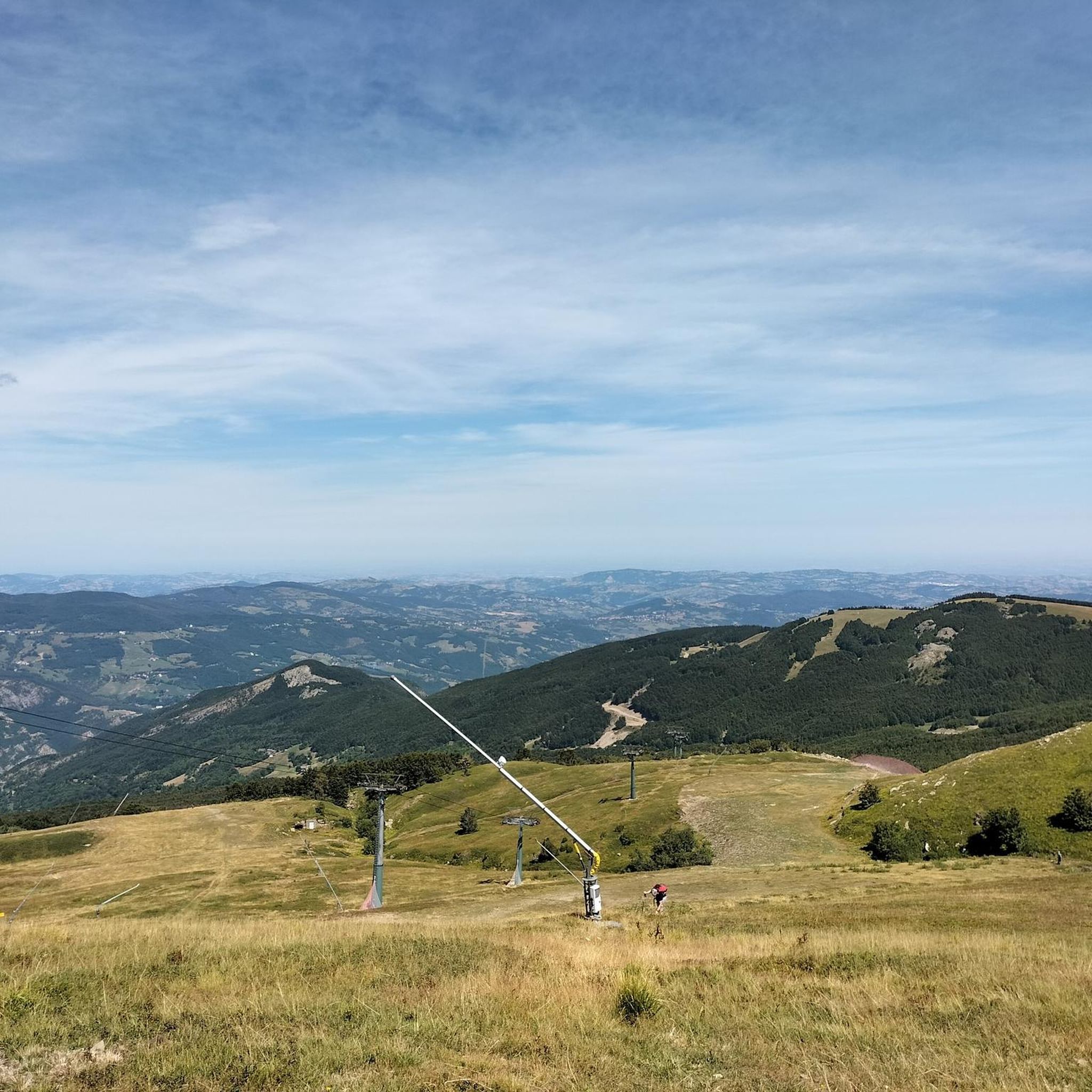
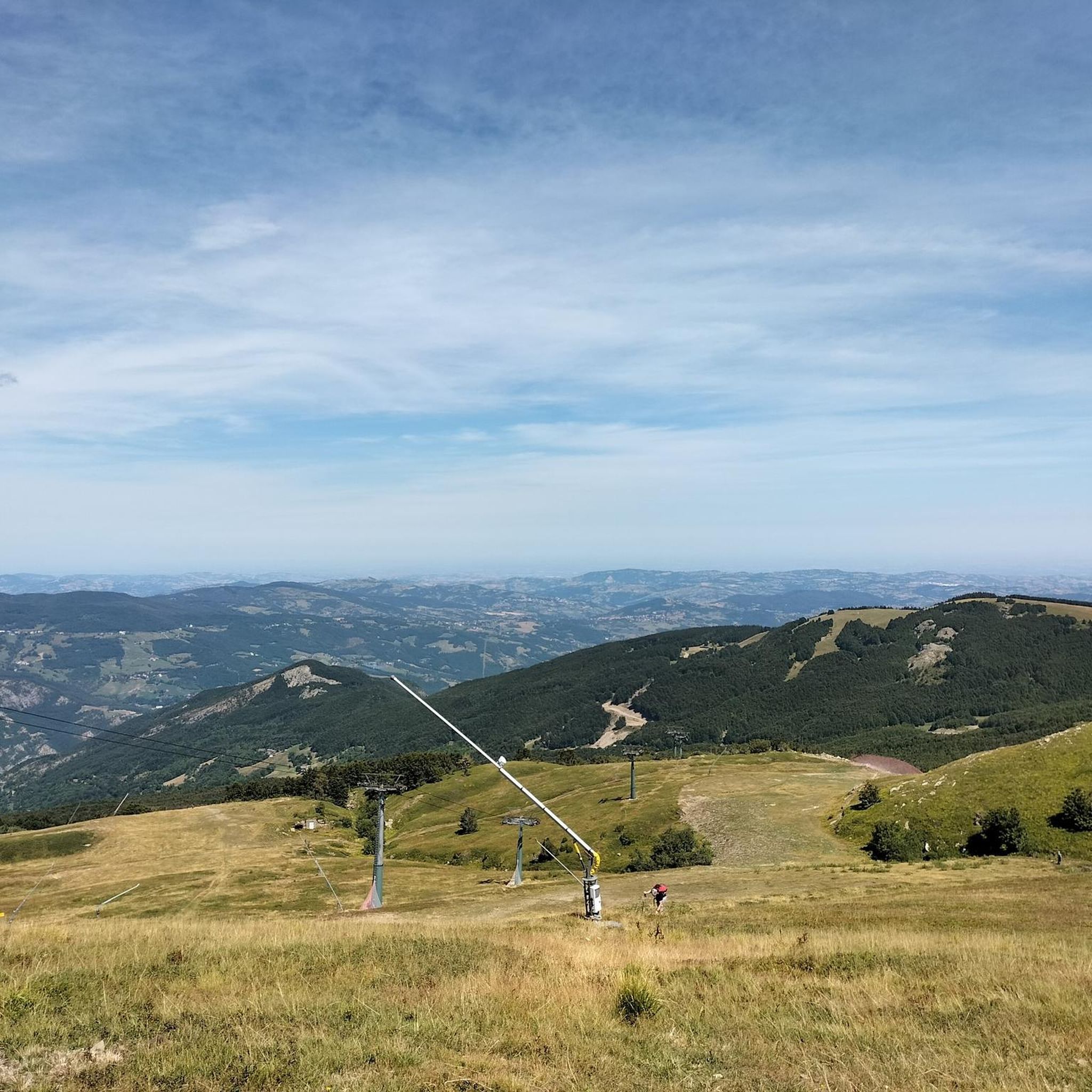
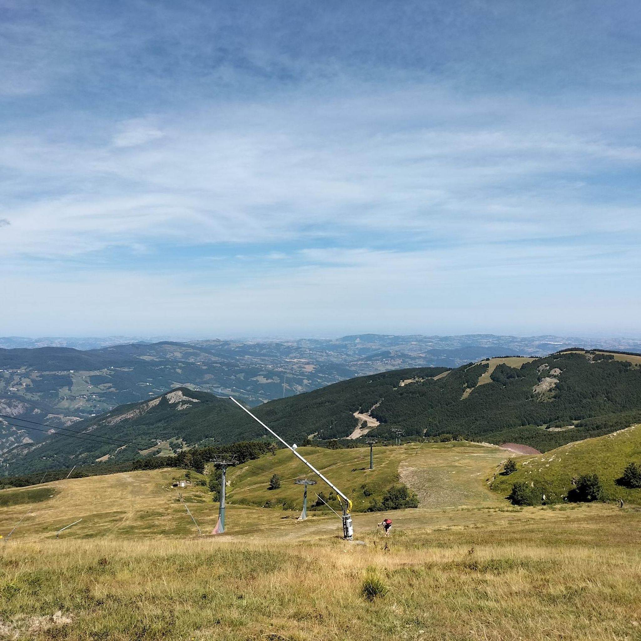
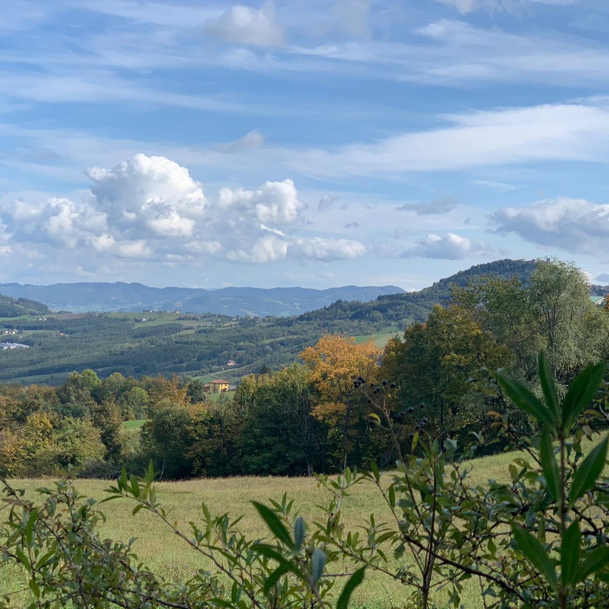


コミュニティからのヒント

Via dei Monti, Lonely Pine, Montecreto - Monte Cervarola
0
0
Looking at the sign, on the left direction POLLE, on the right PASSO DEL LUPO, behind you climb on the left VALCAVA, on the right PIAN CAVALLARO
0
0
CAI trail 475 connects Le Polle to the Esperia Garden in the Passo del Lupo area.
1
0
Junction connecting Polle and Passo del Lupo
0
0
Crossroads connecting the Pian Cavallaro mountain road to Polle, all downhill!
0
0
lunar landscape, absolutely worth a visit, always visible from the CAI "Cresta Appenninica" path
0
0
you can go down towards the Taburri refuge or continue straight on the "Cresta Appenninica" path
0
0
panoramic point reachable on foot, recommended choice or by cable car, less healthy and green choice
0
0

komootモバイルアプリでインスピレーションを得よう


さらに探索
他の地域の最高のランニングトレイル & ルートを見てみましょう。
