ピエトラカメーラの絶景の山頂・トップ20
絶景を目指して登るのであれ、達成感のために登るのであれ、山頂を訪れることで、ピエトラカメーラの美しい自然をもっと満喫することができます。20
もの選択肢の中から、制覇する山頂を決めるのは簡単ではありません。スムーズに次の冒険で目指す山頂を選べるように、ピエトラカメーラの素晴らしい山頂をこのガイドにまとめました。
最終更新日: 8月 30, 2026
コルノ・グランデ西峰
ハイライト • 山頂
役立つ情報 は

モンテ・アクイラ山頂
ハイライト • 山頂
翻訳者 Google •
役立つ情報 は

今すぐサインアップして、こんな場所を発見しよう
最高のシングルトラック、ピーク、その他のエキサイティングなアウトドアスポットのおすすめを受け取ろう。
無料新規登録
コッレ・デル・マッチョーネ
ハイライト • 山道
翻訳者 Google •
役立つ情報 は

ピッコ・コンファロニエーリ稜線 2,422 m
ハイライト • 山頂
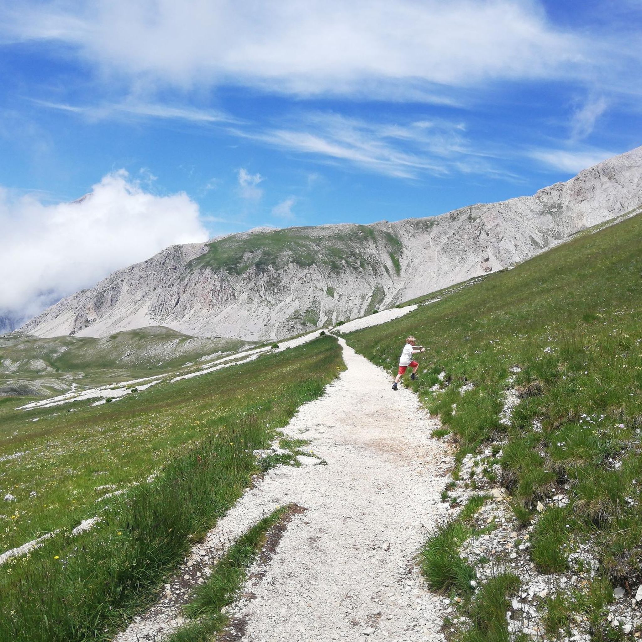
ピッコ・コンファロニエリは、イタリアのアブルッツォ州の中心部にある美しい尾根に位置する、標高2,422メートルの印象的な山頂です。この山頂はアペニン山脈の雄大なグラン・サッソ・ディターリア山塊の一部であり、ハイカーにこの国で最も特徴的な山岳地帯の1つを巡る壮大なトレッキングを提供します。
この山は、L'Aquila近郊のグラン・サッソ・エ・モンティ・デッラ・ラーガ国立公園内にあります。尾根ルートは、標高2,388メートルの有名なリフュージョ・ドゥカ・デッリ・アブルッツィと、標高2,333メートルのセッラ・ディ・モンテ・アキラを結ぶパノラマビューの尾根(crinale)を歩きます。
この尾根ハイキング中、荒々しい峰々、深い谷、そしてグラン・サッソの広大な景色の息をのむような眺めを楽しむことができます。標高、開けた山岳地帯、そして周囲を見下ろすようなハイキング体験の組み合わせが、このルートをアルパインランドスケープ愛好家にとって特別なものにしています。
この山頂は、1941年にL'Aquilaの大司教であったカルロ・コンファロニエリ枢機卿にちなんで名付けられました。この地域との彼のつながりは、今日でもこの際立った山頂の名前の中に生き続けています。
翻訳を表示中
役立つ情報 は

ピッツォ・チェファローネ
ハイライト • 山頂
翻訳者 Google •
役立つ情報 は
無料でサインアップして、さらに多くの山を発見しましょう ピエトラカメーラでの。
無料新規登録
すでにアカウントをお持ちですか?
無料アカウントで今日から始めよう
次の冒険が待っています。
ログインまたは登録


コミュニティからのヒント

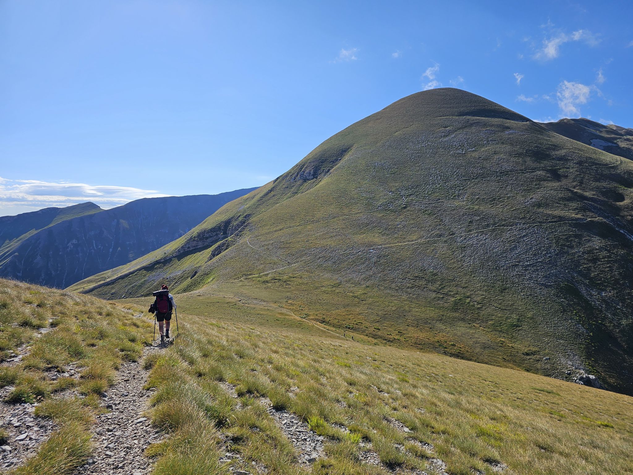
ドゥーカ・デッリ・アブルッツィ小屋から容易にアクセスできる、美しい展望地点
0
0

ピッコ・コンファロニエリの尾根に沿ったハイキング ピッコ・コンファロニエリは、イタリアのアブルッツォ州の中心部にある美しい尾根に位置する、標高2,422メートルの印象的な山頂です。この山頂はアペニン山脈の雄大なグラン・サッソ・ディターリア山塊の一部であり、ハイカーにこの国で最も特徴的な山岳地帯の1つを巡る壮大なトレッキングを提供します。 この山は、L'Aquila近郊のグラン・サッソ・エ・モンティ・デッラ・ラーガ国立公園内にあります。尾根ルートは、標高2,388メートルの有名なリフュージョ・ドゥカ・デッリ・アブルッツィと、標高2,333メートルのセッラ・ディ・モンテ・アキラを結ぶパノラマビューの尾根(crinale)を歩きます。 この尾根ハイキング中、荒々しい峰々、深い谷、そしてグラン・サッソの広大な景色の息をのむような眺めを楽しむことができます。標高、開けた山岳地帯、そして周囲を見下ろすようなハイキング体験の組み合わせが、このルートをアルパインランドスケープ愛好家にとって特別なものにしています。 この山頂は、1941年にL'Aquilaの大司教であったカルロ・コンファロニエリ枢機卿にちなんで名付けられました。この地域との彼のつながりは、今日でもこの際立った山頂の名前の中に生き続けています。
5
0

The Normal Route is a fairly simple route, except for the last 400 meters, the gully and the ridge, which, being EEA grade (expert equipped hikers), require considerable physical strength and technique. Mountaineering boots are also required, and a helmet is recommended. Since the ridge is also quite technical, it is absolutely not suitable for those with a fear of heights, the elderly, children, or anyone without mountaineering experience.
3
0

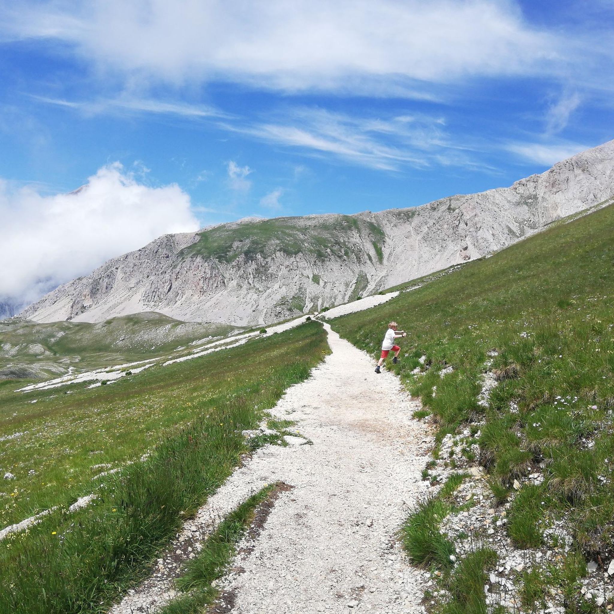
A Classic from Campo Imperatore, I recommend excursions even for those who are new to the area, beautiful panorama
0
0

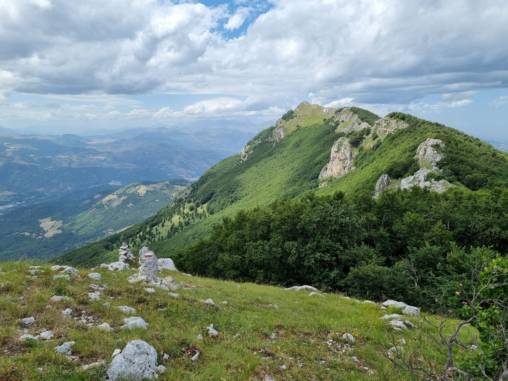
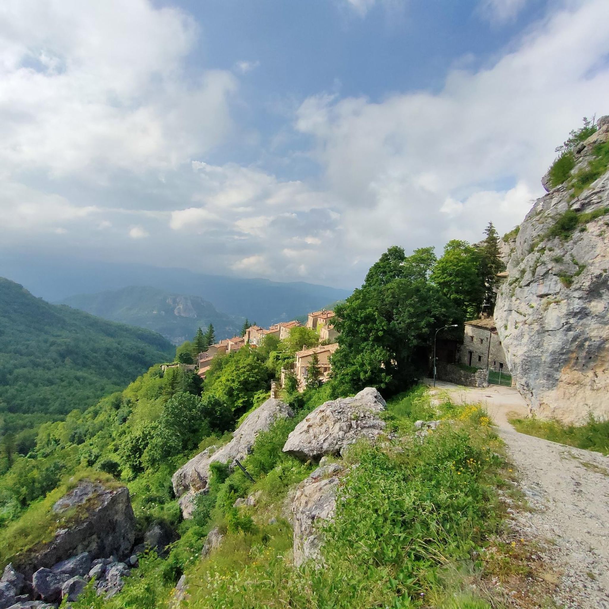
Colle del Maccione, immersed in the evocative beauty of the hills, offers those who explore it a unique perspective on uncontaminated nature. This place, located between breathtaking views and enveloping tranquility, becomes a refuge for those seeking a break from the daily hustle and bustle. Its serene atmosphere and the panorama that opens up to visitors offer an authentic and relaxing experience. An invitation to discover the natural beauty and peace that Colle del Maccione generously offers to those who visit it.
2
0

Mount Aquila (2,495 m) stands between Campo Imperatore and the Corno Grande. From his cross you can admire the valley of hell and also the Adriatic Sea.
0
0

The Western Peak, with its 2,912 meters, is the highest of the Gran Sasso massif and also the highest peak of the Apennines. It is part of the larger peak of Corno Grande which includes: Eastern Vetta (reachable with the fun Ricci ferrata from the Franchetti refuge), Torrione Cambi, Central Vetta and the simpler and more popular Western Vetta. The view from the top is spectacular, on clear winter days you can admire both seas!
5
3

The Corno Grande with its 2,912 meters above sea level it is the highest peak of the Apennines. It can be reached via the Via Normale or the Direttissima. Both trails require some attention.
4
1
ピエトラカメーラでのの人気観光スポット

komootモバイルアプリでインスピレーションを得よう


さらに探索
これらのガイドでさらに素晴らしい頂上を見てみましょうピエトラカメーラでの:
