東ピレネーのおすすめライド
4.3
(2046)
61,637
ライダー
1,188
ライド
このガイドでご紹介するのは、komootが東ピレネーでのロードバイクルートのコレクション全体を評価して選び抜いた、このエリアの人気バイクライドです。あなたに合ったものを見つけるには、以下のルートをクリックして標高データや舗装状態の分析などの細かな情報を把握し、さらにkomootコミュニティのメンバーが投稿した役立つ情報や写真も閲覧しましょう。
最終更新日: 9月 10, 2026
4.8
(11)
1,124
ライダー
111km
06:22
2,160m
2,160m
Cycle the difficult 68.8-mile Col de Banyuls route through Albera Natural Park, crossing from France to Spain with stunning views.
3.8
(6)
266
ライダー
44.0km
02:30
970m
970m
The Col de la Brousse offers a challenging yet rewarding road cycling experience, immersing you in the heart of the Mediterranean scrubland. The route is renowned for its tranquility, with…

4.3
(7)
195
ライダー
47.4km
03:01
1,310m
1,310m
The ascent of Puig Neulós immerses you in a changing landscape, from the cork and pine forests offering shade and tranquility, to the expansive views from the summit. Although most…
4.5
(4)
193
ライダー
32.9km
02:06
960m
960m
This difficult 20.5-mile (32.9 km) racebike route between Juell Pass and Llose Pass climbs 3161 feet (963 meters) in the French Pyrenees.
4.5
(92)
2,082
ライダー
57.7km
03:16
1,200m
1,200m
難しいロードライド. 標準以上のフィットネスレベルが必要です。 ツアーの一部に、未舗装のため走行が難しい箇所があるかもしれません。
4.6
(8)
161
ライダー
27.2km
01:40
710m
710m
中程度のロードライド. ある程度のフィットネスレベルが必要です。 全般的に舗装状態が良好で走行しやすい道です。
3.4
(7)
82
ライダー
62.3km
02:34
310m
310m
This moderate 38.7-mile (62.3 km) road cycling route between Perpignan and Argelès offers diverse landscapes from vineyards to coastal views
4.5
(71)
1,835
ライダー
63.5km
03:32
1,320m
1,320m
難しいロードライド. 標準以上のフィットネスレベルが必要です。 全般的に舗装状態が良好で走行しやすい道です。
5.0
(1)
139
ライダー
51.2km
03:11
1,390m
1,390m
難しいロードライド. 標準以上のフィットネスレベルが必要です。 全般的に舗装状態が良好で走行しやすい道です。
4.0
(4)
136
ライダー
15.0km
00:45
220m
220m
Cycle an easy 9.3 miles (15.0 km) around Lake Matemale, enjoying scenic Pyrenees views and gaining 706 feet (215 metres).
さらに多くのルートや他のユーザーのおすすめ情報を確認できます。
すでにアカウントをお持ちですか?
おすすめのツアーは他のkomootユーザーが実際に経験した何千ものアクティビティに基づいています。
無料アカウントで今日から始めよう
次の冒険が待っています。
東ピレネー周辺で人気
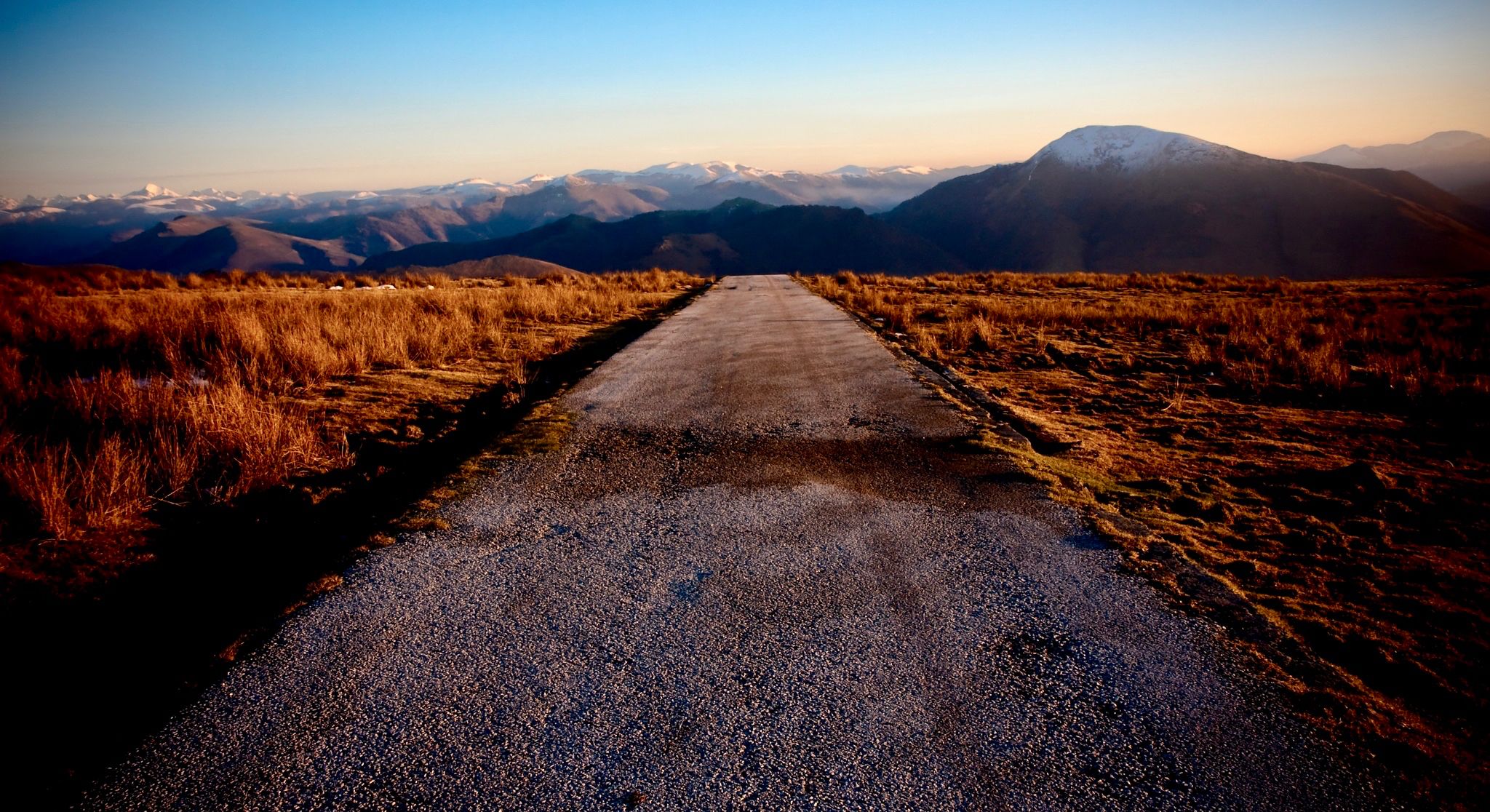
ピレネー山脈を横断するロードバイクで海岸から海岸まで
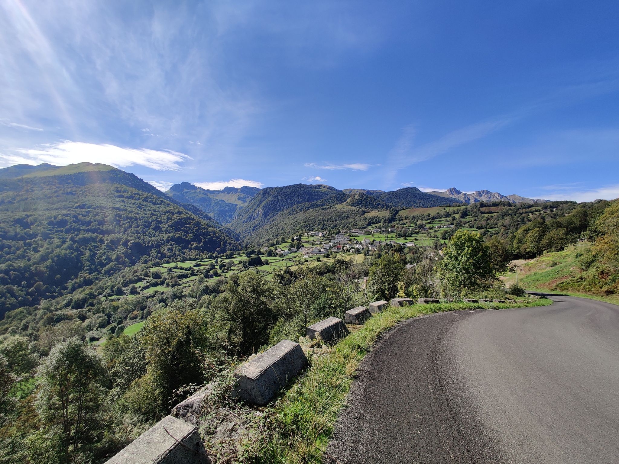
大西洋から地中海まで - ピレネー山脈のルート・デ・コル
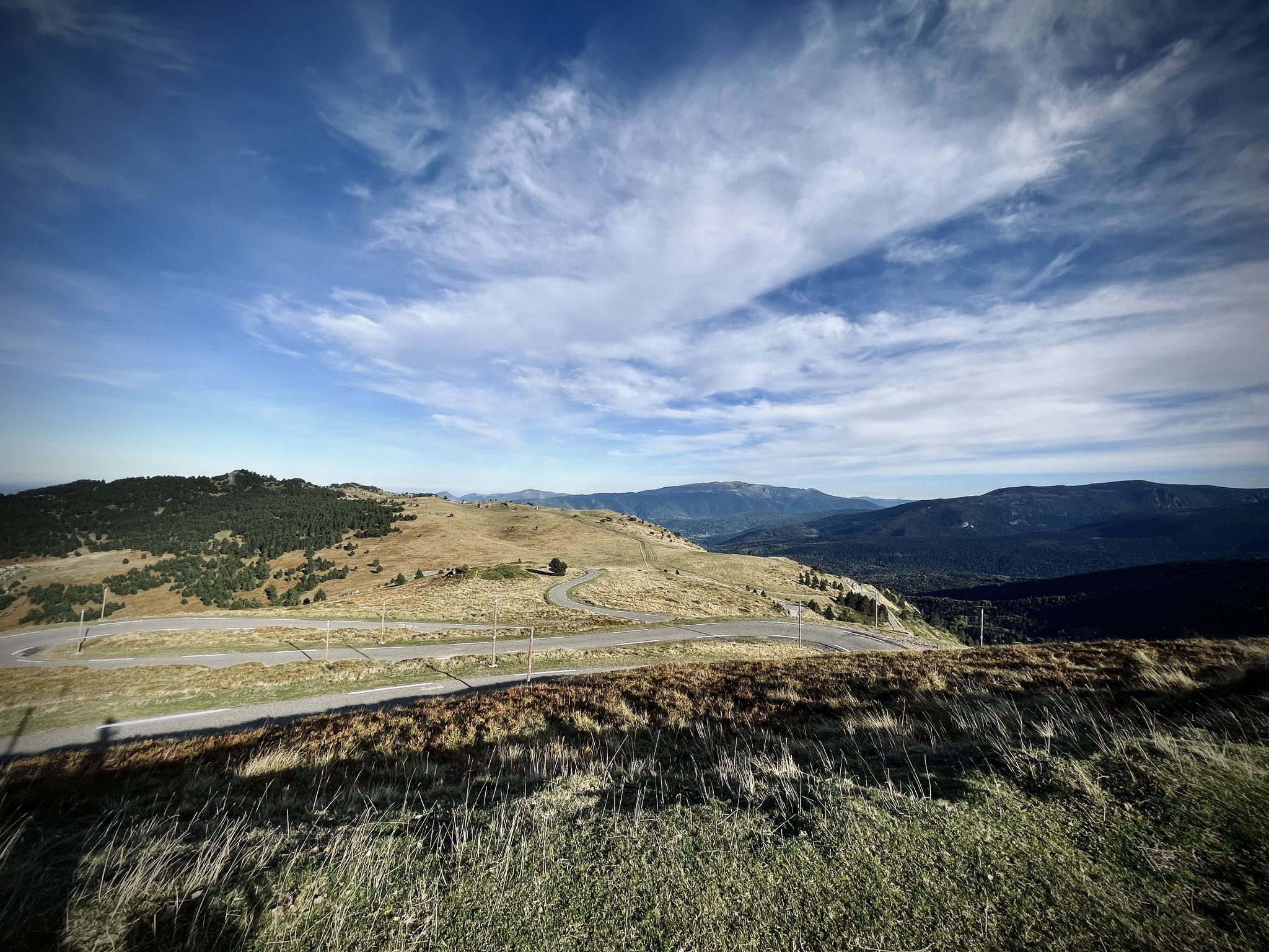
Trans Pyrenees Race No2 - 旅が競走になるまで
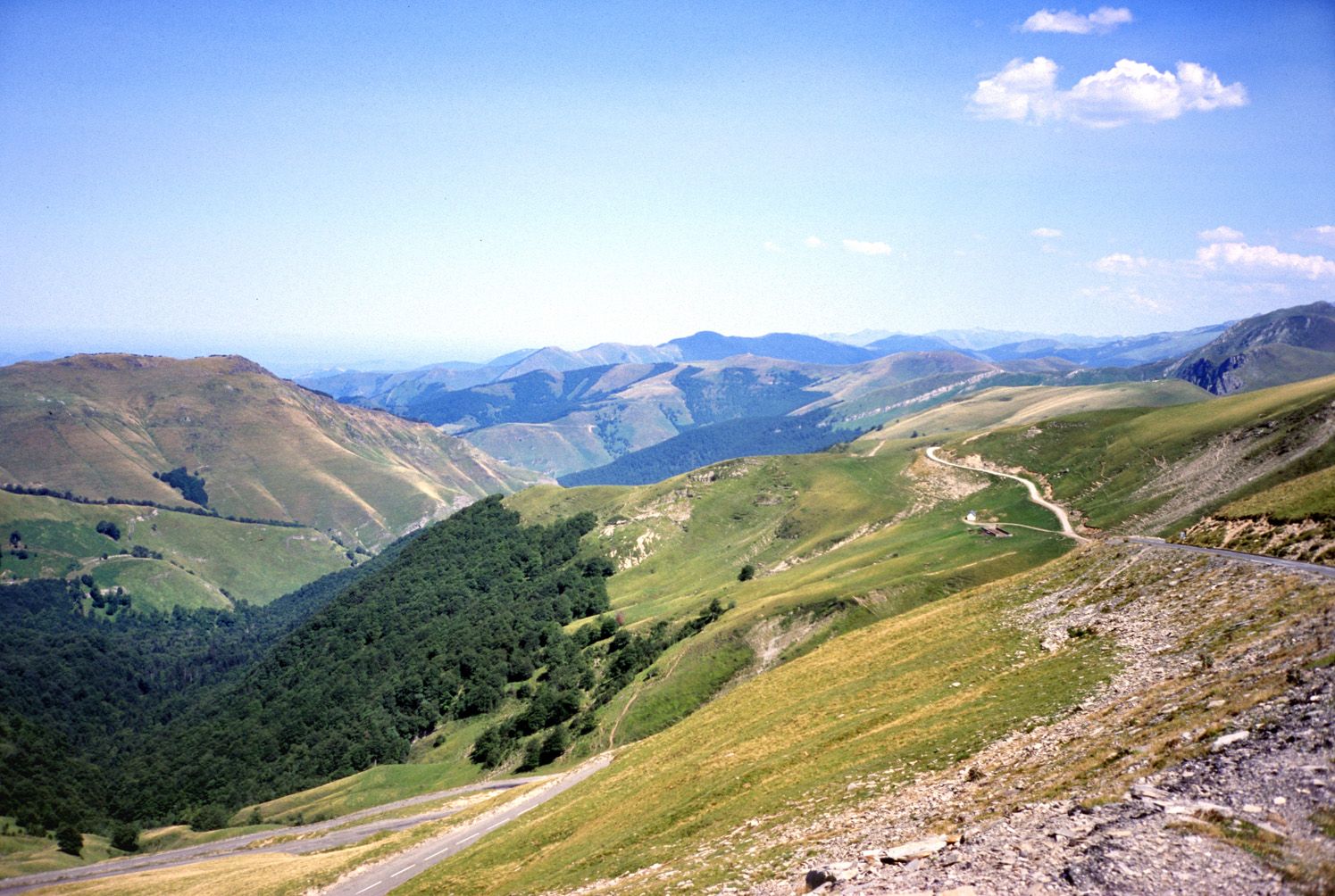
The most beautiful road bike passes of the Pyrenees

European Divide Trail — 7,600 km across the continent
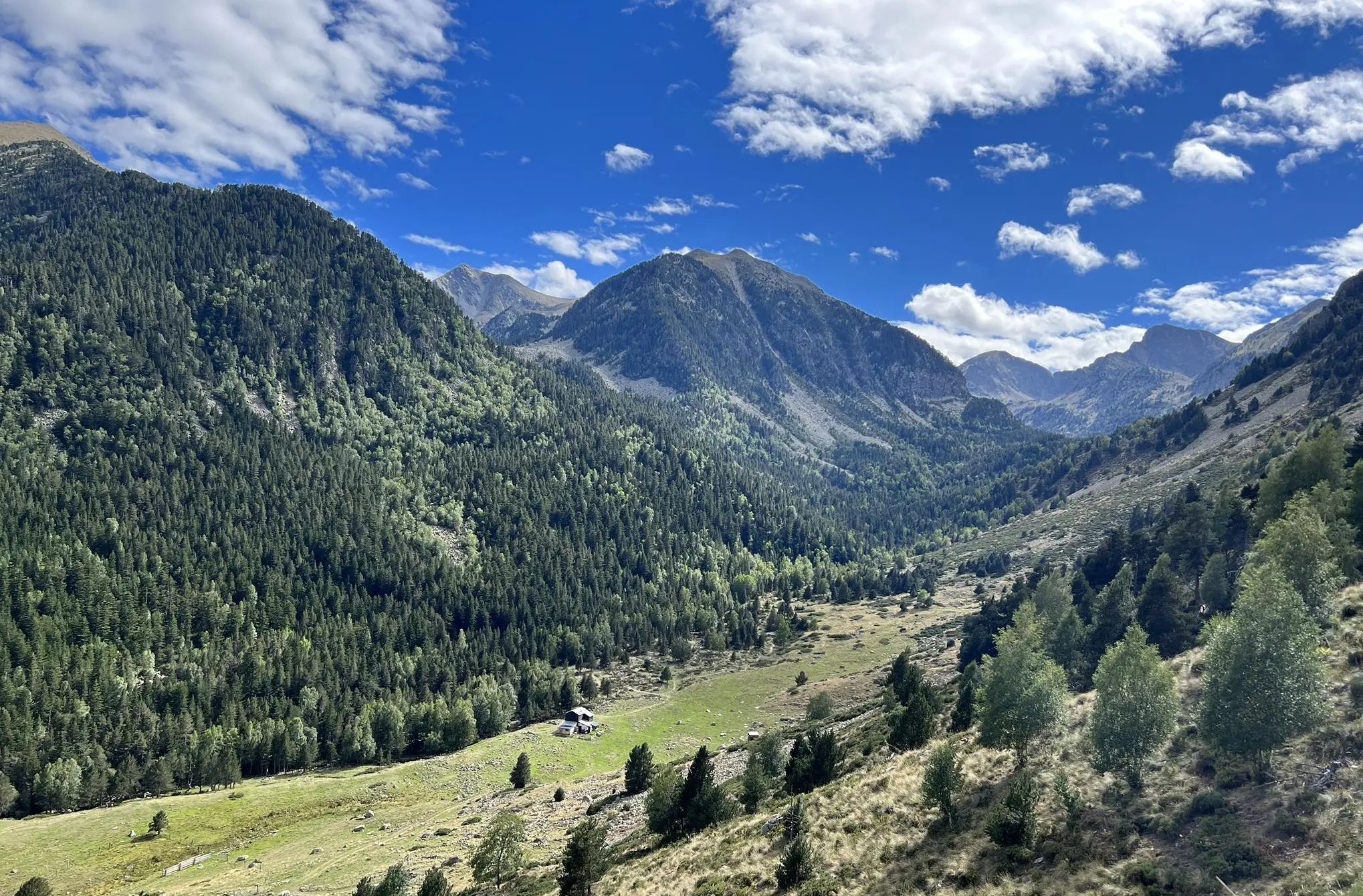
チャンネルからピレネー山脈までのフランスを横断 – GR 36の長距離歩道

東ピレネー山脈 — GR 10を通じてピレネー山脈を渡る
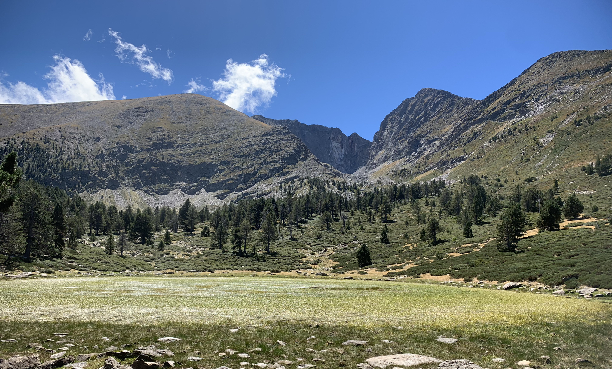
地中海ピレネースの心臓を通じて– Tour du Canigou

リスボンへの道 – アルプス、ピレネース、ピコス・デ・エウロパをバイクパッキング

太陽への道のり - 南東スペインへのバイクパッキング
東ピレネーでのの他の冒険


コミュニティからのヒント

間違いなく訪れる価値があります。それほど混雑しておらず、お店の質も高いからです。良い自転車道があるので、自転車でのアクセスも良好です。
2
0


Quite a bit of traffic, but a pretty port, especially the final section.
0
0

Beautiful climb with good surface and sea view
0
0


Fountain in the charming little village of Ayguatebia to refill your water before the final of the Col de la Llose or the Col de Jouël.
0
0

Collioure, the sea and Fort Saint Elme. This road winds under the Douy viaduct and allows you to reach the center of Collioure.
1
0

Really enjoyable ride. Id agree with level 3 for fitness it was a a constant climb altho the gradient ranged from 3,6,8% ( with only less than 100m that went up to 14%. So can be riden at your own pace The Hostel at Las illas after the Col is a slight detour but good for Coffee a beer or a sandwich. Lovely flowing decent, At Maureillas i nearly headed back along the main road but glad i didn't as the last 3rd of the ride has quite a different caricature ( mostly cycle paths)
0
0

komootモバイルアプリでインスピレーションを得よう


さらに探索
他の地域の最高のロードサイクリングルートを見てみましょう。
