モンテアロイアのおすすめランニングルート
4.0
(6)
554
ランナー
38
ランニング
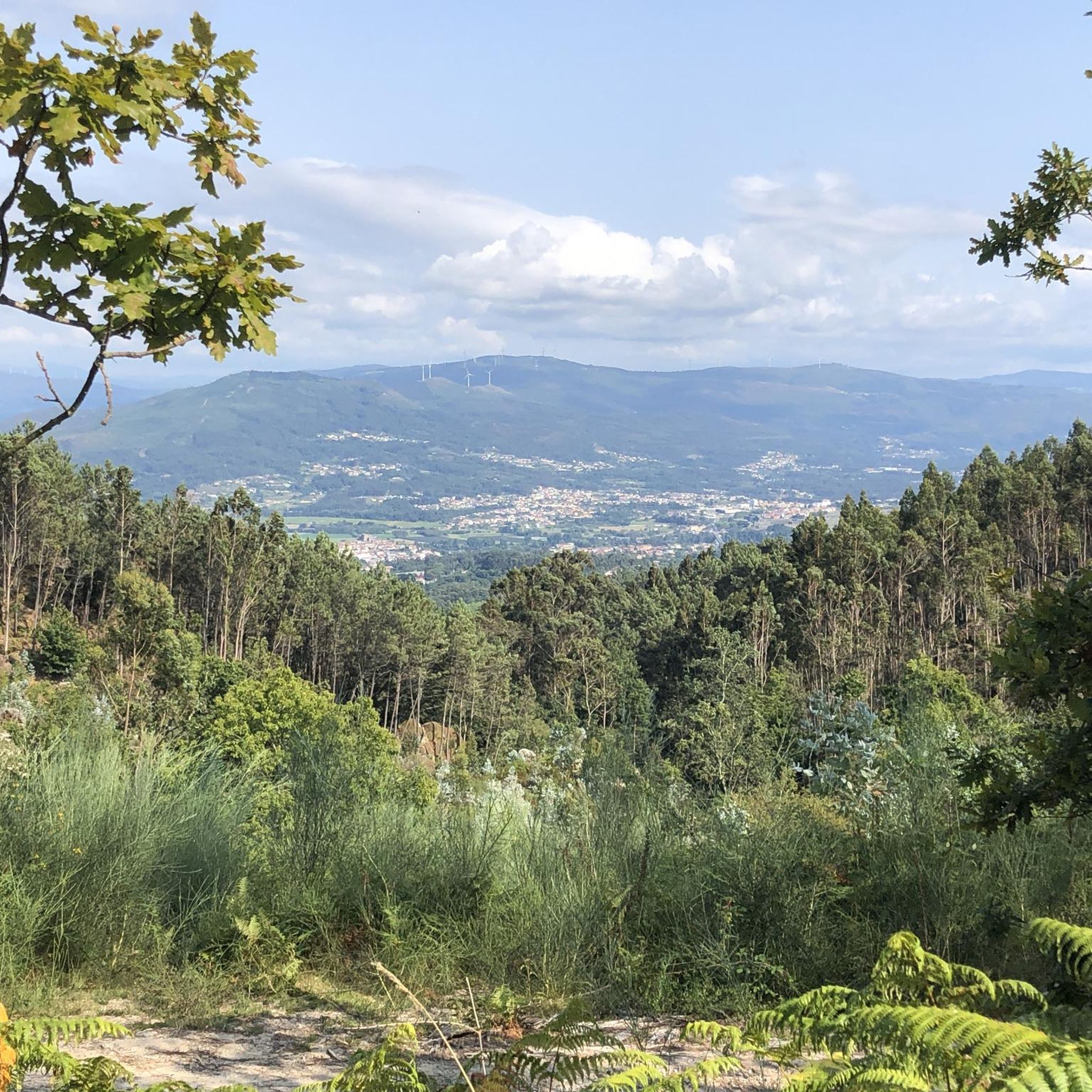
モンテ・アロイアでのジョギングは、多様な景観と変化に富んだ地形を提供し、アウトドアアクティビティの注目のデスティネーションとなっています。この地域は標高が高く、最高地点はアルト・デ・サン・シャオにあり、ミーニョ川とルウロ川の谷のパノラマビューを楽しめます。在来種と外来種が混在する緑豊かな山の環境は、ランニングに豊かな背景を作り出しています。基盤となる花崗岩の基盤はしばしば岩として現れ、数多くの小川がミーニョ川の谷に向かって流れ、ルートに独特の自然の特徴を加えています。
モンテ・アロイアの最高のジョギングルート
- 最も人気のあるジョギングルートは、所要時間1時間3分、距離5.1マイル(8.3 km)の トゥイ発モンテ・アロイア自然公園ループです。この中程度の難易度のルートは、自然公園の豊かな植生と高低差のあるセクションを巡る没入感のある体験を提供します。
- 地元のランナーに人気のもう一つのルートは、所要時間約1時間7分、距離6.6マイル(10.7 km)の トゥイ発ポンテ・ダ・ベイガ – 川沿いの散策 – トゥイ ループです。このルートは川沿いのエリアを通り、ミーニョ川の谷の景色を楽しめます。
- 地元のランナーに愛されているのは、距離6.6マイル(10.7 km)の トゥイ発ポンテ・ダ・ベイガ ループです。このルートは変化に富んだ地形を通り抜け、多くの場合約1時間7分で完了します。
- モンテ・アロイアでのジョギングは、高低差のある地形、多様な植生、そして景色の良いビューポイントが特徴です。このネットワークは、中程度から難しい難易度のルートを含む、さまざまなスキルレベルのオプションを提供しています。
- モンテ・アロイアのルートは、6件のレビューから平均5.0つ星の評価を得て、komootコミュニティから高く評価されています。250人以上のランナーがkomootを使用してモンテ・アロイアの多様な地形を探索しています。
最終更新日: 8月 22, 2026
19
ランナー
14.8km
02:12
680m
680m
難しいジョギング. 標準以上のフィットネスレベルが必要です。 全般的に進みやすいルートです。一部で、安定して歩行できる技術が必要です。
7
ランナー
8.09km
01:03
200m
200m
中程度のジョギング. ある程度のフィットネスレベルが必要です。 全般的に舗装された状態です。あらゆるスキルレベルに適しています。

無料新規登録
6
ランナー
12.2km
01:50
580m
570m
難しいジョギング. 標準以上のフィットネスレベルが必要です。 全般的に舗装された状態です。あらゆるスキルレベルに適しています。
9
ランナー
10.6km
01:26
370m
380m
難しいジョギング. 標準以上のフィットネスレベルが必要です。 全般的に舗装された状態です。あらゆるスキルレベルに適しています。
3.0
(1)
51
ランナー
10.9km
01:09
130m
130m
中程度のジョギング. ある程度のフィットネスレベルが必要です。 全般的に舗装された状態です。あらゆるスキルレベルに適しています。
さらに多くのルートや他のユーザーのおすすめ情報を確認できます。
無料新規登録
すでにアカウントをお持ちですか?
おすすめのツアーは他のkomootユーザーが実際に経験した何千ものアクティビティに基づいています。
無料アカウントで今日から始めよう
次の冒険が待っています。
ログインまたは登録
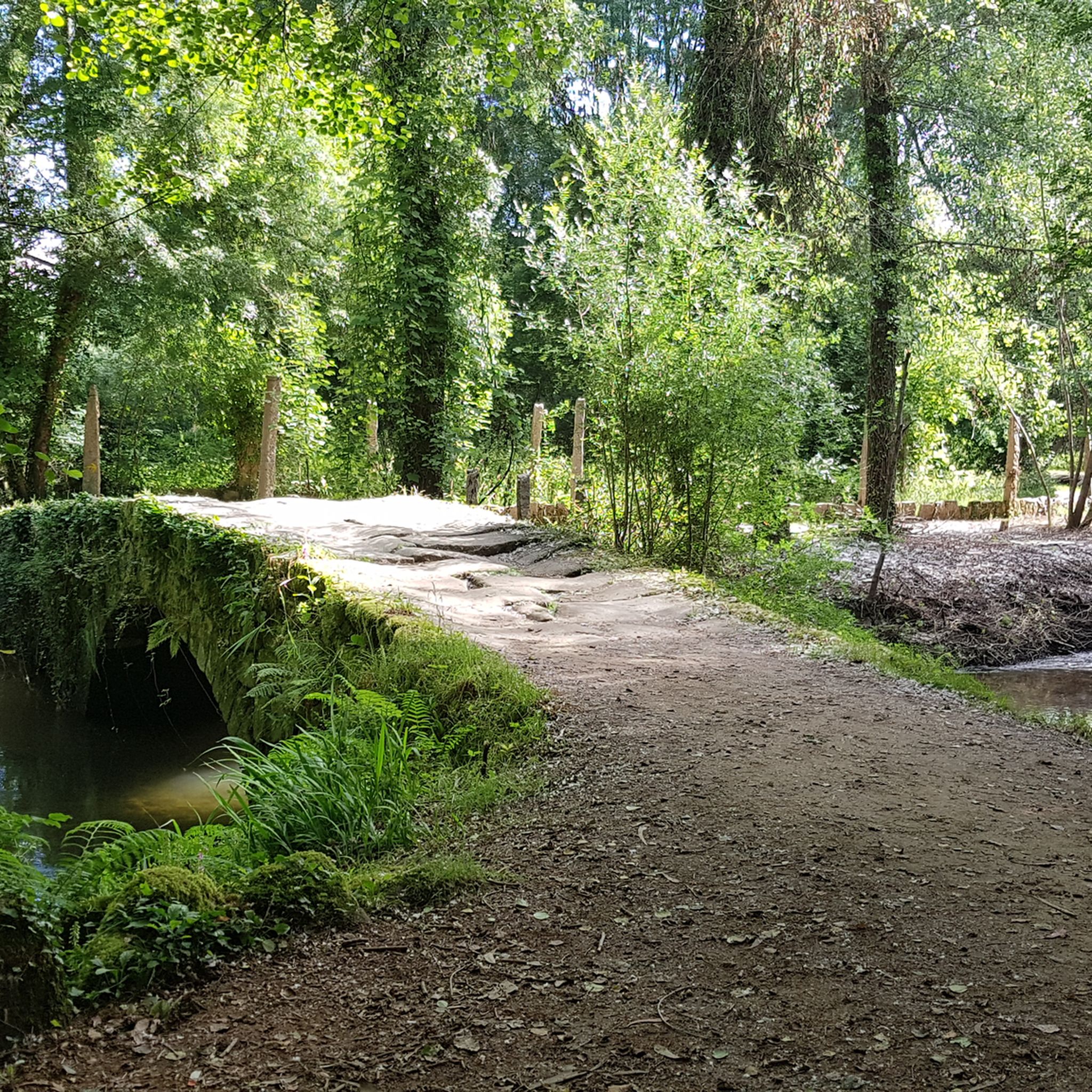
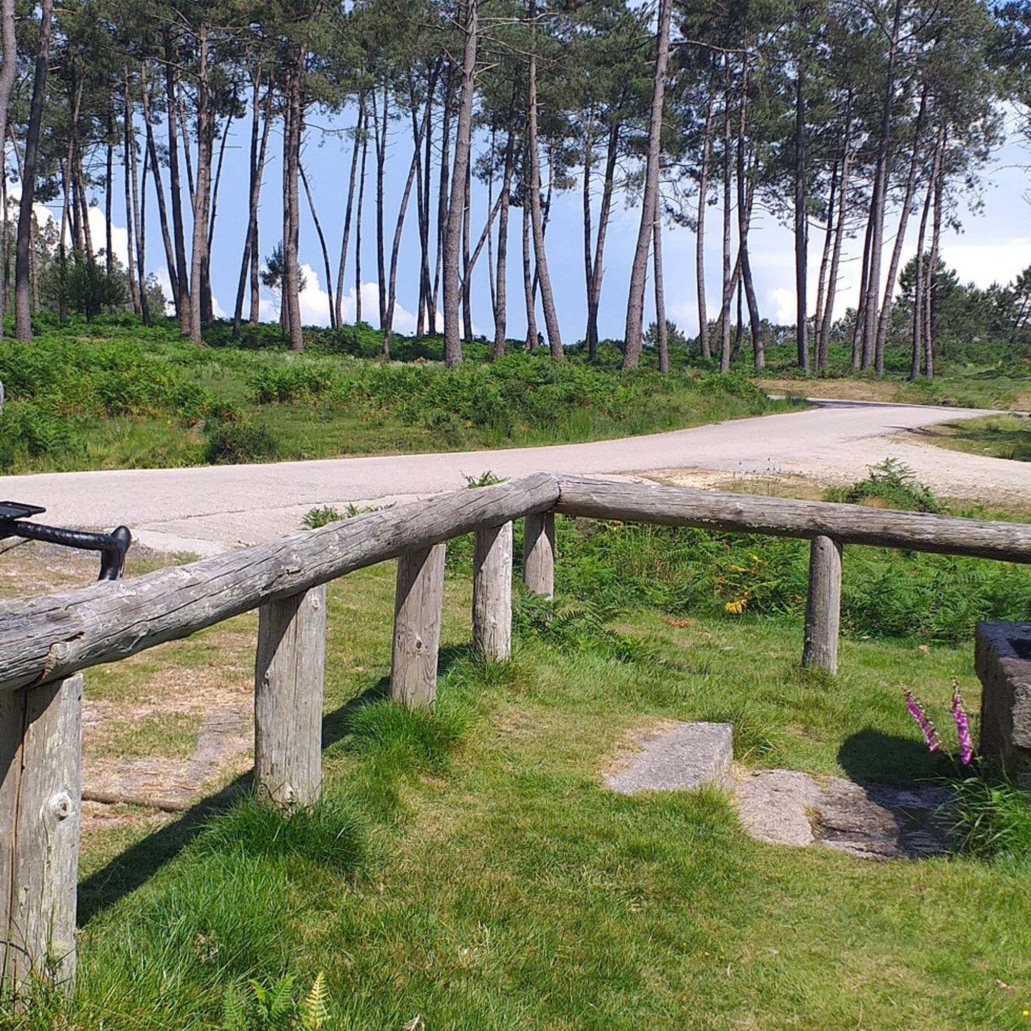
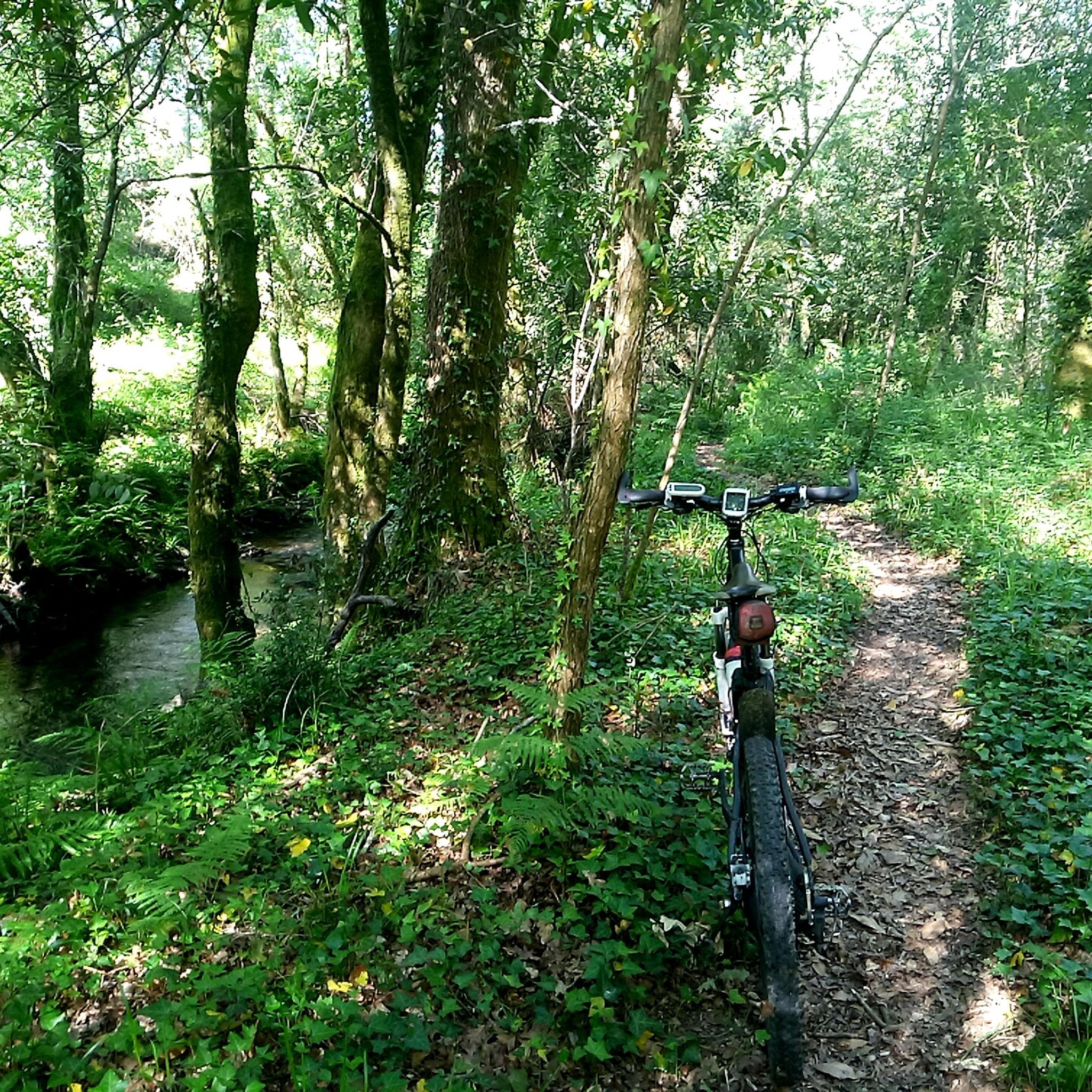
コミュニティからのヒント

For those of us who are older, it reminds us of what it was like to cross from one country to another, when you might randomly have to open the trunk of your car so that both police forces could check what you were carrying, so that younger people could get their documents, and above all so that everyone can see how beautiful and enriching it is to be able to live in peace between neighboring countries.
0
0

Valença Fortress, also known as Praça-forte de Valença do Minho, is an imposing jewel of Portuguese military architecture with over eight centuries of history. Its origins date back to the 13th century, when King Sancho I and later Afonso III fortified it to protect the border with Galicia. During the Restoration War (17th–18th centuries), it was transformed into a Vauban-style fortress under the engineer Miguel de l’École and the architect Manuel Pinto de Vilalobos, being completed in 1713. The fortress withstood attacks during the Restoration, was captured and recaptured several times, and was also defended during the Napoleonic Wars and the Liberal Wars.
4
0

The Tui International Bridge is a landmark on the border between Portugal and Spain, connecting the Galician city of Tui to Valença, Portugal, across the Minho River. This historic metal truss bridge serves as a crossing for cars, trains, and pedestrians. It is also part of the Camino de Santiago route, offering views of the river and both cities.
1
0

The imposing Valença Fortress rises atop a hill, dominating the landscape and leaving an unforgettable impression on those who arrive. More than a symbol, it is the soul of the city, preserving centuries of history within its walls. Built in the 17th century on the ruins of an ancient 13th-century castle, the fortress is a masterful example of military architecture of the period, with its star-shaped walls stretching for an impressive 5.5 kilometers. Upon entering, one immediately senses the strength and grandeur of Valença, one of the oldest towns in Portugal.
2
0

Superbly preserved and well-maintained star-shaped fortress
5
1

The well-preserved star fortress of Valença dominates the Minho valley from an elevated position and offers wide views in all directions.
4
1
Mount Aloia is a beautiful place full of nature, this natural park is located on the southern limit of the Serra do Galiñeiro. One of its main attractions are the panoramic views of the valleys of the Miño and Louro rivers. The highest point is Alto de San Xiao (631 m), which is the most visited place in this enclave. Mount Aloia was declared the first Natural Park of Galicia on October 4, 1978. Although it is the smallest of the natural parks in the community, it has an extensive network of paths, 6 viewpoints and picnic areas to enjoy nature alongside the “wet stripe” (border) with Portugal. Near Mount Aloia, there is a Via Crucis that culminates at the Cruz viewpoint, which dates back to 1910. This viewpoint offers impressive views and is a must-see place for cycle tourists and lovers of hiking and nature. If you have the opportunity to visit Mount Aloia, I recommend exploring these places and enjoying the natural beauty it offers. I hope you have a wonderful experience! 😊
3
0
モンテアロイアでのの人気観光スポット

komootモバイルアプリでインスピレーションを得よう


さらに探索
他の地域の最高のランニングトレイル & ルートを見てみましょう。
