自然とジオパークアイゼンヴルツェンの絶景の山頂・トップ20
絶景を目指して登るのであれ、達成感のために登るのであれ、山頂を訪れることで、自然とジオパークアイゼンヴルツェンの美しい自然をもっと満喫することができます。20
もの選択肢の中から、制覇する山頂を決めるのは簡単ではありません。スムーズに次の冒険で目指す山頂を選べるように、自然とジオパークアイゼンヴルツェンの素晴らしい山頂をこのガイドにまとめました。
最終更新日: 10月 11, 2026
高いシルク
ハイライト • 山頂
翻訳者 Google •
役立つ情報 は

タミッシュバッハトゥルム山頂
ハイライト • 山頂
翻訳者 Google •
役立つ情報 は

今すぐサインアップして、こんな場所を発見しよう
最高のシングルトラック、ピーク、その他のエキサイティングなアウトドアスポットのおすすめを受け取ろう。
トゥルンヘーエ(1,439メートル)
ハイライト • 山頂
翻訳者 Google •
役立つ情報 は

シュトゥンプフマウアー
ハイライト • 山頂
翻訳者 Google •
役立つ情報 は


無料アカウントで今日から始めよう
次の冒険が待っています。
自然とジオパークアイゼンヴルツェン周辺で人気

北から南へのオーストリアハイキング - アイゼンブルツェントレイル
スティリア国立公園の探検 — Gesäuse Hut Tour
Ennsサイクリングルートの7ステージでオーストリアの中心を通ります
トランス国立公園ルートを通ってカルカルペン
野生の境地に立つ - リンクストレイル
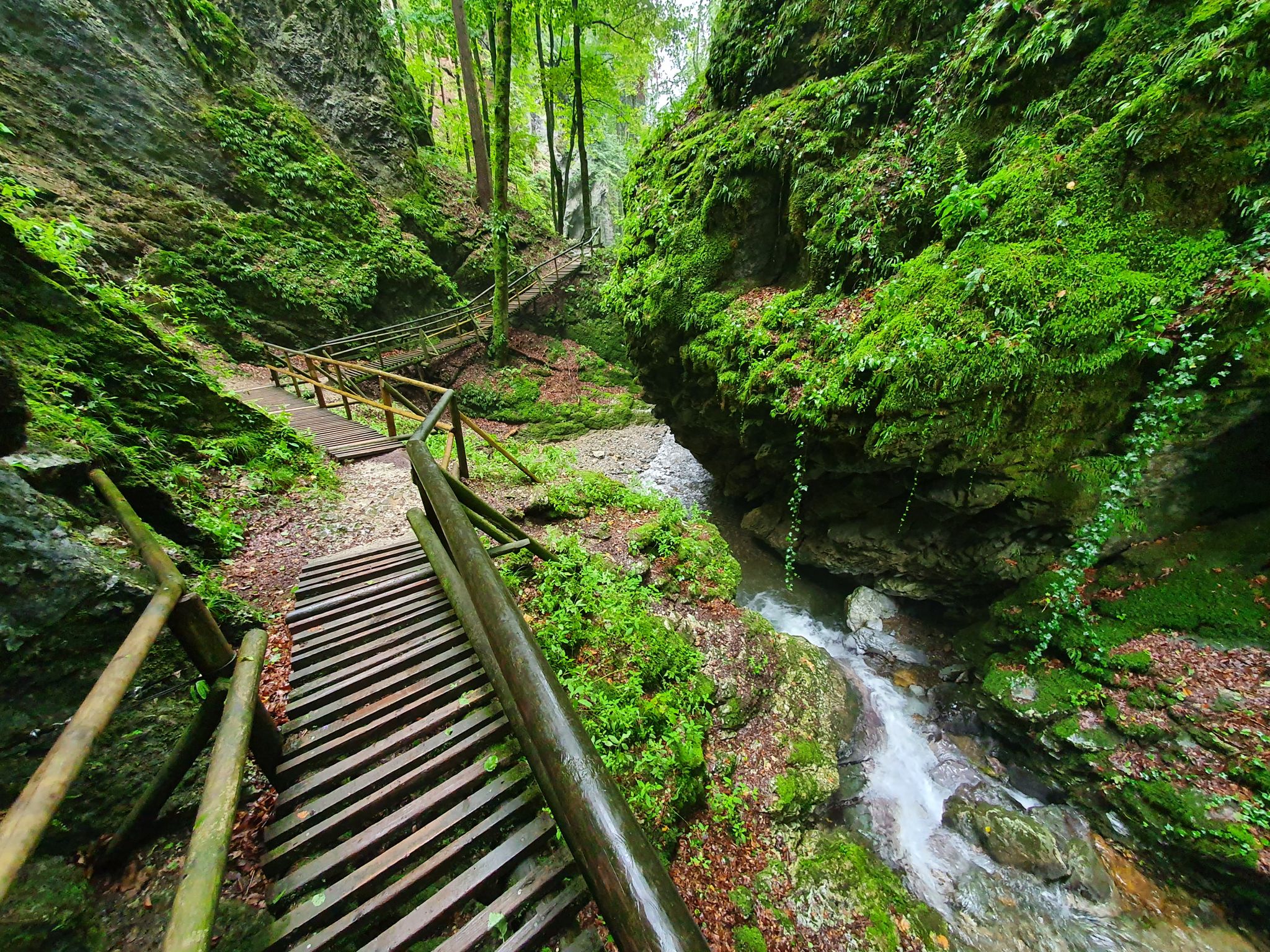
The most beautiful gorges in eastern Austria
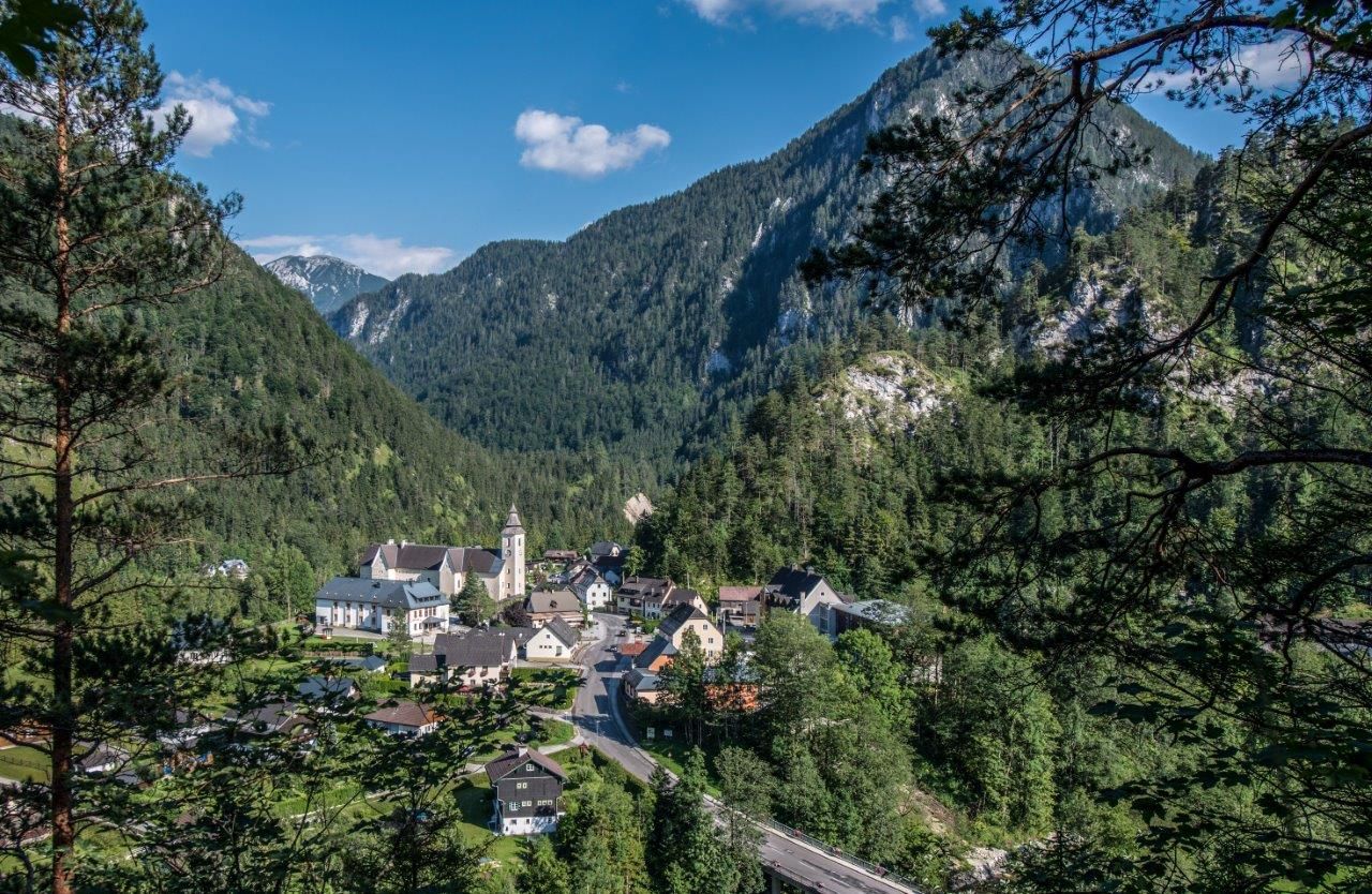
Natur-Aktiv – Familien Wanderungen rund um Wildalpen
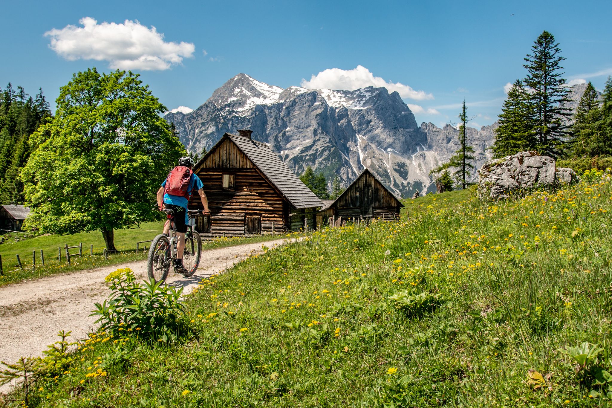
Buchsteinrunde durch die NPs Steirische Eisenwurzen und Gesäuse
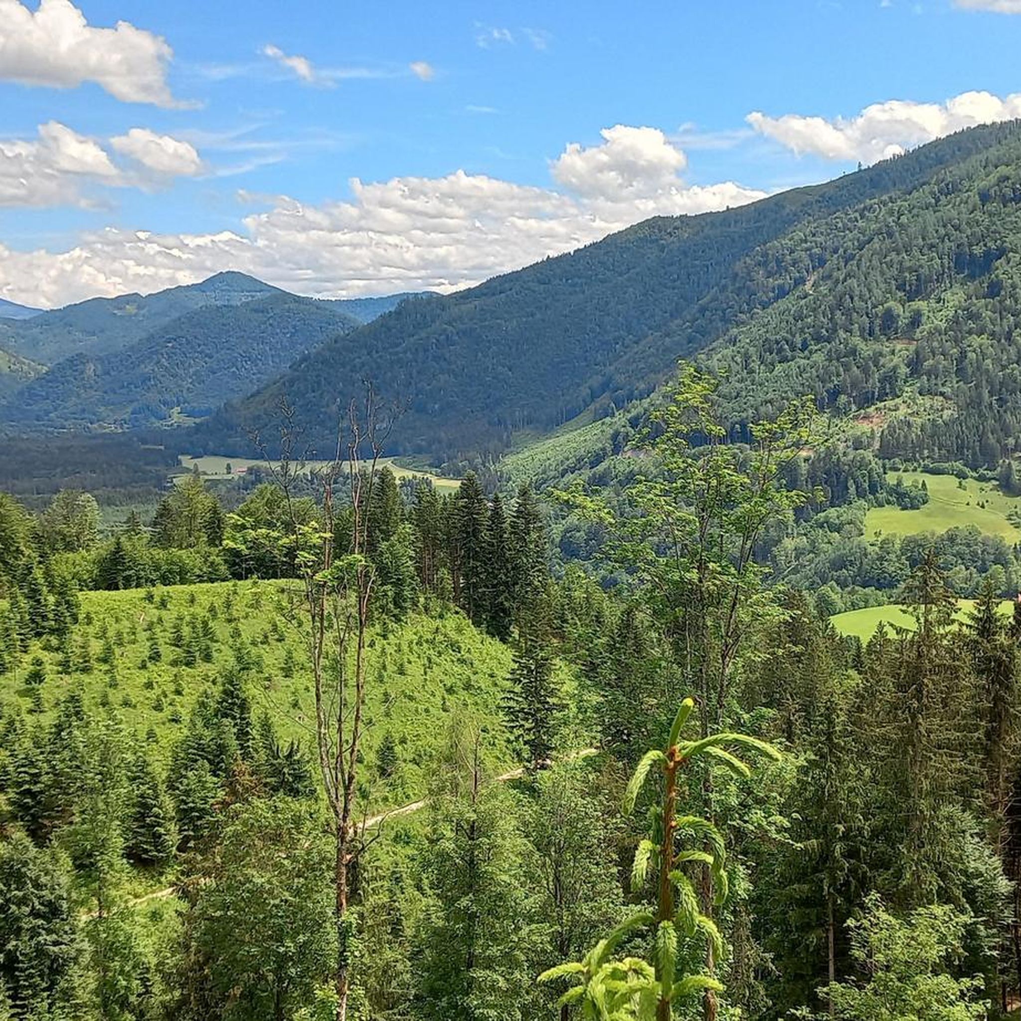
自然とジオパークアイゼンヴルツェンでのハイキング
自然とジオパークアイゼンヴルツェンのMTBトレイル
自然とジオパークアイゼンヴルツェンでのの他の冒険


コミュニティからのヒント

ドイツの語り手であり詩人であるラインホルト・ブラウン(Reinhold BRAUN、1879年~1959年)は、以下の詩で、山のハイカーに急ぐことを勧めず、深く、至福の山頂での休息を推奨しました。 「多くの者は、急いで山に登り 山頂での休息が短すぎる 美しさも太陽の光も見ず ただ「そこにいた」かっただけ そして、日常の感覚と視点で 人生の谷へと戻っていく。 真に祝福されたいと願うなら 魂が明るく、清らかにさまようように: 歩いてきたことを楽しめ 深く、至福の山頂での休息で!」
0
0
ドイツの語り手であり詩人であるラインホルト・ブラウン(1879年~1959年)は、次の詩で、山のハイカーに深く、至福の山頂での休息を勧めています。 „Manche steigen zu Berge mit Hast und halten zu kurze Gipfelrast und sehen nicht Schönheit noch Sonnenschein, sie wollen nur 'oben' gewesen sein, und kehren mit Alltagssinnen und -blick in des Lebens Täler zurück. Willst du wahrhaft gesegnet sein, die Seele dir wandern hell und rein: Genieße, was du erwandert hast, in tiefer, seliger Gipfelrast!“
0
0
「それはあなたにとって常に特別なものですか?」と司会者のヴェルナー・シュミットバウアーは尋ねます。バイエルン放送のシリーズ「Gipfeltreffen」のエピソードで、ミュンヘンの牧師ライナー・マリア・シーシュラーと共に山頂を飾る十字架に到達したときのことです。この聖なる小さな記念碑の前でホッホカーに佇むすべての人々に、彼の短くも的確な答えを考察のために提供したいと思います。「十字架は私にとって常に励まし、希望、出発、人生のしるしでした。両親が私にそう教えてくれました…」
1
0

This is the highest point of the bike tour and an absolute must-see because of the stunning panoramic views from this treeless peak! There is a sign saying "Cycling is prohibited up here," but this only serves to protect the owner from lawsuits in the event of a fall caused by your own fault!
0
0

Beautiful summit with views as far as the Gesäuse, the Phyrn-Priel region and the UNESCO wilderness area of Dürrenstein-Lassingtal.
0
0

"The Voralpe, or Voralm, is a mountain in the Ybbstal Alps in the border triangle of Lower Austria, Upper Austria, and Styria. The mountain has two main peaks: the 1,770 m (5,700 ft) high Stumpfmauer on the border between Lower Austria and Upper Austria, which drops steeply to the southeast; and further southwest, the 1,727 m (5,700 ft) high Tanzboden on the border between Lower Austria and Styria. The border triangle is located in the saddle between the peaks. The Stumpfmauer is the highest elevation in the Steyr-Land district. The Voralpe can be climbed from Hollenstein an der Ybbs or from Altenmarkt, partly via roads and partly via trails, in about three hours. The crossing from one peak to the other takes about 45 minutes. The Eisenwurzenweg (Austrian Long-Distance Hiking Trail 08) also leads over the Voralpe." https://de.wikipedia.org/wiki/Voralpe
0
0

It is a beautiful panorama that you can experience here.
0
0

Great summit for MTB/EMTB. We discovered a sand lizard under a stone
0
0

komootモバイルアプリでインスピレーションを得よう


