ロレインのおすすめMTBライド
4.3
(443)
2,467
ライダー
230
ライド
ロレインでおすすめのマウンテンバイクルートをお探しですか?ムルトエモーゼルが誇るこの美しい自然公園周辺で楽しめるMTBライドを集めたkomootコレクションを参考にしてください。次のアドベンチャーでは、ロレインの魅力をもっと発見しましょう。
最終更新日: 9月 1, 2026
4.6
(5)
205
ライダー
60.0km
05:38
1,130m
1,130m
難しいマウンテンバイクライド. 標準以上のフィットネスレベルが必要です。 高度なライディングスキルが必要です。ツアーの一部で自転車を押して歩く必要があるかもしれません。
4.8
(16)
197
ライダー
46.7km
04:22
780m
780m
中程度のマウンテンバイクライド. ある程度のフィットネスレベルが必要です。 高度なライディングスキルが必要です。

無料新規登録
4.5
(13)
143
ライダー
47.6km
04:08
600m
600m
中程度のマウンテンバイクライド. ある程度のフィットネスレベルが必要です。 高度なライディングスキルが必要です。
4.7
(37)
116
ライダー
48.7km
04:41
1,030m
1,030m
難しいマウンテンバイクライド. 標準以上のフィットネスレベルが必要です。 あらゆるスキルレベルに適しています。
4.8
(21)
84
ライダー
40.1km
03:50
850m
850m
中程度のマウンテンバイクライド. ある程度のフィットネスレベルが必要です。 あらゆるスキルレベルに適しています。
さらに多くのルートや他のユーザーのおすすめ情報を確認できます。
無料新規登録
すでにアカウントをお持ちですか?
おすすめのツアーは他のkomootユーザーが実際に経験した何千ものアクティビティに基づいています。
無料アカウントで今日から始めよう
次の冒険が待っています。
ログインまたは登録
ロレイン周辺で人気
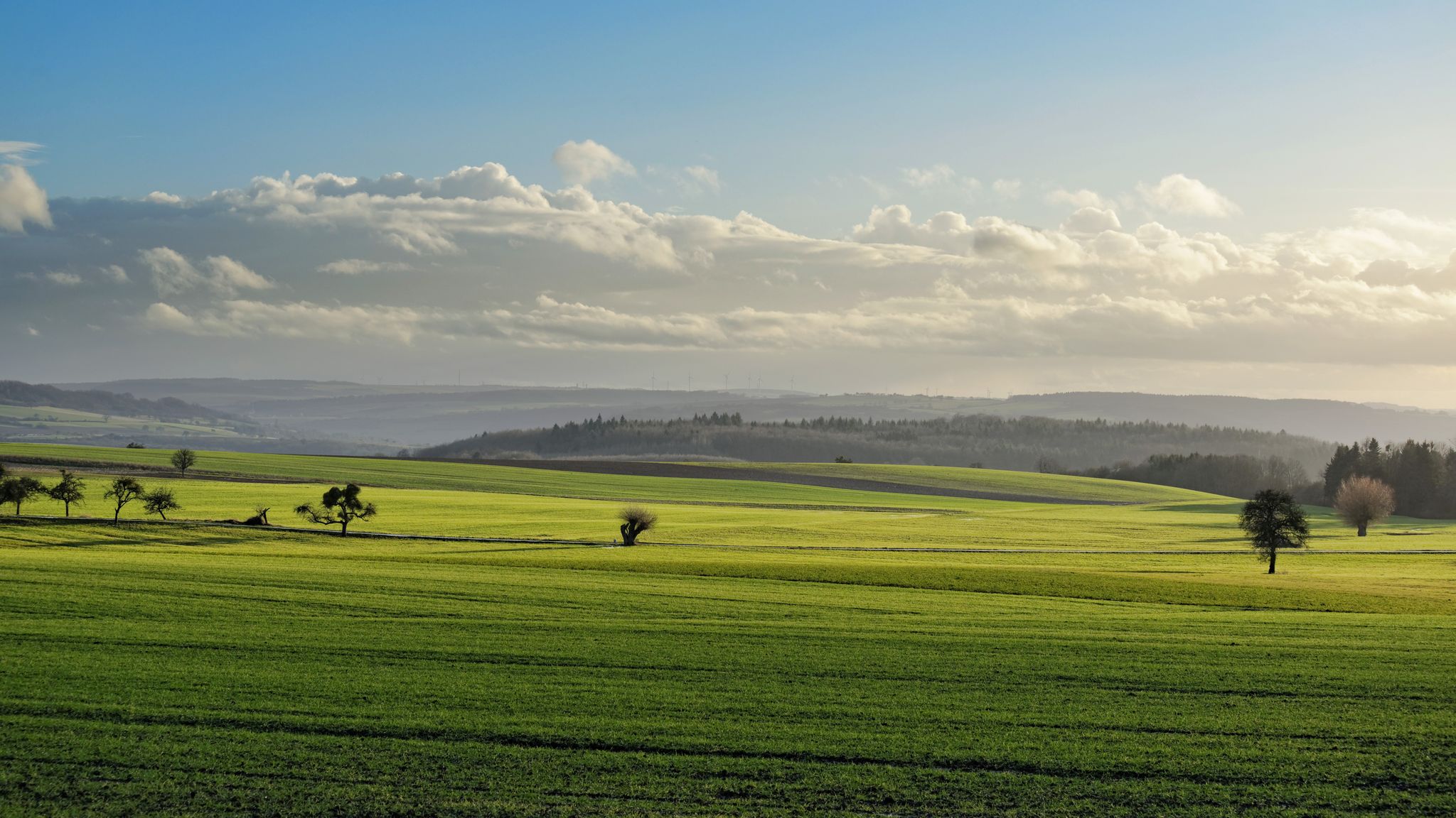
ユーロッパ・トレイル — GR5 アブレシュビレからアパッハまで
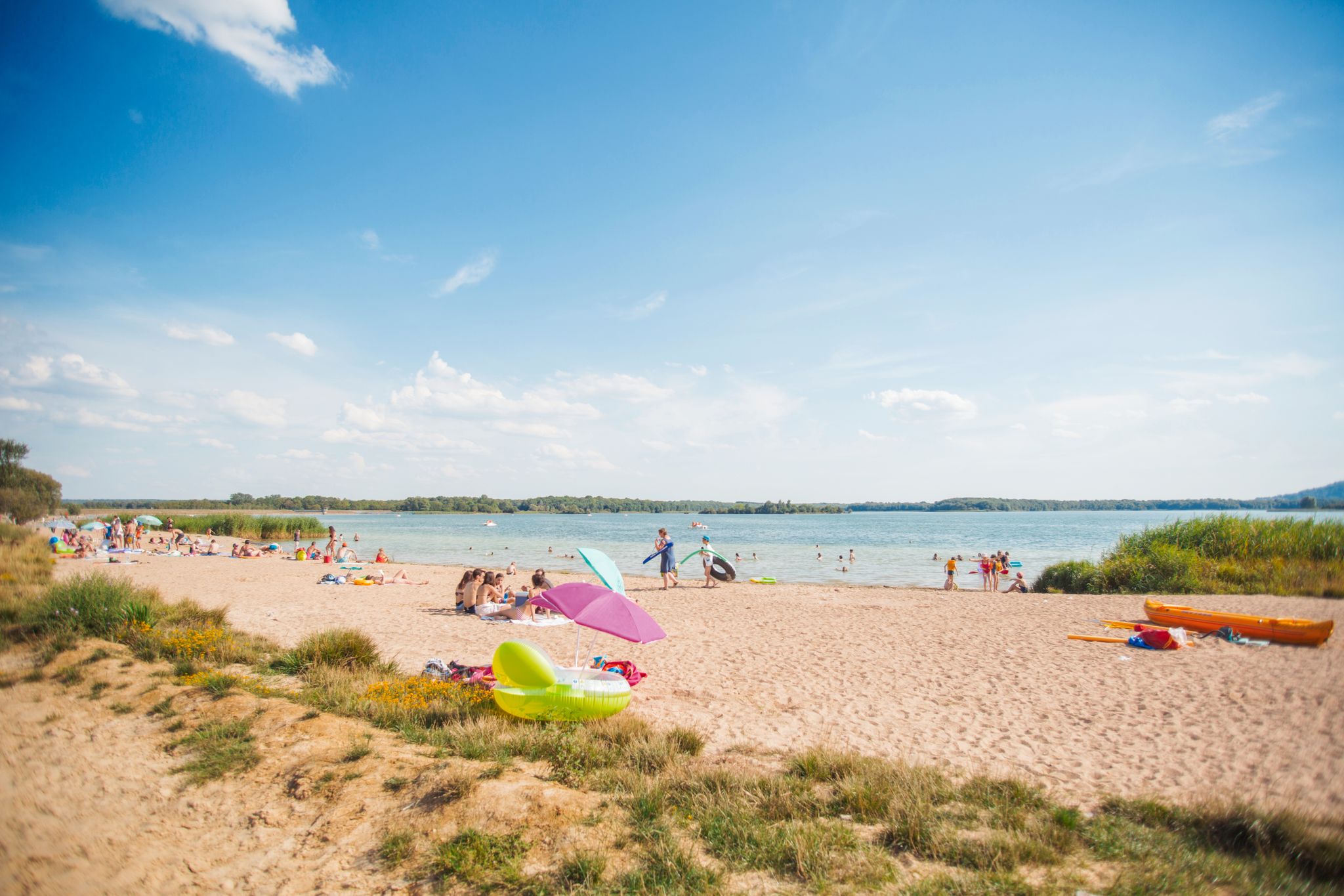
Walking in fresh air or alongside water in the Grand Est
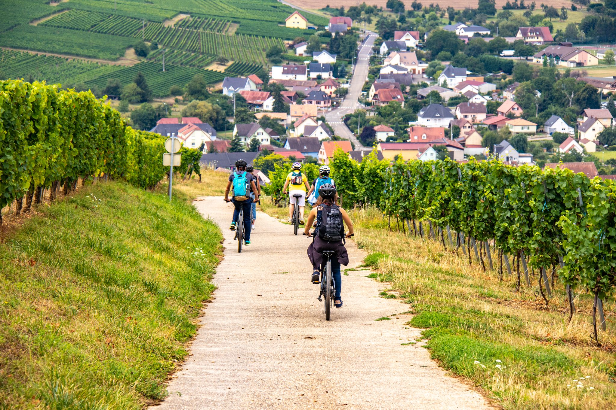
EuroVelo 5 - Via Romea (Moselle - Alsace)
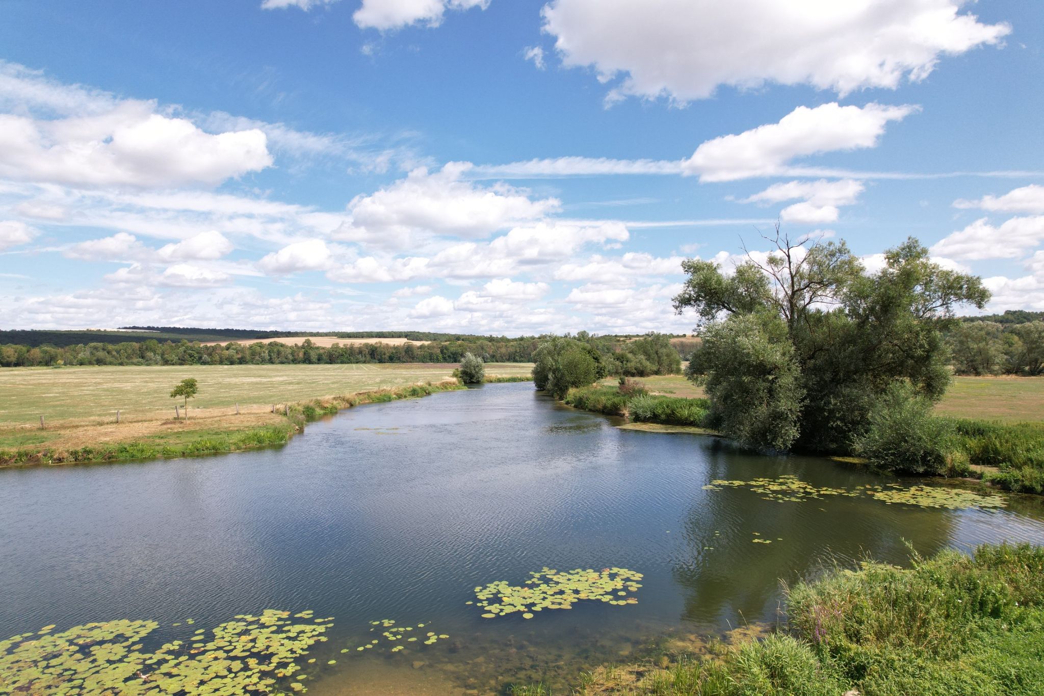
モーズ川沿いの冒険 - ユーロベロ19
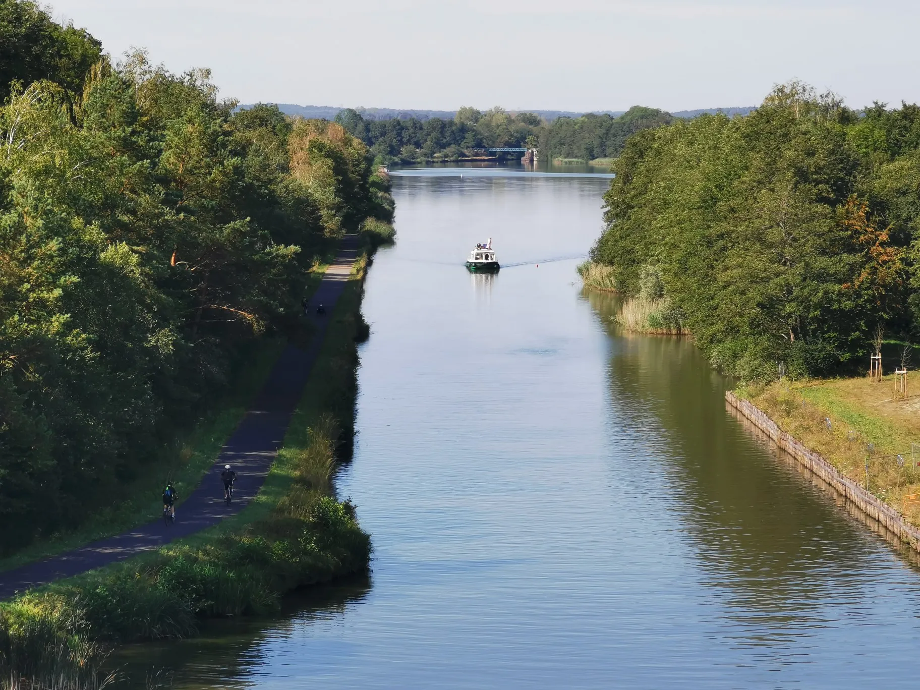
マルネ=ライン運河沿いのリバーゲッタウェイ
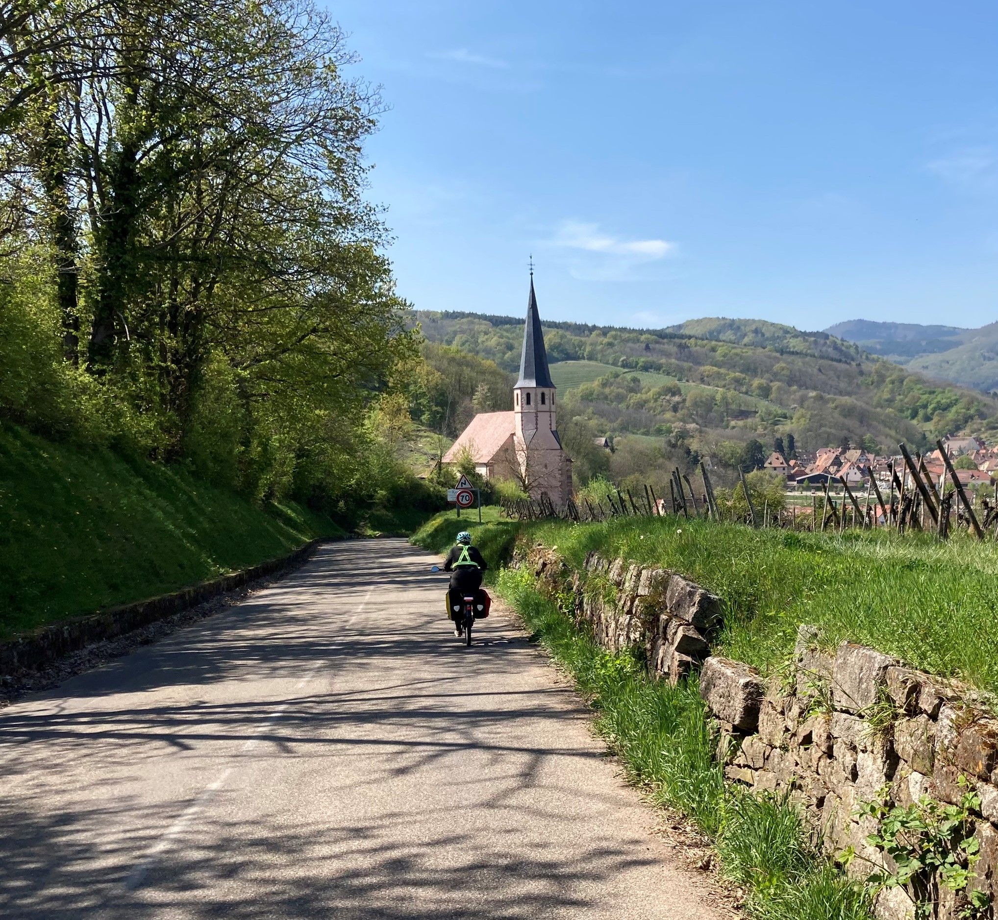
エルザス・モゼルのビア・ロメア・フランチジェーナ – ユーロベロ5
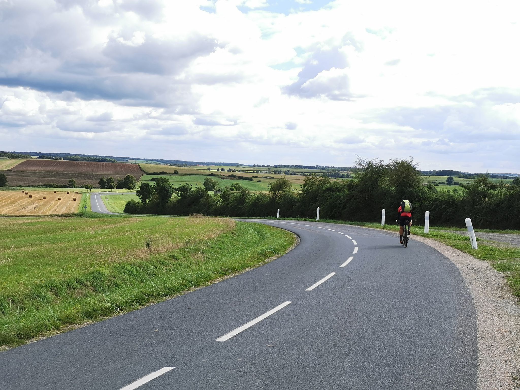
サイクル・パッキング Veloroute SaarLorLux について
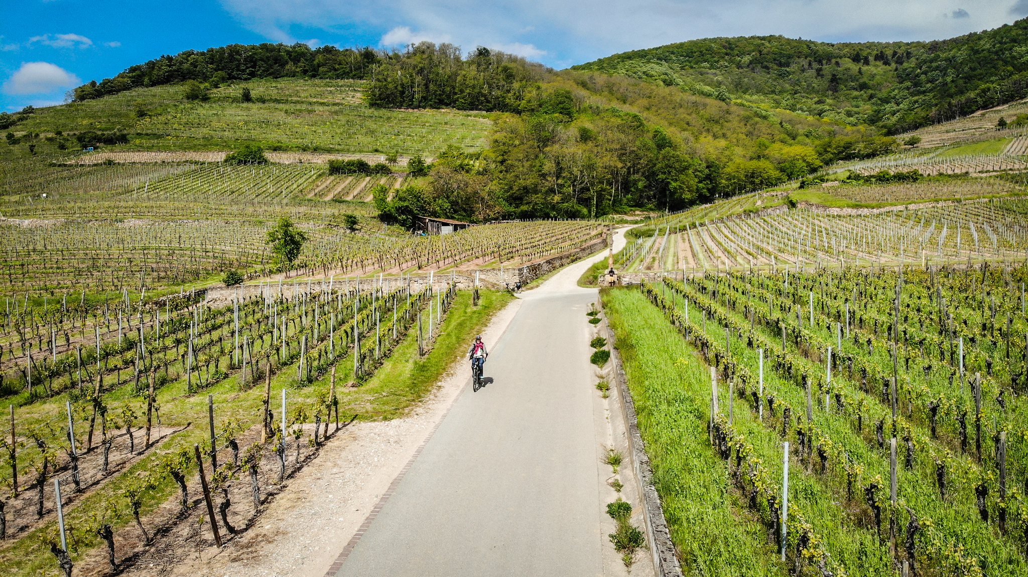
L’Alsace à Vélo - Entre canaux, vignoble et vallées vosgiennes
ロレインでのハイキング
ロレインでのサイクリング
ロレインでのの他の冒険


コミュニティからのヒント

Beautiful view over Verdun and the Meuse valley. On the nearby main road it is wonderful to drive downhill, but uphill is only recommended to a limited extent due to the busy traffic.
7
0

The Tomb of Tavannes Nearly a thousand men died in the tunnel on September 4, 1916. Never forget 💮.
3
0

The Tavannes Tunnel was built between 1873 and 1874. It is a single tunnel, 5 meters wide and 1,196 meters long. The second tunnel, built in 1936, is the only one still in use today. Dug shortly after the Franco-Prussian War and 1,400 meters long, this single-track railway tunnel connected Verdun to Metz. Following the annexation of the latter city, the fate of the tunnel worried the military authorities. The report of the April 22, 1881, meeting of the Fortifications Committee states: "The Tavannes Tunnel, whose western end is behind the external works of Verdun, opens onto the Woêvre plain, beyond the Tavannes Fort. It is equipped with three groups of mine furnaces, and it is important that it remain in the hands of the defense until such time as it is deemed appropriate to destroy it. It is for this purpose that it is proposed to organize its eastern head defensively." The project supports two crenellated guardhouses, measuring less than 5.5 × 3.5 m, on either side of the track, against the tunnel. These guardhouses are connected by a short gallery inside the tunnel behind an armored door pierced with four firing loopholes. Between the guardhouses, the track crosses a 5.3 m long and approximately four meter deep jump, covered by "a light bridge that will be removed in time of war." Furthermore, the presence of eight mine furnaces in the center of the tunnel is also mentioned, six on the flank and two in the sky. The advisability of building upper floors of the guardhouses was discussed, and, as usual, money was discussed at length. A letter from Battalion Commander Lerosey of the Verdun Engineers was found in the archives, writing on February 13, 1895, to the general, president of the Technical Engineering Committee: "I have the honor to inform you that the construction of the defensive guardhouses at the eastern head of the Tavannes tunnel, including the gate and the ha-ha bridge (...) was completed (...) in 1883." The Technical Engineering Committee, in its meeting of March 5, 1895, recommended connecting the Tavannes fort to the tunnel by a gallery 160 cm wide by 230 cm high, with a length of 375 m, descending at a gradient of 14 centimeters per meter. The discussions seem to be very close to being concluded, but the information stops there, due to a lack of knowledge of the realization of these intentions. Within the proposals, the parallel with the Montmédy gallery is often mentioned[1].
3
0

Each of these crosses that the biker encounters in the villages or in the fields is a sign of remembrance of the crucifixion, but also of the resurrection of Jesus Christ. "Here on earth there is His memory, but in the kingdom of heaven there is His presence: this presence is the joy of those who have already reached salvation. The memory is our consolation, as we are still wanderers, traveling towards our homeland." (Bernard of Clairvaux)
0
0

Not too much D+ but the pleasure is omnipresent in this multitude of singles. Take the time to sit down but watch out for mosquitoes..
0
0
Be careful of roots and slopes which could send you swimming in shell holes filled with water during wet weather.
0
0

This is where hemp fiber was once extracted by soaking the plants in ponds. A few information panels provide more information on this craft as well as the flora and fauna that have since settled there. Overall, this is a well-designed and informative site.
2
1
The cult of the Virgin is ancient in Lorraine, particularly on the Hill of Sion. The apparitions of Lourdes after those of La Salette mark the souls of a very Christianized population in the countryside. Pilgrimages to Lourdes gained momentum in the 1880s. In 1883, there were 1,600 pilgrims from Lorraine. The momentum was given. The idea naturally came to evoke or reproduce the Massabielle cave. https://www.bruley.mairie54.fr/fr/la-replique-de-la-grotte-de-lourdes.html
4
0
ロレインでのの人気観光スポット

komootモバイルアプリでインスピレーションを得よう


