ポセツ-マラデタの絶景の山頂・トップ20
絶景を目指して登るのであれ、達成感のために登るのであれ、山頂を訪れることで、ポセツ-マラデタの美しい自然をもっと満喫することができます。20
もの選択肢の中から、制覇する山頂を決めるのは簡単ではありません。スムーズに次の冒険で目指す山頂を選べるように、ポセツ-マラデタの素晴らしい山頂をこのガイドにまとめました。
最終更新日: 8月 30, 2026
ピカダ峠
ハイライト • 山道
very beautiful, with unbeatable views of the north face of Maladeta.
The path is well defined …
翻訳者 Google •
役立つ情報 は

アネト山頂
ハイライト • 山頂
翻訳者 Google •
役立つ情報 は

今すぐサインアップして、こんな場所を発見しよう
最高のシングルトラック、ピーク、その他のエキサイティングなアウトドアスポットのおすすめを受け取ろう。
無料新規登録
サルバグアルディア峰
ハイライト • 山頂
To Puerto de Benasque good trails. Also suitable for …
翻訳者 Google •
役立つ情報 は

ペルディゲロ峰
ハイライト • 山頂
翻訳者 Google •
役立つ情報 は

無料アカウントで今日から始めよう
次の冒険が待っています。
ログインまたは登録
ポセツ-マラデタ周辺で人気

パノラミックピレネース – 3,000メートル以上の15のハイカーズピーク

ピレネースクロス – オートルートピレネーヌコレクション: ピレネースクロス – オートルートピレネーヌ
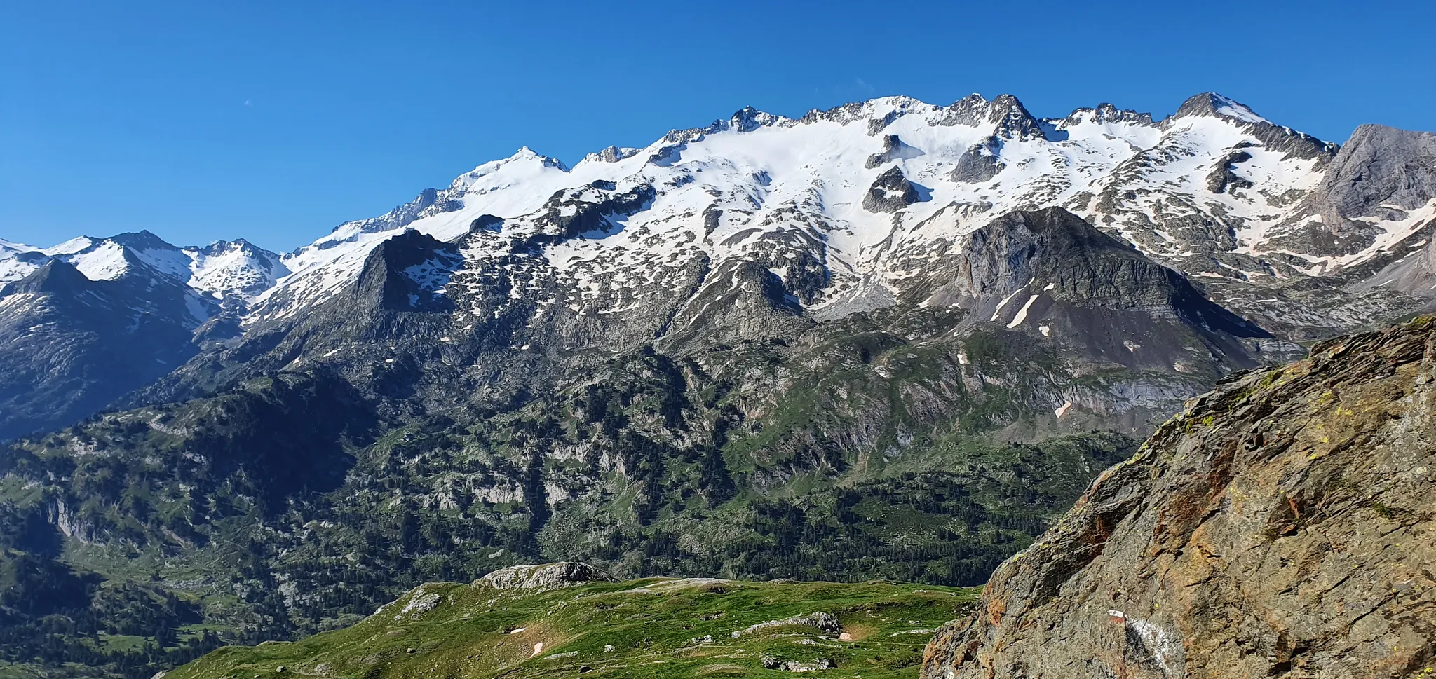
クイーンからピレネーのキングまで - ルションからの壮大なループ
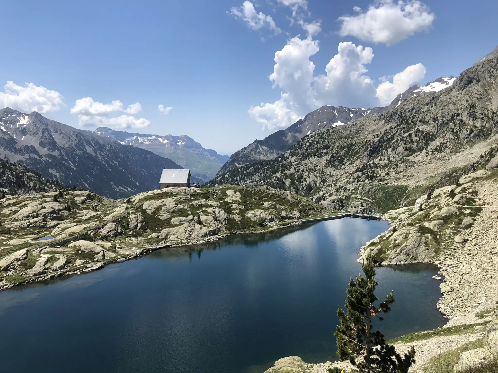
アラゴンのマルドルックリアルド - GR 11
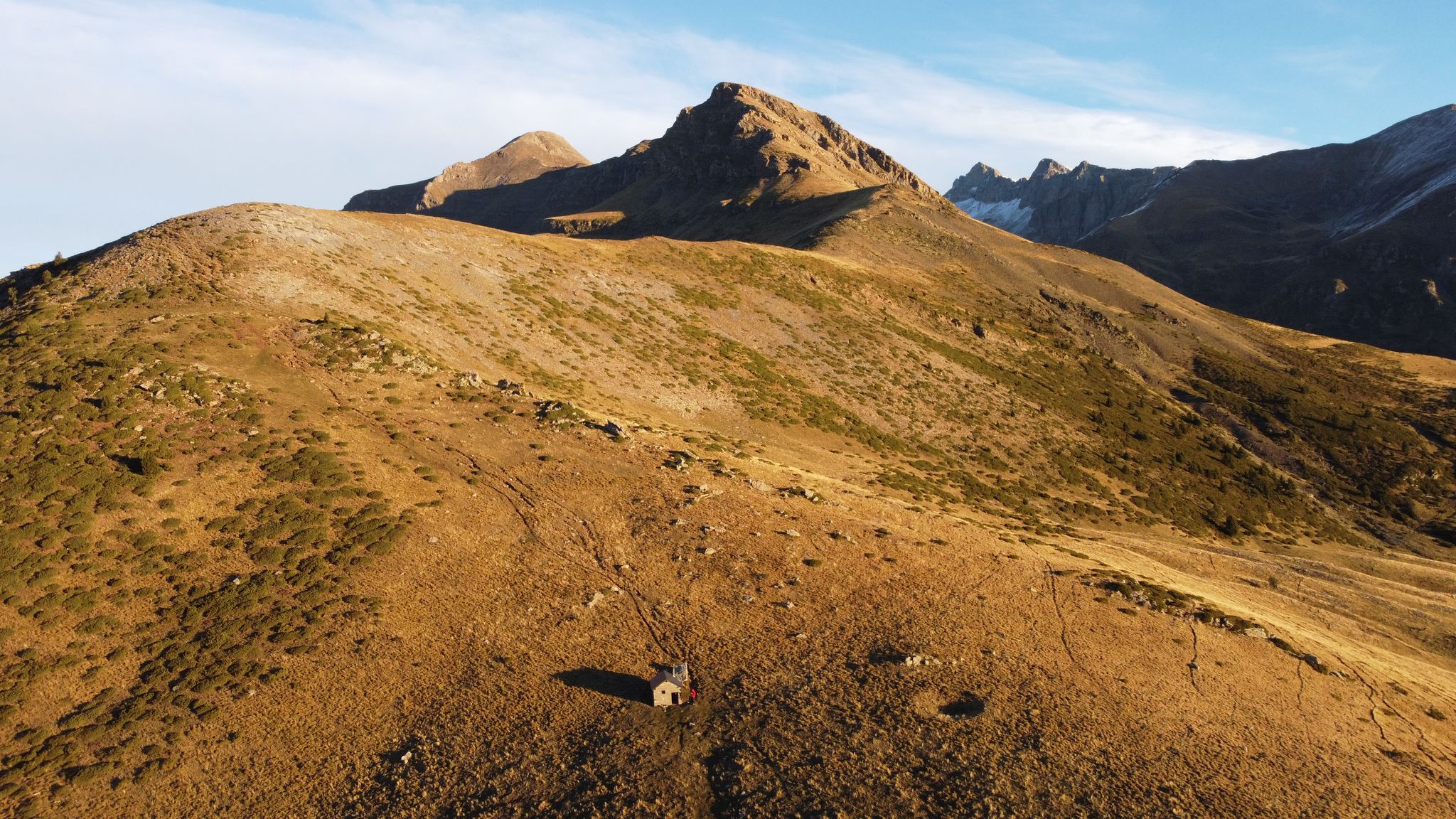
Rutas de alta montaña en el municipio de Sahún — Valle de Benasque
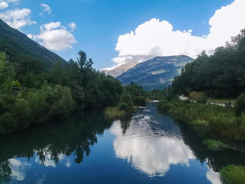
Pequeños recorridos en el municipio de Sahún — Valle de Benasque
Senderos desde Eriste — Valle de Benasque
ポセツ-マラデタでのハイキング
ポセツ-マラデタのMTBトレイル
ポセツ-マラデタのランニングコース
ポセツ-マラデタでのの他の冒険


コミュニティからのヒント

The highest peak in the Pyrenees mountaineering region.
1
0

The highest peak in the Pyrenees and the one everyone wants to climb. Its demands are more physical than technical, with the exception of the Mahoma Pass, not suitable for those with vertigo, and the Aneto Glacier, which is recommended to avoid in the middle of summer when the hard centuries-old ice is exposed and landslides increase due to melting. At the top you will find a gigantic metal cross, a statue of the Virgen del Pilar and a small bust of San Marsial, patron saint of Benasque. Each of them installed by different groups that want to make their own a piece of this colossus that, although it is difficult to believe, went unnoticed for centuries in the shadow of the apparently more prominent Tuca de la Maladeta (from the Occitan "Mall Hita", the 'high peak').
1
0

Culminating at 3,222 meters above sea level, the Perdiguère peak dominates a magnificent ridge that includes several peaks exceeding 3,000 meters. Located on the Franco-Spanish border, it dominates the massif of the same name offering an absolutely incredible 360 degree panorama.
2
0

Aneto is the highest peak in the Pyrenees and the second highest in the Iberian Peninsula, with an altitude of 3,404 meters above sea level. It is located in the Posets-Maladeta Natural Park, in the Spanish municipality of Benasque, province of Huesca, autonomous community of Aragon. It is part of the Maladeta massif and, located in the Benasque valley, is made up of Paleozoic terrain of granitic nature and Mesozoic materials. On its northern face, starting at approximately 2810 m, is the largest glacier in the Pyrenees, with about 100 hectares of surface, which is, like many in the world, in clear regression as a consequence of climate change (it is estimates that in the last 100 years it has lost more than half of its surface, and that in 30 or 40 years it may disappear).
2
0

The Aneto, roof of the Pyrenees and watchtower over the park, is a symbol and a challenge for mountaineers who come to this natural park to climb to 3404 meters high. The most frequented routes are the one on the north side from Besurta, and the one on the south side from the Coronas bridge to Vallibierna.
3
0
A horizontal passage of 40 meters in length and with considerable verticality on both sides, separates the summit from the summit. It is also the last difficulty we will have to overcome before reaching Aneto. Albert de Franqueville, one of the first men to summit the Aneto, was the one who gave this name to this part of the mountain: "Fineer than a hair and sharper than a saber", that is the bridge of Muhammad according to the legend: the entrance to Paradise, at the top of the Aneto, for the eyes of Franqueville. The factors for which this step is dangerous are: - The verticality on both sides of the step and the inevitable feeling of vertigo. A fall is fatal. - In some sections you have to use your hands to move forward. - The possible density of people crossing the pass. All mountaineers who climb Aneto must cross this pass twice: to go there and to return. There are points on the Muhammad Bridge where two people cannot cross. Be patient. - The possible presence of water, ice and snow, which can make the passage slippery. - Vulnerability to lightning strikes in the event of a storm. For these reasons, it is not necessary to do this section of the ascent if it is not completely safe, nor to force anyone to go through it. Accumulated fatigue and nerves are a bad combination that can end in fatality.
3
1

From the Benasque Hospital to Puerto de la Picada, it is a simple and very beautiful, with unbeatable views of the north face of Maladeta. The path is well defined and marked by milestones until reaching Port de la Picada itself. It goes up gently in a zigzag pattern until it reaches the Basetas del Portillón, small lakes that can sometimes be found dry. From here, we turn right, looking for an easterly orientation to overcome the last slope that leaves us at Port de la Picada. On the other side, you can see small lakes called Bom des Clòts de Lunfèrn and the Valley that descends towards Artiga de Lin (Vall d'Aran).
1
0

The Perdiguero massif and the peak with the same name are the third highest of the area after Aneto and Posets. You can access it's summit from the Estós Valley in one bug oush or by spending the night in the refuge.
1
0
ポセツ-マラデタでのの人気観光スポット

komootモバイルアプリでインスピレーションを得よう


さらに探索
これらのガイドでさらに素晴らしい頂上を見てみましょうポセツ-マラデタでの:
