ピコスデエウロパのおすすめランニングルート
4.6
(8)
1,142
ランナー
97
ランニング
ピコスデエウロパでランニングを楽しめば、このエリアをより深く知ることができます。ランニングに適した美しいルートが見つかるように、komootがピコスデエウロパでのルートのコレクション全体を評価して選び抜いた、人気ランニングトレイルをご紹介します。ルートをクリックして詳細を表示し、他のユーザーがアップロードした役立つ情報や写真を閲覧しましょう。
最終更新日: 10月 10, 2026
34
ランナー
35.0km
08:43
2,720m
2,720m
Tackle the challenging Ring of Picos (3 Massifs) jogging route in Picos de Europa National Park, covering 21.7 miles and 8916 feet of gain.
16
ランナー
6.72km
00:50
170m
170m
Jog the 4.2-mile Lago Enol y Lago de la Ercina circular route in Picos de Europa, featuring glacial lakes and mountain views.

9
ランナー
13.3km
02:51
860m
860m
難しいジョギング. 標準以上のフィットネスレベルが必要です。 安定して歩行できる技術、丈夫な靴、高標高地での登山経験が必要です。
5
ランナー
23.6km
06:02
1,860m
1,860m
This difficult 14.6-mile circular jogging route in Picos de Europa offers spectacular views of Picu Urriellu and rugged terrain.
11
ランナー
10.9km
02:27
890m
900m
This difficult 6.8-mile (10.9 km) jogging route in Picos de Europa National Park offers strenuous climbs and stunning alpine scenery.
さらに多くのルートや他のユーザーのおすすめ情報を確認できます。
すでにアカウントをお持ちですか?
おすすめのツアーは他のkomootユーザーが実際に経験した何千ものアクティビティに基づいています。
無料アカウントで今日から始めよう
次の冒険が待っています。
ピコスデエウロパ周辺で人気
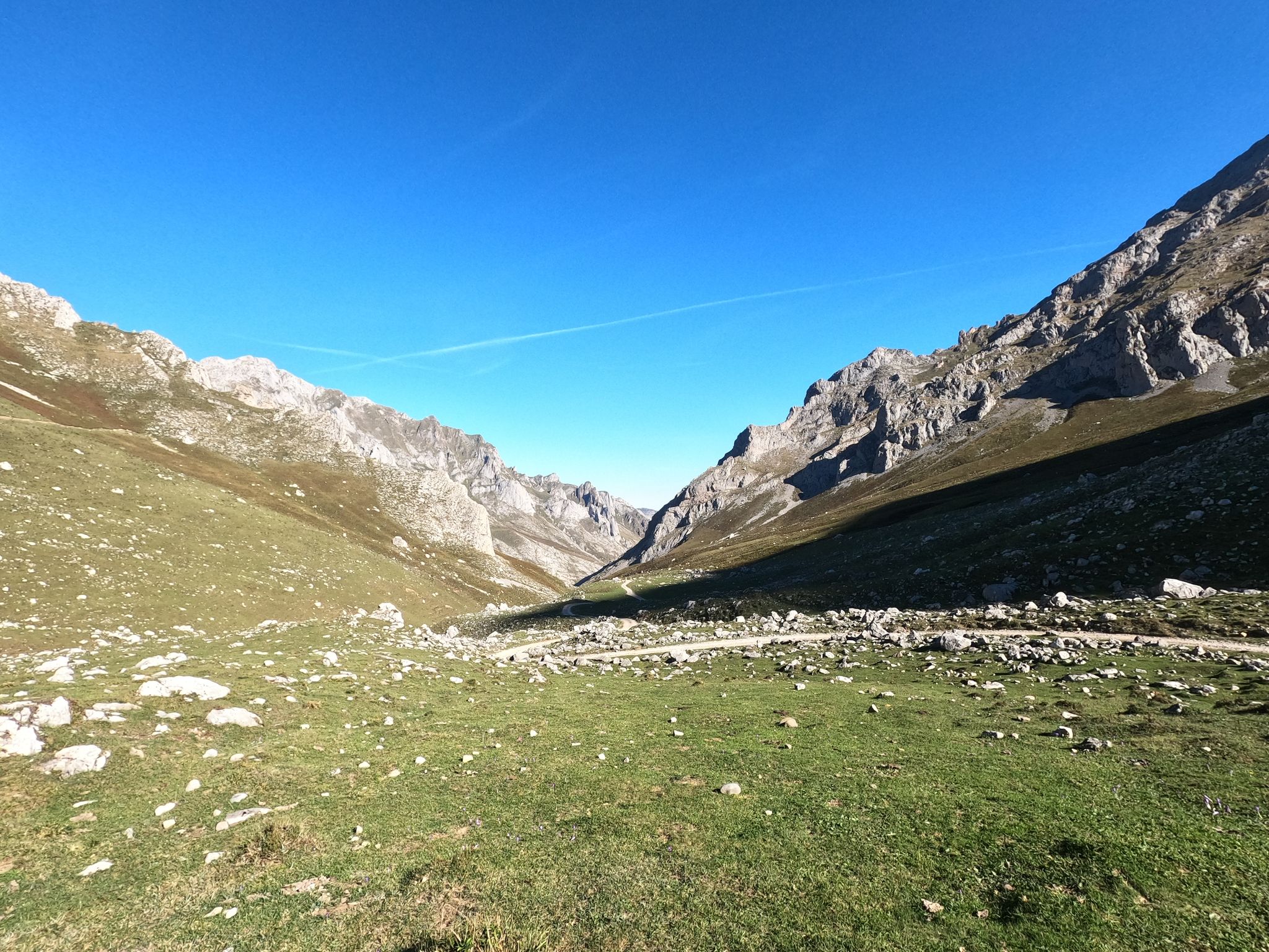
フォティトのフォティのリコトクランド
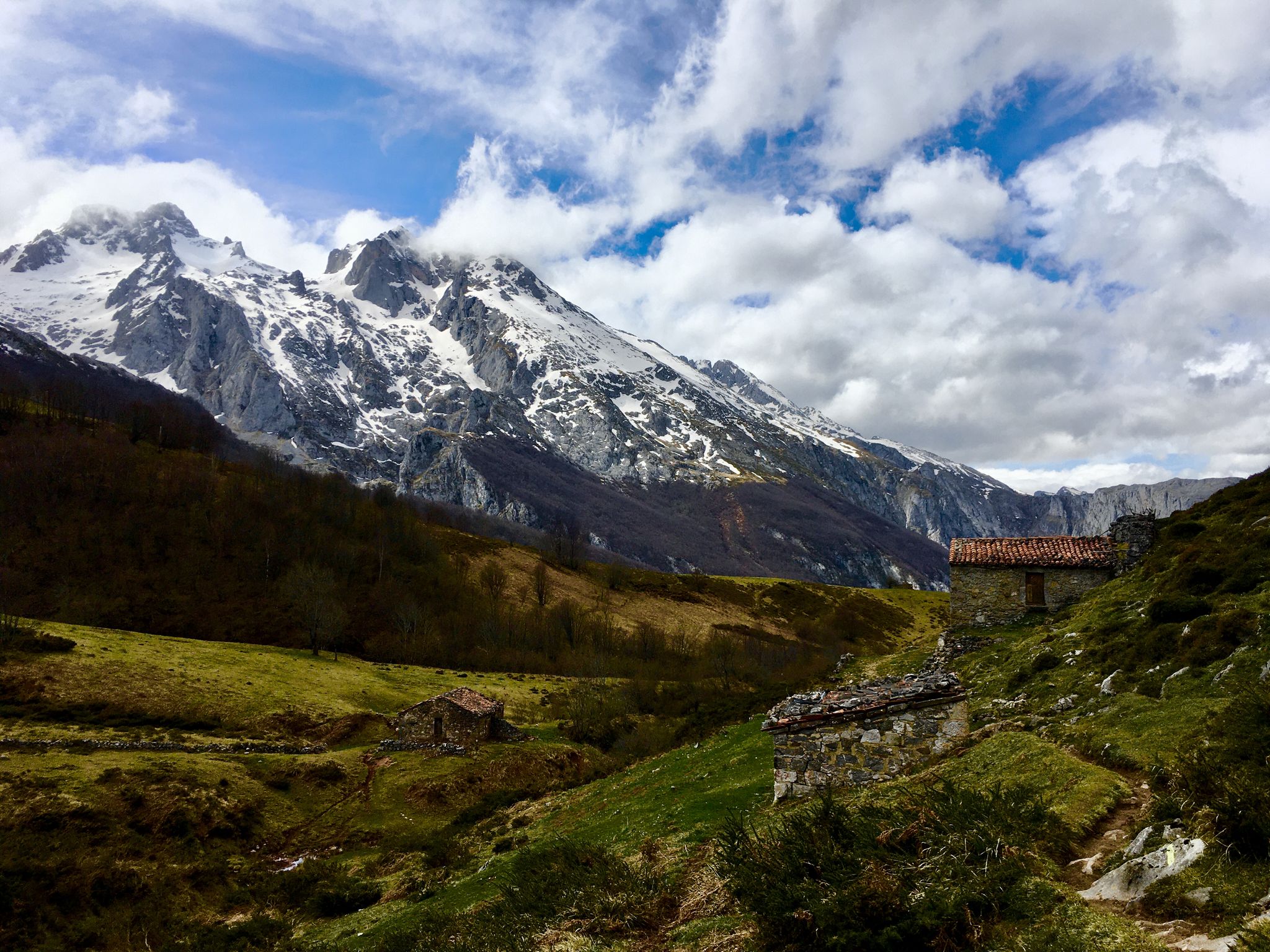
軍隊の足跡をたどる - 復奪のルート (GR 202)
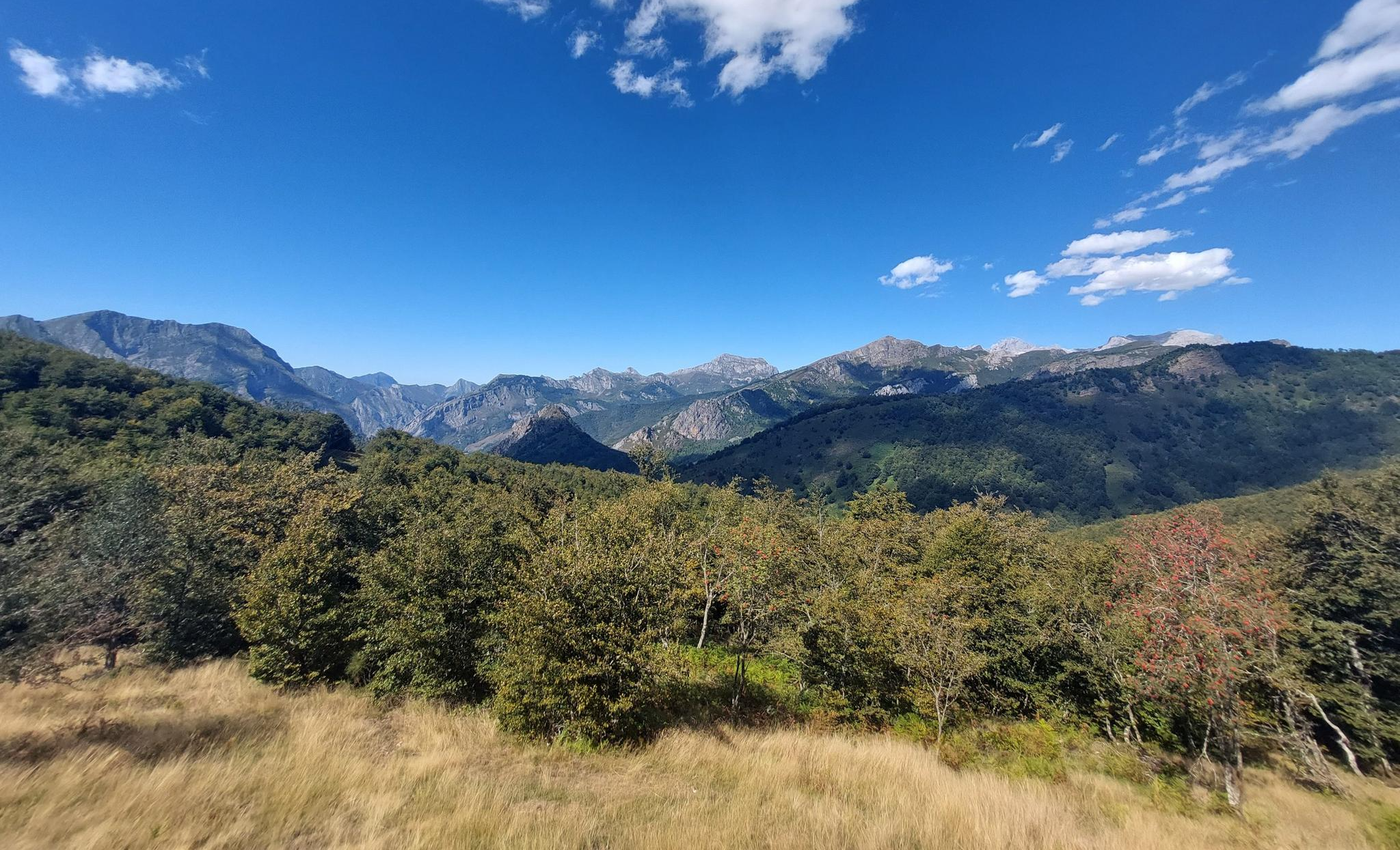
センダ・デル・アルセディアーノ(GR 210) - ピコス・デル・ピコスの歴史的ハイキングコース
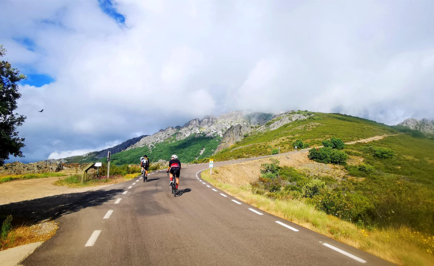
伝説の上り坂 - ツアー・オブ・スペインの港

トランスカンタブリカ – 北スペインのエクストリームマウンテンバイク
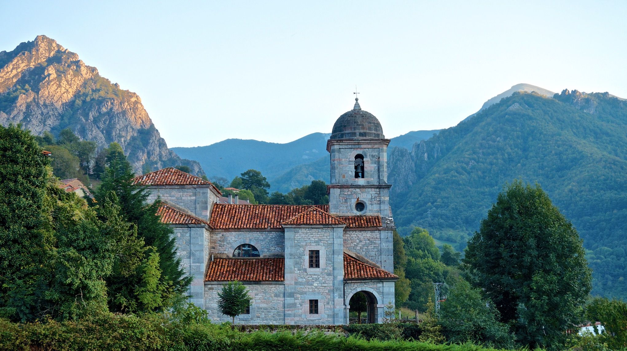
ア リストール プリウィ - Pedales de León MTB
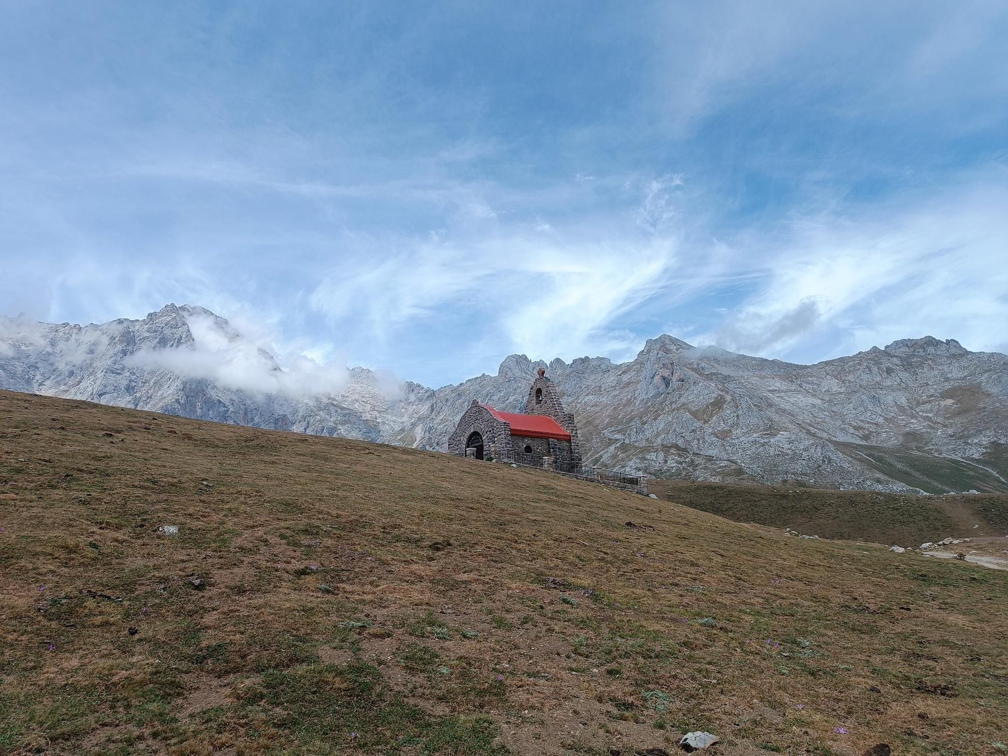
プリジランドの影化 - Camino de los Santuarios
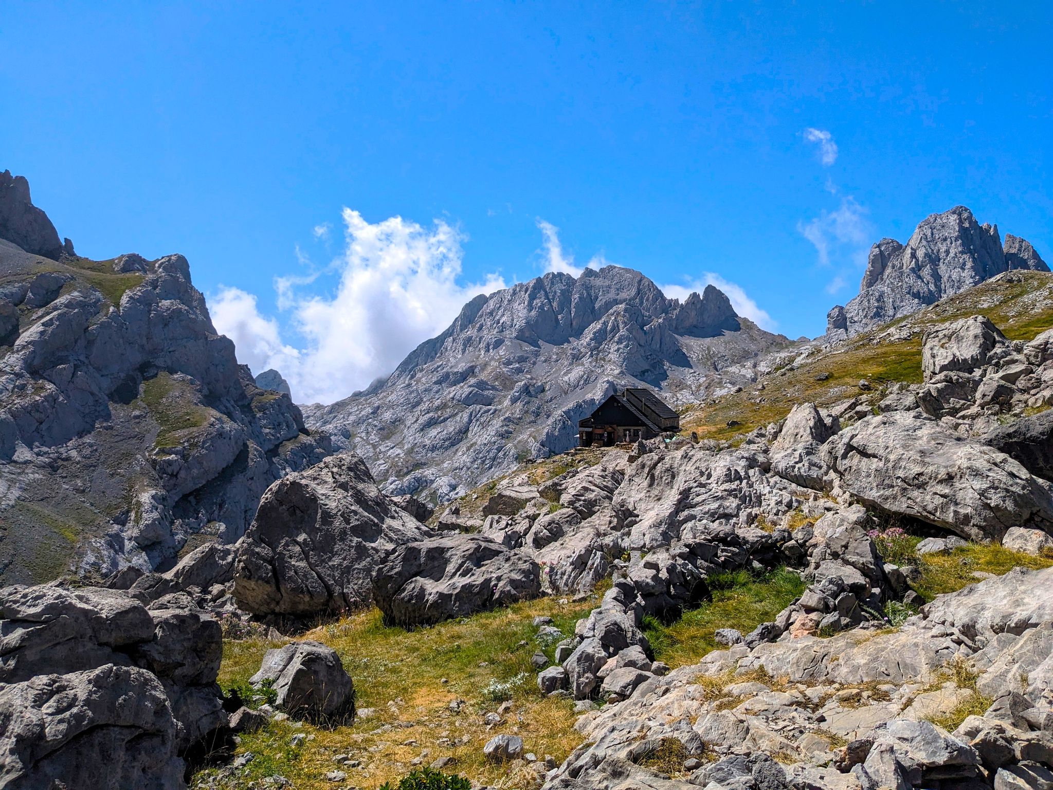
野生のコヤド・ヘルモソ - ピコス・デ・エウロパ
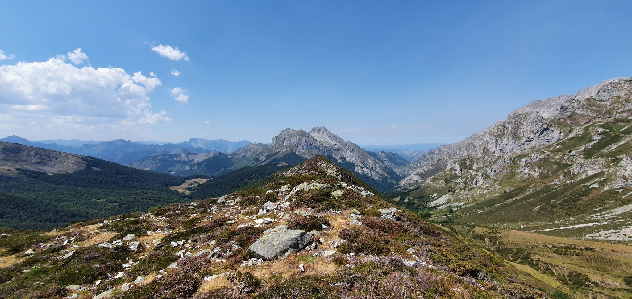
スペインのピコス・デ・エウロパでの4日間のハイキング– Anillo Vindio
スワースはピコドアルドアの门尾の门 - リンドの尾, 四マスッスルス
ピコスデエウロパでのの他の冒険


コミュニティからのヒント

2500mのTorre de los Horcados Rojosは、私にとって非常に挑戦的でしたが、達成可能でした。Fuente Déのケーブルカーの山頂駅から出発する、明らかに非常に人気のあるツアーの終点にある素晴らしい目標でした。今年の休暇のハイライトツアーです。断崖絶壁に危険なほど近づかなくても、あらゆる方向への息をのむような素晴らしい景色が楽しめます。山頂の少し手前には、前衛峰から一番上への少し厄介な通過点があります。私は左側に渡ってから登りましたが、他の人も右側を直接登っていました。
0
0
9月初旬には湖はほとんど干上がっていましたが、それでも羊の群れにとっては喉を潤すのに十分な機会でした。
0
0

エンオル湖についての私の意見は、コバドンガ湖の中で最も美しく壮観であり、アストゥリアスで最も特別な山の風景の一つであるということです。 🌊 アイコニックな画像:深い湖、反射する山々、草を食む牛が完璧なポストカードを作成します。 🏔️ 偉大さの感覚:エルシナ湖よりも「高山」の雰囲気があります。 📸 非常に写真映えする:特に軽い霧の中、夜明け、または雨の後。 🚶♀️ アクセス可能:長いハイキングをしなくても楽しめます。
1
0

Wonderful location in the Picos de Europa
2
0

Some tunnels are relatively long, dark, and uneven. A headlamp can be helpful here. You can take a Jeep ride back through the park from Cain with a national park ranger. Very informative. Advance reservations are required.
1
0
This place is famous for its impressive glacial cirque and the Fuente Dé Cable Car, which allows visitors to ascend to a height of 1,823 metres in just 4 minutes. Fuente Dé is also a starting point for various hiking and mountaineering routes, such as the ascent to Alto de la Triguera and the circuit around Peña Remoña. In addition, the area is rich in biodiversity and offers opportunities for observing flora and fauna.
4
0
Great stopover on the way to Picu Urriellu
0
0

This is a humble refuge at an altitude of 1,300 metres in the Picos de Europa, which is an intermediate point between the winter resorts of Texu and the Urriellu plain. It has 20 beds, an open kitchen for guests, a fireplace and a wood stove. It also offers a food service and a bar.
0
0

komootモバイルアプリでインスピレーションを得よう


さらに探索
他の地域の最高のランニングトレイル & ルートを見てみましょう。
