コルノアッレスケールのおすすめライド
4.4
(132)
4,069
ライダー
94
ライド
コルノアッレスケールでのでおすすめのロードバイクルートをお探しですか?ボローニャが誇るこの美しい自然公園周辺で楽しめるライドを集めたkomootコレクションを参考にしてください。次のアドベンチャーでは、コルノアッレスケールの魅力をもっと発見しましょう。
最終更新日: 8月 23, 2026
5.0
(1)
11
ライダー
13.5km
00:51
380m
380m
中程度のロードライド. ある程度のフィットネスレベルが必要です。 全般的に舗装状態が良好で走行しやすい道です。
5.0
(1)
29
ライダー
43.8km
02:40
1,160m
1,160m
難しいロードライド. 標準以上のフィットネスレベルが必要です。 全般的に舗装状態が良好で走行しやすい道です。

無料新規登録
12
ライダー
28.1km
01:48
830m
830m
中程度のロードライド. ある程度のフィットネスレベルが必要です。 全般的に舗装状態が良好で走行しやすい道です。
5.0
(3)
127
ライダー
121km
07:16
3,050m
3,050m
難しいロードライド. 標準以上のフィットネスレベルが必要です。 全般的に舗装状態が良好で走行しやすい道です。
4
ライダー
45.5km
02:28
880m
880m
中程度のロードライド. ある程度のフィットネスレベルが必要です。 全般的に舗装状態が良好で走行しやすい道です。
さらに多くのルートや他のユーザーのおすすめ情報を確認できます。
無料新規登録
すでにアカウントをお持ちですか?
おすすめのツアーは他のkomootユーザーが実際に経験した何千ものアクティビティに基づいています。
無料アカウントで今日から始めよう
次の冒険が待っています。
ログインまたは登録
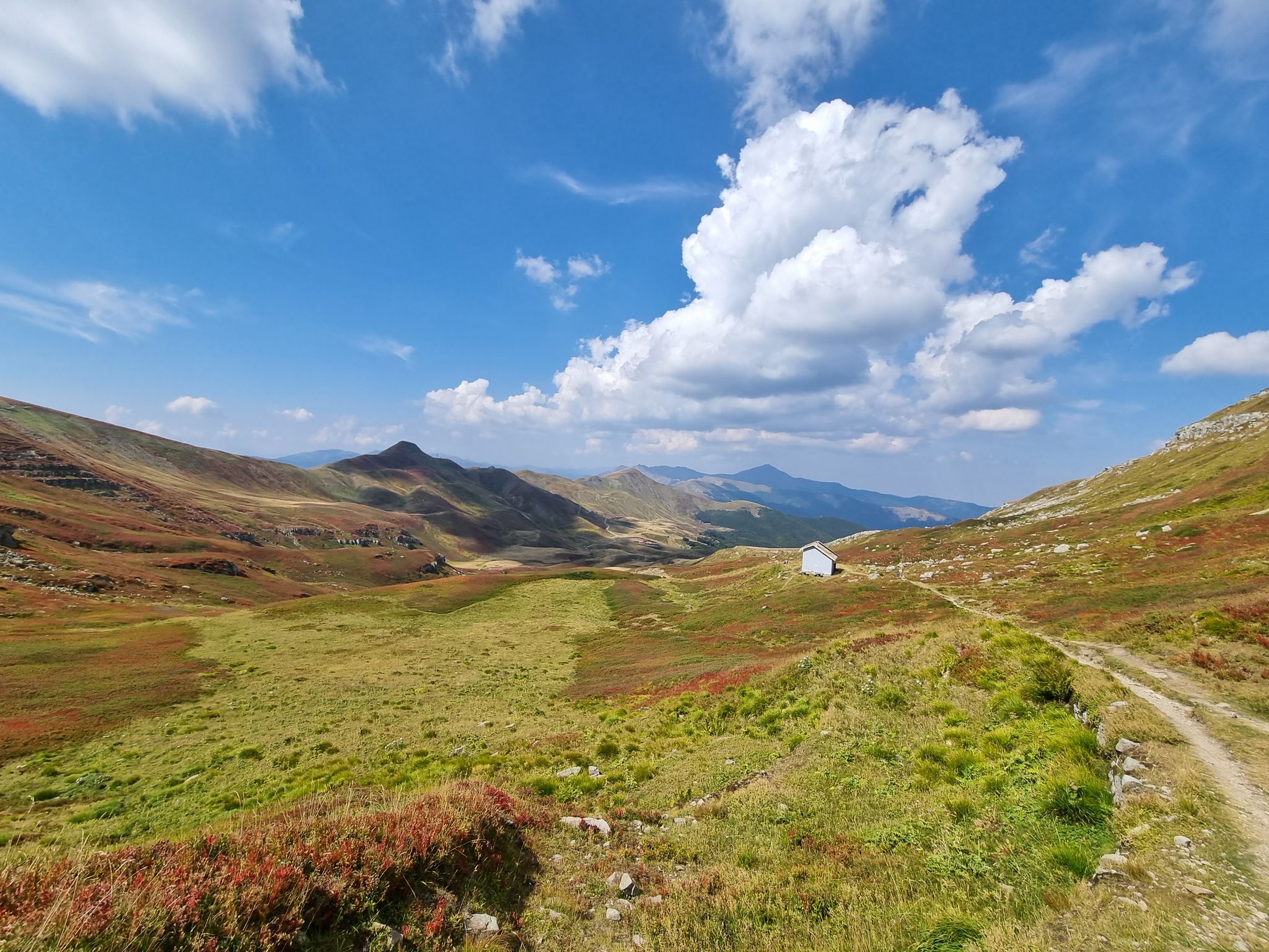
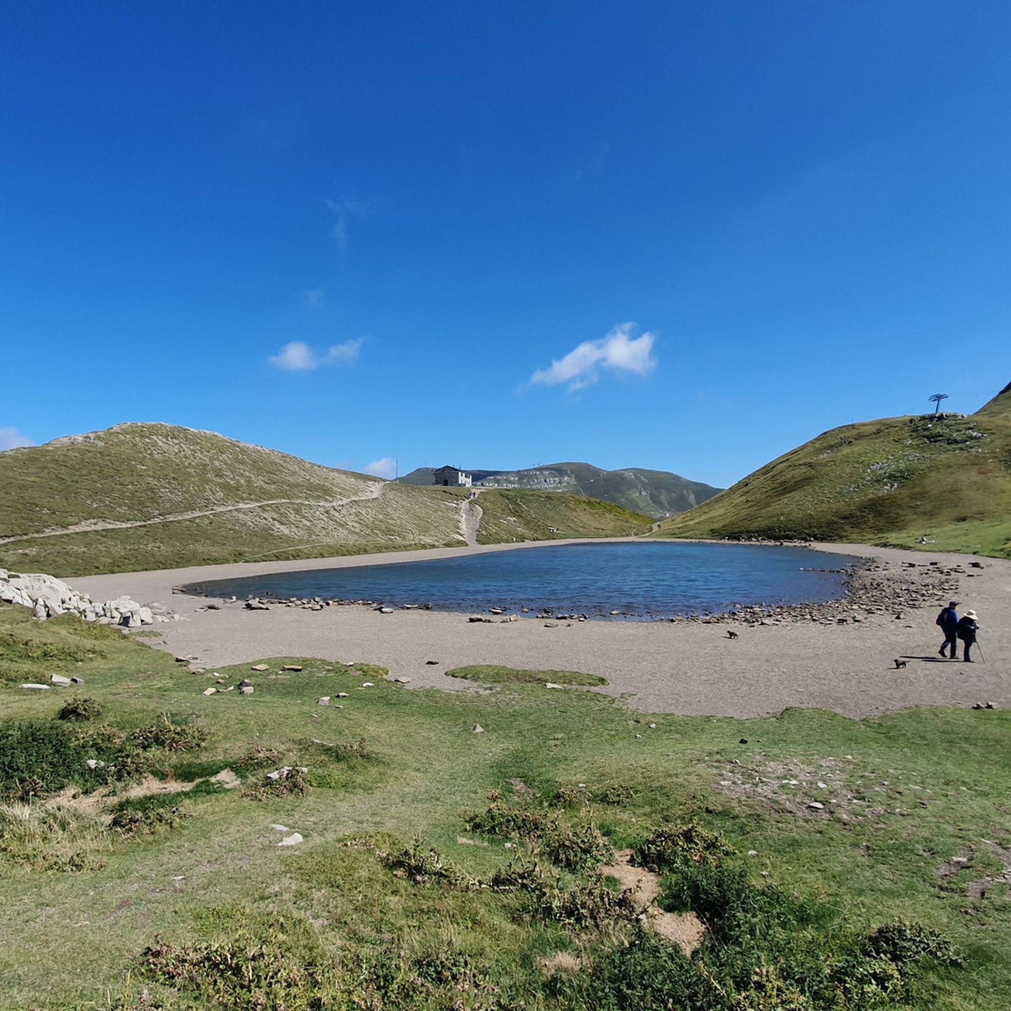

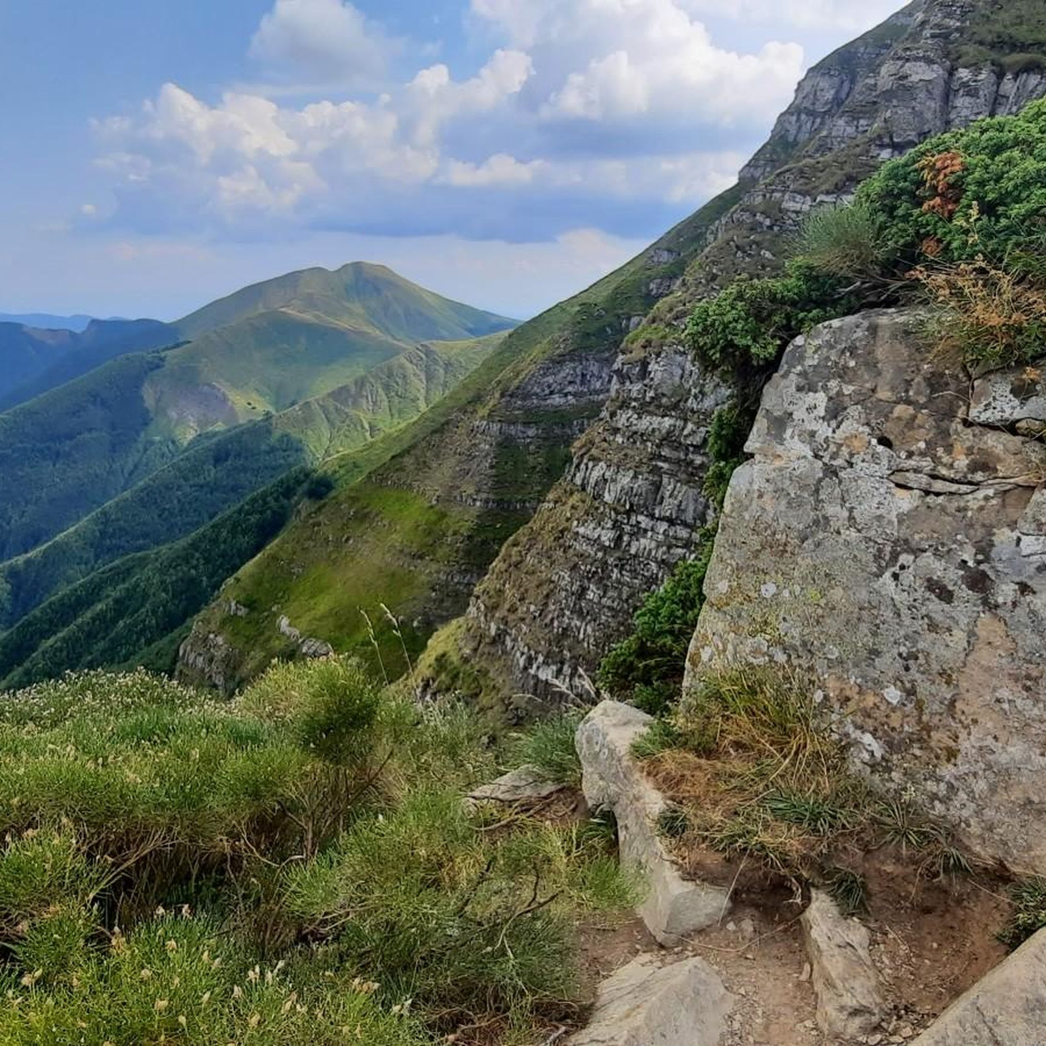
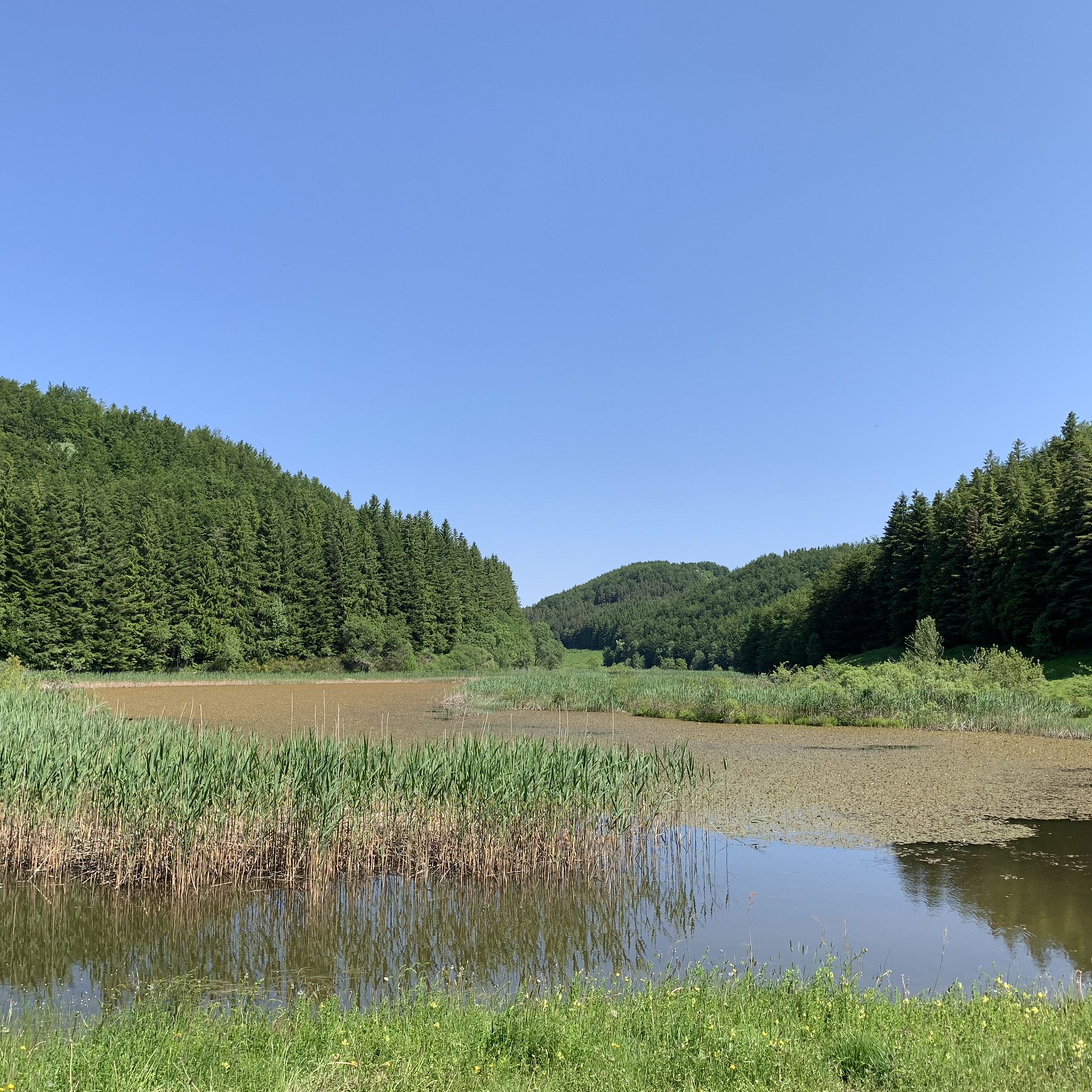

コルノアッレスケールでのの他の冒険

コミュニティからのヒント


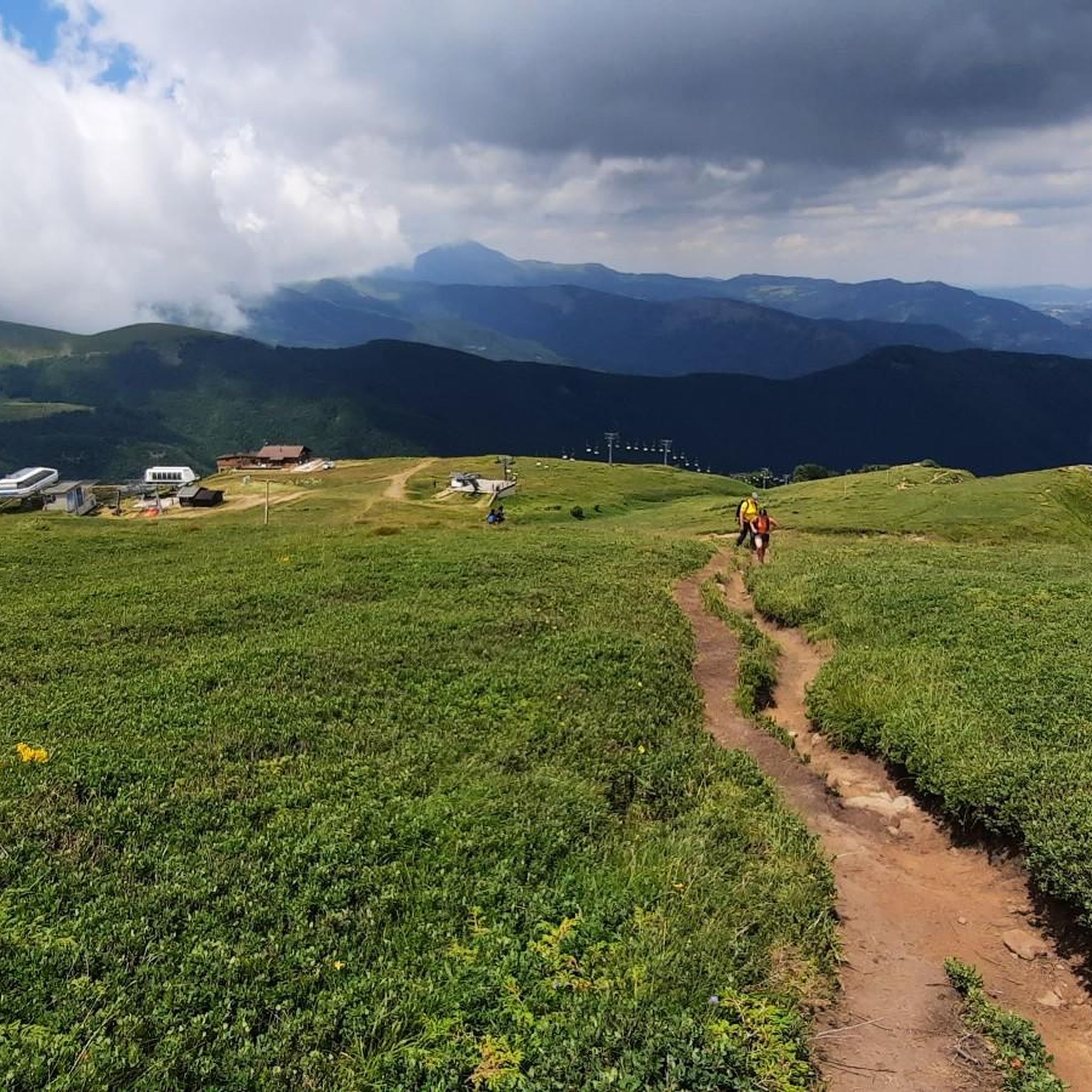
コルノ・アッレ・スカーレは、標高1945メートルに達するボローニャ・アペニン山脈で最も高い頂上です。リッツァーノ・イン・ベルベデーレの自治体内に完全に位置し、エミリア=ロマーニャ州とトスカーナ州の境界にあり、北壁の階段状の独特な形状からその名前が付けられました。この地域は、重要な冬のスキーリゾート、有名な夏のハイキングの目的地、そしてロードサイクリングの象徴として知られています。最近では、2026年ジロ・デ・イタリアの第9ステージの山頂フィニッシュ地点となり(優勝はヨナス・ヴィンゲゴー)、その舞台となりました。
1
0

ジロ・デ・イタリア2026。ゴールまで3km
1
0

In summer, the town is crossed by regional road 66, which, after 3 km in La Lima, intersects with the SS.12 towards Abetone, where many people head on weekends in search of cool air and the many marked trails on the ridge.
1
0
Madonna dell’Acero, a charming place surrounded by immense forests of beech and fir trees, located at an altitude of 1200 meters above sea level. The name of the place derives from an old print with the image of the Blessed Virgin dressed in Greek style, affixed to the trunk of a tree located in a clearing in the 14th century. Legend has it that two deaf-mute children, while they were busy guarding their flock at pasture, were caught in a storm and found refuge under an enormous maple tree. During the raging bad weather, the Madonna appeared and made them regain their hearing and speech. At home they reported that the Virgin wanted to be venerated in that place. The parish priest of Rocca Corneta, informed of the apparition, thought of transporting the image to the parish and celebrating the event in the presence of the Bishop. But on the day scheduled for the celebrations the sacred image had disappeared. The Madonna, the locals say, had returned to the Maple, leaving signs of herself on all the tree trunks along the road. It is also said that the marked trees could not be cut down: a man, who wanted to try to cut down one, located in his chestnut grove, was crushed under the branches of the tree. A small chapel thus arose around the Maple that enclosed the tree stripped of all its branches. The current suggestive sanctuary, built in a very simple style, like a group of small houses next to each other, dates back to the 16th and 17th centuries.
0
0

Great pass, recommended to climb
0
0

QUITE A TOUGH CLIMB DUE TO THE GRADIENTS WHICH REMAIN ABOVE 5%
0
0
Beautiful place, only saw this when I woke up in the morning Very nice cycling environment too
0
0
コルノアッレスケールでのの人気ルート
コルノアッレスケールでのの人気観光スポット

komootモバイルアプリでインスピレーションを得よう


さらに探索
他の地域の最高のロードサイクリングルートを見てみましょう。
