ホレサンド周辺のアトラクション&必見スポット - トップ4
ホレサンドには必見のスポットがたくさんあります。ハイキング愛好家やサイクリング愛好家の方は、ぜひホレサンドを探索してこのエリアにある4
の隠れたスポットを訪れてみてください。このエリアの必見スポットを確認し、次の冒険に出かける計画を立てましょう。
最終更新日: 8月 30, 2026
クーゲルベルク(東フリースラントで最も高い自然の丘)
ハイライト • 山頂
The Kugelberg is still the best-known (and at around 18 m one of the highest) hills in East Friesland. In the 1950s, when the Hollsand was still …
翻訳者 Google •
役立つ情報 は

ホレ・サンドにあるヘクセンタンスプラッツ砂丘
ハイライト • 自然記念物
翻訳者 Google •
役立つ情報 は

今すぐサインアップして、こんな場所を発見しよう
最高のシングルトラック、ピーク、その他のエキサイティングなアウトドアスポットのおすすめを受け取ろう。
無料新規登録
ホレ・ザントの魔女の小屋
ハイライト • 山小屋
翻訳者 Google •
役立つ情報 は

Waldhaus Hollsand
ハイライト • レストラン
翻訳者 Google •
役立つ情報 は

ホレザント自然保護区の縁を通る道
ハイライト • トレイル
翻訳者 Google •
役立つ情報 は
無料でサインアップして、さらに多くの観光スポットを発見しましょう ホレサンドでの。
無料新規登録
すでにアカウントをお持ちですか?
無料アカウントで今日から始めよう
次の冒険が待っています。
ログインまたは登録

コミュニティからのヒント


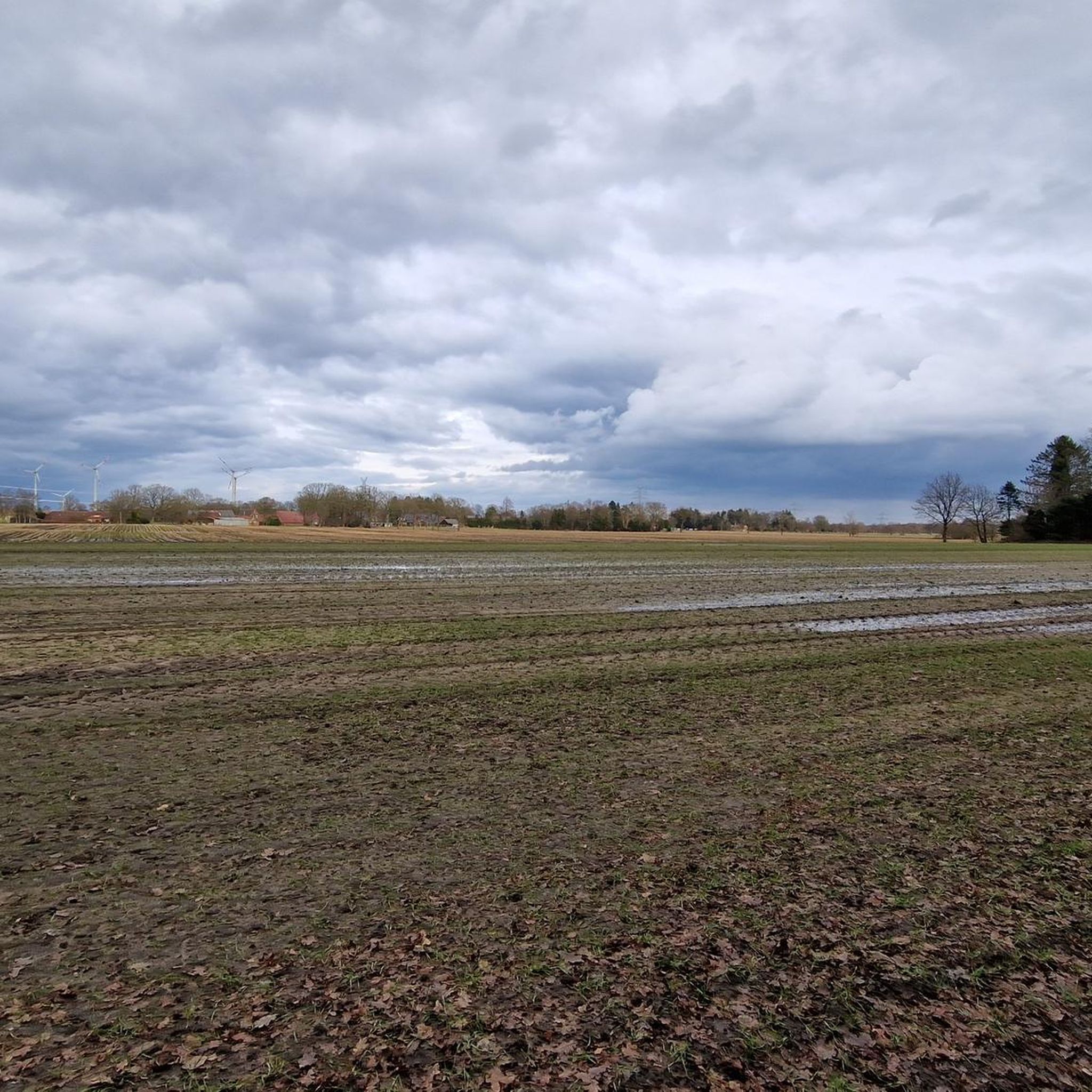
東フリースラントで海抜18メートル、これは標高記録簿に記入しておかなければなりません :-)
0
0

I just drove past the Waldhaus Hollsand; it was still closed.
1
0


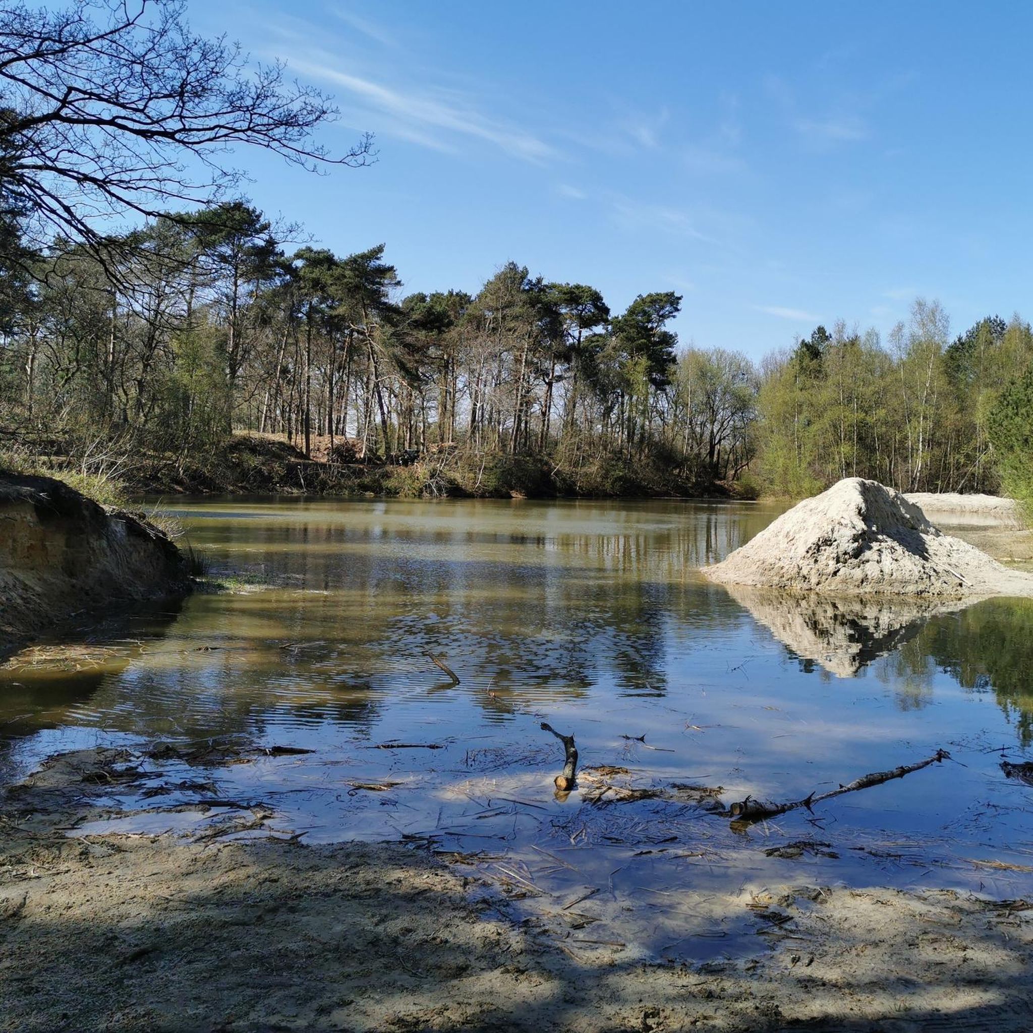
The Witches' Dance Floor - a dune in the Hollesand, which owes its name to a teacher from Großoldendorf, who always told his students the legend of the Witches' Dance Floor and the Rosstrappe in the Harz Mountains at this spot.
0
0

Hollesand forest and heathland In this forest and heathland area, the highest natural elevation in East Frisia rises at 18.6 m. The 125-hectare "Hollesand" nature reserve is a wooded dune area with hiking trails, located on the Oldenburg-East Frisian Geest plateau between Neudorf, Großoldendorf and Neufirrel. However, the original size extends far beyond the nature reserve. In this dune-like, beautifully situated forest and heathland area, the highest natural elevation in East Frisia rises at 18.6 m: the Kugelberg. From here you can look over Neufirrel to Wiemoor. This nature reserve is ideal for walking, and the many information boards always give you good orientation, and benches spread across the entire area invite you to linger.
3
1

Beautiful tour, very natural and more than enough benches to relax
1
0
A small mountain, nice to look at
1
1

komootモバイルアプリでインスピレーションを得よう


さらに探索
まだ探しているハイライトが見つかりませんか?他の地域のトップアトラクションのガイドを見てみましょう:
