オーバーシェーネックのおすすめツーリングルート
4.5
(1301)
6,981
ライダー
393
ライド
オーバーシェーネッグ周辺のサイクリングルートは、ドイツ、バイエルン州、ウンターアルゴイ地区の丘陵地帯と森林地帯に位置しています。この地域には、絵のように美しいハーゼタール渓谷やギュンツタール渓谷、氷河によって形成されたイーラート渓谷など、多様な景観があります。サイクリストは、挑戦的でありながらやりがいのある眺めを提供する起伏のあるルートを楽しむことができます。晴れた日には、トレイルの様々な高台からアルプスの景色を眺めることができます。
オーバーシェーネッグ周辺の最高のサイクリングルート
- 最も人気のあるサイクリングルートは、ヴェスターハイム近郊のレールトレイル – バーベンハウゼンからのオットーボイレンの眺めループで、34.4マイル(55.4 km)のトレイルで、所要時間は3時間14分です。この適度な難易度のルートは、古いレールトレイルに沿っており、オットーボイレン方面への景色の良い眺めを提供します。
- 地元のサイクリストに人気のもう一つのルートは、旧鉄道跡 – オーバーシェーネッグからのイーラー・ロート・ギュンツ鉄道サイクリングパスループで、適度な難易度の29.0マイル(46.8 km)のパスです。このルートは、かつての鉄道跡を利用しており、地域の自然環境を巡るスムーズで景色の良いライドを提供します。
- 地元のサイクリストは、バーベンハウゼン市庁舎 – バーベンハウゼンからのギュンツ川沿いトレイルループも気に入っています。この22.7マイル(36.5 km)のトレイルは、変化に富んだ景観を通り抜け、所要時間は約2時間24分です。
- オーバーシェーネッグ周辺のサイクリングは、丘陵地帯と森林地帯、風光明媚なハーゼタール渓谷とギュンツタール渓谷、そして遠くに見えるアルプスの景色が特徴です。このネットワークは、農道の簡単なライドからより挑戦的なルートまで、さまざまなレベルのスキルに対応するオプションを提供しています。
- オーバーシェーネッグのルートは、900件以上のレビューで平均4.5つ星を獲得しており、komootコミュニティから高く評価されています。5,000人以上のサイクリストがkomootを利用して、オーバーシェーネッグの多様な地形を探索しています。
最終更新日: 10月 13, 2026
4.7
(25)
101
ライダー
55.6km
03:15
190m
190m
中程度の自転車ライド. ある程度のフィットネスレベルが必要です。 全般的に舗装された状態です。あらゆるスキルレベルに適しています。
4.4
(18)
68
ライダー
47.7km
02:59
260m
260m
中程度の自転車ライド. ある程度のフィットネスレベルが必要です。 全般的に舗装された状態です。あらゆるスキルレベルに適しています。

4.8
(4)
28
ライダー
19.4km
01:09
110m
110m
初級者向けバイクライド. あらゆるフィットネスレベルに適しています。 全般的に舗装された状態です。あらゆるスキルレベルに適しています。
4.3
(3)
13
ライダー
62.5km
03:39
270m
270m
中程度の自転車ライド. ある程度のフィットネスレベルが必要です。 全般的に舗装された状態です。あらゆるスキルレベルに適しています。
4.0
(2)
19
ライダー
13.4km
00:48
90m
90m
初級者向けバイクライド. あらゆるフィットネスレベルに適しています。 全般的に舗装された状態です。あらゆるスキルレベルに適しています。
さらに多くのルートや他のユーザーのおすすめ情報を確認できます。
すでにアカウントをお持ちですか?
おすすめのツアーは他のkomootユーザーが実際に経験した何千ものアクティビティに基づいています。
無料アカウントで今日から始めよう
次の冒険が待っています。

コミュニティからのヒント

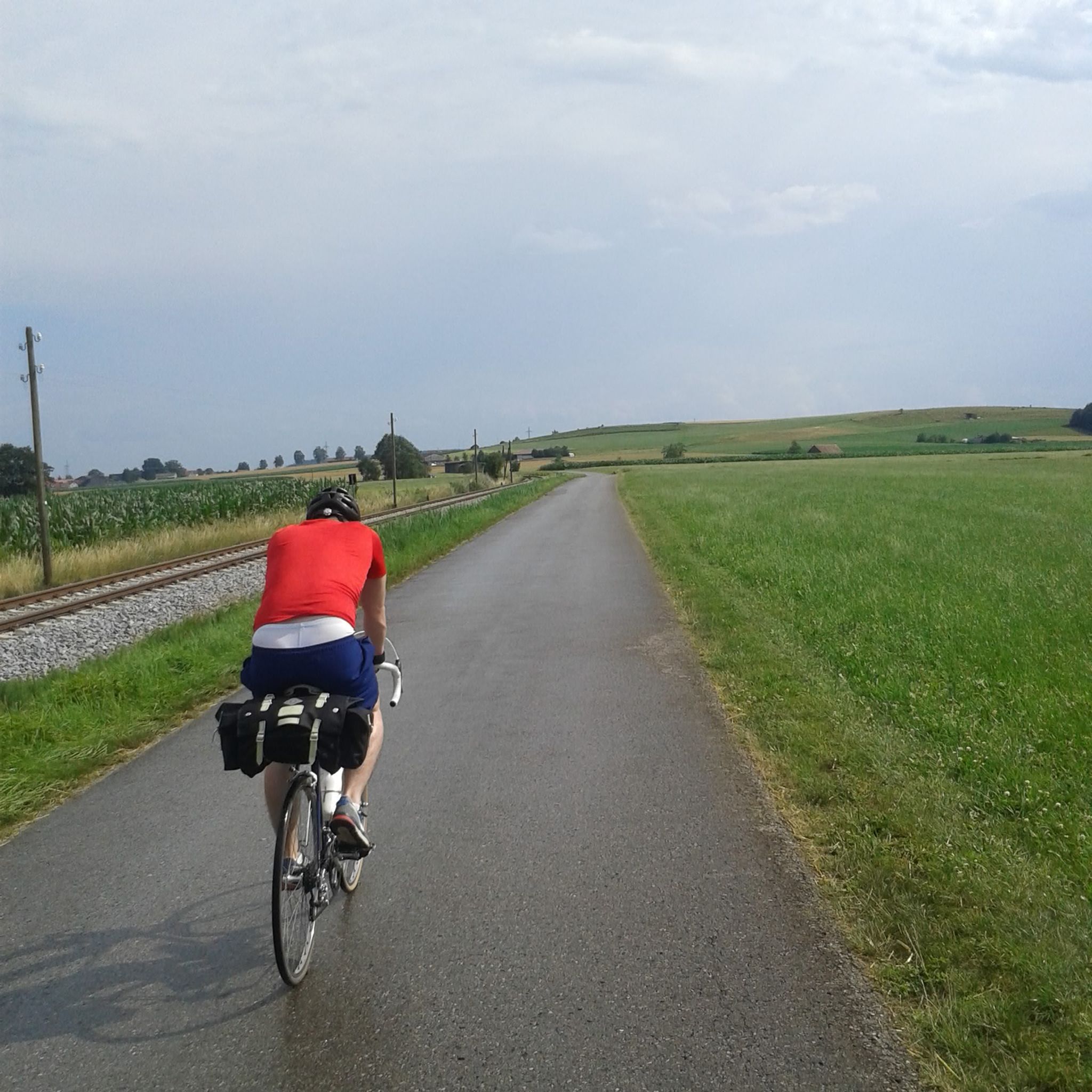
「線路」は見当たりませんでした、悪口を言ってごめんなさい。でも、ルートは最高です。
0
0

Babenhausen hat Geschichte mit der Familie Fugger!
0
0

The tour is designed so that you consciously experience the landscape and character of the region – not just rack up kilometers. This Komoot tour is worthwhile because it provides you with a well-thought-out route where real highlights serve as landmarks and experiences – offering more than just training.
0
0

The first evidence of settlement dates back to the Stone Age, as demonstrated by finds along the Iller River near Ferthofen. Records only reappear in the 4th century, as the Augsburg library was destroyed several times, resulting in the loss of documents. Mammingin was first mentioned in 1128. The city walls, towers, and gates were last expanded in 1445.
0
0

The railway line used to be Kelmünz - Babenhausen
0
0

The hiking and cycling path runs in a straight line alongside the Iller River. The path is gravelled and grassy in the middle. Alongside the cycle path, you can see the floodplain forest. Between the Iller River and the cycle path, there is a grassy strip about 3 meters wide. Wildlife can probably be spotted here frequently, as there is a hunting lodge in between. At least the fish were also taken into consideration at the weir. A fish ladder is located along the edge.
0
0

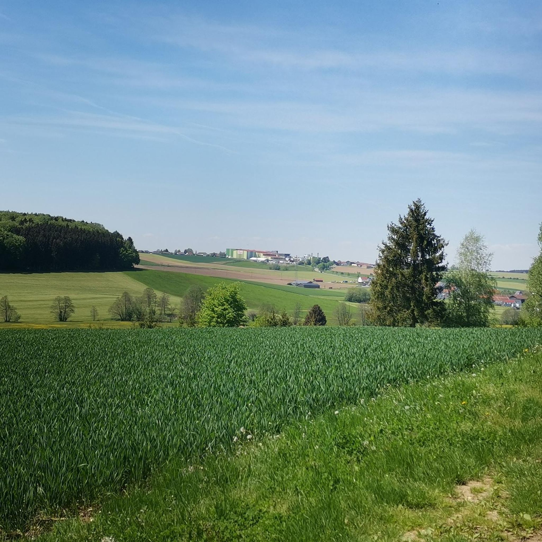
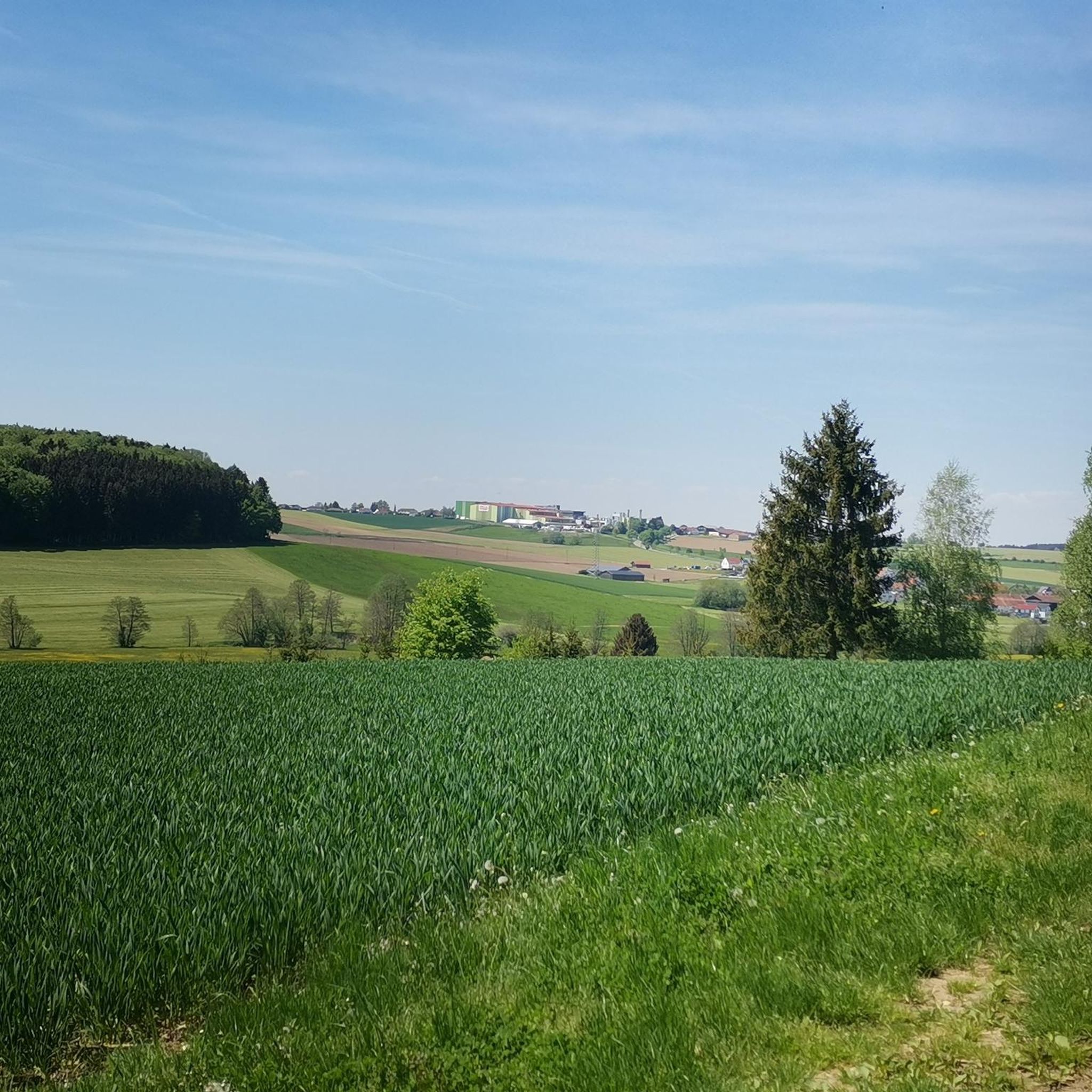
Very beautiful view and also a worthwhile photo opportunity.
0
0
オーバーシェーネックでのの人気観光スポット

komootモバイルアプリでインスピレーションを得よう


さらに探索
他の地域の最高のサイクリングルートを見てみましょう。
