ニューブランズウィックのおすすめライド
4.6
(13)
495
ライダー
68
ライド
このガイドでご紹介するのは、komootがニューブランズウィックでのロードバイクルートのコレクション全体を評価して選び抜いた、このエリアの人気バイクライドです。あなたに合ったものを見つけるには、以下のルートをクリックして標高データや舗装状態の分析などの細かな情報を把握し、さらにkomootコミュニティのメンバーが投稿した役立つ情報や写真も閲覧しましょう。
最終更新日: 10月 15, 2026
21
ライダー
131km
06:14
430m
430m
難しいロードライド. 標準以上のフィットネスレベルが必要です。 ツアーの一部に、未舗装のため走行が難しい箇所があるかもしれません。
15
ライダー
76.8km
03:41
890m
890m
中程度のロードライド. ある程度のフィットネスレベルが必要です。 全般的に舗装状態が良好で走行しやすい道です。

19
ライダー
39.2km
01:48
350m
350m
中程度のロードライド. ある程度のフィットネスレベルが必要です。 全般的に舗装状態が良好で走行しやすい道です。
21
ライダー
37.1km
01:38
300m
300m
初級者向けロードバイクライド. あらゆるフィットネスレベルに適しています。 全般的に舗装状態が良好で走行しやすい道です。
4.0
(2)
19
ライダー
53.4km
02:35
240m
240m
中程度のロードライド. ある程度のフィットネスレベルが必要です。 全般的に舗装状態が良好で走行しやすい道です。
13
ライダー
70.2km
03:41
610m
610m
中程度のロードライド. ある程度のフィットネスレベルが必要です。 ツアーの一部に、未舗装のため走行が難しい箇所があるかもしれません。
13
ライダー
73.6km
03:22
280m
280m
中程度のロードライド. ある程度のフィットネスレベルが必要です。 ツアーの一部に、未舗装のため走行が難しい箇所があるかもしれません。
14
ライダー
116km
06:02
930m
930m
難しいロードライド. 標準以上のフィットネスレベルが必要です。 全般的に舗装状態が良好で走行しやすい道です。
12
ライダー
60.4km
02:48
610m
610m
中程度のロードライド. ある程度のフィットネスレベルが必要です。 全般的に舗装状態が良好で走行しやすい道です。
15
ライダー
34.9km
01:43
200m
200m
中程度のロードライド. あらゆるフィットネスレベルに適しています。 ツアーの一部に、未舗装のため走行が難しい箇所があるかもしれません。
さらに多くのルートや他のユーザーのおすすめ情報を確認できます。
すでにアカウントをお持ちですか?
おすすめのツアーは他のkomootユーザーが実際に経験した何千ものアクティビティに基づいています。

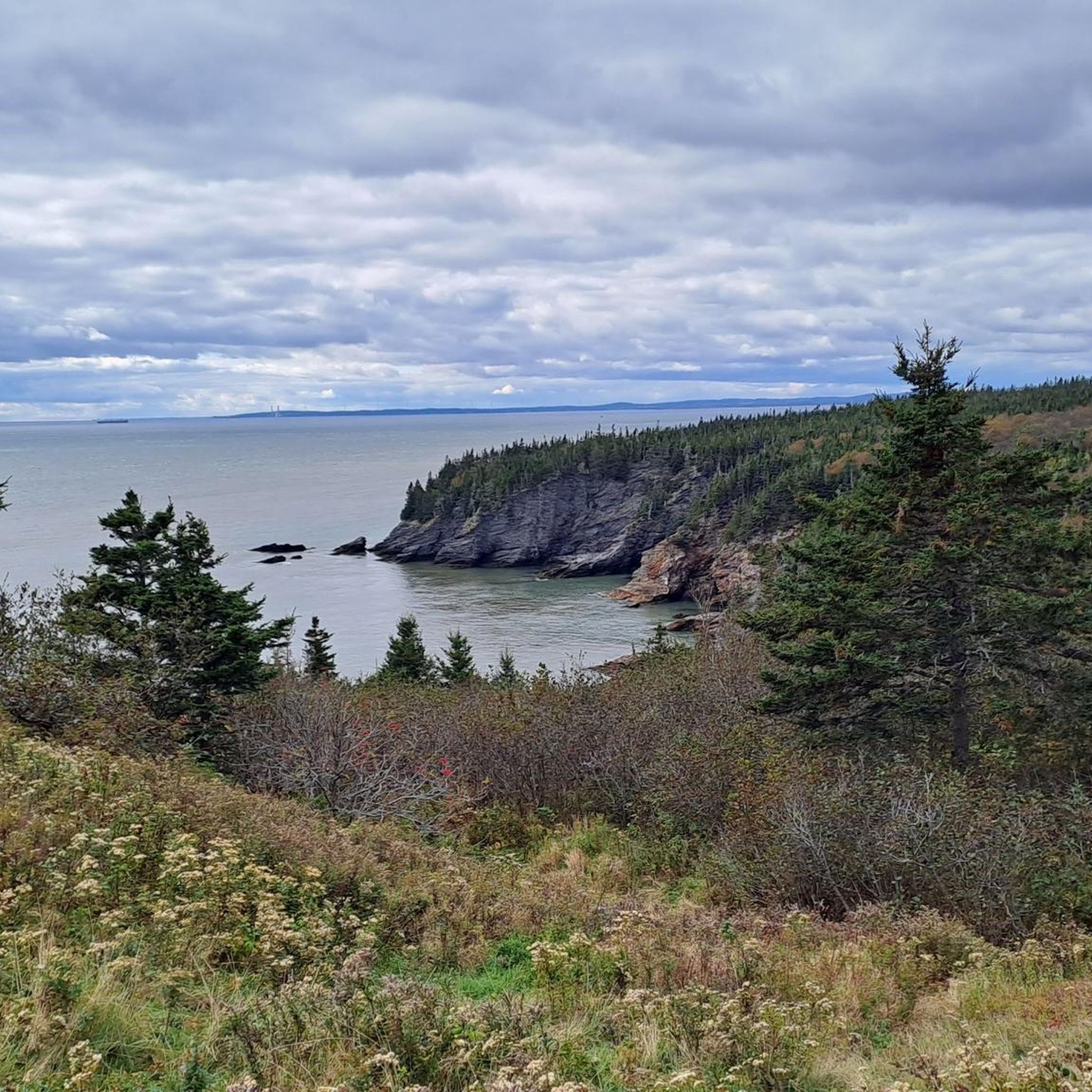

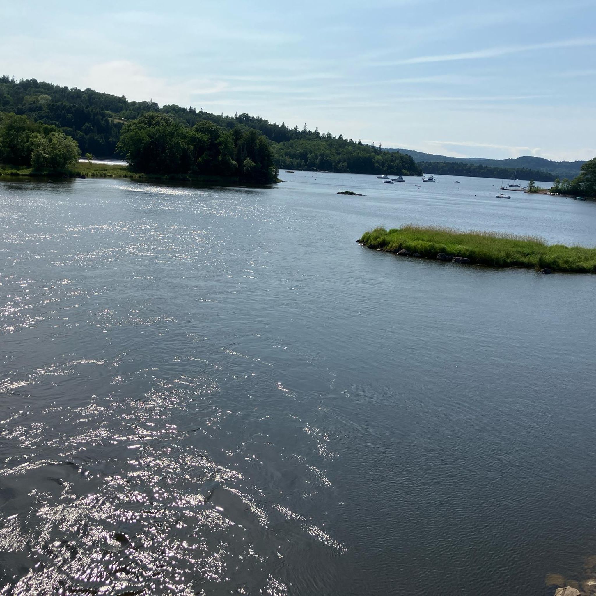
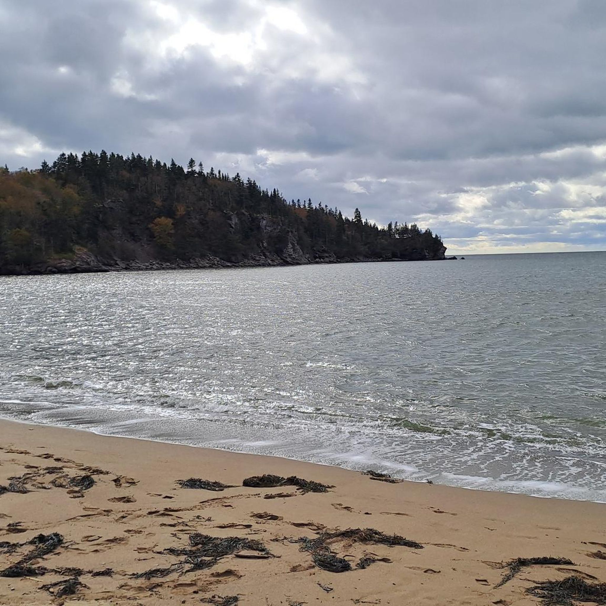

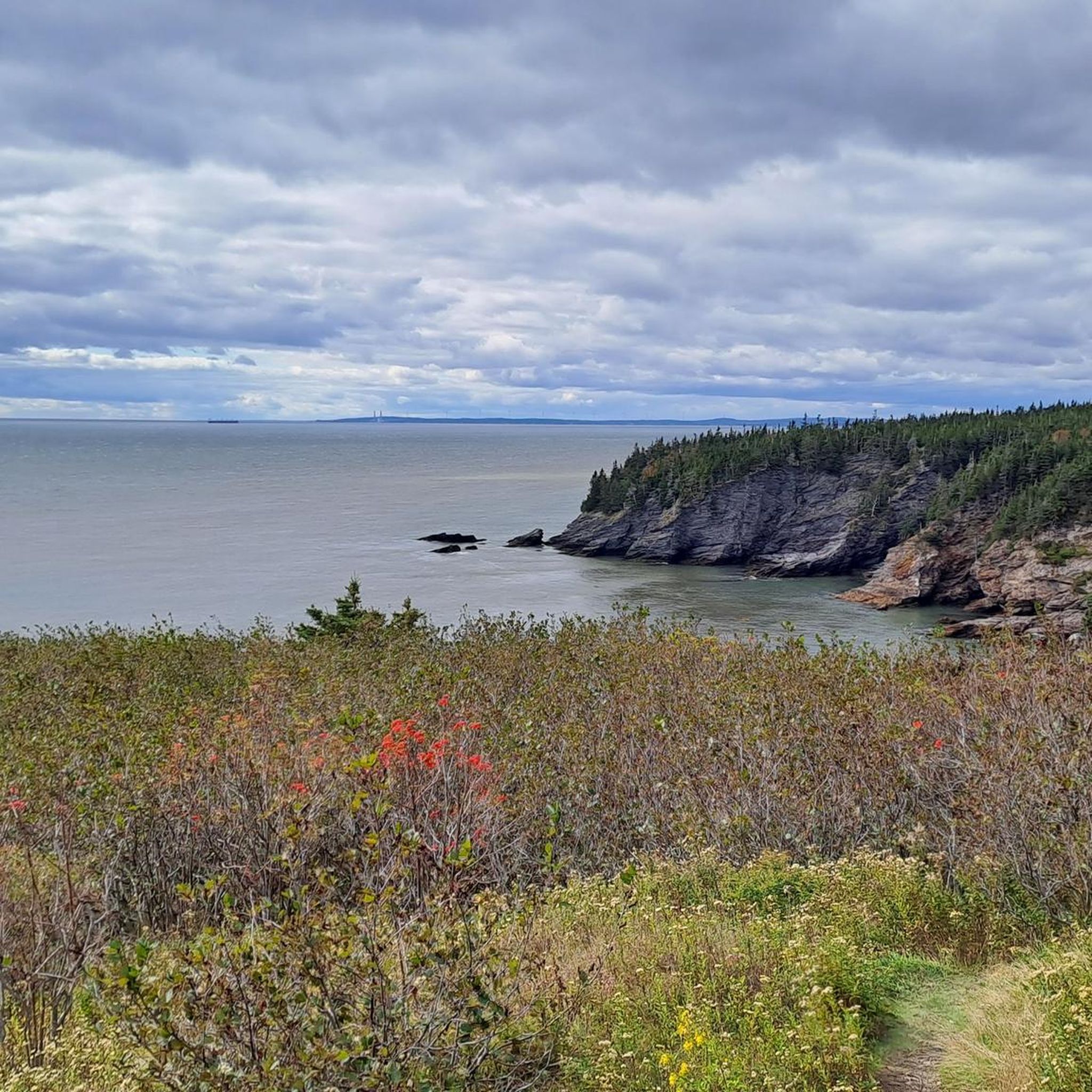

ニューブランズウィックでのの他の冒険


コミュニティからのヒント

フレデリクトン鉄道橋はかつて鉄道橋でしたが、今日では歩行者やサイクリストがセントジョン川を渡るためにのみ使用されています。2008年に、フレデリクトン・トレイル・システムの創設者の一人にちなんでビル・ソープ・ウォーキング・ブリッジと改名され、毎年約60万人のバイカーやハイカーが利用しています。
0
0
Where Maple Avenue and Stewart Avenue meet, sits the humble trailhead of the Sussex Nature Walkway. There is no official parking area, but it's close to downtown, so there's plenty of street parking and nearby lots. The city has installed a sign at the trailhead with a map of the trail so that you won't miss it.
0
0

A long, mostly level multi-use route that traces the quiet corridor of the Nashwaak River on Fredericton’s north side. The compacted-gravel surface makes it easy to walk, run, or cycle, and the trail moves between shaded woodland, open stretches, and short riverside clearings. Views of the Nashwaak appear steadily along the way, especially near bridge crossings and wider bends in the river. The trail takes its name from the Nashwaak River itself, derived from the Wolastoqey (Maliseet) word Nekawäk—often interpreted as “slow current” or “still water,” a fitting description of the calm, steady flow that defines this part of the valley.
0
0
A riverfront green space along the Saint John River, offering open views across the water toward downtown Fredericton. The park features a wide, level pathway suitable for walking, running, and cycling, with plenty of lawn area and benches along the shoreline.
0
0
A small lakeside lookout offering a clear view across McKeever Lake from the forested edge. The approach is mostly level, following short local paths that open onto a gap in the trees with an unobstructed line of sight over the water. The lake is bordered by red maple, white birch, and pockets of spruce, and the reflection of the tree line is especially noticeable on calm days. It’s a simple, quiet waypoint that works well as a turnaround spot or mid-route pause for walkers and runners exploring the nearby neighbourhood trails.
0
0

The Saunders Brook Trail is an 8-kilometer, well-maintained path featuring a crushed rock surface. The trail follows the course of Saunders Creek and offers several convenient benches for resting along the way.
0
0
Hillside Trailhead is only a gate, a sign, and a gravel pullout. Parking is not allowed here, but there is a dirt lot three meters south on Grove Avenue.
0
0
ニューブランズウィックでのの人気観光スポット

komootモバイルアプリでインスピレーションを得よう


探していたものは見つかりませんでしたか?
ニューブランズウィックの下にある他のロードサイクリングルートをチェックして、目的地で完璧なルートを見つけましょう。
さらに探索
他の地域の最高のロードサイクリングルートを見てみましょう。
