ホルスタインのノイシュタットのおすすめツーリングルート
4.5
(3464)
17,126
ライダー
119
ライド
ホルスタインのノイシュタットでおすすめのサイクリングルートをお探しですか?行きたいルートを簡単に決められるように、このページではホルスタインのノイシュタット周辺の人気バイクライドをご紹介します。 ぜひ、お気に入りのルートを見つけてください。
最終更新日: 10月 14, 2026
4.4
(466)
2,136
ライダー
37.8km
02:28
190m
190m
中程度の自転車ライド. ある程度のフィットネスレベルが必要です。 全般的に舗装された状態です。あらゆるスキルレベルに適しています。
4.7
(286)
1,263
ライダー
75.6km
04:46
320m
320m
中程度の自転車ライド. ある程度のフィットネスレベルが必要です。 全般的に舗装された状態です。あらゆるスキルレベルに適しています。

4.6
(154)
1,013
ライダー
17.1km
01:10
60m
60m
初級者向けバイクライド. あらゆるフィットネスレベルに適しています。 全般的に舗装された状態です。あらゆるスキルレベルに適しています。
4.5
(873)
4,324
ライダー
32.3km
01:58
140m
140m
初級者向けバイクライド. あらゆるフィットネスレベルに適しています。 全般的に舗装された状態です。あらゆるスキルレベルに適しています。
4.6
(113)
737
ライダー
20.9km
01:22
90m
90m
初級者向けバイクライド. あらゆるフィットネスレベルに適しています。 全般的に舗装された状態です。あらゆるスキルレベルに適しています。
さらに多くのルートや他のユーザーのおすすめ情報を確認できます。
すでにアカウントをお持ちですか?
おすすめのツアーは他のkomootユーザーが実際に経験した何千ものアクティビティに基づいています。




コミュニティからのヒント


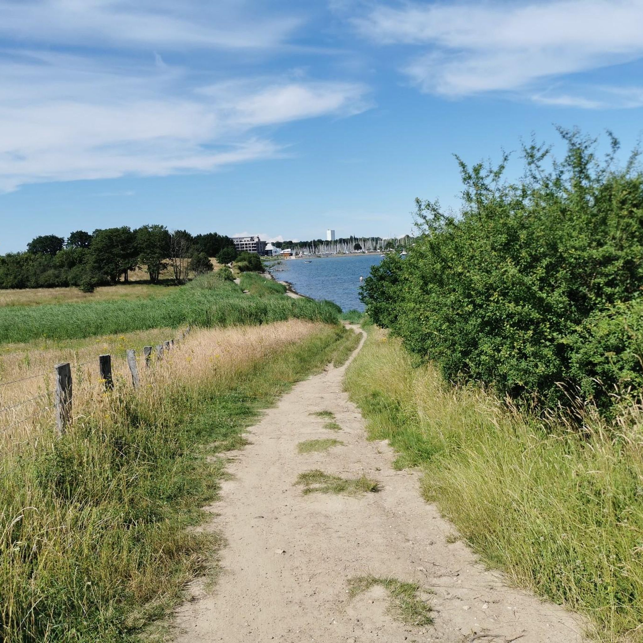
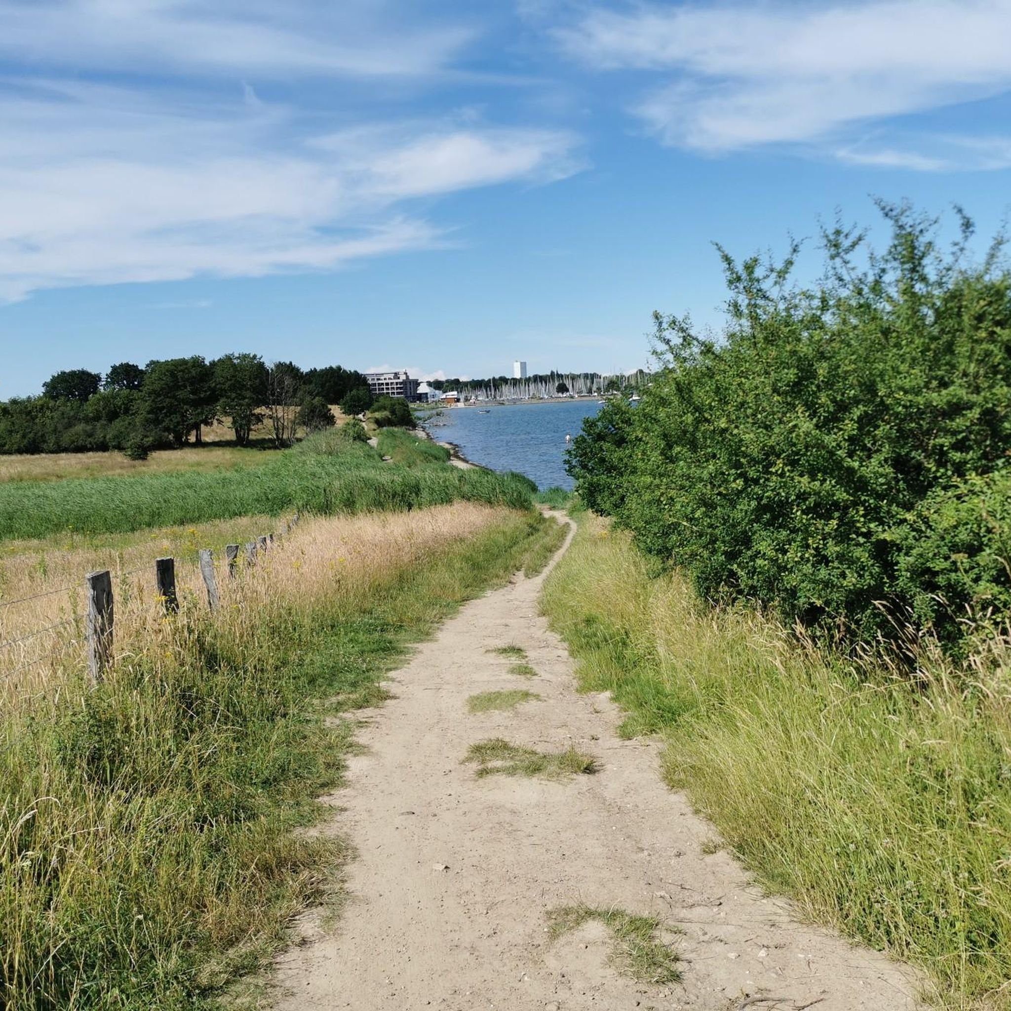
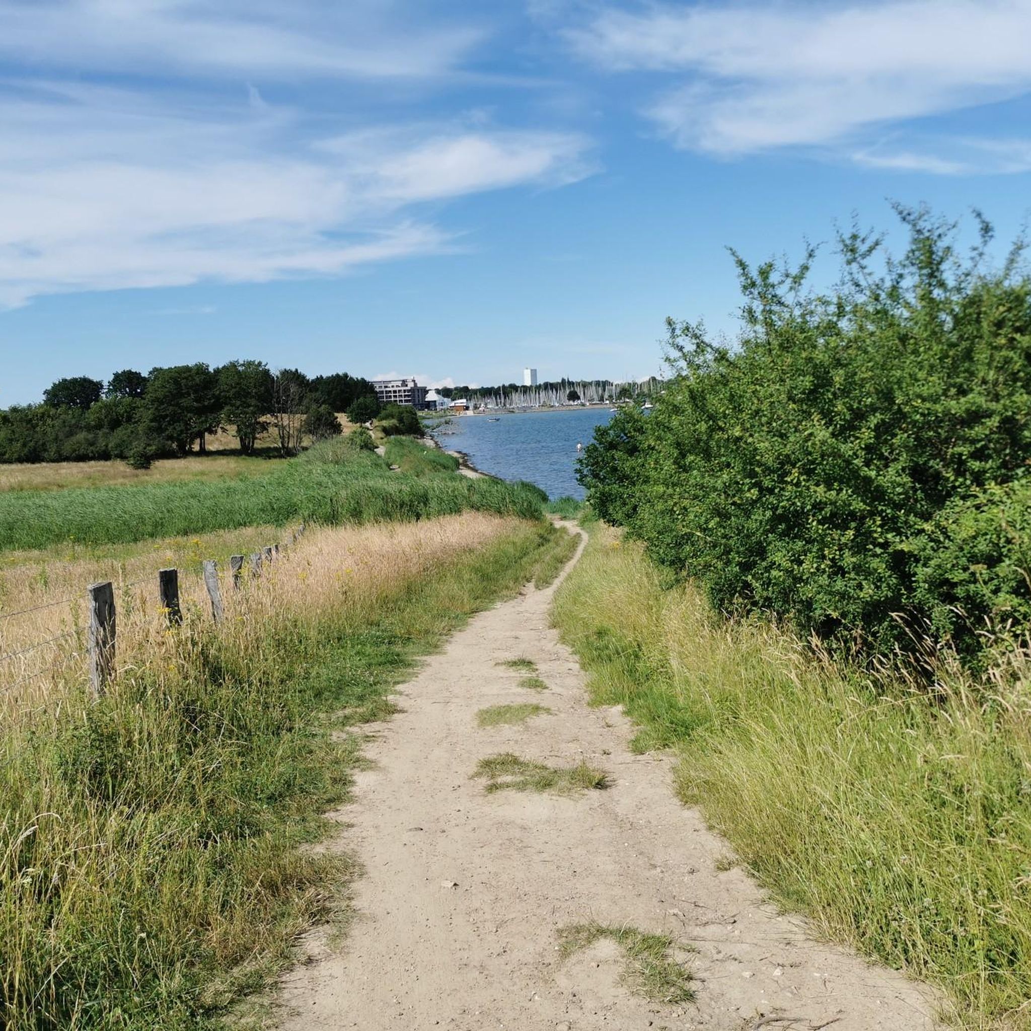
After the political changes of 1989/90, the intelligence work was discontinued. Naval Communications Sector 73 was dissolved in 1992 and the tower was vacated. In 1997, it became the property of the town of Neustadt in Holstein and has been empty ever since.[1] Meanwhile, an association, "Horchturm Pelzerhaken e.V." (Pelzerhaken Listening Tower Association), was founded but later dissolved. Commercial use by a local hotelier was also discussed. The municipality, under Mayor Mirko Spieckermann, points to the FFH area (a protected habitat area) surrounding the tower in discussions about its future use.[3][4] The tower remains empty (as of 2025).
1
0
The 16-story tower housed offices, storage rooms, and workshops. The direction-finding and reconnaissance antennas, as well as the receivers, were located out of sight on floors 12 to 16. At times, up to 300 soldiers and civilian employees of the Ministry of Defence worked at the site, operating around the clock in three shifts.[2]
1
0
The reinforced concrete tower was built in the mid-1960s on the Rettin meadows in Pelzerhaken. The telecommunications tower was part of a military espionage system (so-called "radio reconnaissance") designed to intercept radio communications in East Germany and Czechoslovakia along the eastern border of West Germany. It was also intended to capture other electronic signals. The tower's function was kept secret. A total of six identical towers existed; however, the other five were operated by the Luftwaffe.[1]
1
0
The telecommunications sector tower M, operated by the German Federal Navy since the early 1970s directly on the former border with the GDR, served for electronic radio reconnaissance.
1
0
Until 1992, the site housed Naval Communications Station 711 of Naval Communications Sector 73 of Naval Communications Staff 70. The 83-meter-high tower is no longer used for military purposes. The municipality uses the site for storage; microwave radio relay systems are mounted on the tower.
1
0
ホルスタインのノイシュタットでのの人気ルート
ホルスタインのノイシュタットでのの人気観光スポット

komootモバイルアプリでインスピレーションを得よう


さらに探索
他の地域の最高のサイクリングルートを見てみましょう。
