トーテン湖周辺のアトラクション&必見スポット - トップ13
トーテン湖には必見のスポットがたくさんあります。ハイキング愛好家やサイクリング愛好家の方は、ぜひトーテン湖を探索してこのエリアにある13
の隠れたスポットを訪れてみてください。このエリアの必見スポットを確認し、次の冒険に出かける計画を立てましょう。
最終更新日: 10月 23, 2026
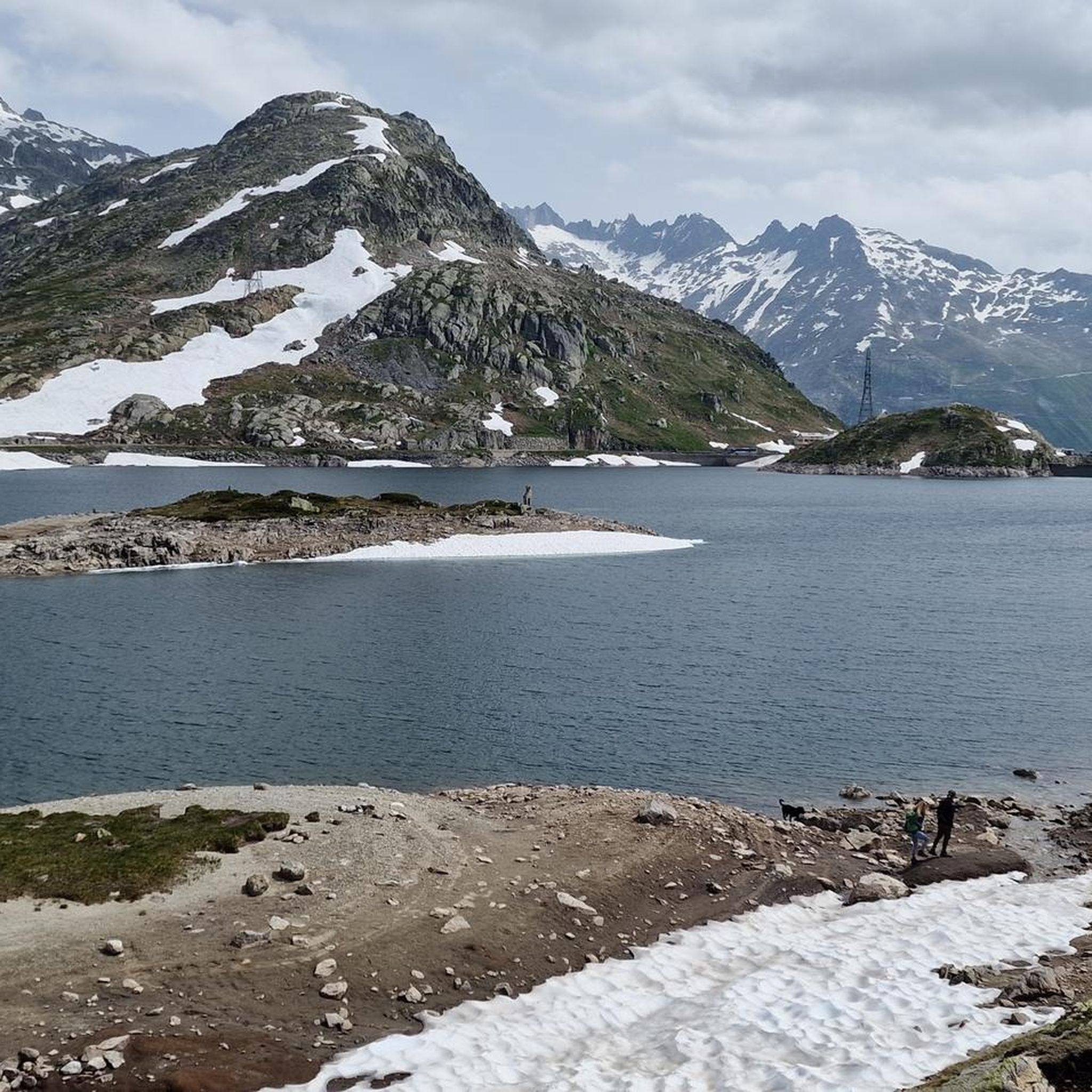
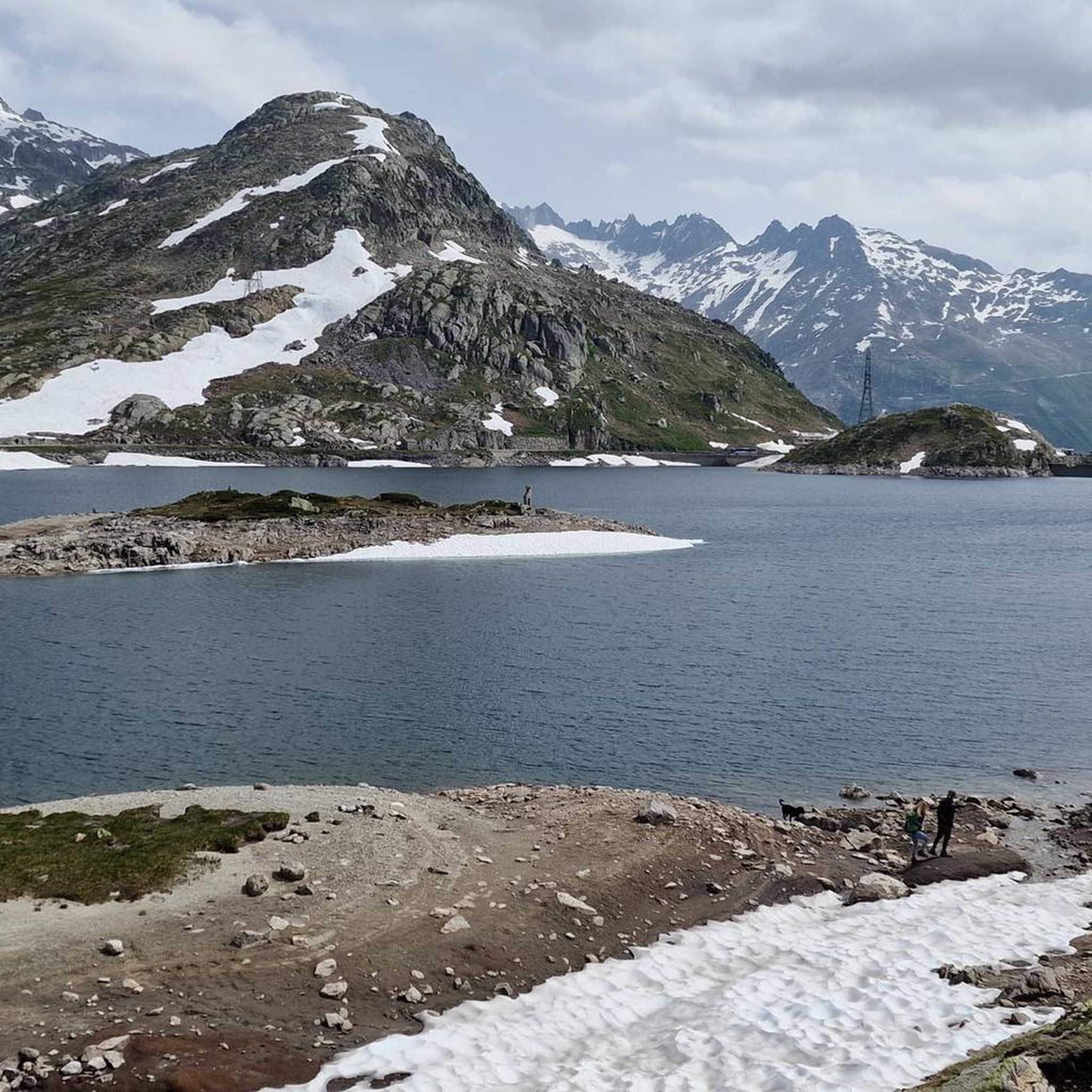
グリムゼル峠とトーテンゼー
ハイライト • 山道
翻訳者 Google •
役立つ情報 は

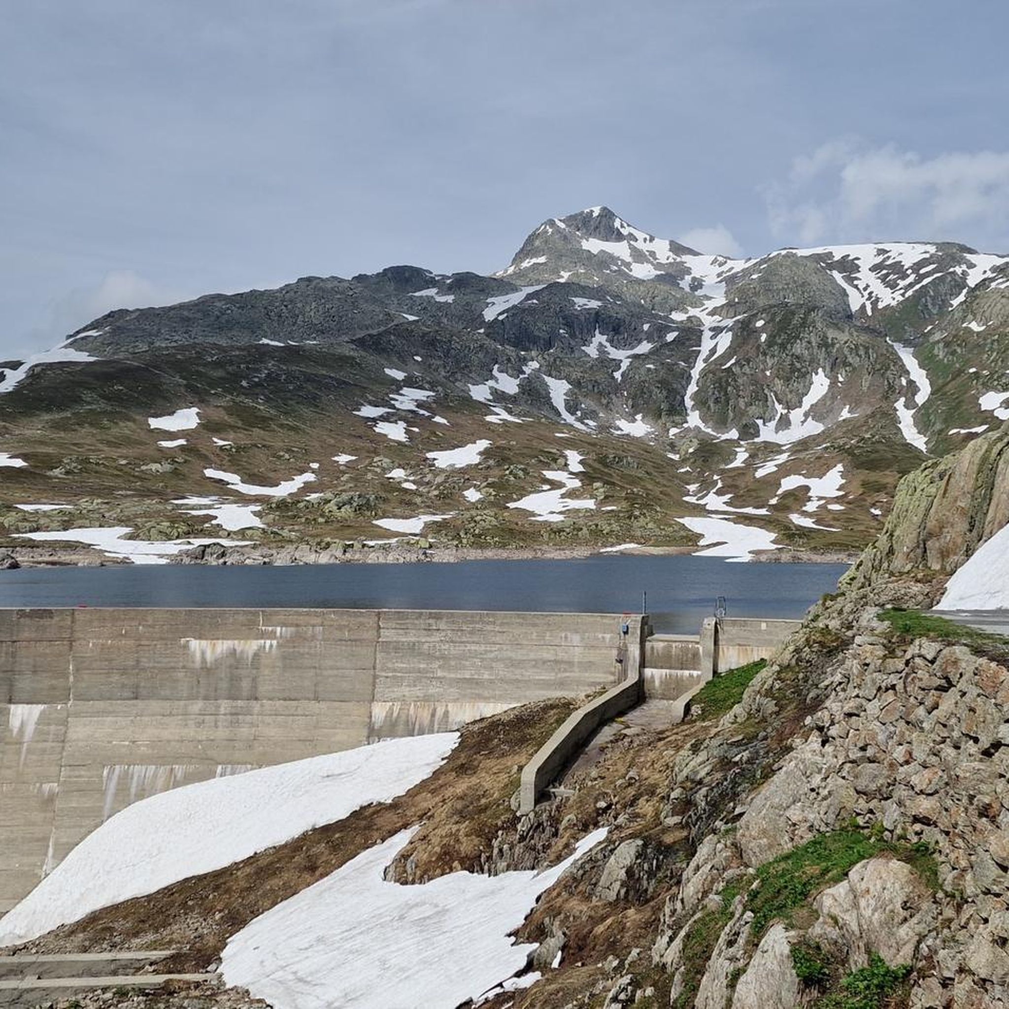
グリムゼル峠
ハイライト • 山道
翻訳を表示中
役立つ情報 は

今すぐサインアップして、こんな場所を発見しよう
最高のシングルトラック、ピーク、その他のエキサイティングなアウトドアスポットのおすすめを受け取ろう。
グリムセル峠の大陸分水嶺記念碑
ハイライト • 記念碑
The Grimsel Pass is in the heart of the Alps, an exceptional natural area. From a hydrological point of view, the large amounts of precipitation …
翻訳者 Google •
役立つ情報 は

グリムゼル峠からオーバーアールへのパノラマ道路
ハイライト (セグメント) • 山道
翻訳者 Google •
役立つ情報 は

グリムゼル峠道 – 最終区間
ハイライト (セグメント) • 山道
翻訳者 Google •
役立つ情報 は

無料でサインアップして、さらに多くの観光スポットを発見しましょう トーテン湖での。
すでにアカウントをお持ちですか?



コミュニティからのヒント

From the Grimsel Pass, a single-lane road leads high above the Grimsel Reservoir to Lake Oberaar, which is also a reservoir. The view of the Alps is, in my opinion, one of the most beautiful in all of Switzerland. Please note that the road is only accessible to motorized traffic in one direction. A traffic light system at the Grimsel Pass and Lake Oberaar regulates the direction of travel. However, this is less relevant for cyclists; the road is wide enough everywhere to allow safe passage.
3
0

Speaking of the Grimsel Pass: The Grimsel Pass is in the heart of the Alps, an exceptional natural area. From a hydrological point of view, the large amounts of precipitation are unique. Here at the Grimsel Pass, this is an average of around 2300 litres per square metre per year. 300 litres of this evaporate per square metre, and 2000 litres per square metre leave the region as runoff in the Rhone or Aare. That is a lot of water: twice as much as the Swiss average and almost seven times as much as the average in Germany. Depending on which side of the pass the water drops reach the earth's surface, they flow into the Mediterranean or the North Sea. The Aare, with a total length of around 290 km, flows through the cantons of Bern, Solothurn and Aargau, crossing Lake Brienz, Lake Thun and Lake Biel. It is the longest river located entirely in Switzerland. Although the Aare carries more water on average at the confluence with the Rhine, it loses its name. After another 1000 km of flow, the Aare water flows into the North Sea as part of the Rhine. The Rhone, on the other hand, keeps its name until it flows into the Mediterranean. Its approximately 810 km long flow takes it through the Valais into Lake Geneva and from there via Lyon into the French Rhone Valley, where it repeatedly receives tributaries from the Western Alps. While the Aare flows into an oceanic climate, the Rhone carries the water from the Grimsel Pass into the Mediterranean climate zone, where the abundant snow and glacier meltwater from alpine rivers is very popular in the dry summers.
2
0

Monument at the Atlantic / Mediterranean watershed
1
0

The Grimsel offers a very respectable difference in altitude, particularly from Innertkirchen, spectacular views in the upper third and a beautiful pass - definitely worth a ride. If you can, we recommend riding in the morning hours, the sunrise at the top of the pass is something very special.
4
0

The second half of the Grimsel Pass now begins. From here the cyclists also stop the time on the Grimsel, and that is because the cyclists who come here from the right from the Furka Pass also have an opportunity to include this pass in their palmarès. It consists of only 6 hairpin bends. However, these are quite long and have a gradient of 7 to 9%. The pass looks steeper than it actually is and it's a good idea to only keep an eye on the next hairpin bend and not look up the mountain.
3
0

The Grimsel Pass is a Swiss mountain pass that connects the Bernese Oberland with the Upper Valais and separates the Bernese from the Uri Alps. Within Switzerland, he is often referred to as Grimsel for short, more rarely in the masculine form. The pass is at 2163 m above sea level.
3
0

A monument to bring inquisitive people closer to the European watershed. On one side the water flows into the Mediterranean Sea, on the other into the North Sea via the Rhine.
0
0

トーテン湖でのの人気観光スポット

komootモバイルアプリでインスピレーションを得よう


さらに探索
まだ探しているハイライトが見つかりませんか?他の地域のトップアトラクションのガイドを見てみましょう:
