ソリア周辺のおすすめ交通量の少ないサイクリングルート
4.4
(14)
367
ライダー
47
ライド
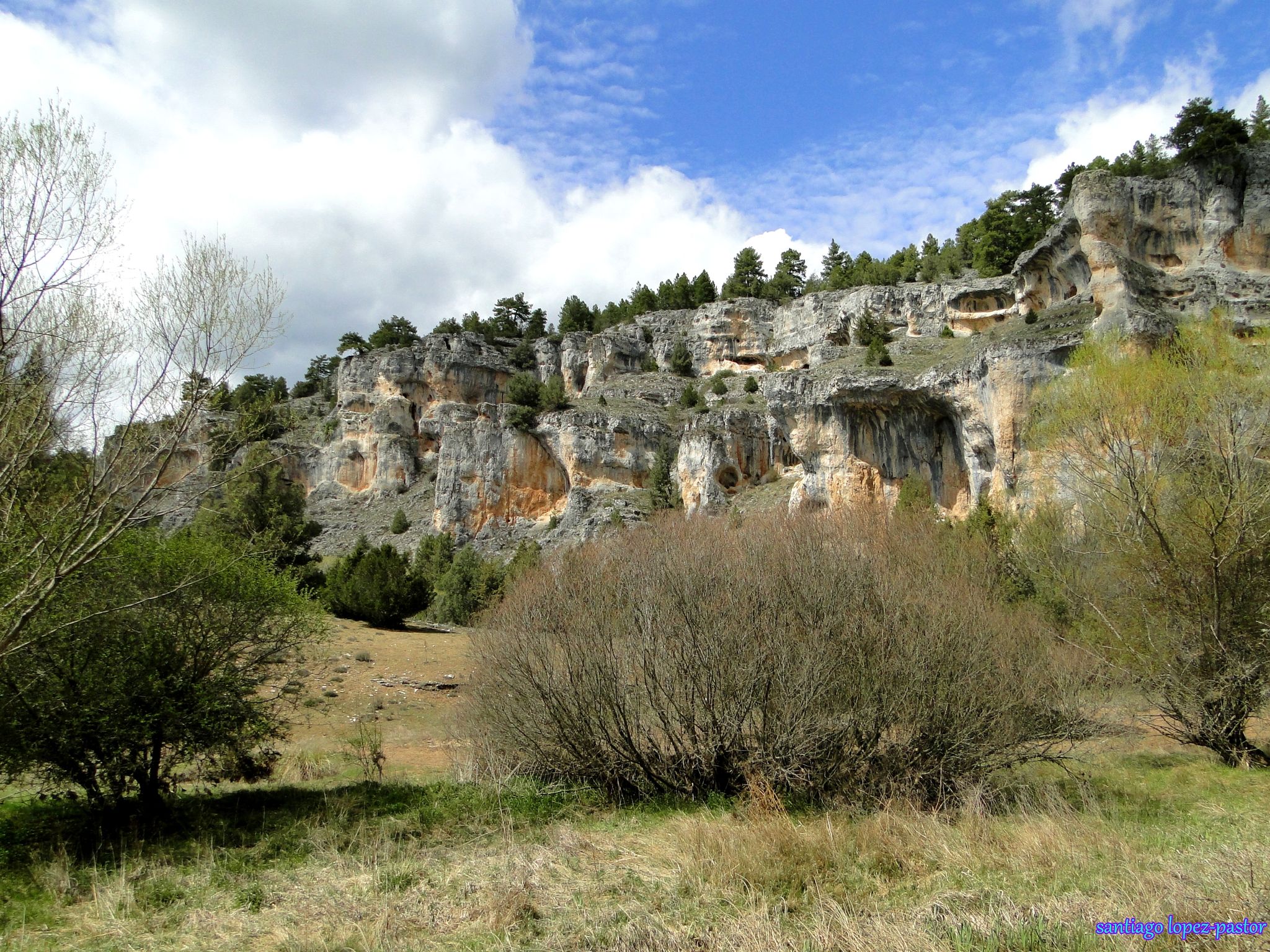
ソリア周辺の交通量の少ないグラベルバイクトレイルは、人口密度が低く、自然が保全された地域で、アウトドアアクティビティに最適な場所です。この地域は、広大な松林、川沿いの谷、石灰岩の渓谷など、多様な地形を特徴としています。その標高の高さも、利用可能なグラベルライドの多様性に貢献しています。これらの自然の特徴は、さまざまなスキルレベルに適した幅広いルートを提供します。
ソリア周辺の交通量の少ない最高のグラベルバイクトレイル
- 最も人気のある交通量の少ないグラベルバイクトレイルは、ソリア発、トレディージョ駅跡~シドネス鉄道駅跡ループです。これは39.8km(24.7マイル)のトレイルで、所要時間は2時間18分です。このルートは川沿いの谷と松林を巡り、変化に富んだ地形を提供します。
- 地元のグラベルバイカーに人気のもう一つのトレイルは、ソリア発、フンタ・デ・ロス・リオス・トレイル~トレディージョ駅跡ループです。これは44.7km(27.8マイル)の中級レベルのルートです。このトレイルはソリアの自然環境の中を蛇行し、景色の良い眺めを提供します。
- 地元のグラベルバイカーに愛されているもう一つのトレイルは、ザ・キャディー発、トレディージョ駅跡~サント・ドミンゴ教会ループです。これは43.5km(27.0マイル)のトレイルで、松林を通り抜け、所要時間は約2時間43分です。
- ソリア周辺のグラベルバイキングは、広大な松林、景色の良い川沿いの谷、印象的な石灰岩の渓谷によって特徴づけられます。このネットワークは、中級レベルの道からより挑戦的な登りまで、さまざまなスキルレベルに対応するオプションを提供します。
- ソリアのルートは、komootコミュニティから高く評価されており、5件のレビューで平均5.0つ星を獲得しています。200人以上のグラベルバイカーがkomootを利用して、ソリアの多様な地形を探索しています。
最終更新日: 10月 18, 2026
5.0
(1)
22
ライダー
90.2km
04:46
380m
380m
中程度のグラベルライド. ある程度のフィットネスレベルが必要です。 全般的に舗装された状態です。あらゆるスキルレベルに適しています。
18
ライダー
52.8km
02:53
300m
300m
中程度のグラベルライド. ある程度のフィットネスレベルが必要です。 全般的に舗装された状態です。あらゆるスキルレベルに適しています。

5.0
(1)
22
ライダー
39.7km
02:18
240m
240m
中程度のグラベルライド. ある程度のフィットネスレベルが必要です。 全般的に舗装された状態です。あらゆるスキルレベルに適しています。
22
ライダー
43.6km
02:44
410m
410m
中程度のグラベルライド. ある程度のフィットネスレベルが必要です。 全般的に舗装された状態です。あらゆるスキルレベルに適しています。
10
ライダー
41.3km
03:01
280m
280m
中程度のグラベルライド. ある程度のフィットネスレベルが必要です。 全般的に舗装された状態です。あらゆるスキルレベルに適しています。
さらに多くのルートや他のユーザーのおすすめ情報を確認できます。
すでにアカウントをお持ちですか?
おすすめのツアーは他のkomootユーザーが実際に経験した何千ものアクティビティに基づいています。
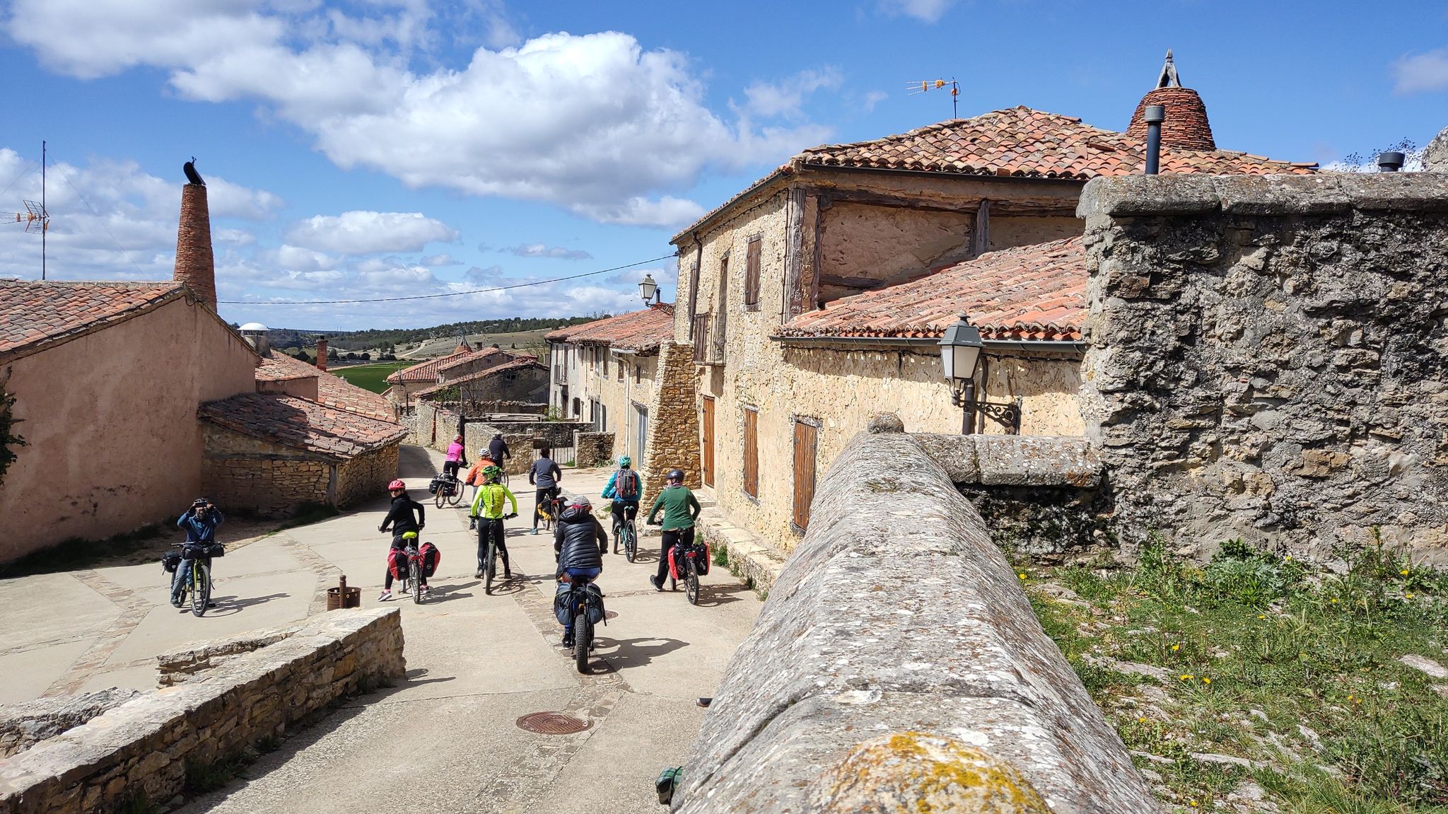
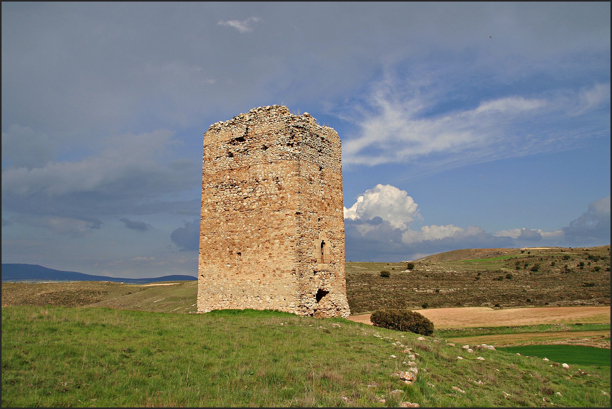
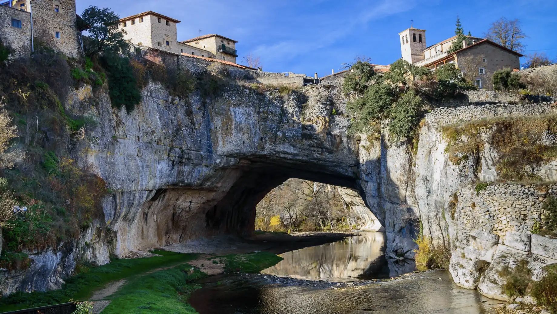
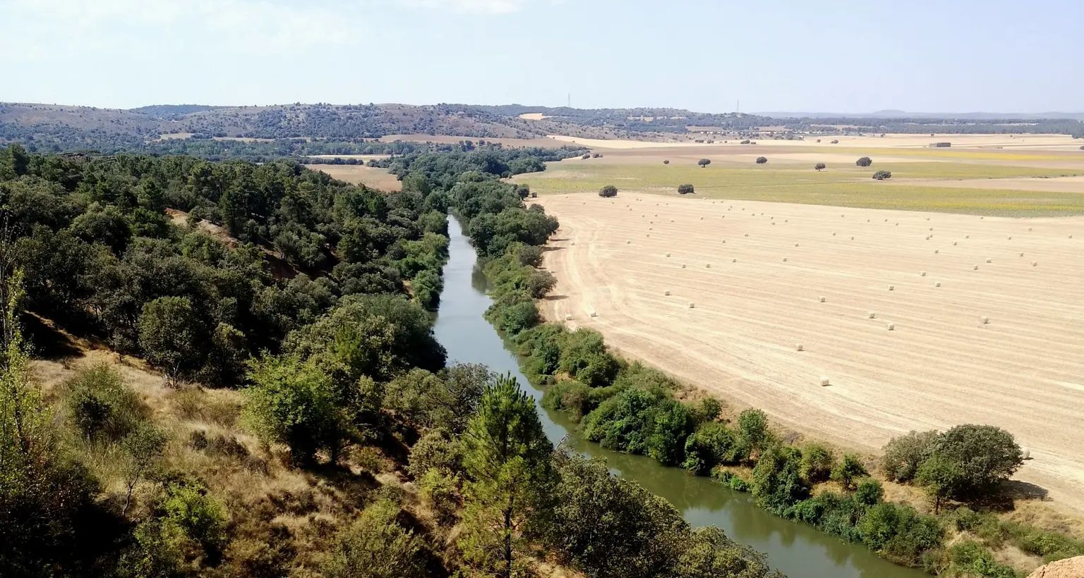


ソリアでのの他の冒険


コミュニティからのヒント

Stage 1. Soria/Duruelo de la Sierra 106 kilometers. 1,240 meters of elevation gain. The stage's altitude data borders on a peaceful day of cycling from a medium-level perspective, especially the elevation gain concentrated in the final stretch, between Hontoria del Pinar and Duruelo de la Sierra. The stage can be divided into two days, with the first night's stop in San Leonardo de Yagüe, which has all the necessary amenities. In these bikepacking reports and suggestions, I try to provide information, suggestions, and opinions on optimal routes, routes, and terrain for enjoyable gravel bike travel. However, these data should always be assessed subjectively, allowing each cyclist to establish their own travel style and pace, depending on the tour company, the time of year, their goals, or their personal taste. A beautiful part of traveling is making each experience your own adventure. The milestones are marked, indicating paths, outstanding places, points of interest, or discoveries made by other cycle travelers, but each cyclist must find their own inspiration, and it will always be a unique journey. The Duero River has been a frontier since the dawn of Iberian civilizations, and Soria a strategic stronghold in a territory of conquest and power. And whenever I begin a bike trip in Soria, I always look for the riverbank to mark the starting point, at the foot of the Parque del Castillo, a natural space with an atmosphere of bygone eras marked by the power of a watercourse around a medieval fortress. A quiet and convenient place to park is the Paseo de San Prudencio parking lot, near the Romanesque chapels that distinguish the city's historical and artistic heritage. Along the riverside paths, there are gardens, recreational areas, kiosks, and inspiring sculptures, and on the opposite bank are the Church of San Polo and the Chapel of San Saturio, two jewels of Soria's Romanesque architecture. And there are also the signposts for the Senda del Duero Nature Trail, where the return route begins. The sign for the start of the Santander-Mediterranean Nature Trail section between Soria and Hontoria del Pinar is next to the train station, in another part of the city. The connection from the banks of the Duero River between the two Nature Trails has no specific signage; it follows the river along the riverside promenade, passes the San Saturio pedestrian bridge, and climbs along the University of Soria bike path to the Carretera de Madrid roundabout. The best route I've found in this area of industrial estates and vacant lots to reach the route of the old Santander railway is to go up Eduardo Saavedra Street to a crossroads where there are some car dealerships, turning left onto Camino del Cañuelo. This is a somewhat winding but effective route for reaching the "ground zero" of the Santander-Mediterranean Nature Trail by bike. The trail is located at the train station exit, with an information panel and the first red signs indicating the crossing points. And then it's time to pedal toward the forest kingdom of Tierra Pinariega and the Picos de Urbión. The first few kilometers fly by; it's a rural area, the villages are far from the railway, and you simply have to glide along the magnificent gravel surface of the old railway, seeing the remains of the stops, stations, and milestones of the Nature Trail. Ocenilla is a district of Cidones, close to the railway crossing, at the foot of the solitary Cabrejas mountain range. It's easy to cycle to the entrance of the village and see the sculpture of the Warrior of Ocenilla, a striking representation of a Celtiberian warrior found in the drawings of a 3rd-century BC vase, associated with the Numantian culture. The route winds along endless straight stretches alongside the Cabrejas mountain range and enters Tierra Pinariega through the municipalities of Abejar and Cabrejas del Pinar. Some milestones bear the yellow arrows of the Castilian-Aragonese Way of St. James.
0
0

Stations have no roof or are locked. No campspot
0
0

Ocenilla is a hamlet belonging to the municipality of Cidones. It is located 15 km from the capital, Soria. In the distance, beneath the foothills of the Sierra de Cabrejas, you can see the Pico Frentes. Access is the same as to Cidones, taking the N-234. Festivals include St. Anthony of Padua on June 13th and St. Stephen's Day on December 26th. A Celtiberian fortress stands here, part of the wall still stands today. The economy is based primarily on livestock farming. Among the plants, the oak stands out. Typical dishes include perolo on Christmas Eve and cachula, or pork blood broth. Art and Sights in Ocenilla Hermitage of San Antonio Church of San Esteban Archaeological Remains Don Simón Spring (Natural Spring) Ivy Spring (Natural Spring) Old Washhouse (Old Washhouse) Source: https://www.cidones.es/ocenilla
0
0

Beautiful hermitage that is next to the road that goes in the direction of Abejar and as its name suggests, its white facade stands out from the rest of the landscape!
0
0

Following the Cantabria-Mediterranean greenway we arrive at the old Toledillo halt, with a bench in the shade to take a break with these spectacular views of the front peak
0
0

Monotonous road with many thistles to avoid
0
0
よくある質問
ソリアには交通規制のないグラベルバイク用トレイルがいくつありますか?
ソリアには交通規制のないグラベルバイク用トレイルが豊富にあり、30以上のルートが探索可能です。これらのトレイルは、車両の交通から離れた静かなサイクリング体験を提供し、この地域の自然の美しさに完全に浸ることができます。
ソリアのグラベルバイク用トレイルではどのような地形が期待できますか?
ソリアのグラベルトレイルは、広大な松林、景色の良い川沿いの谷、石灰岩の渓谷など、多様な地形が特徴です。整備された道と地方道が混在しています。多くのルートはテクニカルではありませんが、特にウルビオン山脈周辺の一部のエリアでは、かなりの標高差やより挑戦的な登り坂があります。
ソリアには交通規制のない円形のグラベルルートはありますか?
はい、ソリアの交通規制のないグラベルルートの多くは円形になっており、便利な出発点と終着点を提供します。例えば、ソリア発の40kmのトレドゥージョ駅~シドネス鉄道停車場ループや、ソリア発の51kmのプエンテ・デル・カント~フンタ・デ・ロス・リオス・トレイルループなど、出発地点に戻ってくるように設計されたルートを楽しむことができます。
ソリアのグラベルバイク用トレイル沿いでは、どのような自然の魅力を見ることができますか?
ソリアのグラベルトレイルは、しばしば息をのむような自然の景観を通り抜けたり、その近くを通ったりします。印象的な石灰岩の地形とハゲワシの巣で知られる雄大なカニョン・デル・リオ・ロボス自然公園を探索できます。その他の見どころとしては、静かなラ・フエンコーナ・デ・ムリエルや、オヘダ川の滝、クエバ・セレーナの滝などの様々な滝があります。
ソリアでグラベルバイクに乗るのに最適な時期はいつですか?
ソリアでグラベルバイクに乗るのに最適な季節は、春、夏、初秋です。これらの月は一般的に気象条件が良好で、冬や晩秋の極端な寒さを避け、緑豊かな松林から川沿いの谷まで、多様な景観を存分に楽しむことができます。
ソリアには家族向けの交通規制のないグラベルルートはありますか?
多くのルートは中級と分類されていますが、ソリアの広大な未舗装路と地方道のネットワークは、家族に適したオプションを提供しています。標高差が少なく、より平坦な路面のルートを探してください。この地域は交通規制のない道に重点を置いているため、あらゆる年齢のライダーにとってより安全ですが、一部のルートでは良好な体力が必要となる場合があります。
ソリアのグラベルバイク用トレイルに犬を連れて行っても良いですか?
ソリアの多くの自然地域、一部のグラベルトレイルを含む場所では、犬を連れて行くことができます。ただし、カニョン・デル・リオ・ロボスのような自然公園や保護地域では、規則が異なる場合があるため、常に特定の規則を確認することをお勧めします。自然環境を保護するため、常に犬を管理下に置き、後始末をしてください。
ソリアの交通規制のないグラベルバイク用トレイルの一般的な難易度はどのくらいですか?
ソリアの交通規制のないグラベルバイク用トレイルのほとんどは、中程度の難易度と評価されています。これは、適度な体力と、変化に富んだ地形での経験があるライダーに適していることを意味します。より高度なライダー向けの、かなりの標高差がある挑戦的なルートもあります。
他のグラベルバイカーはソリアのトレイルのどのような点を最も楽しんでいますか?
komootコミュニティはソリアのグラベルトレイルを高く評価しており、平均スコアは5.0つ星です。レビューでは、この地域の人の手が加わっていない自然の美しさ、交通規制のないルートの静けさ、そして自然への真の逃避行を提供する多様な景観がしばしば称賛されています。「秘密のグラベルパラダイス」を発見したという感覚が共通の感情です。
経験豊富なライダー向けの、長距離の交通規制のないグラベルルートはありますか?
はい、ソリアはより長距離のライドを求めるライダー向けに、より長いルートを提供しています。例えば、ソリア発のプエンテ・デル・カント~フンタ・デ・ロス・リオス・トレイルループは、51km以上にわたり中程度の標高差があり、良い挑戦を提供します。また、多くのルートを連結または延長して、この地域の広大な森林や谷を巡るより長い冒険を作り出すことも可能です。
ソリアの車が通行できないグラベルルート沿いには、特定の展望ポイントや景色の良い場所はありますか?
ソリアのルートは本質的に景観が良く、しばしば川岸に沿ったり、広大な松林を横切ったりします。カニョン・デル・リオ・ロボスとウルビオン山脈周辺のエリアは、息をのむような眺めを提供します。特定の名前の付いた展望ポイントは異なる場合がありますが、地域全体が継続的な自然の美しさをもたらしており、ほぼどこでも立ち止まれば景観を楽しめます。

komootモバイルアプリでインスピレーションを得よう


さらに探索
他の地域の最高のグラベルライドを見てみましょう。
