パルコナチュラーレデルグランボスコディサルベルトランドの峠・トップ5
イタリアのピエモンテ州、スーザ渓谷上部に位置するグラン・ボスコ・ディ・サルベルトランド自然公園周辺の最高の峠道は、イタリアで見られます。この保護地域は、標高1,000メートルから2,600メートルに至る多様な高山環境を特徴とし、広大な混交林で知られています。この地域は、高地の峠道と歴史的な軍用道路が特徴で、アウトドアアクティビティに多様な地形を提供しています。多くのトレイルは、特に公園の南端を形成する歴史的な軍用道路であるストラダ・デッラッシエッタ沿いの重要な峠道へと続いています。
グラン・ボスコ・ディ・サルベルトランド自然公園周辺の最高の峠道
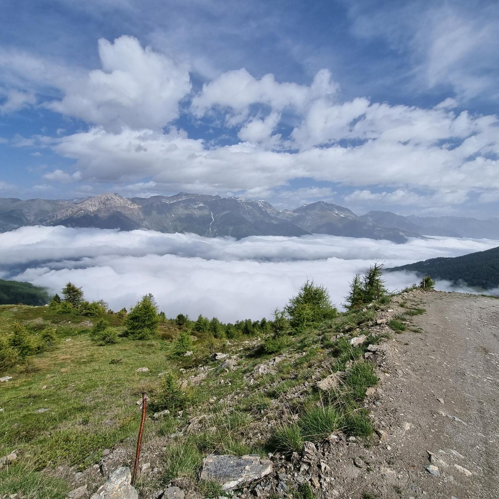
- 最も人気のある峠道は、軍用道路に沿った峠道であるストラダ・デッラッシエッタとコッレ・デッラッシエッタ(2472 m)です。このルートはコッティアン・アルプスの景色を望み、サイクリングやハイキング向けの挑戦的なグラベルロードとして評価されています。
- もう一つの必見スポットは、峠道であり展望台でもあるコッレ・デッラッシエッタです。このアルプスの峠は標高2,472メートルに位置し、オルシエラ・ロッチャヴレ自然公園内にあり、完全に未舗装の道路からアクセスできます。
- 訪問者は、峠道であり展望台でもあるブレジエ峠も気に入っています。この峠は、グラン・ボスコ・ディ・サルベルトランド道路とアシエッタ道路の間の通過点として機能し、スーザ渓谷とキゾーネ渓谷の両方からアクセス可能です。
- グラン・ボスコ・ディ・サルベルトランド自然公園は、高地の峠道、歴史的な軍用道路、展望台で知られています。この地域は、見るべき、そして探索すべき様々な峠道を提供しており、その多くはストラダ・デッラッシエッタの一部です。
- グラン・ボスコ・ディ・サルベルトランド自然公園周辺の峠道は、komootコミュニティに高く評価されており、6つのハイライトには131件の「いいね!」と126枚の写真が寄せられています。
最終更新日: 10月 13, 2026
コル・ブレジエ
ハイライト • 山道
翻訳者 Google •
役立つ情報 は

コッレ・デッラッシエッタ
ハイライト • 山道
翻訳者 Google •
役立つ情報 は

今すぐサインアップして、こんな場所を発見しよう
最高のシングルトラック、ピーク、その他のエキサイティングなアウトドアスポットのおすすめを受け取ろう。
ストラーダ・デッラ・アッシエッタとコッレ・デッラ・アッシエッタ(2472m)
ハイライト (セグメント) • 山道
翻訳者 Google •
役立つ情報 は

ストラーダ・デッラ・アッシエッタ
ハイライト • トレイル
翻訳者 Google •
役立つ情報 は

ストラーダ・デッラッシエッタ
ハイライト (セグメント) • 山道
翻訳者 Google •
役立つ情報 は

無料でサインアップして、さらに多くの山道を発見しましょう パルコナチュラーレデルグランボスコディサルベルトランドでの。
すでにアカウントをお持ちですか?
無料アカウントで今日から始めよう
次の冒険が待っています。
パルコナチュラーレデルグランボスコディサルベルトランド周辺で人気



パルコナチュラーレデルグランボスコディサルベルトランドでのの他の冒険

コミュニティからのヒント

この丘は、モンフォルから登る際に特に評価されるべきです。なぜなら、キゾーネ谷を見渡す素晴らしいパノラマビューポイントを提供するからです。緩やかな勾配のため、特に自転車で走る場合に非常に快適な、長いトラバースの終わりに到着します。その一方で、アセッタ通りという美しい高山道路を走る、ほとんどが外国人のオフロード車のかなりの交通量があります。峠の手前で、道沿いの多くの小川を利用して、必ず補給してください。なぜなら、峠を過ぎると、セストリエーレ方面へ向かう場合でも、アセッタ方面へ向かう場合でも、ほとんど水は見つかりません...そして、ほこりも多いです!もう一つの推奨事項:雷雨が脅威となる場合は、このルートを避けてください。避難場所がなく、落雷の危険性が高いです!
1
0

one of the many hills along the military road
1
0

I'd been dreaming of being there for a long time, and I finally made it. It's a simply wonderful place. Words needn't be written. I climbed to the pass on its eastern slope, the one that starts from Pian dell'Alpe, and previously climbed Colle delle Finestre from Susa. Combining the two sections, I can assure you it's one of the toughest climbs I've ever done, but also one of the most beautiful. The section from Pian dell'Alpe to Colle della Assietta is divided into three parts: the first 4 kilometers of a steady climb at 6-7% gradient, the 2-kilometer intermediate rest stop, and the final 4 kilometers with steeper gradients and a worse track condition. I wholeheartedly invite you all to enjoy this wonderful place.
1
0

Former military road almost completely unpaved, located along the mountain ridge that separates the Val di Susa from the Val Chisone. From Pian dell'Alpe to Sestriere you travel 30 km admiring suggestive landscapes both on one valley and on the other
2
1
Reachable from both Val Susa and Val Chisone. Wonderful views in any direction you decide to continue
1
0

The Strada dell'Assietta is a high-altitude gravel road in the Italian Alps, climbing above 2,000 meters & spanning over 30 kilometers.
1
0

A hill that goes up a forest road, sometimes rocky, goes up through the heart of the Great Forest in the Parco Naturale della Gran Bosco di Salbertrand (Natural Park of the Great Forest of Salbertrand) to the Col Blegier (pass). Because it is a forest road, the trail is not technically difficult, but there is 640 m (2,100 ft) of climbing in this 7.7 km
1
0

Dirt road that can be traveled from Pian dell'Alpe to above Sestriere
0
0
パルコナチュラーレデルグランボスコディサルベルトランドでのの人気ルート
パルコナチュラーレデルグランボスコディサルベルトランドでのの人気観光スポット

komootモバイルアプリでインスピレーションを得よう


さらに探索
これらのガイドでさらに壮大な山道を見てみましょうパルコナチュラーレデルグランボスコディサルベルトランドでの:
