マディソン山脈のおすすめMTBライド
135
ライダー
11
ライド
マディソン山脈でマウンテンバイクを楽しめば、マディソン郡のこのエリアをより深く知ることができます。このエリアを最大限に満喫できるように、komootがマウンテンバイクルートのコレクション全体を評価して選び抜いた人気ルートをご紹介します。次の冒険にぴったりのマウンテンバイクルートを見つけるには、以下のルートをクリックしてkomootのマウンテンバイクコミュニティのメンバーが投稿した役立つ情報や写真を閲覧し、各ルートに関してみんなが気に入った点などを参考にしましょう。
最終更新日: 11月 7, 2026
6
ライダー
18.7km
02:20
770m
770m
The Sheep Lake Trail offers a challenging mountain biking experience through the rugged Lionhead area near West Yellowstone, Montana. You'll navigate a very technical singletrack with tough climbs over large…
2
ライダー
32.5km
03:37
1,000m
1,000m
Embark on the Targhee Creek and Continental Divide Trail Loop, a difficult mountain biking adventure spanning 20.2 miles (32.5 km). You'll tackle diverse and demanding terrain, from dirt roads to…

1
ライダー
46.9km
04:14
600m
600m
23.4km
02:42
860m
860m
The Kirkwood Trail offers a rewarding mountain biking experience, winding through diverse terrain with significant elevation changes. You'll navigate a mix of singletrack, potentially encountering dry, loose sections at lower…
9.04km
01:06
350m
350m
Beehive Basin Trail #40 offers a rewarding mountain biking experience near Big Sky, Montana, taking you through a progression of stunning landscapes. You'll pedal through forested meadows and alongside Beehive…
14.4km
01:40
470m
470m
The Oil Well Road Trail #68 offers a delightful mountain biking experience through the Custer Gallatin National Forest, showcasing vast grasslands and open scenery. You'll ride on a mix of…
12.6km
01:35
550m
550m
The Rat Lake Trail offers a dynamic mountain biking experience near Gallatin Gateway, Montana, leading you through varied terrain to a scenic lake. You'll navigate a mix of singletrack and…
35.7km
03:37
790m
790m
49
ライダー
23.0km
02:11
550m
550m
中程度のマウンテンバイクライド. ある程度のフィットネスレベルが必要です。 高度なライディングスキルが必要です。
7
ライダー
35.5km
03:09
850m
850m
中程度のマウンテンバイクライド. ある程度のフィットネスレベルが必要です。 高度なライディングスキルが必要です。
おすすめのツアーは他のkomootユーザーが実際に経験した何千ものアクティビティに基づいています。
無料アカウントで今日から始めよう
次の冒険が待っています。

コミュニティからのヒント

Ousel Falls Trail in Big Sky offers a short, scenic hike along the South and West Forks of the Gallatin River, crossing three bridges before reaching the stunning waterfall. At the trail split, hikers can choose from four paths: the South Fork Overlook, the top of the falls via a natural footpath, the base of the falls with a picnic area, or the rocky Ousel Falls Overlook. This popular trail is best hiked between May and October, and dogs are welcome. Do note that roads to the trailhead may be seasonally closed.
0
0

This trail is packed with postcard views, wild flowers, and animal activity ranging from small critters to tertiary carnivores. The this intersection you are in a clearing located within the Cabin Creek Wildlife Management Area. You can either turn around and enjoy the descent back to the car or continue on Skyline where you drop down into a valley under some mountains.
0
0
The Reas Pass lies essentially on the Idaho-Montana border, but modern maps show that the summit lies entirely in Idaho, because the Divide and the state line do not quite coincide here. The pass is also somewhat unusual in that, despite being the lowest crossing of the Divide in the vicinity, it has evidently never been traversed by a highway of any significance.
0
0

Lionhead is a 2,904-metre (9,528 ft) summit on the Continental Divide Trail. The trail that leads up and down from it is popular with mountain bikers so respect all users when hiking. It can be accessed from the Targhee Pass Highway. The peak is named because, from certain angles, it looks like the head of a lion.
0
0

The final stretch to the summit can be a slog and may end up being more of a hike than a bike, however, the views more than make up for the effort. Also, the fire lookout at the summit is available for overnights so check recreation.gov if you plan to do some bikepacking.
0
0

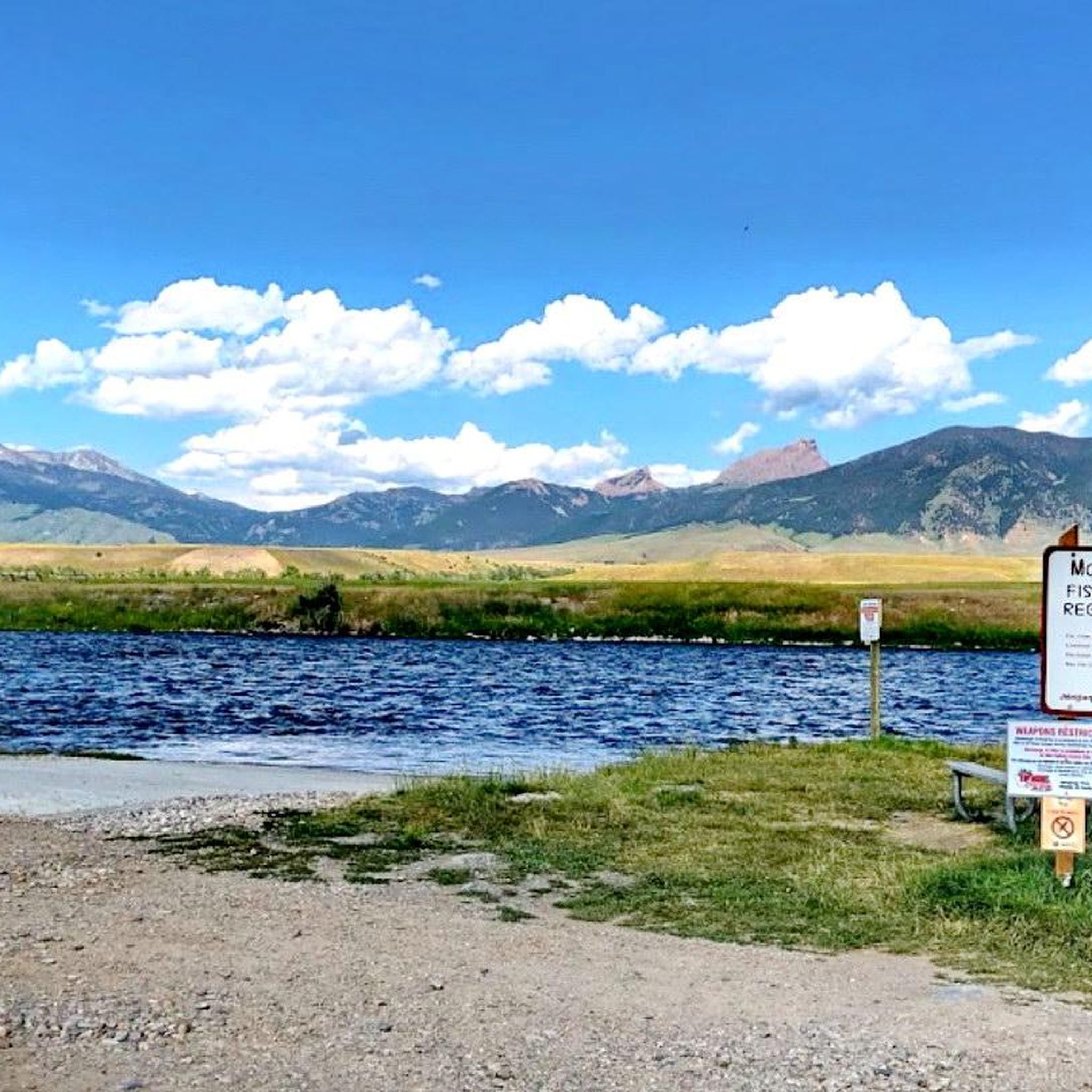
Rat Lake sits at just over 6,500 feet and can be linked with several hiking, running, or mtb routes in this area. Be sure to check on local fishing regulations if you're interested in angling in this popular spot.
0
0

Enjoy the great views of the Madison Range as you ride along the subalpine ridge.
0
0
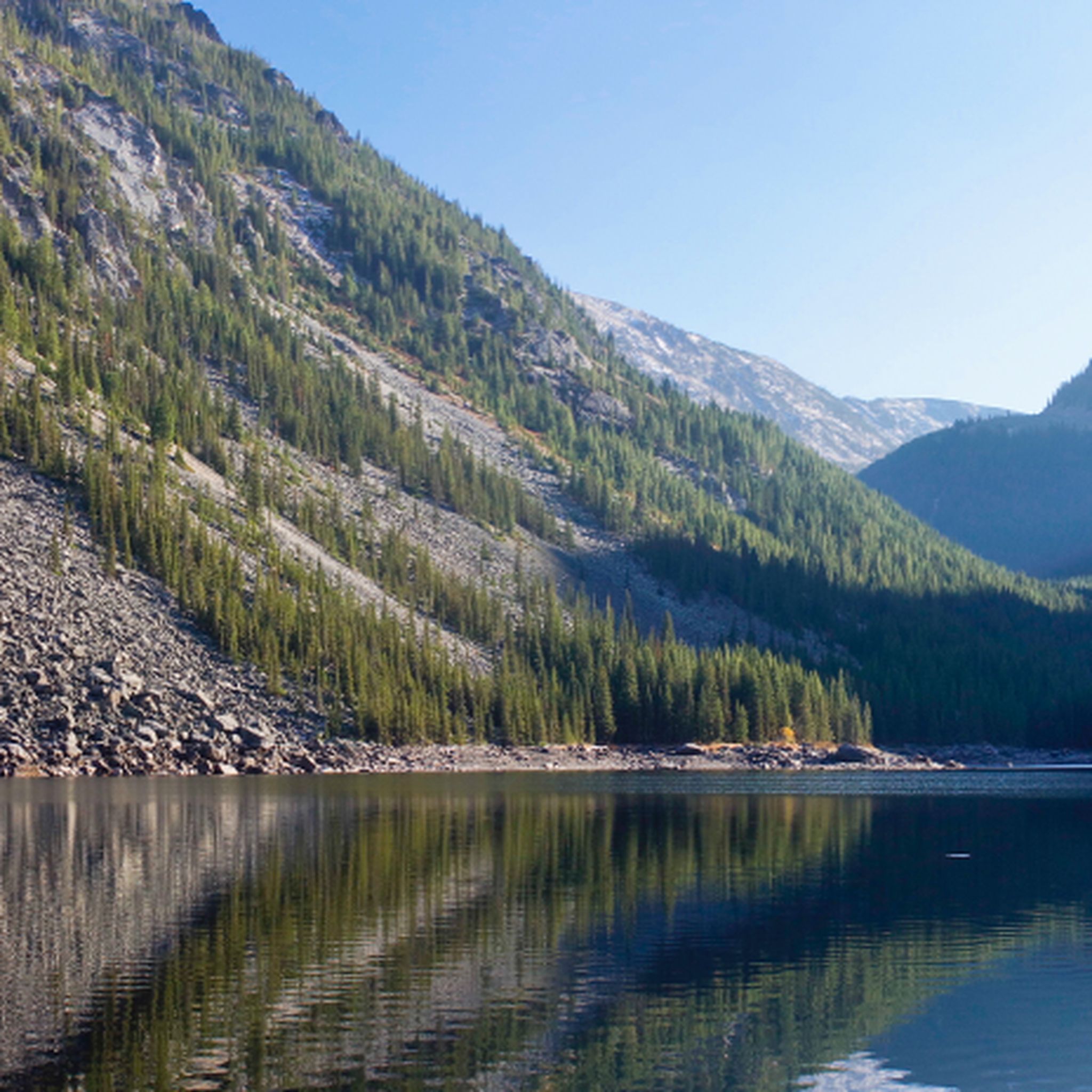
Sheep Lake is a deep body of clear water about 20 acres in size. It sits in a glacial cirque at over 9000 ft elevation and boosts great fishing. Be aware grizzly bears are active in the area.
0
0
マディソン山脈でのの人気観光スポット

komootモバイルアプリでインスピレーションを得よう


さらに探索
他の地域の最高のMTBトレイルを見てみましょう。
