国立公園ウビニャス-ラメサ周辺のアトラクション&必見スポット - トップ20
国立公園ウビニャス-ラメサには必見のスポットがたくさんあります。ハイキング愛好家やサイクリング愛好家の方は、ぜひ国立公園ウビニャス-ラメサを探索してこのエリアにある20
の隠れたスポットを訪れてみてください。このエリアの必見スポットを確認し、次の冒険に出かける計画を立てましょう。
最終更新日: 10月 24, 2026
Senda del Oso
ハイライト (セグメント) • トレイル
翻訳者 Google •
役立つ情報 は

プエルト・デ・ラ・クビージャ
ハイライト • 山道
By MTB you can get there …
翻訳者 Google •
役立つ情報 は

今すぐサインアップして、こんな場所を発見しよう
最高のシングルトラック、ピーク、その他のエキサイティングなアウトドアスポットのおすすめを受け取ろう。
クエバ・ウエルタ
ハイライト • 洞窟
翻訳者 Google •
役立つ情報 は

プエルト・デ・ベンタナ峠
ハイライト • 山道
翻訳者 Google •
役立つ情報 は

無料アカウントで今日から始めよう
次の冒険が待っています。

国立公園ウビニャス-ラメサでのの他の冒険

コミュニティからのヒント

Upon reaching the summit, you don't arrive at a village or a tourist center, but rather at a kind of natural balcony overlooking the Lena mountain passes, which gives a strange feeling, as if you've stepped onto an empty stage. And on clear days, the wind is louder among the mountain passes than any car, because traffic is minimal.
0
0
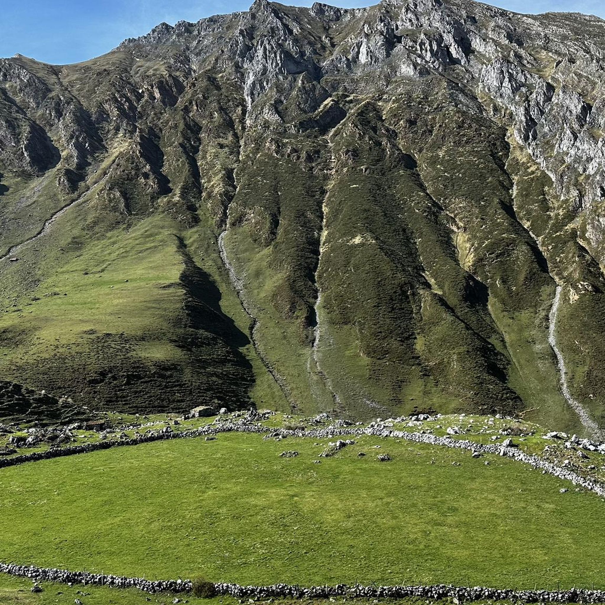
For decades, La Cubilla was practically a ghost town: a road built to connect mining valleys, used more by livestock farmers and scattered trucks than by travelers. This lack of traffic left a remarkably clean route, free of curves, absurd straights, and modern widenings: pure mountain design from another era. That's why many cyclists say it "looks more like an Alpine pass than a Cantabrian one," with those giant limestone walls silently accompanying you.
0
0

The food is very good, and the people who run it are very attentive. I recommend contacting them via WhatsApp to make a reservation.
0
0

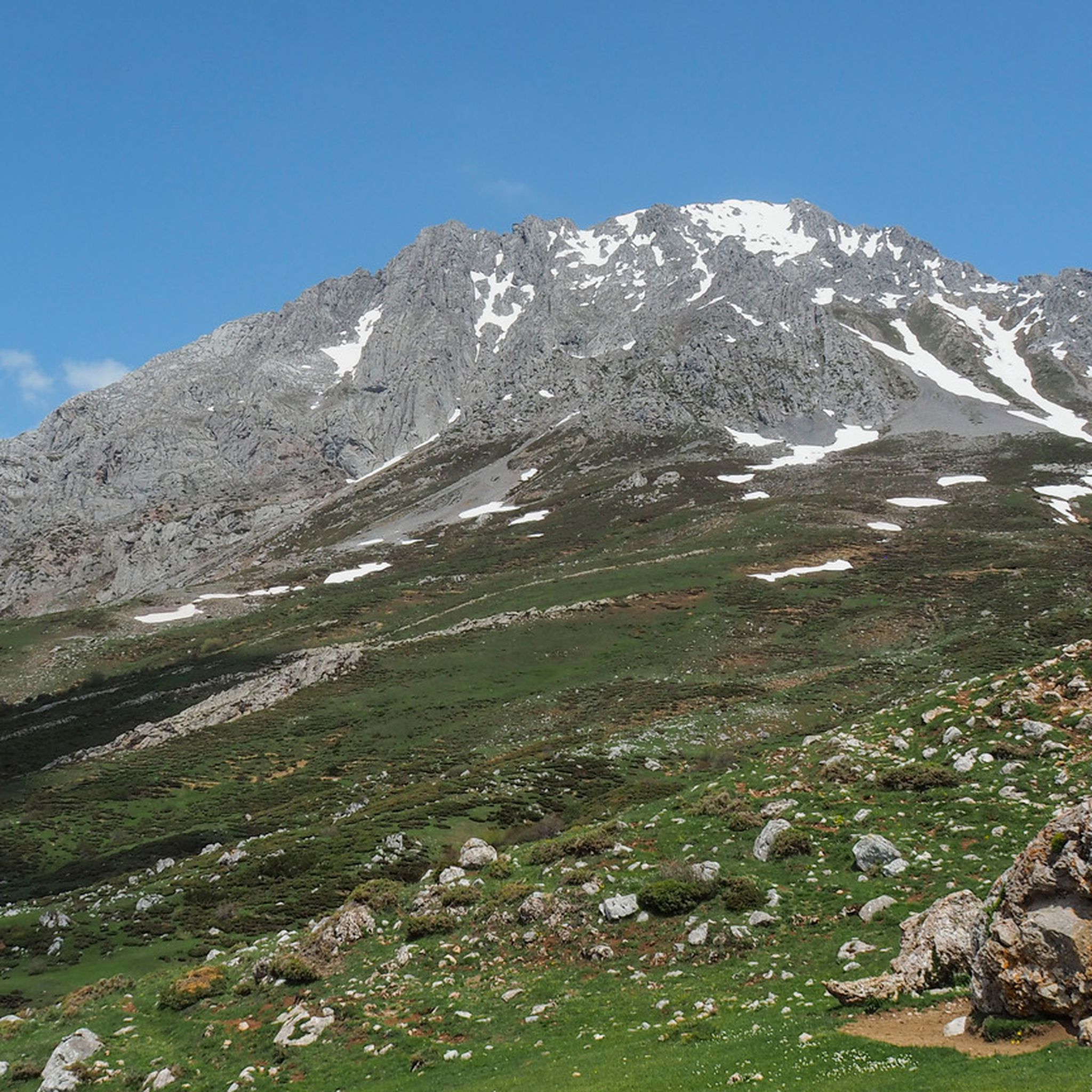
The La Cubilla mountain pass is located at an altitude of 1,683 meters, on the border between Asturias and León. Its rugged terrain and the beauty of its surroundings have earned it the title of stage finisher of the Vuelta a España, making it one of the most iconic climbs among cyclists.
0
0

Before renting a bike from the "Oso goloso" rental shop in Proaza, you should know the following: the gearshift on the mountain bikes (without mudguards, bell, or luggage rack) is absurdly intentionally locked so that, out of a hypothetical 18 gears, you can only use 4 in the middle range (so the chain doesn't come off, hahaha). After you pay and sign, they'll explain this to you. However, this is completely unsuitable for riding the Bear Trail, especially the rather steep eastern variant with its very poor surface. Even with good fitness, you'll often have to dismount. Apparently, there's another rental shop in Proaza...
1
0


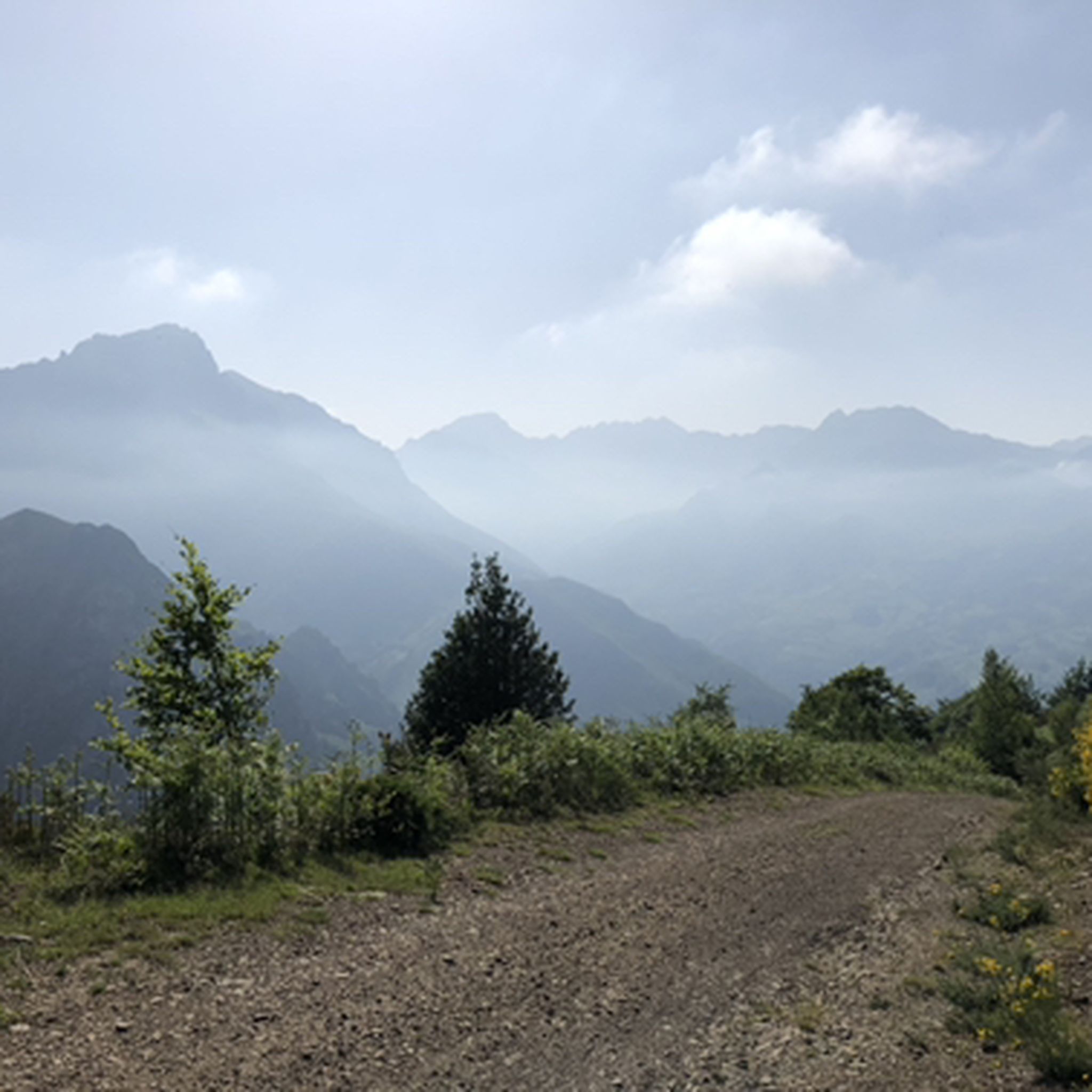
Puerto de Ventana is a mountain pass located in the Cantabrian Mountains, between the Principality of Asturias and the province of León. It lies at an altitude of 1,587 meters and connects the municipality of San Emiliano in León with the Asturian municipality of Teverga. From the pass, you can enjoy a breathtaking view of the San Emiliano Valley, known as Babia de Yuso.
3
0

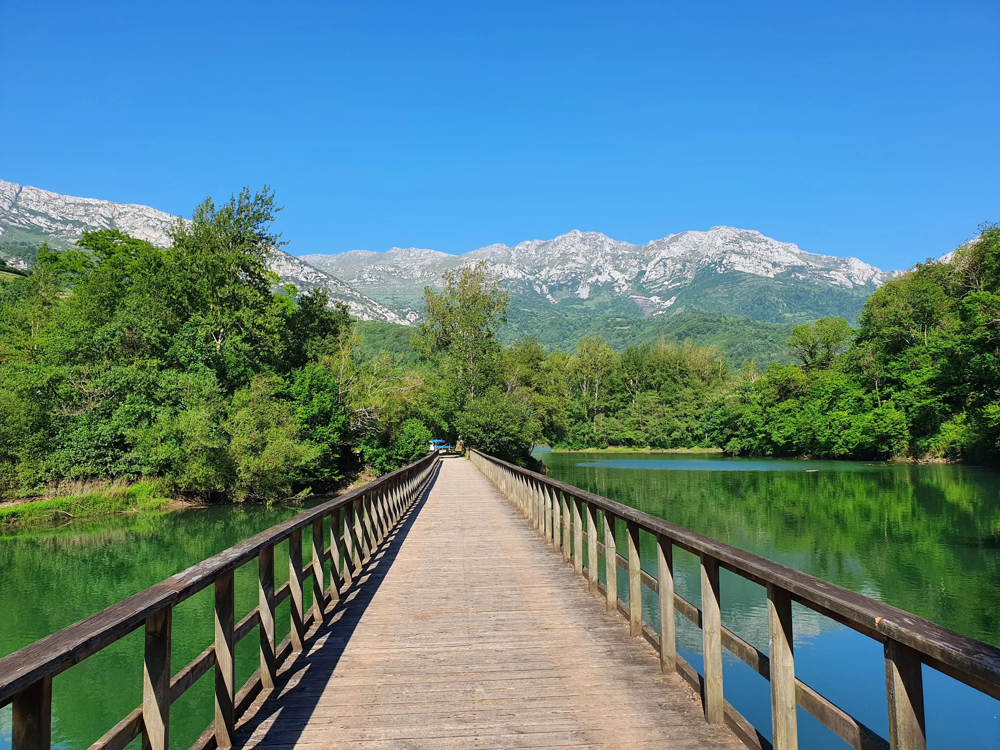
In Santa Marina there are some steps that connect with the section of the Senda del Oso in the municipality of Quirós, perfectly conditioned in the valley of the river Trubia. In autumn the trees are colourful and the warm lights of the most suggestive season of the year envelop the landscapes in a very seductive luminous effervescence. Bárzana is the capital of the municipality of Quirós, it is on the other side of the river, like many villages along the route. The route of the old mining train runs solitary and hidden to the Valdemurio reservoir, a reserve for aquatic birds and an active leisure centre. The Senda crosses the Cuevafurada gorge through an illuminated tunnel and reaches the Caranga de Abajo detour. The Teverga branch deviates to the left, this is the path we will take later on the return from Tuñón. The route continues straight ahead through the tunnels of the Peñas Juntas and Peña Caranga Gorges to the Proaza valley, where the Bear Enclosure is located. At times you can see bears that live in semi-freedom and come to the Senda Enclosure to eat. The cycle route continues through Villanueva and ends at the Tuñón Recreational Area, set up at the Esgarrada bridge. There is a fountain, benches, a children's playground and a bear sculpture. The route returns along the same path to the Caranga de Abajo turn-off and continues through the Teverga valley. On the way back you can take advantage of the opportunity to visit the town of Proaza, connecting again with the Senda at the bridge of the Hydraulic Power Station. The Bear Enclosure is still beautiful, wooded and comfortable for cycling, small villages appear, well-lit tunnels and after several curves the canyon opens up and the houses of Entragu emerge between the trees. The stage continues for a couple of kilometres to San Martín de Teverga, an important crossroads and town with all services.
0
1
国立公園ウビニャス-ラメサでのの人気ルート
国立公園ウビニャス-ラメサでのの人気観光スポット

komootモバイルアプリでインスピレーションを得よう


さらに探索
まだ探しているハイライトが見つかりませんか?他の地域のトップアトラクションのガイドを見てみましょう:
