ピュプランジュの絶景の山頂・トップ3
絶景を目指して登るのであれ、達成感のために登るのであれ、山頂を訪れることで、ピュプランジュの美しい自然をもっと満喫することができます。3
もの選択肢の中から、制覇する山頂を決めるのは簡単ではありません。スムーズに次の冒険で目指す山頂を選べるように、ピュプランジュの素晴らしい山頂をこのガイドにまとめました。
最終更新日: 10月 17, 2026
Téléphérique du Salève
ハイライト • 山頂
翻訳者 Google •
役立つ情報 は

シグナル・デ・ヴォワロン
ハイライト • 山頂
On a clear day, the views towards Lake Geneva or the mountains are phenomenal.
翻訳者 Google •
役立つ情報 は

今すぐサインアップして、こんな場所を発見しよう
最高のシングルトラック、ピーク、その他のエキサイティングなアウトドアスポットのおすすめを受け取ろう。
プチ・サレーヴのダウンヒル
ハイライト • 山頂
役立つ情報 は

ジュネーブ州の最高地点(モニア)
ハイライト • 山頂
翻訳を表示中
役立つ情報 は

モン・サレーヴから望むモンブランとアンヌシー湖の眺め
ハイライト • 展望台
翻訳者 Google •
役立つ情報 は
無料でサインアップして、さらに多くの山を発見しましょう ピュプランジュでの。
すでにアカウントをお持ちですか?
無料アカウントで今日から始めよう
次の冒険が待っています。
コミュニティからのヒント

ここ、きれいです。とてもきれいです。
1
0

A beautiful view of Geneva, or rather, its clouds.
0
0


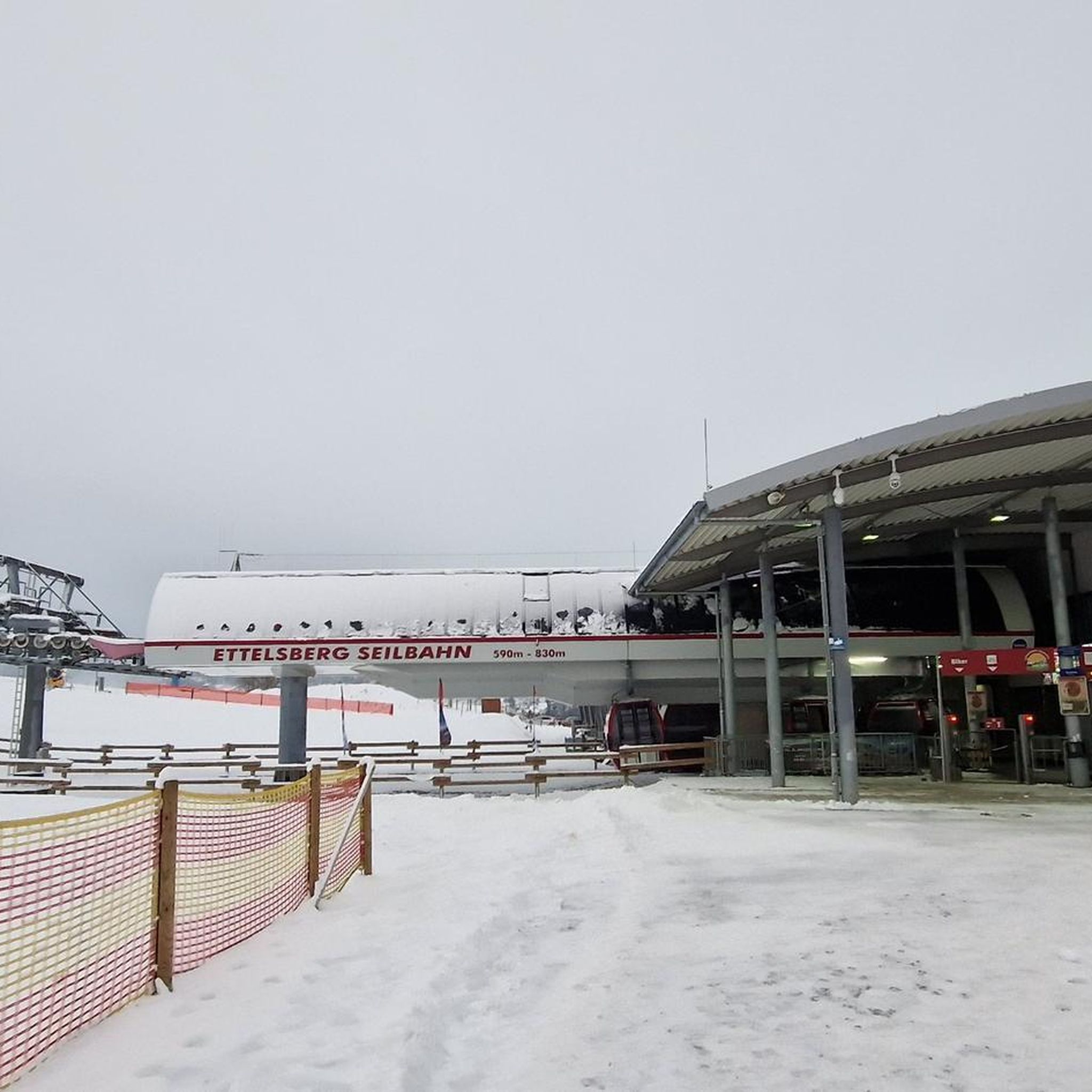
Cycling down from Salève, this breathtaking view of the Geneva region and the lake is the final reward of this demanding climb. You can dream for a long time in front of this landscape, or have a drink, stretch out on the lawn, and watch the paragliders fly just above. SUMMER SEASON | FROM APRIL 1, 2025 TO NOVEMBER 2, 2025 Open daily. Last ascent at 6:30 p.m. | Last descent at 6:45 p.m. Late openings on Thursdays, Fridays, and Saturdays: Last ascent at 10:30 p.m. | Last descent at 10:45 p.m. The 360° terrace closes at 6:30 p.m. Prices: €18 (adult) / €13 (reduced) / €6.50 (children)
0
0
This enchanting panorama is the first reward when you get on your bike. You'll find a table and a bench in the shade of a tree to enjoy the view while taking a break.
0
0

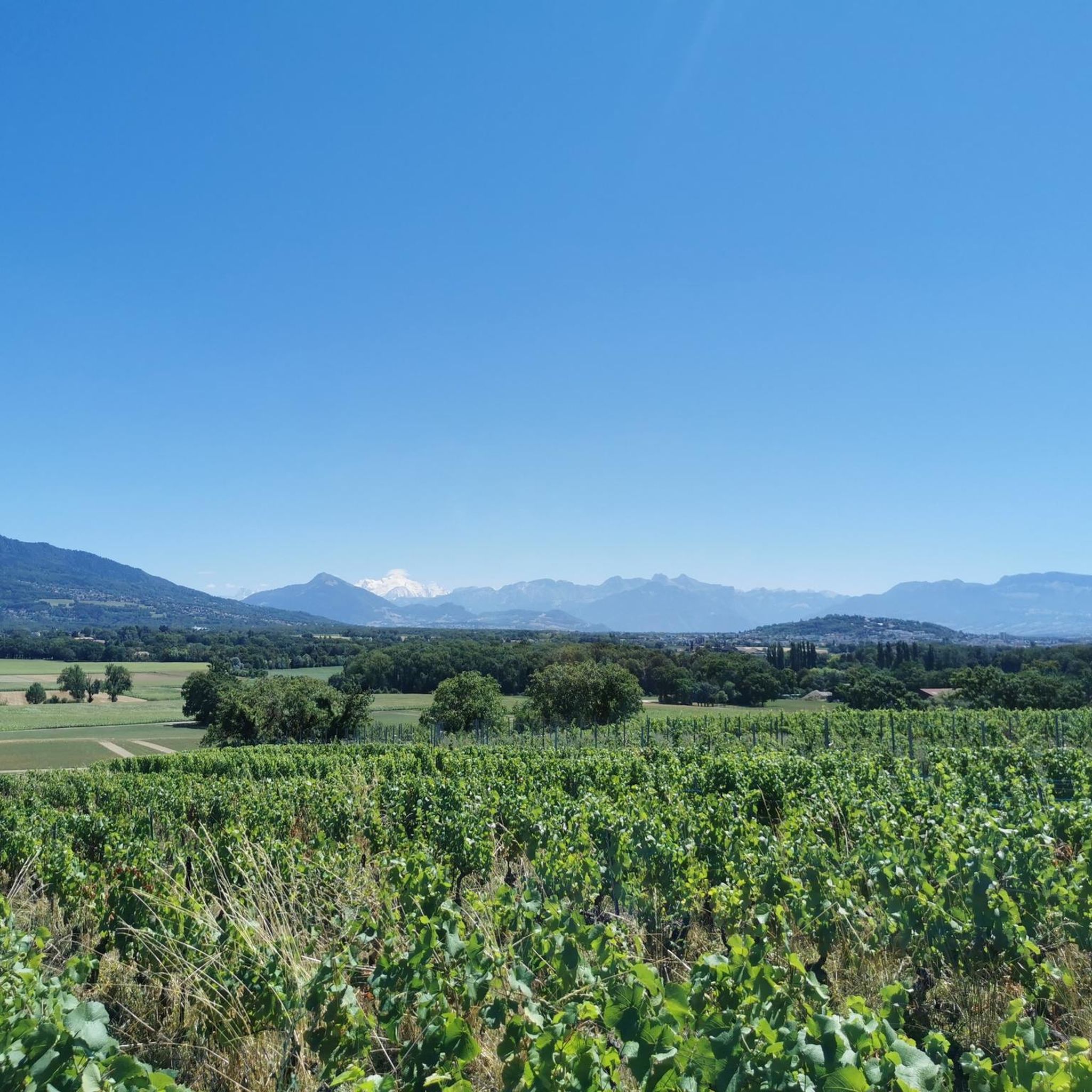
Beautiful view of the Mont Blanc massif
0
0


We are 516 m above sea level and straddle the French-Swiss border. It is also the easternmost point of the township.
0
0
ピュプランジュでのの人気観光スポット

komootモバイルアプリでインスピレーションを得よう


さらに探索
これらのガイドでさらに素晴らしい頂上を見てみましょうピュプランジュでの:
