モンタナ-村の絶景の山頂・トップ20
絶景を目指して登るのであれ、達成感のために登るのであれ、山頂を訪れることで、モンタナ-村の美しい自然をもっと満喫することができます。20
もの選択肢の中から、制覇する山頂を決めるのは簡単ではありません。スムーズに次の冒険で目指す山頂を選べるように、モンタナ-村の素晴らしい山頂をこのガイドにまとめました。
最終更新日: 8月 31, 2026
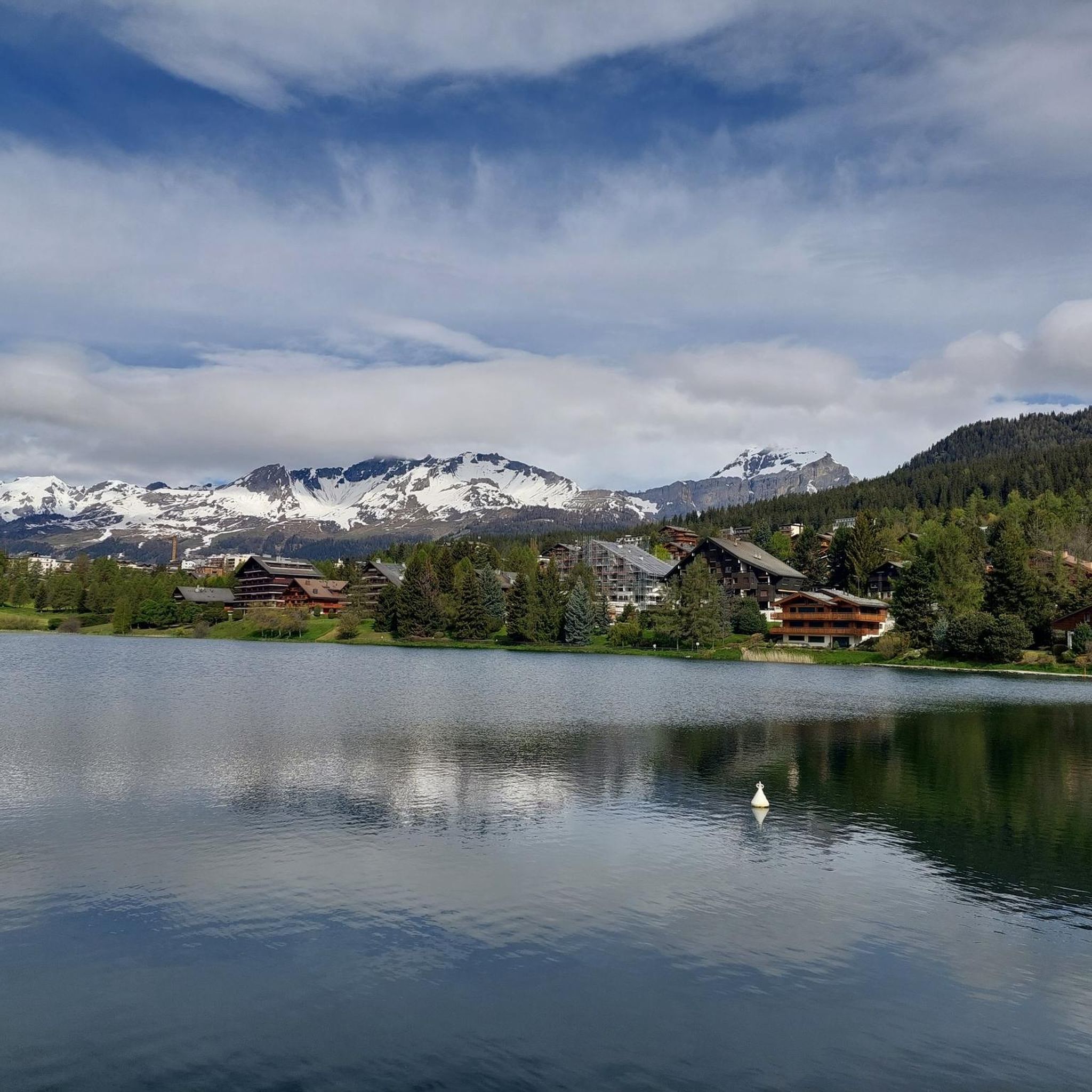
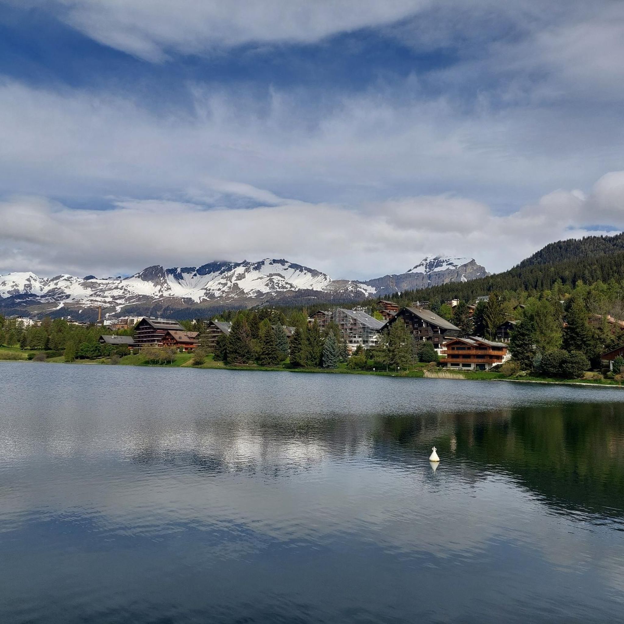
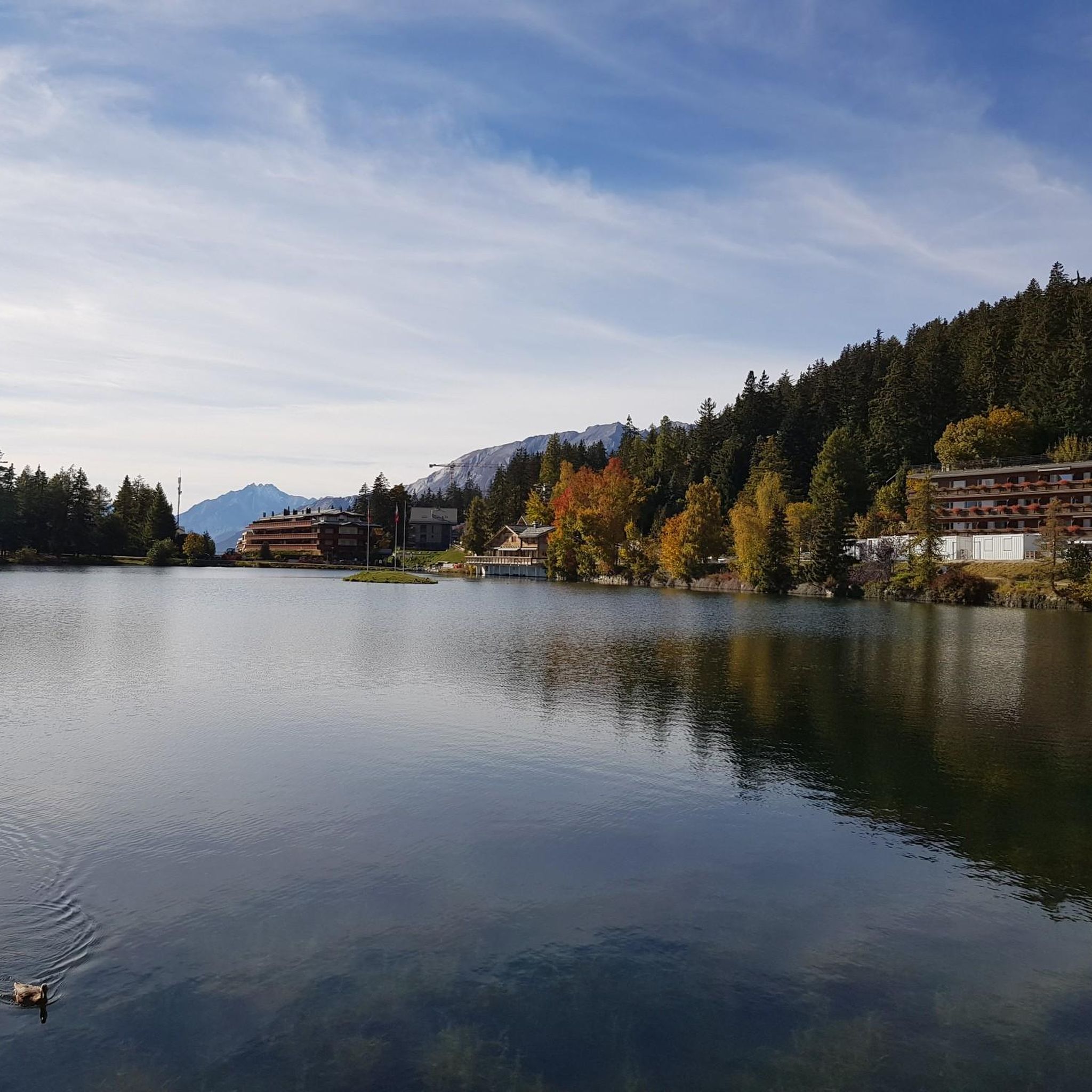
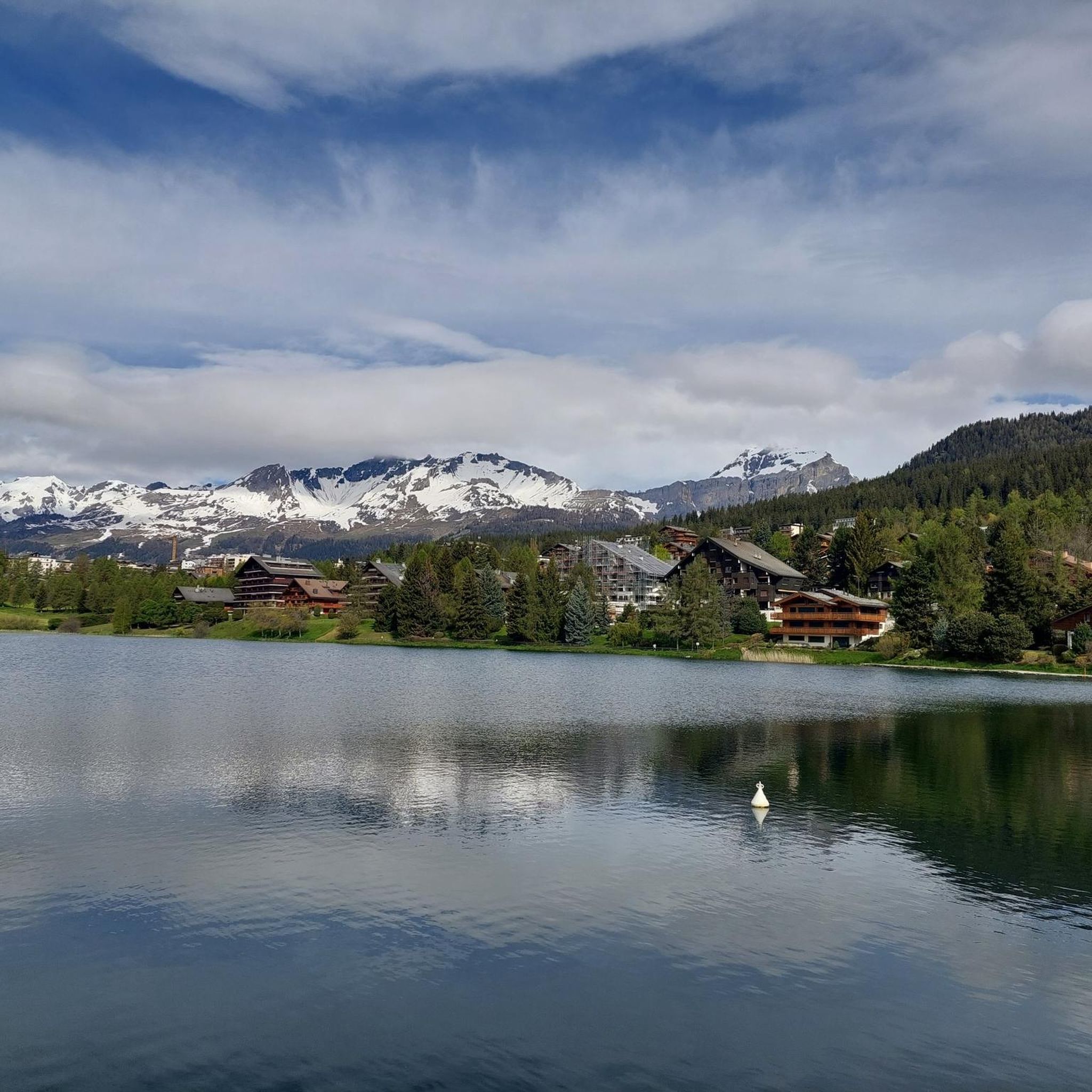
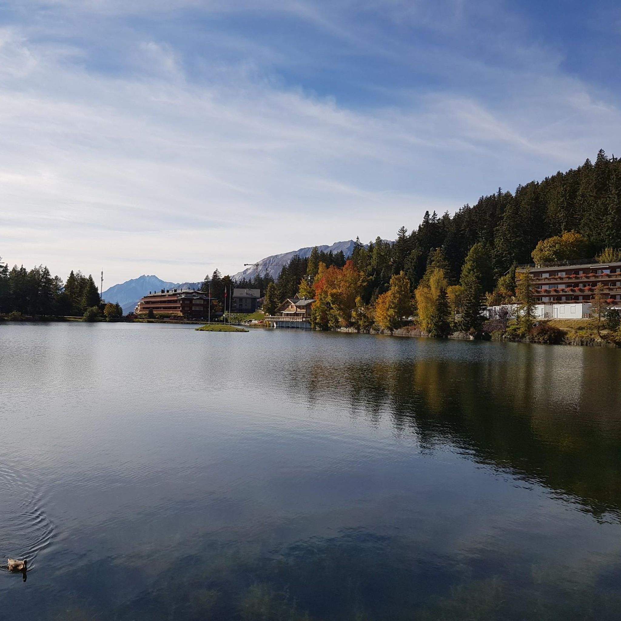
ツェウジエ湖貯水池
ハイライト • 湖
翻訳者 Google •
役立つ情報 は

コル・デュ・ラウィル(2,425m)
ハイライト • 山道
翻訳者 Google •
役立つ情報 は

今すぐサインアップして、こんな場所を発見しよう
最高のシングルトラック、ピーク、その他のエキサイティングなアウトドアスポットのおすすめを受け取ろう。
無料新規登録
ラ・ブリンタ稜線
ハイライト • 山頂
翻訳者 Google •
役立つ情報 は

クラン=モンタナ
ハイライト • 集落
翻訳者 Google •
役立つ情報 は


無料アカウントで今日から始めよう
次の冒険が待っています。
ログインまたは登録

コミュニティからのヒント


Beautiful ridge path from La Brinta to Roc d'Orzival
5
1

From the Iffigenalp, a hiking trail leads through the forest and then along paths blasted into the rock to the pass. Together with the many waterfalls and the plateau, I found this pass to be magnificent.
0
0

magnificent view of the lake and the surrounding mountains
0
0

At the Rawil Pass you are at an altitude of 2,429 meters and on the border between the cantons of Bern and Valais. It is good that the plans from the 1980s to build a road and tunnel here were rejected by a popular initiative, because this means that the mountain idyll continues to prevail here instead of noise.
0
0

Pleasant hike from the mountain station; can be mastered even if you are not a professional
2
0

The impressive view of the summit parade from the Matterhorn to Mont Blanc and a particularly diverse range of activities throughout the year are the assets of the two twin towns. Five idyllic swimming lakes, spicy-smelling mountain forests, the extensive network of hiking trails or a cozy fondue evening in a rustic restaurant are examples of family-friendly, nature-oriented Crans-Montana. With 177 kilometers of marked trails, two downhill routes and the Kona bike park, the mountain biking offer in Crans Montana is excellent. The place is a popular starting point for training rides for cyclists.
0
0
From La Brinta to Roc d'Orzival the distance on the ridge is almost 3.5 km All difficult passages near the rocks are secured by chains. On one side of the ridge is the busy Val d'Anniviers and on the other side the small, uninhabited side valley of Val de Réchy. The Vallon de Réchy is a strictly protected nature reserve. The highlights of the valley are the raised moor of Ar du Tsan with its waterfall, the mountain lake Le Louché and the numerous wild animals which live there in complete tranquility.
1
1

komootモバイルアプリでインスピレーションを得よう


さらに探索
これらのガイドでさらに素晴らしい頂上を見てみましょうモンタナ-村での:
