ローレンス郡のおすすめグラベルライド
5.0
(1)
45
ライダー
5
ライド
komootがまとめたローレンス郡のおすすめグラベルライドを参考にして、グラベルライドの魅力を最大限に楽しみましょう。難易度の高い登り坂や絶景のトレイルなど、あらゆるルートの中から厳選したローレンス郡のグラベルライドをご覧ください。
最終更新日: 7月 22, 2026
14
ライダー
75.4km
04:34
960m
960m
難しいグラベルライド. 標準以上のフィットネスレベルが必要です。 全般的に舗装された状態です。あらゆるスキルレベルに適しています。
5.0
(1)
16
ライダー
51.9km
03:14
740m
740m
難しいグラベルライド. 標準以上のフィットネスレベルが必要です。 全般的に舗装された状態です。あらゆるスキルレベルに適しています。

無料新規登録
5
ライダー
41.1km
02:19
360m
360m
中程度のグラベルライド. ある程度のフィットネスレベルが必要です。 全般的に舗装された状態です。あらゆるスキルレベルに適しています。
6
ライダー
172km
10:43
2,170m
2,170m
難しいグラベルライド. 標準以上のフィットネスレベルが必要です。 全般的に舗装された状態です。あらゆるスキルレベルに適しています。
4
ライダー
90.6km
06:01
1,170m
1,170m
難しいグラベルライド. 標準以上のフィットネスレベルが必要です。 全般的に舗装された状態です。あらゆるスキルレベルに適しています。
おすすめのツアーは他のkomootユーザーが実際に経験した何千ものアクティビティに基づいています。


コミュニティからのヒント

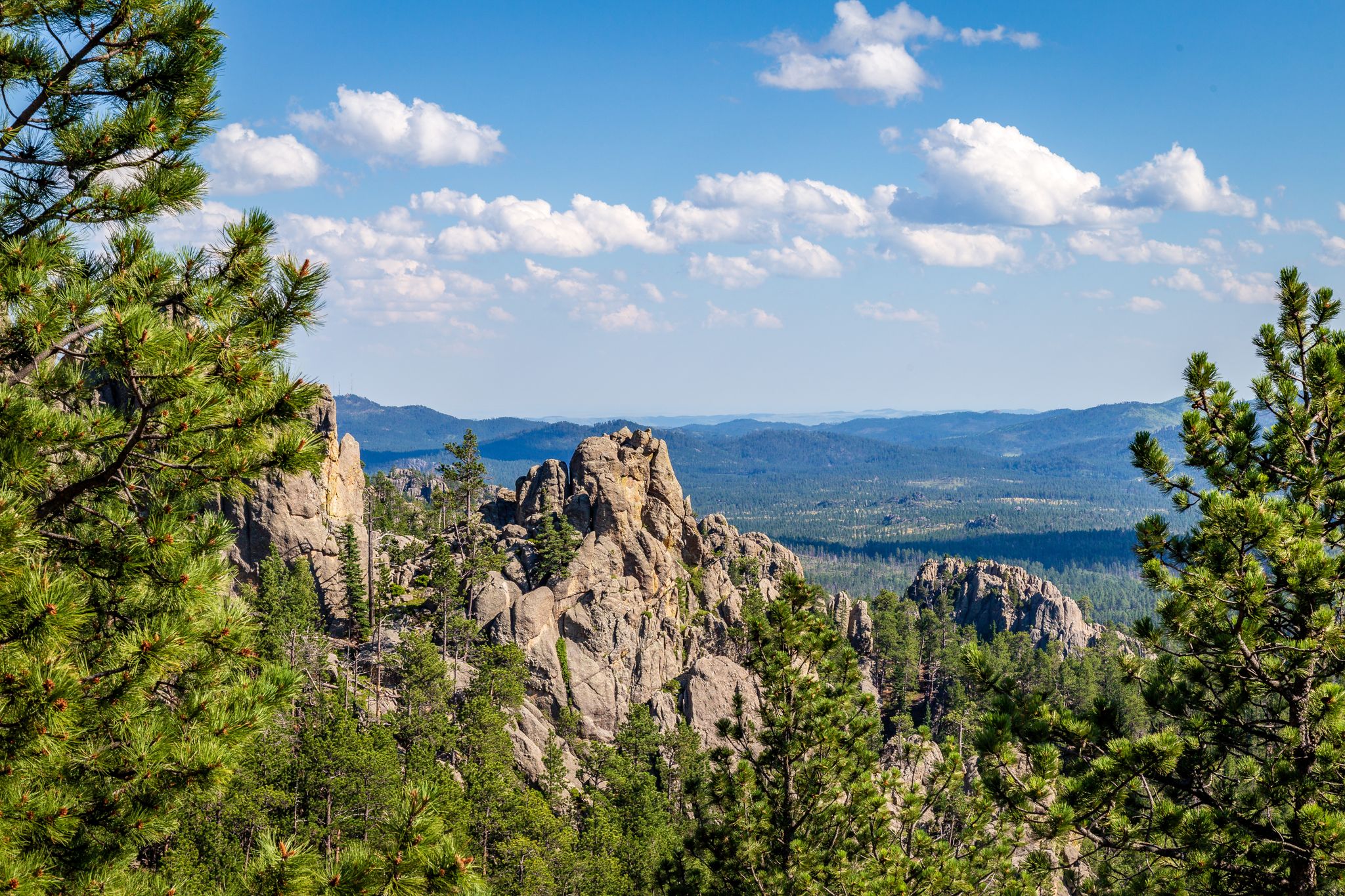
The Black Hills are fossil-rich and from a distance the darker and denser vegetated ridgelines make them appear dark or even black.
1
0

Along this section of the George S. Mickelson Trail, you'll cross several wooden bridges over Rapid Creek, offering incredible views as you're elevated above the water, surrounded by lush forest.
0
0
At Dumont Trailhead, you'll find a water refill station to keep your hydration levels up before heading out. Restrooms are available for a quick pit stop, and there are picnic tables nearby if you'd like to relax or have a snack before heading back out onto the trail.
0
0
You’ll come across several wooden bridges along the Mickelson Trail. These old railroad crossings give the route a strong sense of place and a real Wild West feel. They’re often surrounded by forest and open views, with creeks or canyons running below.
0
0
Mystic is one of the quieter trailheads on the Mickelson Trail, making it a good spot to start if you’re looking to avoid crowds. You’re surrounded by forest and old railroad history here. The trail used to be a railroad line, and you’ll see signs of that along the way, including tunnels and trestles. It’s a solid access point whether you’re biking or hiking. From here, you can head north toward Rochford or south toward Hill City, both sections are scenic and not too steep.
0
0

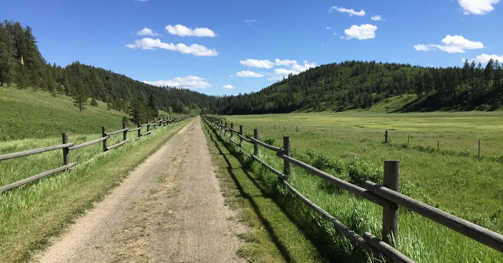
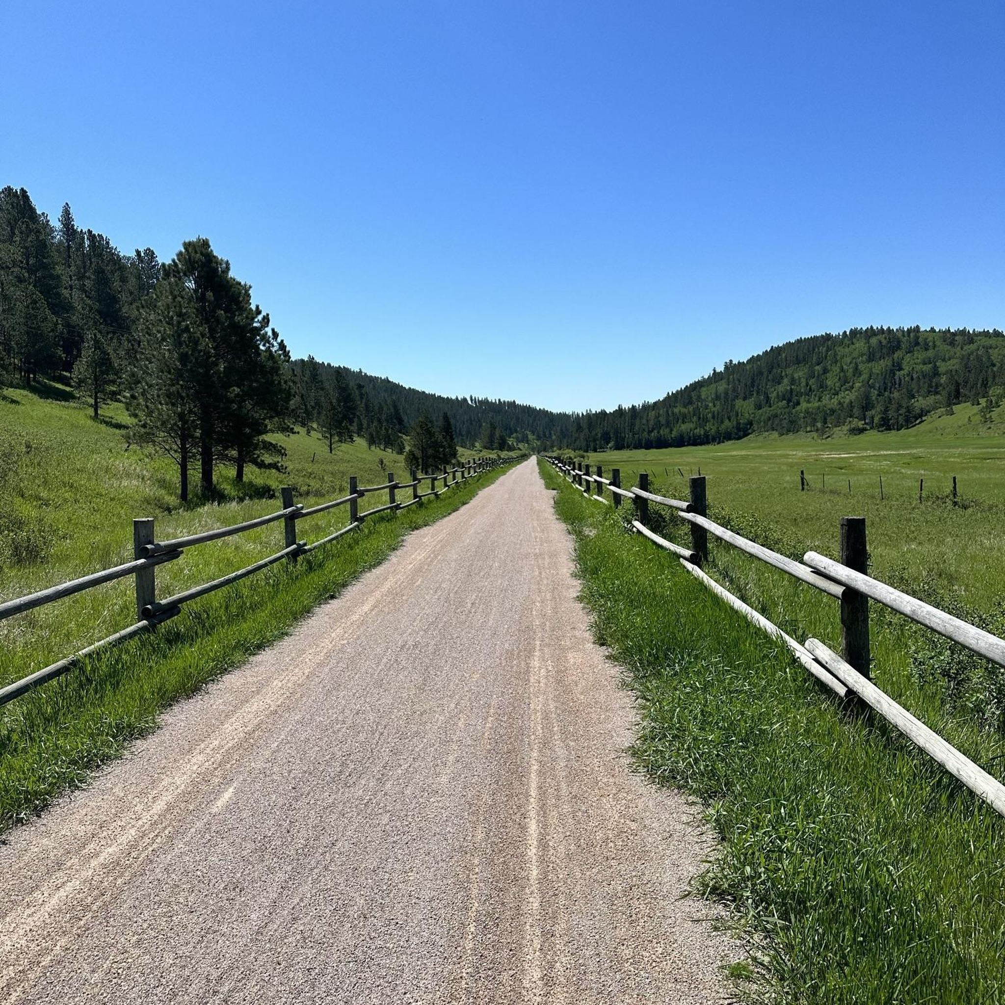
After following Rochford Road for a while, the Mickelson trail switches back to unpaved roads. This section is on wonderful gravel and packed dirt. The scenery around the path in wonderful and with no cars around, you can enjoy it at your own pace.
0
0
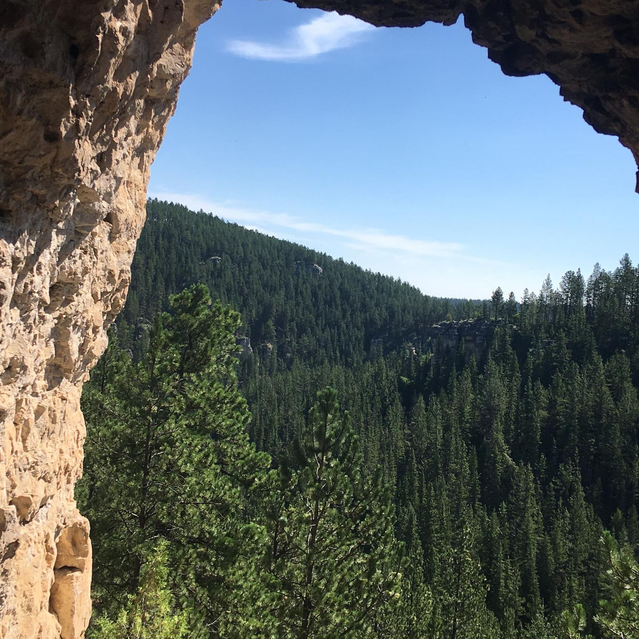
There are a good number of tunnels along the George S. Mickelson Trail, and this one’s a standout. Carved right into the rock and surrounded by forest, it’s a cool little detour from the open trail. It gets pretty dark inside, so having a flashlight or headlamp on hand isn’t a bad idea.
0
0
You’ll see Ponderosa Pines all over the Black Hills, as they’re the most common tree in the area. These tall, straight pines grow in big numbers and give the forest its distinct look (and scent, their bark smells a bit like vanilla when it’s warm out). They’re great for shade on hot days and make the trails feel peaceful and quiet. If you’re hiking anywhere near Custer, Sylvan Lake, or along the Centennial Trail, you’ll definitely be walking through them.
0
0
ローレンス郡の人気観光スポット

komootモバイルアプリでインスピレーションを得よう


