シャモソンの峠・トップ16
風景を楽しんだり、上りや下りを満喫したり、峠には楽しみ方がたくさんあります。シャモソンの素晴らしい峠の一覧を参照して、思い出に残るアドベンチャーに出かけましょう。コミュニティのメンバーがコミュニティのために投稿した峠のハイライトは、他のユーザーが実際におすすめする情報なので、どれも信頼できるものです。気に入った峠にさっそく向かってみましょう。
最終更新日: 10月 26, 2026
コル・ド・ラ・クロワ・ド・クール
ハイライト • 山道
翻訳を表示中
役立つ情報 は

コル・デュ・ラン
ハイライト • 山道
翻訳者 Google •
役立つ情報 は

今すぐサインアップして、こんな場所を発見しよう
最高のシングルトラック、ピーク、その他のエキサイティングなアウトドアスポットのおすすめを受け取ろう。
シオンからサネッチ峠
ハイライト (セグメント) • 山道
翻訳者 Google •
役立つ情報 は

コル・ド・ラ・クロワ(1778m)
ハイライト • 山道
翻訳者 Google •
役立つ情報 は

ラ・ショー=ロンド山頂
ハイライト • 山頂
翻訳者 Google •
役立つ情報 は

無料でサインアップして、さらに多くの山道を発見しましょう シャモソンでの。
すでにアカウントをお持ちですか?
無料アカウントで今日から始めよう
次の冒険が待っています。
コミュニティからのヒント

Les Diableretsからの美しい登り。問題なくこなせます(Col du Pillonのすぐ後でも)。特に最後の1キロは素晴らしい景色が楽しめ、頂上からはモンブランの氷河が見えます(?)。頂上には小さなバーがありますが、コーヒーはありませんでした(9月)。
0
0

Beautiful, smooth, never extremely steep and only a few cars even on weekends.
0
1

The rewards are the magnificent view of the Val de Bagnes and the cheese crust at the refreshment bar at the Col du Lein
2
0

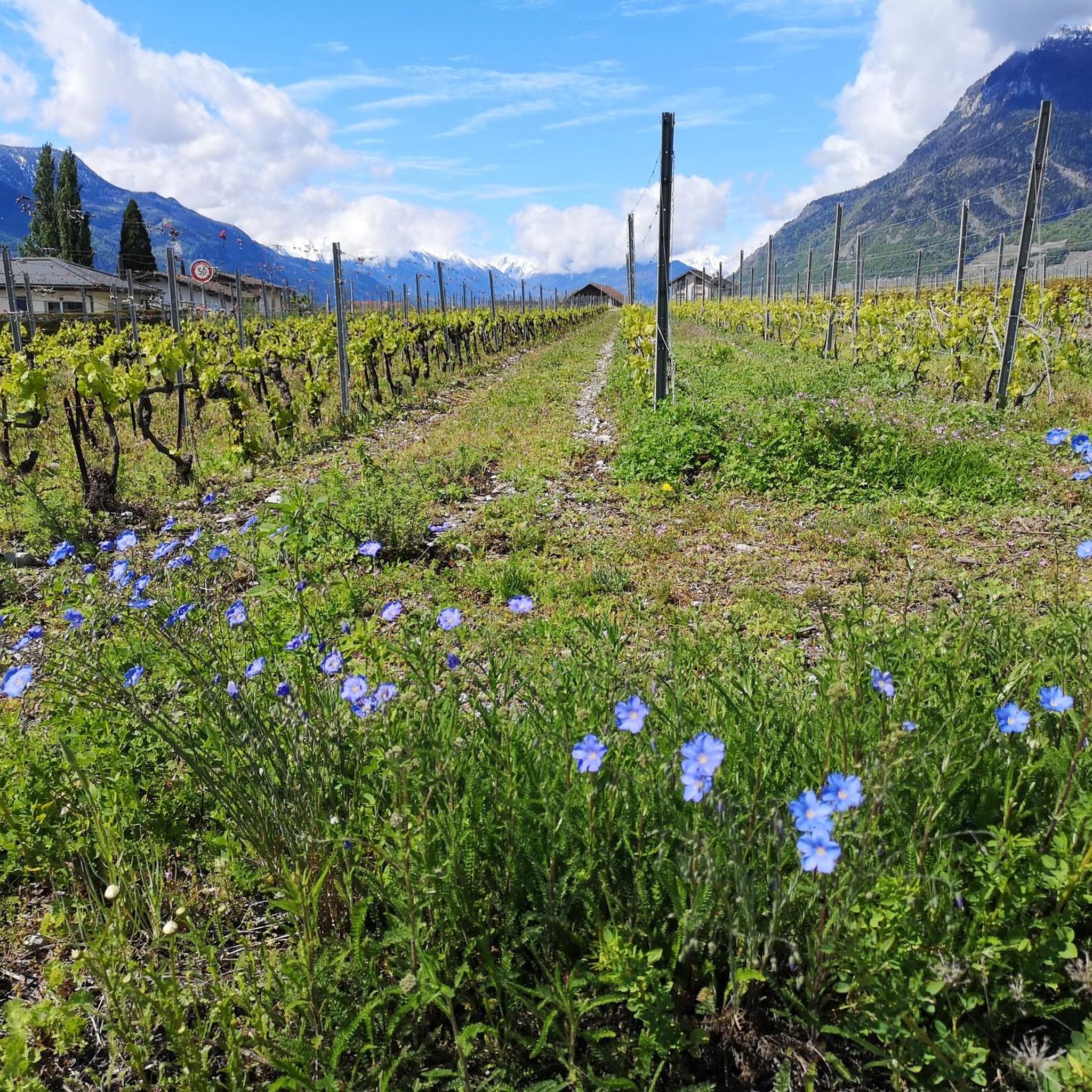
Departing from the Chablais vineyards, the Col de la Croix is 22 kilometers long and 1,300 meters high, ending in an alpine landscape above the Villars resort.
2
0


A pleasant, grassy mountain pass, with spectacular views of the Valais mountains. The pass is pastoral and synonymous with the typically Swiss mountain terrain. This pass is connected to many popular areas by a variety of trails, making it an excellent place for all types of walks and cyclists.
2
0

The Col de la Croix de Coeur was participating in the 2023 Giro d'Italia. The road surface has been improved for the race, but near the summit some gravel remains. The Pass can be crossed easily by road bike and is generally open at the end of May, beginning of June depending on snow conditions. You may want to check in advance that the Pass is open.
0
1
A high point on the ridge above the front part of the Verbier ski and mountain bike resort. From here you will have a fantastic view of the resort, as well as the Valais mountains. Best of all, there's a diverse range of trails leading to this location, so there's a little bit for everyone. It's a great place to enjoy your sandwich before heading back down the slopes.
1
0

komootモバイルアプリでインスピレーションを得よう


