アイヨンの絶景の山頂・トップ20
絶景を目指して登るのであれ、達成感のために登るのであれ、山頂を訪れることで、アイヨンの美しい自然をもっと満喫することができます。20
もの選択肢の中から、制覇する山頂を決めるのは簡単ではありません。スムーズに次の冒険で目指す山頂を選べるように、アイヨンの素晴らしい山頂をこのガイドにまとめました。
最終更新日: 8月 31, 2026
ツェウジエ湖貯水池
ハイライト • 湖
翻訳者 Google •
役立つ情報 は

ゲルテンヒュッテ(SAC)
ハイライト • 山小屋
翻訳者 Google •
役立つ情報 は

今すぐサインアップして、こんな場所を発見しよう
最高のシングルトラック、ピーク、その他のエキサイティングなアウトドアスポットのおすすめを受け取ろう。
無料新規登録
ベルクレストラン・ビュールベルク
ハイライト • レストラン
翻訳者 Google •
役立つ情報 は

コル・デュ・ラウィル(2,425m)
ハイライト • 山道
翻訳者 Google •
役立つ情報 は

ラウエネホルン(ラウエネホーレ)山頂
ハイライト • 山頂
Summer
Route name - From Lauenen via Turnelssattel - Route type - Alpine hike
Difficulty - T3 - Altitude gain - 1250 m - …
翻訳者 Google •
役立つ情報 は

無料でサインアップして、さらに多くの山を発見しましょう アイヨンでの。
無料新規登録
すでにアカウントをお持ちですか?

コミュニティからのヒント


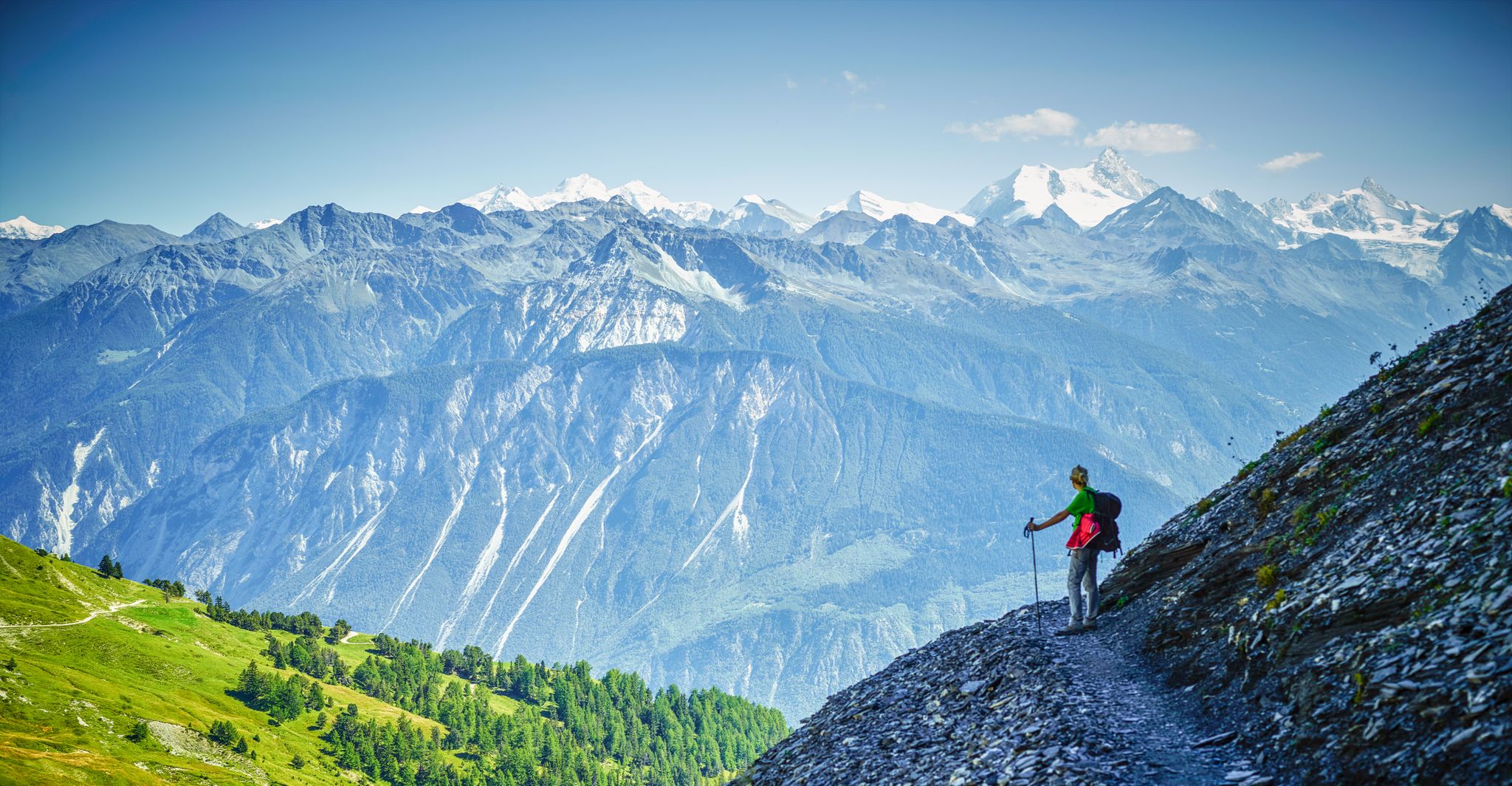
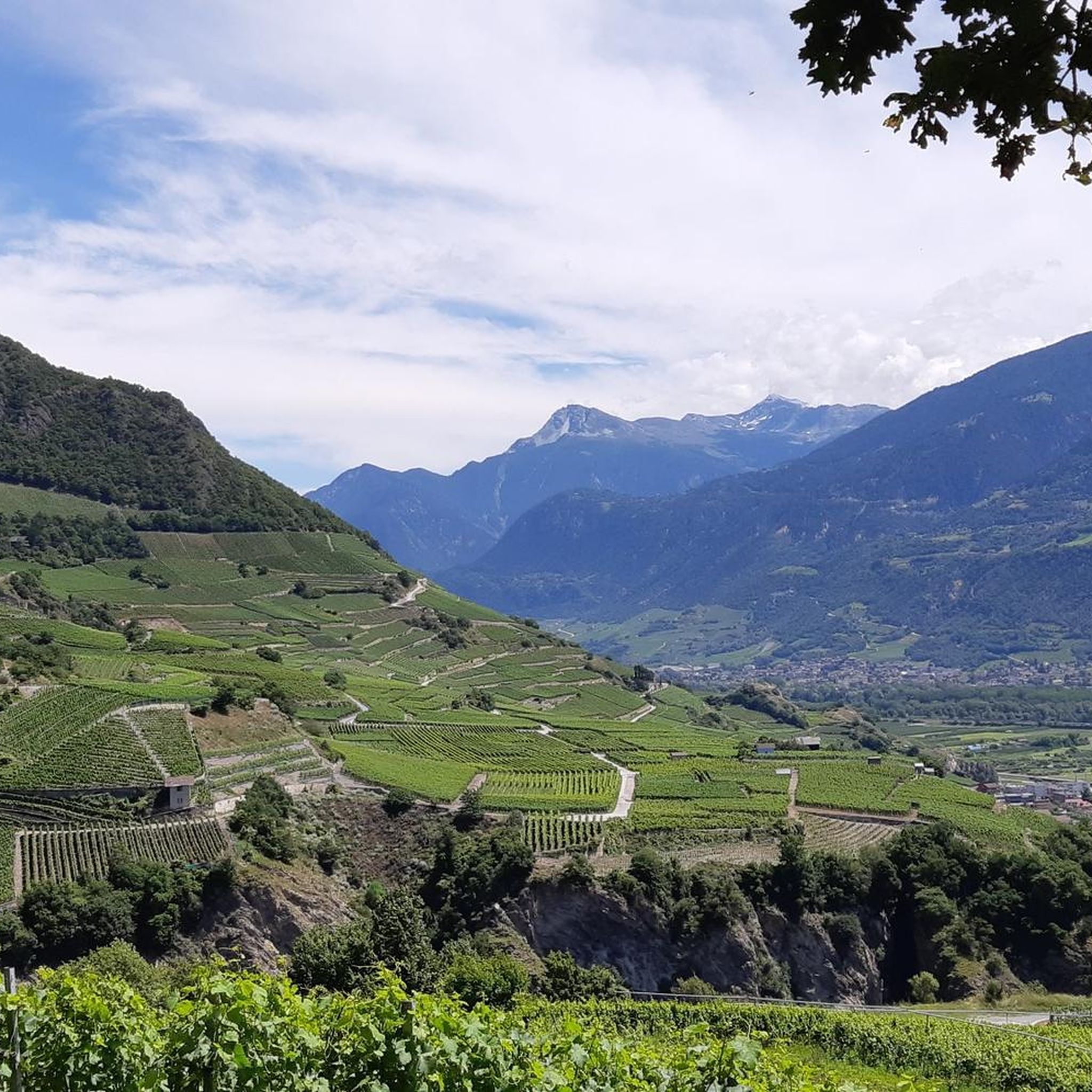
The Lauenenhorn is a secluded summit overlooking Lauenen and Gstaad – perfect for those who want to venture off the beaten track. The view from the summit is magnificent: Wildhorn, Giferspitz, Arpelistock, Geltenhorn, and far into the Valais and Bernese Oberland 🌄👀. Ascent options: 🔹 Alpine trail from the Wasserngrat via Wändliflueh (T2–T3, challenging) 🔹 Direct ascent from Lauenen (via Lengweid) possible, but steep! Characteristics: 🔸 Barely marked trails – some without paths 🔸 Surefootedness, good fitness, and orientation required 🔸 Very quiet – with a bit of luck, you'll be alone at the summit!
0
0
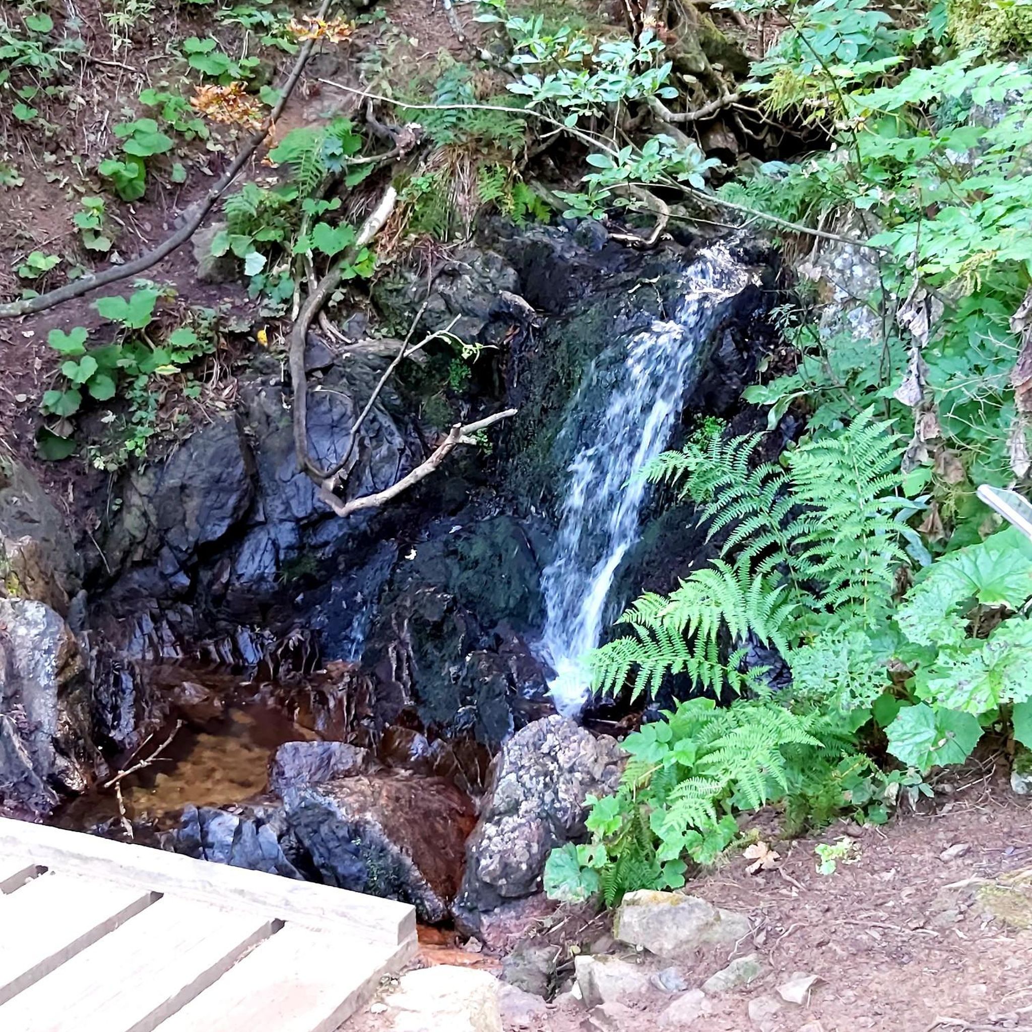
The hike from Lauenensee to the Geltenhütte SAC is a fantastic mountain hike with waterfalls, alpine scenery, and spectacular scenery ⛰️💧🌿. Route: Starts at the Lauenensee parking lot (CHF 15). The trail initially leads leisurely along the lake, then steadily ascends through the Gelten and Lauibach valleys. Impressive waterfalls and rock faces abound. You reach the Geltenhütte (2,002 m) after about 2.5 to 3 hours (approx. 620 m elevation gain). Highlights: ✅ Idyllic Lauenensee right at the start ✅ Wild waterfalls ✅ Quiet, well-marked mountain trail ✅ Refreshments & overnight stay at the Geltenhütte SAC 🛏️🍲 ✅ Possibility of extending the hike, e.g. B. to the Arpelistock Equipment: Sturdy hiking boots 🥾, weather protection 🧥, plenty of water & snacks 💧🥪, and possibly walking poles 🦯. In early summer, there may be patches of snow – surefootedness is required. Recommendation: Set off early in the morning ⏰, especially on warm days – the trail is exposed to the sun.
1
1

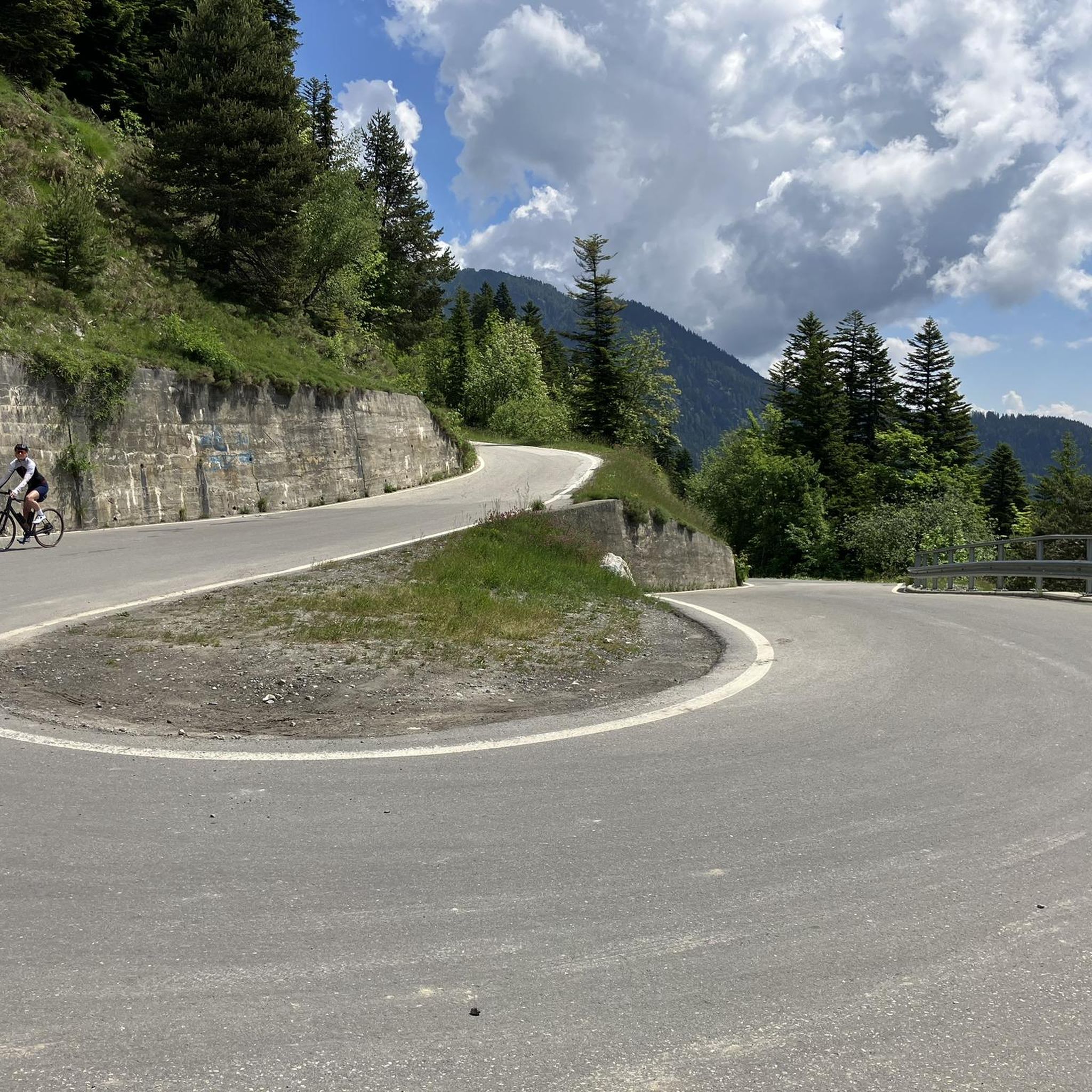
From the Iffigenalp, a hiking trail leads through the forest and then along paths blasted into the rock to the pass. Together with the many waterfalls and the plateau, I found this pass to be magnificent.
0
0

magnificent view of the lake and the surrounding mountains
0
0

At the Rawil Pass you are at an altitude of 2,429 meters and on the border between the cantons of Bern and Valais. It is good that the plans from the 1980s to build a road and tunnel here were rejected by a popular initiative, because this means that the mountain idyll continues to prevail here instead of noise.
0
0
An ideal starting point for alpine hikes and mountain tours! 🥾⛰️ Perfect for a well-deserved break and overnight stay.🌄🍽️
0
0

The route around the lake has a few inclines and obstacles, but it is also manageable for younger children without any problems. In addition to fantastic panoramic views, there are also a few waterfalls to be admired.
1
0

komootモバイルアプリでインスピレーションを得よう


