ドゥルエロデラシエラでののおすすめグラベルライド
19
ライダー
5
ライド
komootがまとめたドゥルエロデラシエラでののおすすめグラベルライドを参考にして、グラベルライドの魅力を最大限に楽しみましょう。難易度の高い登り坂や絶景のトレイルなど、あらゆるルートの中から厳選したドゥルエロデラシエラでののグラベルライドをご覧ください。
最終更新日: 8月 26, 2026
8
ライダー
55.1km
05:23
1,240m
1,240m
難しいグラベルライド. 標準以上のフィットネスレベルが必要です。 全般的に舗装された状態です。あらゆるスキルレベルに適しています。
6
ライダー
20.9km
01:41
170m
170m
中程度のグラベルライド. ある程度のフィットネスレベルが必要です。 全般的に舗装された状態です。あらゆるスキルレベルに適しています。

無料新規登録
2
ライダー
65.4km
05:12
950m
950m
難しいグラベルライド. 標準以上のフィットネスレベルが必要です。 全般的に舗装された状態です。あらゆるスキルレベルに適しています。
2
ライダー
26.8km
01:57
370m
370m
中程度のグラベルライド. ある程度のフィットネスレベルが必要です。 全般的に舗装された状態です。あらゆるスキルレベルに適しています。
1
ライダー
21.5km
01:36
320m
320m
中程度のグラベルライド. ある程度のフィットネスレベルが必要です。 全般的に舗装された状態です。あらゆるスキルレベルに適しています。
おすすめのツアーは他のkomootユーザーが実際に経験した何千ものアクティビティに基づいています。


コミュニティからのヒント


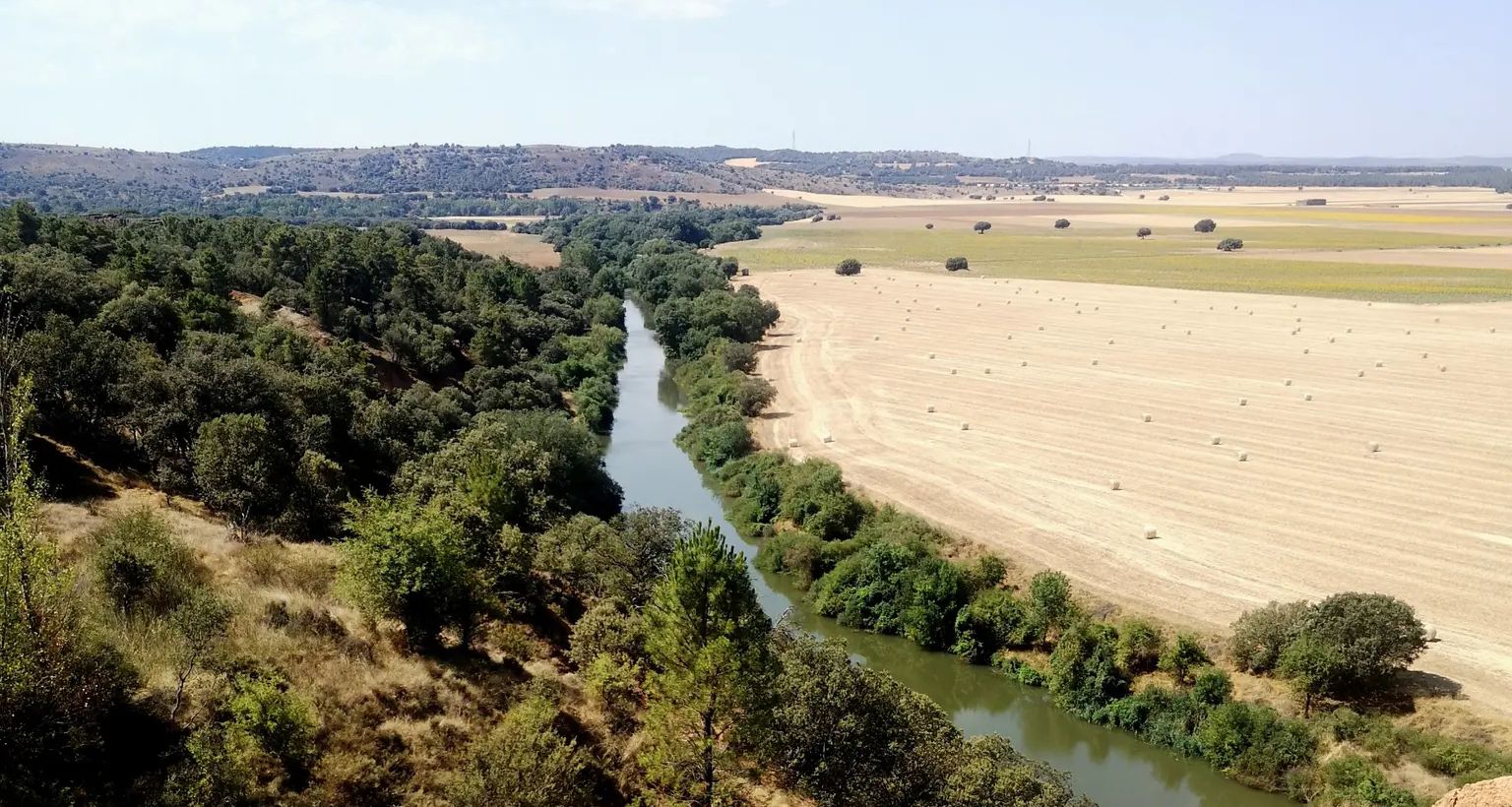
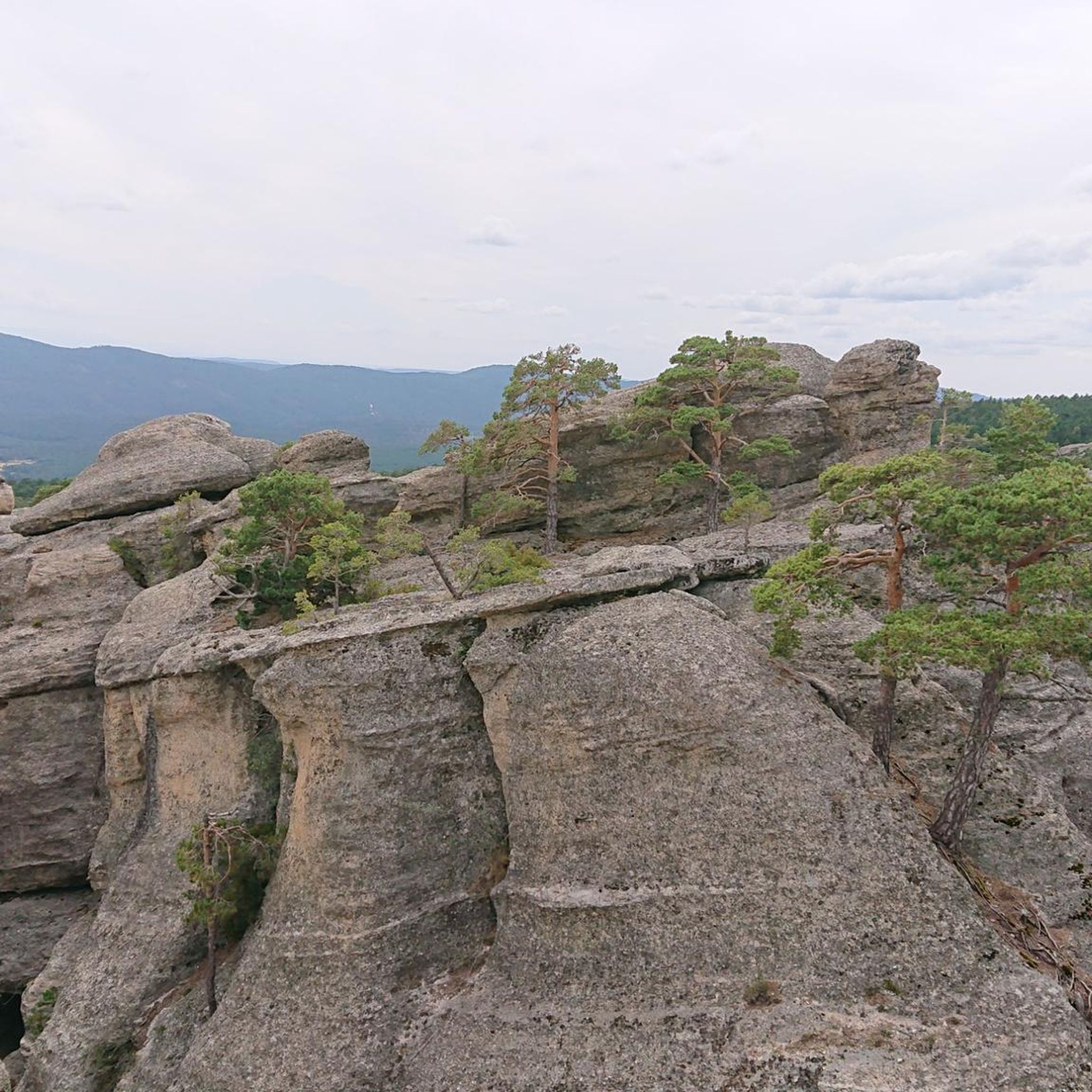
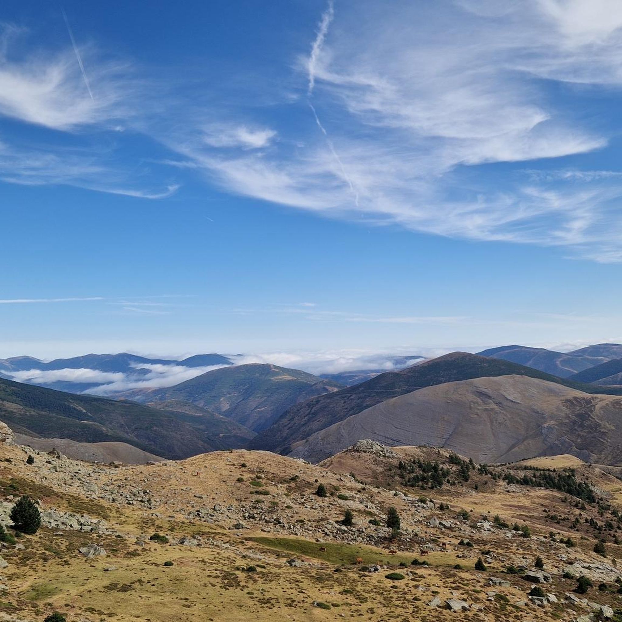
Stage 2. Duruelo de la Sierra/Soria 69 kilometers. 510 meters of elevation gain. Duruelo has hotels, restaurants, and grocery stores. It is the town where the Duero River originates at the foot of the Urbión Peaks. The Senda del Duero Nature Trail begins at Fuentes del Duero, where the river officially originates, at an altitude of 2,100 meters, a landscape of crushed granite shaped by the fierceness of the high mountains. The route leaves the town along the Senda del Duero. The posts are located at a cattle gate, and there are hiking and mountain bike trail signs in several directions. The path is also marked with the red and white stripes of the GR-14 trail. It crosses a small, inconspicuous slope on a grassy slope and descends some steps to the fantastic path that runs along the riverbank—the perfect way to start this cycle tour. The river path is about seven kilometers long, with the tricky sections at the end, where rain and flooding have stripped the road bare, requiring careful adjustment to squeeze gravel tires between the stones. There's also a short stretch of stairs that isn't suitable for cycling. The path passes over the Soria Bridge (17th century) and climbs the slopes of Mount Peña Rubia, far from the river. It's the longest and steepest climb of the cycling day. The end is impossible; the path is ridden with roots and rills from runoff, but it only takes a few minutes. Soon, the forest track appears, descending at full speed to Molinos de Duero, another iconic village of pine-forest architecture with its May pine tree in the square and a landmark for road cycling. The red markers of the Duero Path pass under the road and continue toward Vinuesa along the route of an ancient Roman road, which is quite difficult for gravel bikes due to the poor condition of the surface. The comfortable option for bicycles with panniers is the road. Vinuesa is a good place to grab a snack, a section of a branch of the Cañada Real Segoviana (Royal Segovian Trail) that reaches from the Cameros region of Rioja via the Puerto de Santa Inés. The pines of the Revinuesa Valley are magnificent; they have always been renowned for their high-quality wood and their proud, solemn bearing. For centuries, they have shaped the economic pulse of forest resources in the Pinares region.
0
0
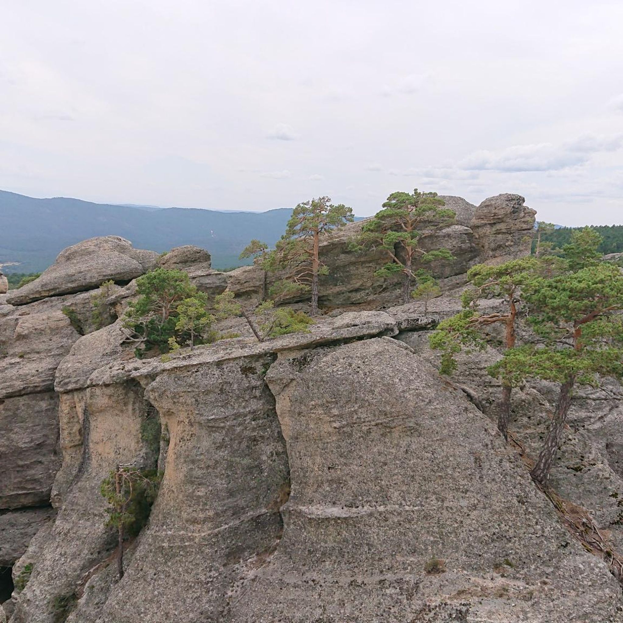
A curious large stone, it moves but cannot be dragged.
0
0

One of the best preserved necropolises. It has 140 tombs from between the 11th and 13th centuries.
0
0
ドゥルエロデラシエラでのの人気観光スポット

komootモバイルアプリでインスピレーションを得よう


さらに探索
他の地域の最高のグラベルライドを見てみましょう。
