オーバージンメンタール-ザーネンの天然記念物・トップ20
オーバージンメンタール-ザーネンが誇る美しい風景を見てみたいなら、オーバージンメンタール-ザーネンの素晴らしい天然記念物・トップ20
に行ってみましょう。あなたにぴったりの場所が見つかるよう、素晴らしい天然記念物を探索するために必要なすべての情報を集めました。次のアウトドアの冒険に出かける計画の参考にしましょう。
最終更新日: 8月 18, 2026
シンメン滝
ハイライト • 滝
翻訳者 Google •
役立つ情報 は

ラウエンゼー湖
ハイライト • 湖
翻訳者 Google •
役立つ情報 は

今すぐサインアップして、こんな場所を発見しよう
最高のシングルトラック、ピーク、その他のエキサイティングなアウトドアスポットのおすすめを受け取ろう。
無料新規登録
ジーベンブルンネン
ハイライト • 滝
翻訳を表示中
役立つ情報 は

Iffigfall
ハイライト • 滝
翻訳を表示中
役立つ情報 は

Iffigsee
ハイライト • 湖
翻訳を表示中
役立つ情報 は

ガストローゼン
ハイライト • 自然記念物
The Gastlosen near Jaun in the canton of Fribourg are known for their impressive, dolomite-like rock formation and offer a wide range of hiking and climbing opportunities. …
翻訳者 Google •
役立つ情報 は

ヴァルバッハ渓谷
ハイライト (セグメント) • 峡谷
翻訳を表示中
役立つ情報 は

コル・デュ・ラウィル(2,425m)
ハイライト • 山道
翻訳者 Google •
役立つ情報 は

ムーンスケープ
ハイライト • 自然記念物
翻訳者 Google •
役立つ情報 は

ロール自然保護区(ラウエネン)
ハイライト • 自然記念物
Rohr is a vast, flat moorland and floodplain area directly above Lauenen – nestled in a tranquil, wildly romantic landscape with reed beds, the …
翻訳者 Google •
役立つ情報 は
無料でサインアップして、さらに多くの自然記念物を発見しましょう オーバージンメンタール-ザーネンでの。
無料新規登録
すでにアカウントをお持ちですか?
無料アカウントで今日から始めよう
次の冒険が待っています。
ログインまたは登録
オーバージンメンタール-ザーネン周辺で人気
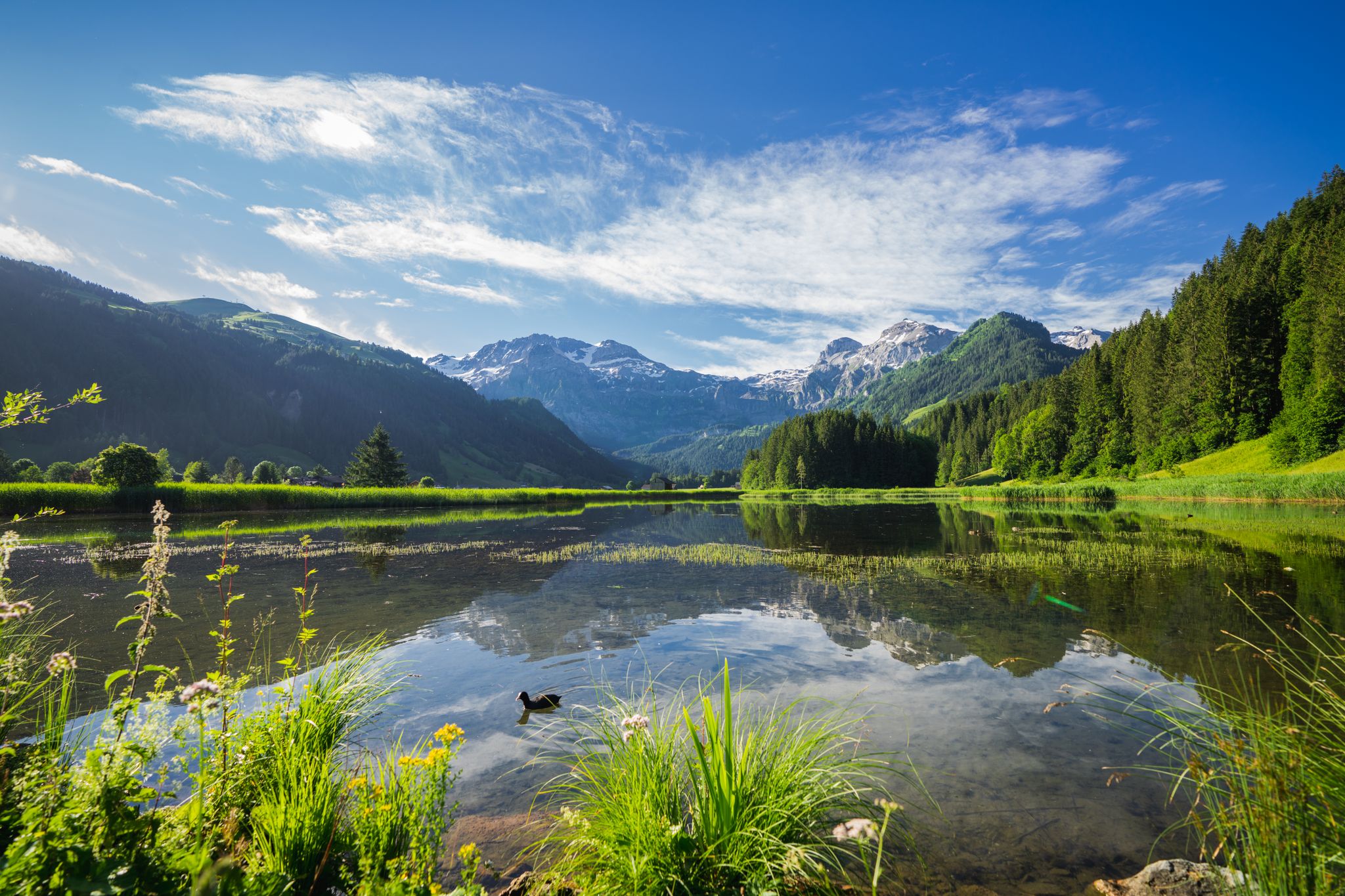
Alpine flowers and lunar craters – hiking in the Bernese Oberland

スイスのバイクパッキング希望1000の11ステージ
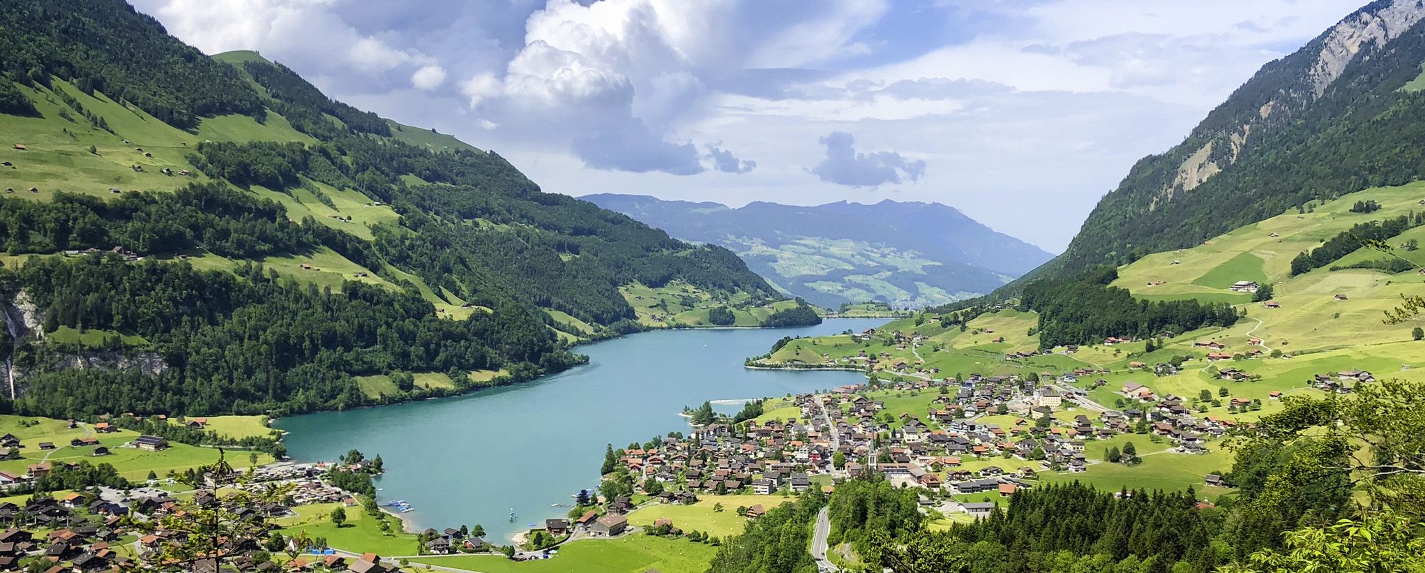
スイスアルプス前山地の画集のような景色 – レイクスルート
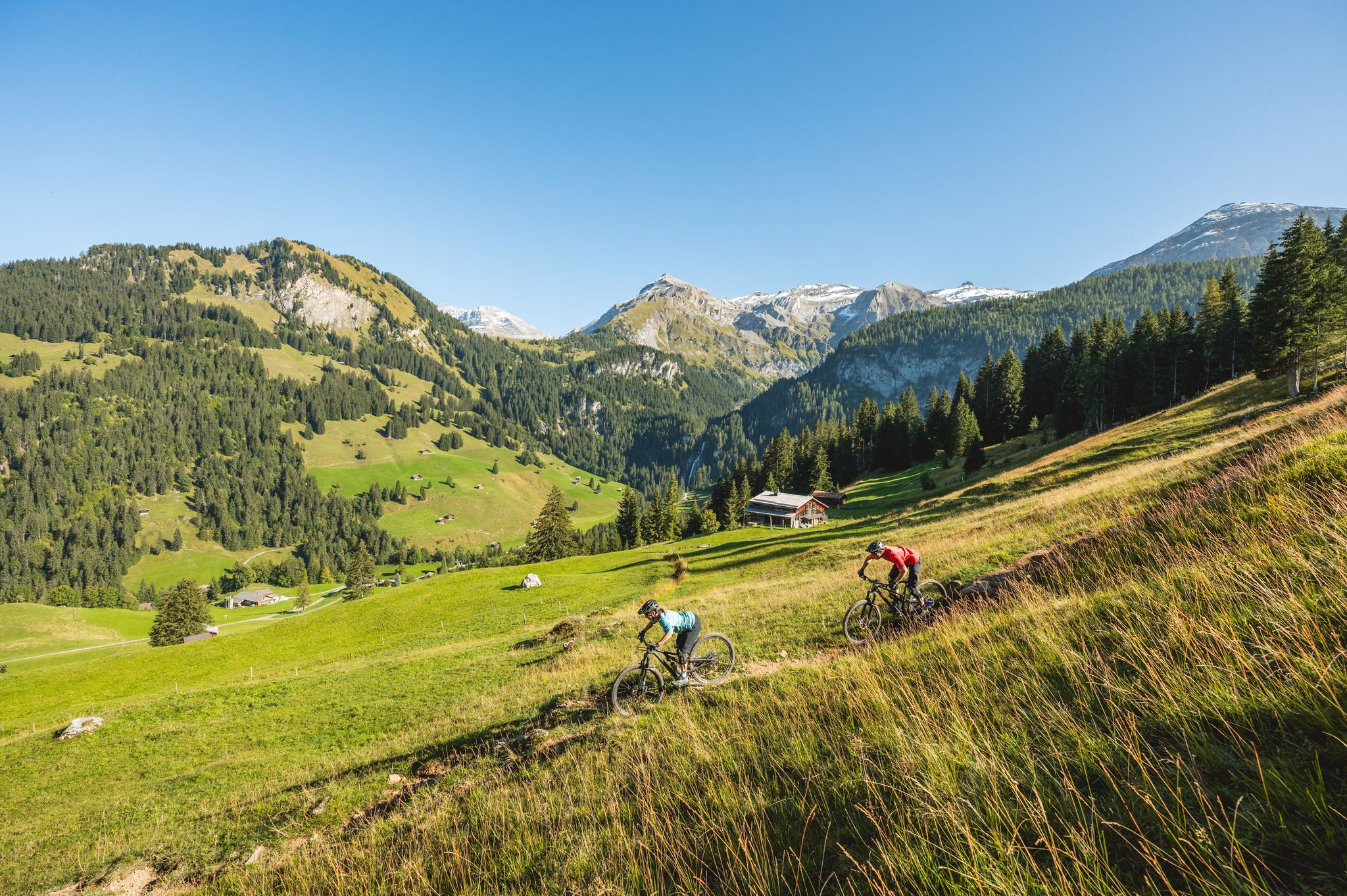
Short yet speedy: quick MTB rides in Lenk Simmental
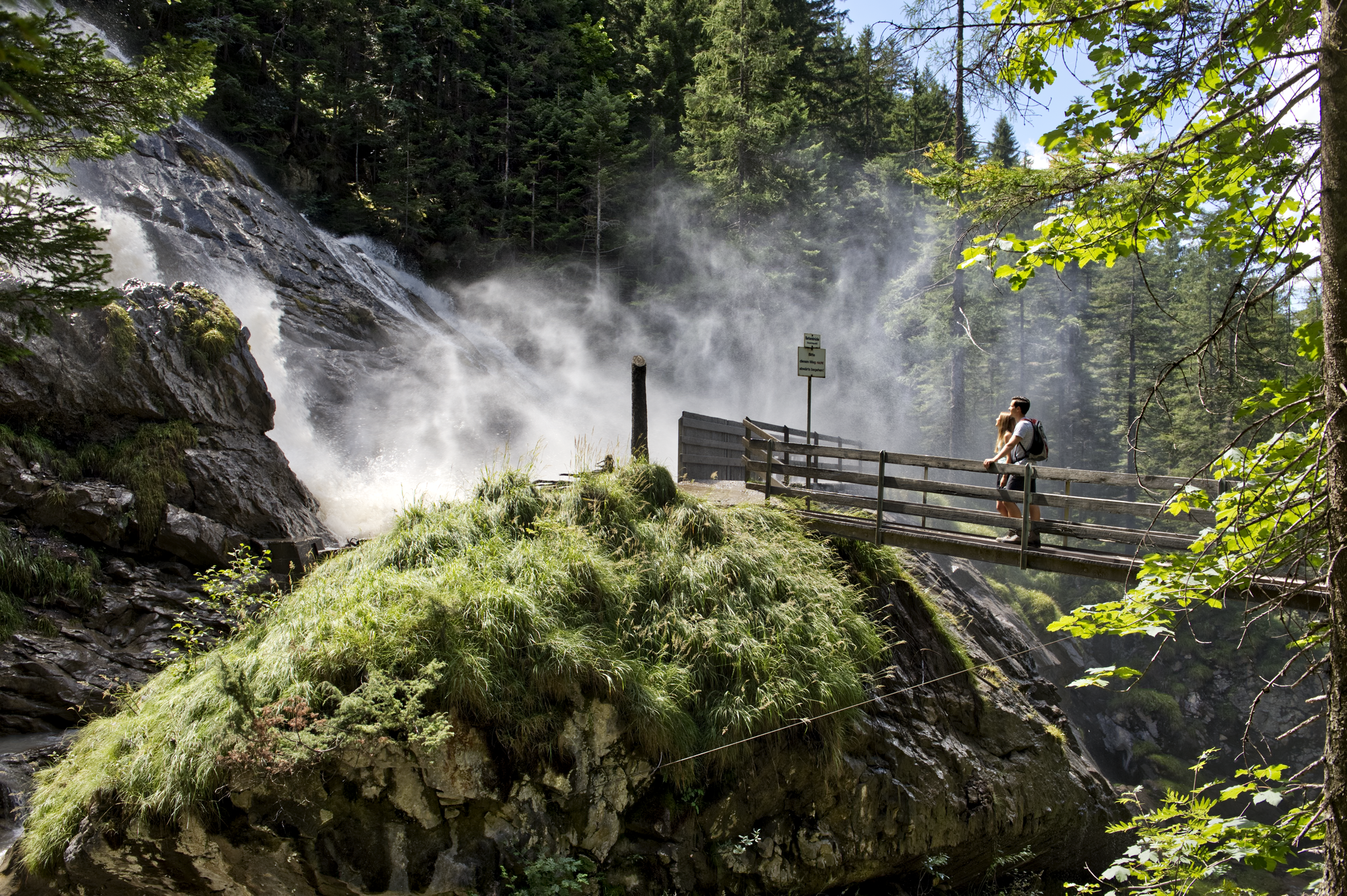
Coolcation instead of the heat in Lenk-Simmental
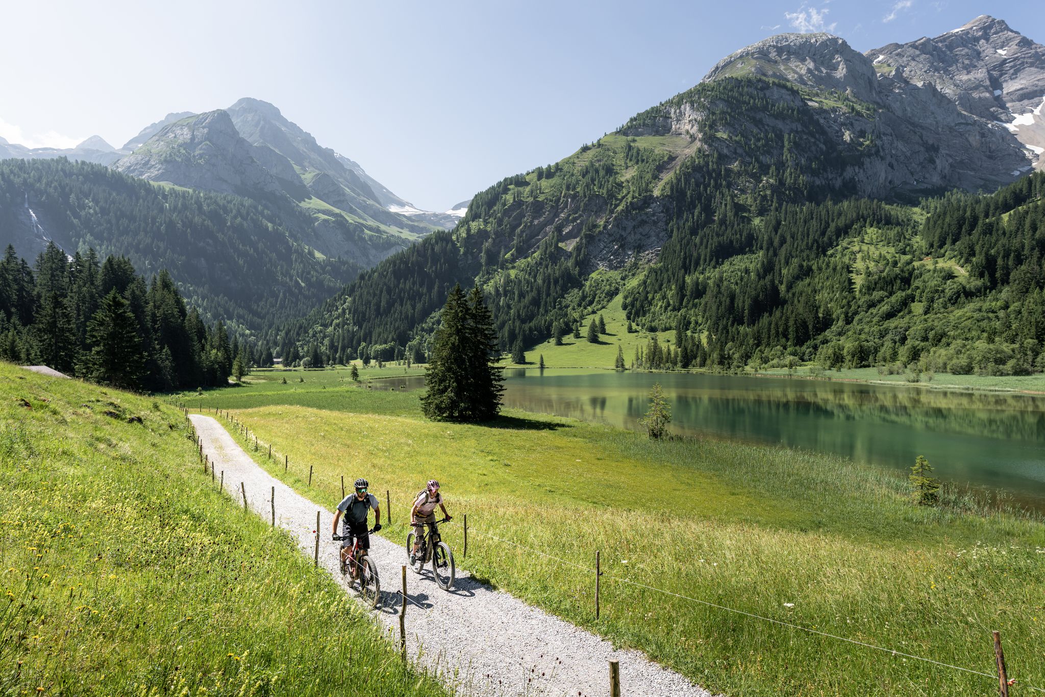
Time for more MOUNTAINBIKE – our 10 highlights
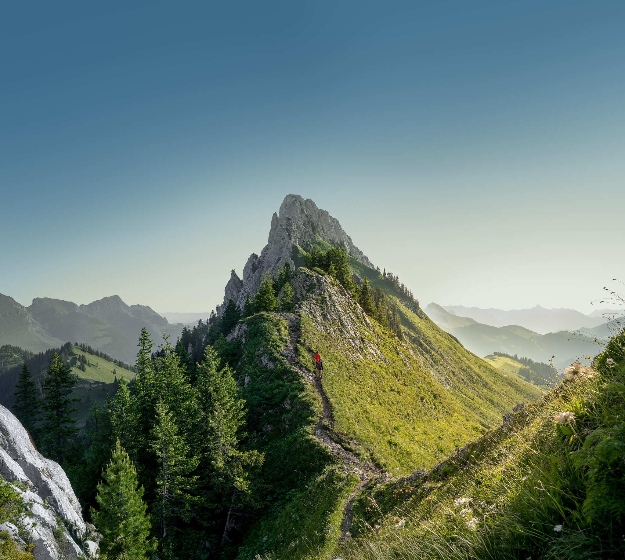
Zeit für mehr WANDERN – unsere 10 Highlights
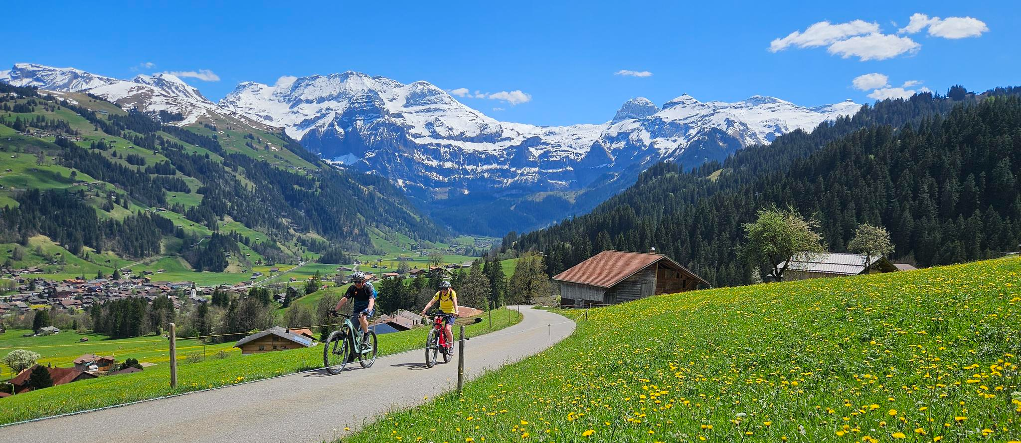
Finest routes for pleasure cyclists – Lenk and the Simmental
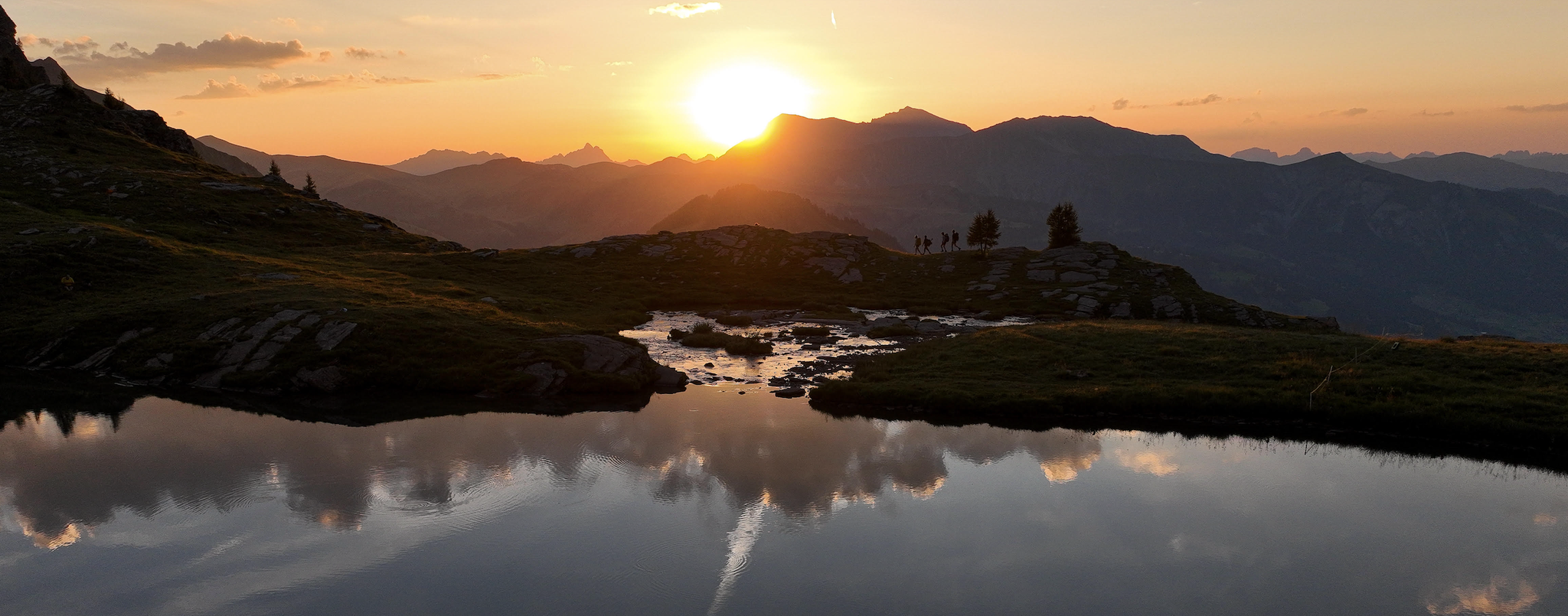
Late Summer: Great Hiking in Adelboden-Lenk-Kandersteg
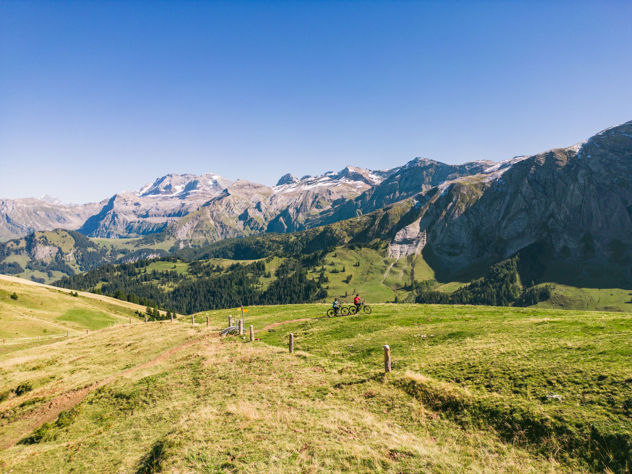
Discover the most beautiful MTB trails in Lenk-Simmental


コミュニティからのヒント


Rohr Nature Reserve near Lauenen (BE) Rohr is a vast, flat moorland and floodplain area directly above Lauenen – nestled in a tranquil, wildly romantic landscape with reed beds, the Lauibach stream, and characteristically shaped haystacks, the so-called "Tristen." Thanks to its diverse flora and birdlife, it is considered a floodplain area of national importance. 🚶 Outdoor Circular Trail – Tour Data A family-friendly circular trail takes approximately 1 hour (5.4 km, 10–11 m elevation gain) through the area – popular in both summer and winter. Difficulty: easy (T1-T2), also ideal for strollers. Route: Starts from Lauenen (e.g., Hotel Alpenland/Lauenen Rohrbrücke), along the Lauibach stream and later through flat moorland – with an optional extra loop to the Oey (1.8 km). Winter: As a cleared winter hiking trail and cross-country ski trail (skating/classic). 🌿 Pure nature: hedgerows, reed beds, bird nesting sites, and natural management with litter mowing and barnacle construction – demonstrates traditional mountain meadow management. Picturesque in winter: snow-covered plains, visible logs and haystacks – tranquil, sunny, and atmospheric. Infrastructure: Accessible circular route with low elevation gain, ideal for walkers and runners.
0
0

It's great to cool off in Lake Iffigalp, but please be careful!
0
0
Iffigbach Fall always a welcome cooling in summer
0
0

イフィグ滝は、道のカーブから非常によく見えます。水がここに100メートル以上落下するのは印象的です。これらは、ゲルテン・イフィゲンという大きな自然保護区にあります。
3
0

From the Iffigenalp, a hiking trail leads through the forest and then along paths blasted into the rock to the pass. Together with the many waterfalls and the plateau, I found this pass to be magnificent.
0
0
オーバージンメンタール-ザーネンでのの人気ルート
オーバージンメンタール-ザーネンでのの人気観光スポット

komootモバイルアプリでインスピレーションを得よう


探していたものは見つかりませんでしたか?
地域ごとのトップハイライトをチェックして、さらに素晴らしい自然のモニュメントを見つけましょうオーバージンメンタール-ザーネンでの:
さらに探索
これらのガイドで、最高の洞窟を探す範囲を広げましょうオーバージンメンタール-ザーネンでの:
