デースバッハの天然記念物・トップ20
デースバッハが誇る美しい風景を見てみたいなら、デースバッハの素晴らしい天然記念物・トップ20
に行ってみましょう。あなたにぴったりの場所が見つかるよう、素晴らしい天然記念物を探索するために必要なすべての情報を集めました。次のアウトドアの冒険に出かける計画の参考にしましょう。
最終更新日: 10月 11, 2026
シュヴァルツァ滝(シュヴァルツァタール)
ハイライト (セグメント) • 滝
翻訳者 Google •
役立つ情報 は

メウラシュタイン岩石群
ハイライト • 自然記念物
翻訳者 Google •
役立つ情報 は

今すぐサインアップして、こんな場所を発見しよう
最高のシングルトラック、ピーク、その他のエキサイティングなアウトドアスポットのおすすめを受け取ろう。
シュヴァルツァ湧水
ハイライト • 自然記念物
翻訳者 Google •
役立つ情報 は

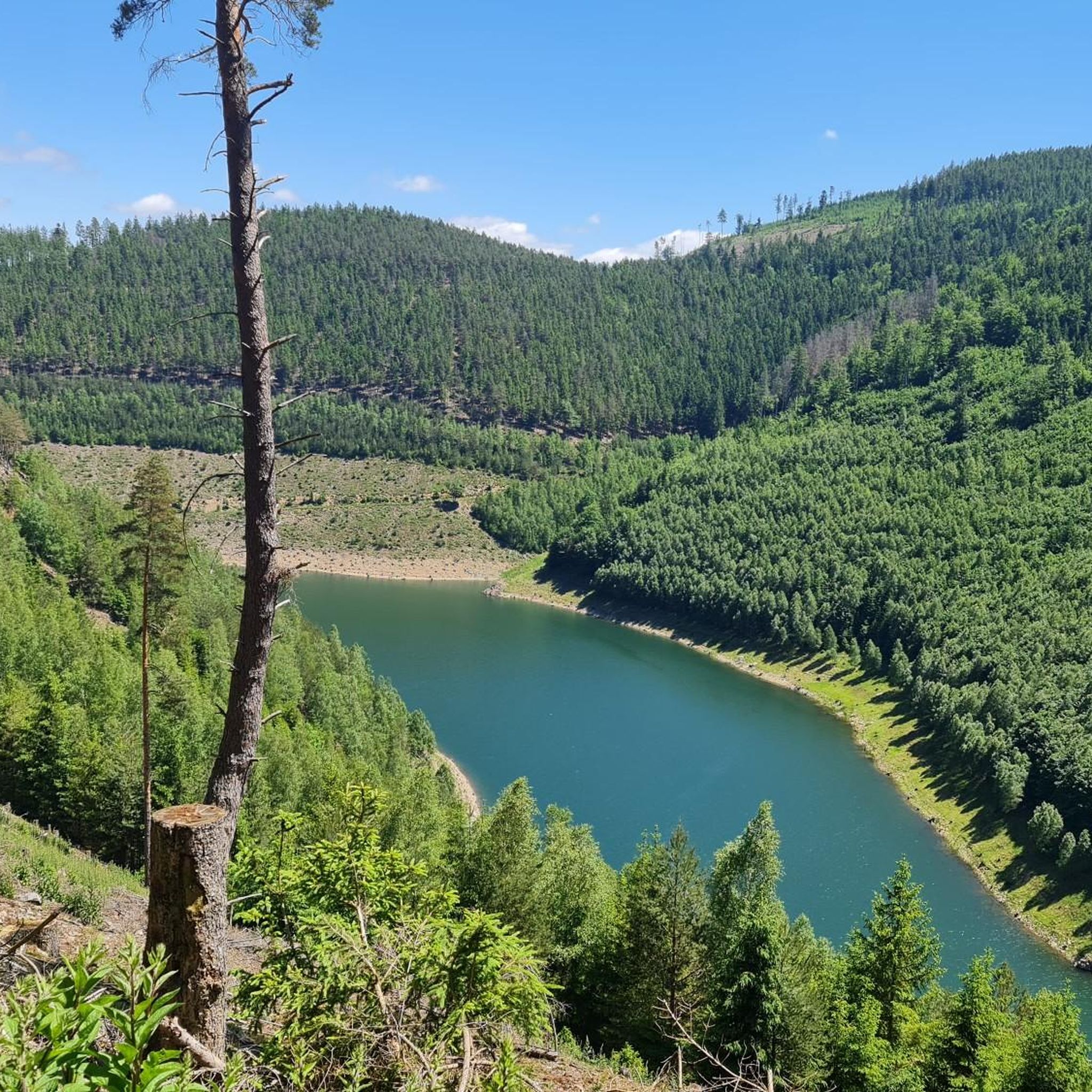
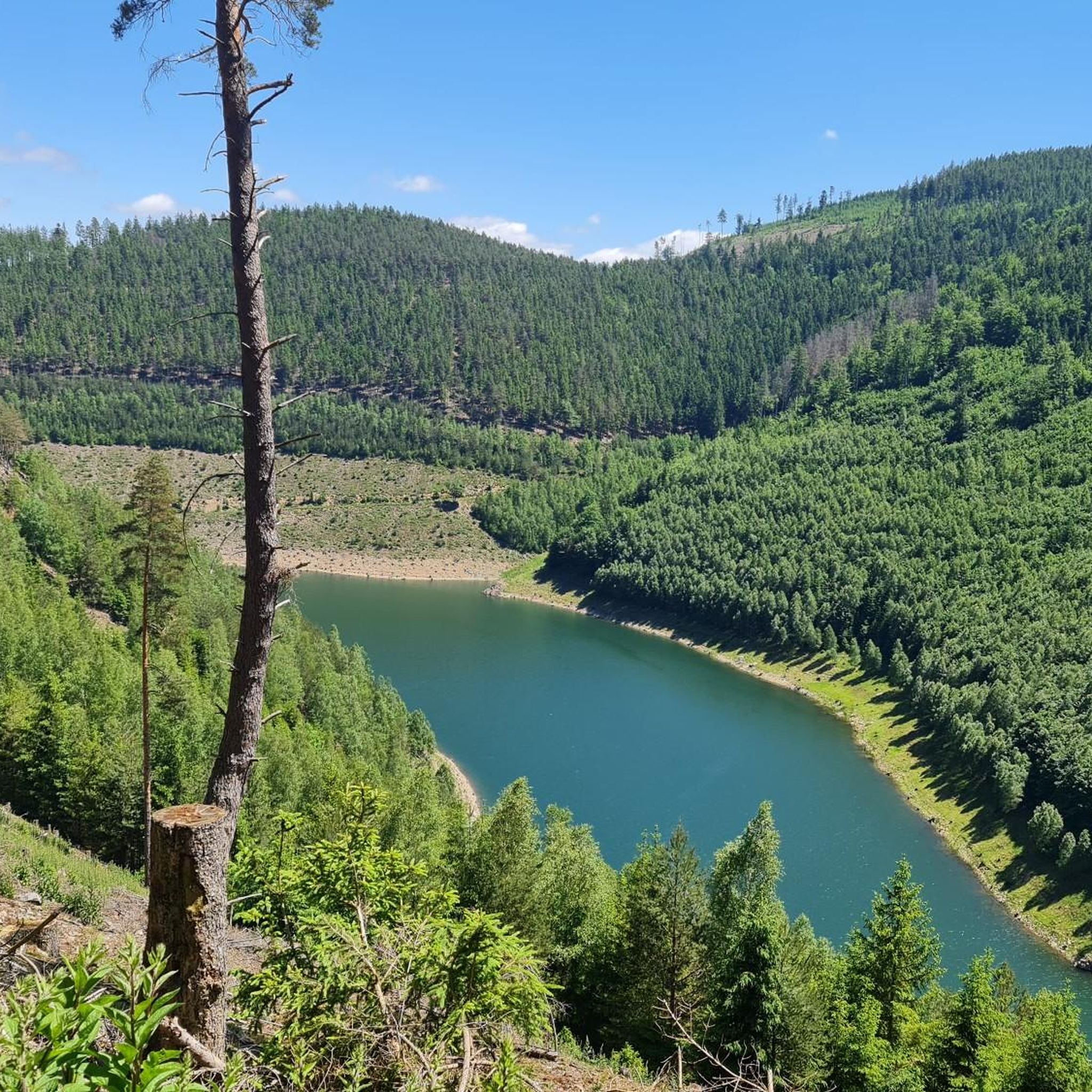
シェイベ=アルスバッハ貯水池
ハイライト • 湖
翻訳者 Google •
役立つ情報 は

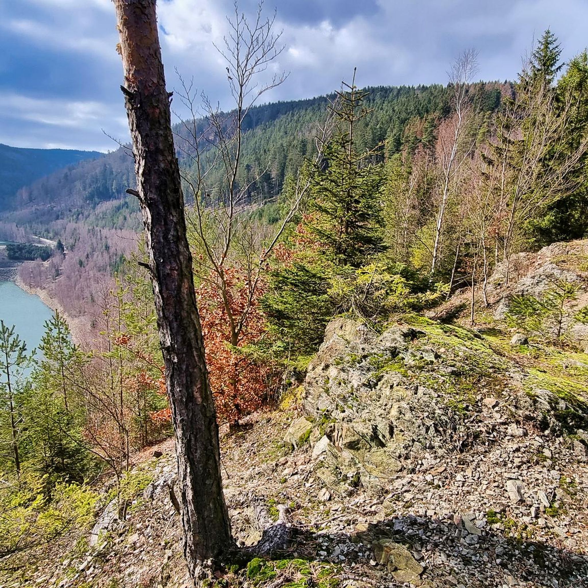
シュナイダーフェルゼン - ツーリングスタンプ169
ハイライト • 展望台
翻訳者 Google •
役立つ情報 は

無料でサインアップして、さらに多くの自然記念物を発見しましょう デースバッハでの。
すでにアカウントをお持ちですか?
無料アカウントで今日から始めよう
次の冒険が待っています。
コミュニティからのヒント

Originally built to increase the low water level so that the cellulose works in Schwarza always had enough water. Today the dam is mainly used to produce drinking water.
8
0

The hiking trail is very adventurous, if you dare to do it please be careful. There are a lot of trees on the route. You have to crawl over or under the trees. It is not suitable for everyone. This section should actually be closed for safety reasons.
4
2

Impressive rock formations. Challenging hiking trail over and under tree trunks. Great rest area with benches and fire pit and shelter with stamping station.
27
0

The Meurasteine are a three-tiered wall on a rocky ridge and extend a little into the Schlagetal. The jagged rocky section is a good 500 million years old and consists of quartzite. You can do a little scrambling here, over steps hewn into the rock. A shelter also "floats" there.
26
1


What a beautiful bike path there. A treat and one should do it.
6
0

Has the charm of a war memorial, only with eternal water instead of an eternal flame.
51
0

The Schwarza spring rises 4 kilometers from Neuhaus am Rennweg and 250 m from the Rennsteig, at an altitude of 717 m. The spring water, which rises from a crack between slate and red sandstone, always has a constant temperature of around 6 degrees Celsius both in midsummer and in winter, which is often icy here. The spring was set in in 1855. In the meantime, however, the spring has looked for another way up and rises about 2m away from the source. In the further course, she looks for her own way (Fig. 4). In spring, a stream already flows past the Schwarzaquellhütte above the Schwarza spring. After 300 m the Schwarza joins the Habichtsbach, which at the confluence has already covered twice as much distance from its source. In the further course the Schwarza flows through the partially deeply cut Schwarzatal until it flows into the Saale after 53 kilometers in the Rudolstadt district of Schwarza. After more than 200 kilometers, the Saale flows into the Elbe at Barby. This makes the Schwarza part of the Elbe's catchment area, as does the previous "River Landscape of the Year", the Havel. The catchment area of the Schwarza and its tributaries covers a total of 507 square kilometers. The Schwarza has many natural stretches of water. Source: http://www.schwarza-fluss.de/schwarza.htm
12
0
デースバッハでのの人気観光スポット

komootモバイルアプリでインスピレーションを得よう


さらに探索
これらのガイドで、最高の洞窟を探す範囲を広げましょうデースバッハでの:
