ブリーデルの天然記念物・トップ20
ブリーデルが誇る美しい風景を見てみたいなら、ブリーデルの素晴らしい天然記念物・トップ20
に行ってみましょう。あなたにぴったりの場所が見つかるよう、素晴らしい天然記念物を探索するために必要なすべての情報を集めました。次のアウトドアの冒険に出かける計画の参考にしましょう。
最終更新日: 10月 11, 2026
カルモント・ヴィア・フェラータ
ハイライト (セグメント) • 登山
翻訳者 Google •
役立つ情報 は

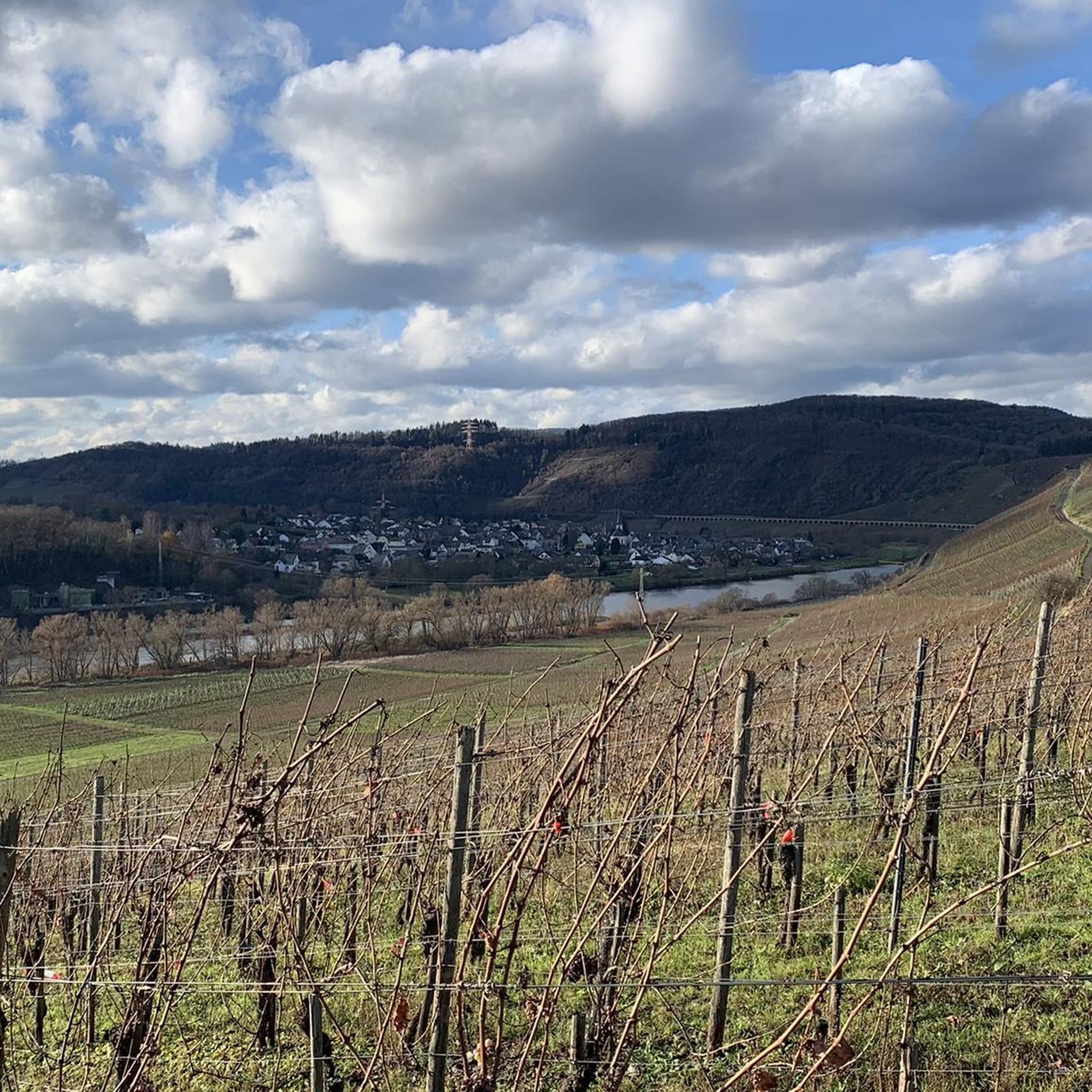
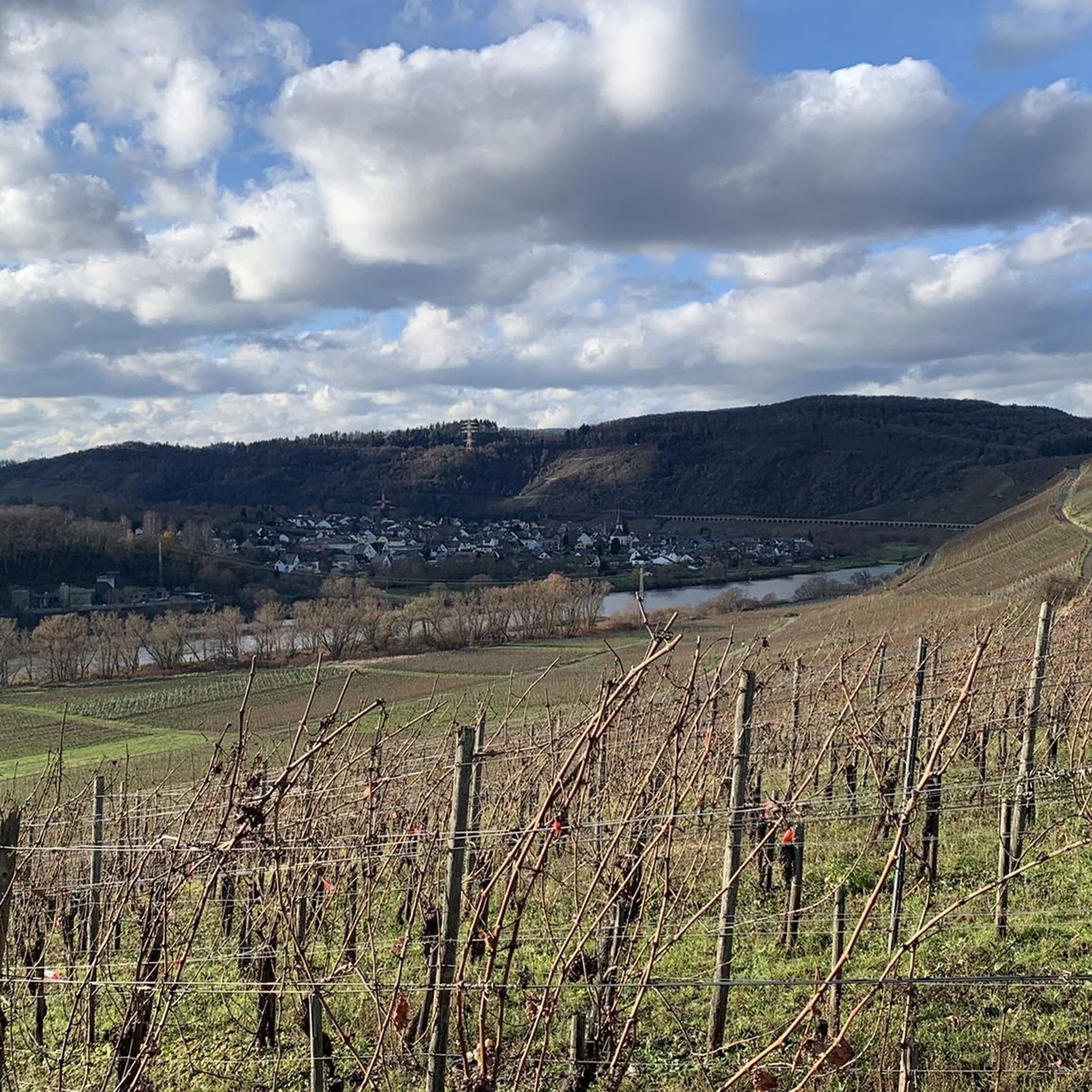
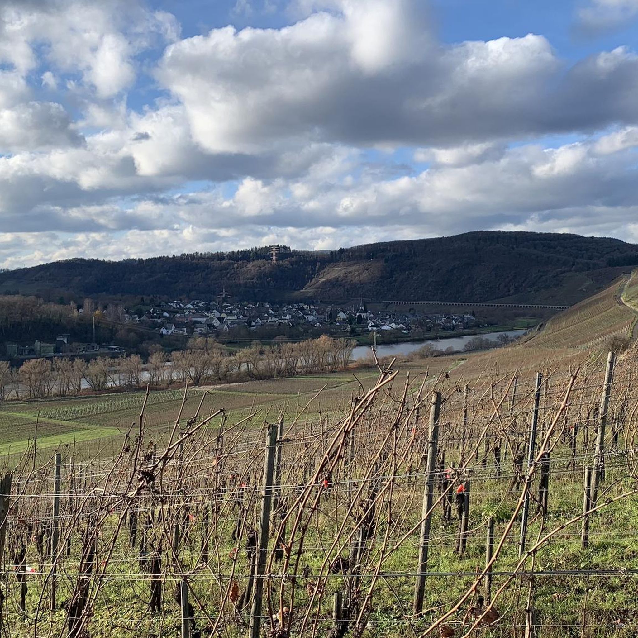
カールモント山頂下に広がるモーゼル川の蛇行のパノラマビュー
ハイライト • 展望台
翻訳者 Google •
役立つ情報 は

今すぐサインアップして、こんな場所を発見しよう
最高のシングルトラック、ピーク、その他のエキサイティングなアウトドアスポットのおすすめを受け取ろう。
カルモント・ホーエンヴェーク
ハイライト • トレイル
翻訳者 Google •
役立つ情報 は

カールモント・ヴィア・フェラータのロープ補助区間
ハイライト • 登山
翻訳者 Google •
役立つ情報 は

カールモント・クレッターステーク
ハイライト • 登山
翻訳者 Google •
役立つ情報 は

無料でサインアップして、さらに多くの自然記念物を発見しましょう ブリーデルでの。
すでにアカウントをお持ちですか?

コミュニティからのヒント

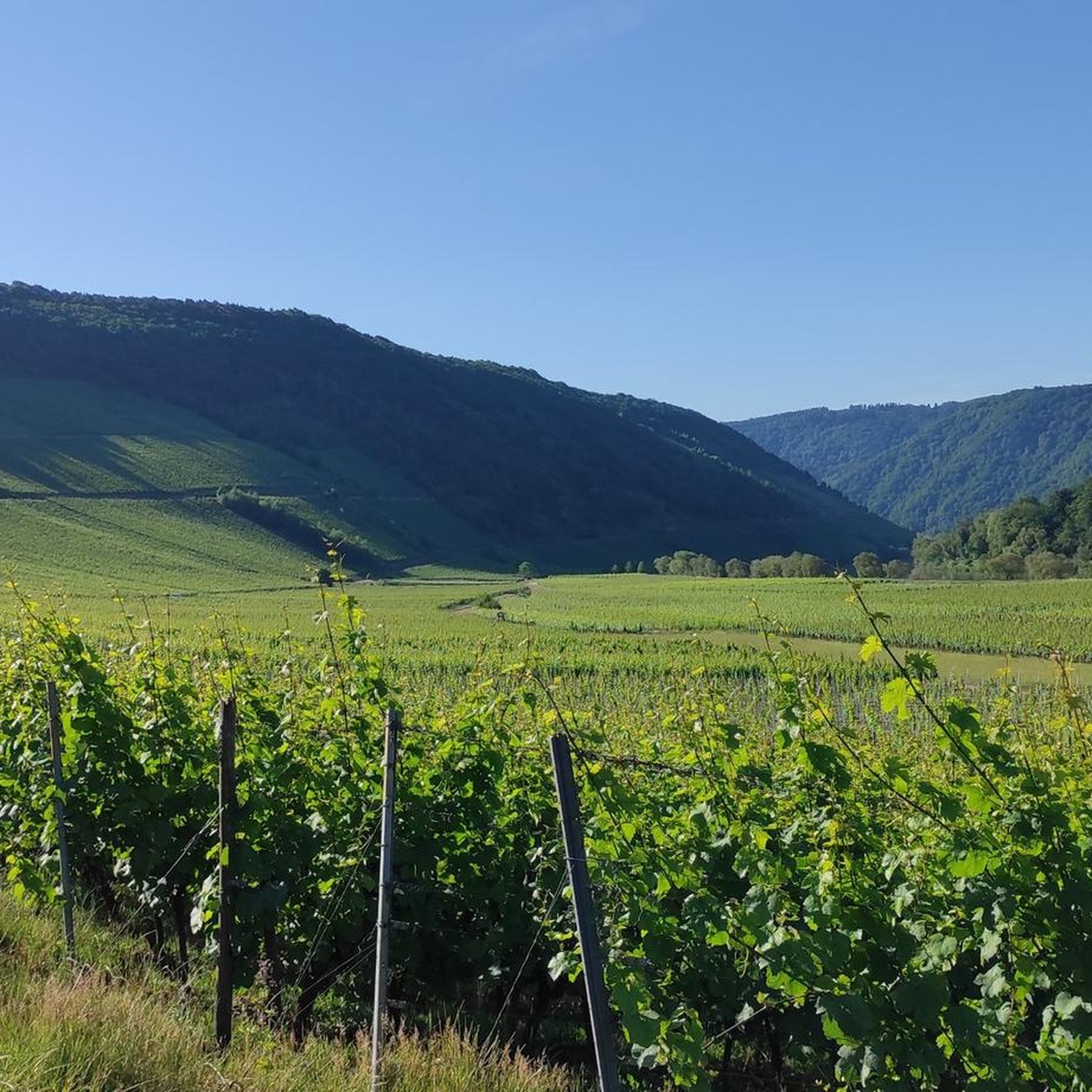
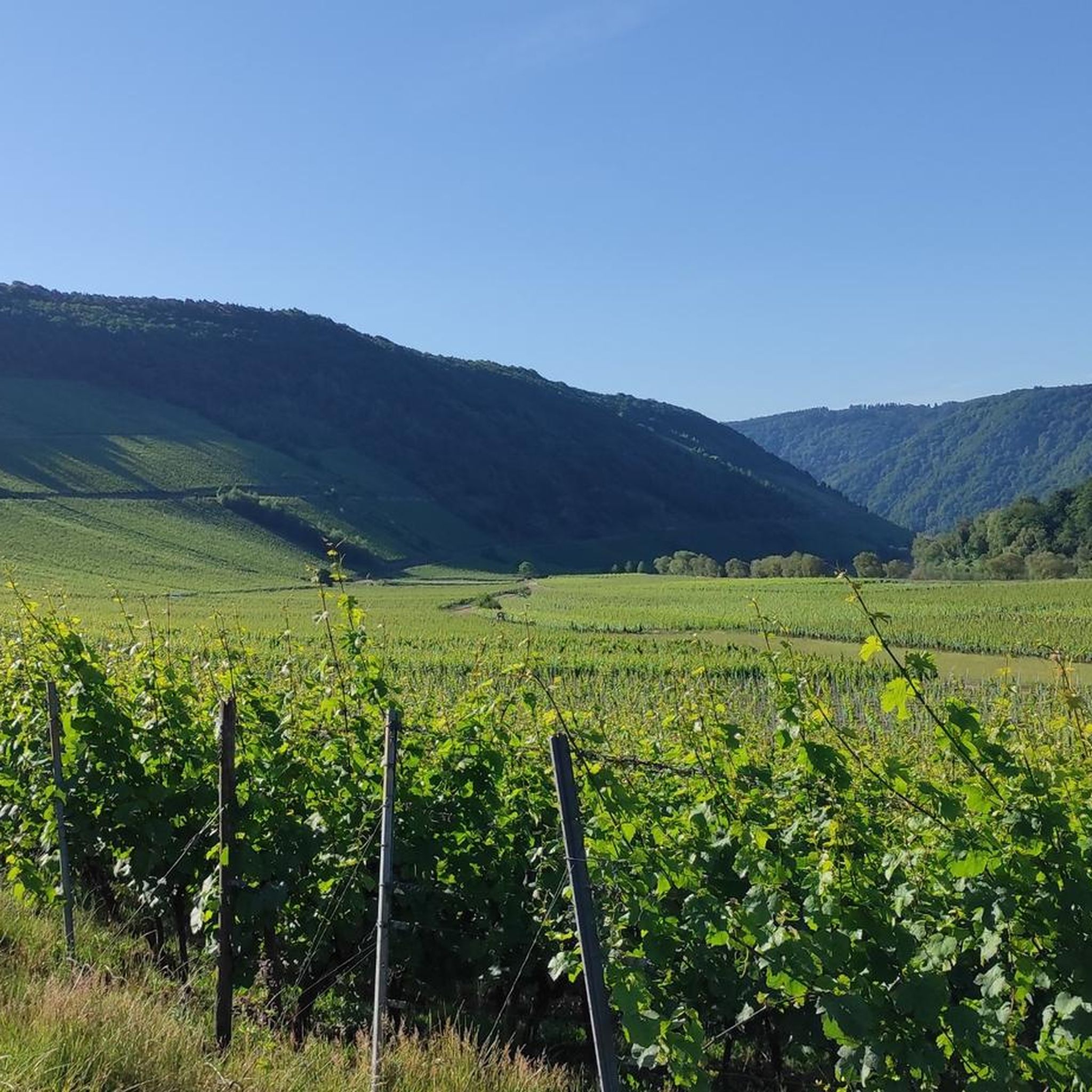
🥾🥾⛰️The Calmont is a steep vineyard with a 65 degree incline↗️ & a height of 378 meters↕️. The Calmont via ferrata🥾🥾🪜 leads through the vineyard, impassable rocky sections are overcome with climbing aids. The hike on the Calmont high trail with the Calmont summit cross and “Vierseenblick” offers fantastic views🎨🖌. Difficult passages are equipped with rock steps, rope safety devices, steel ladders, iron brackets and footholds. 🧭The Calmont region is located on the Terraced Moselle, just under 20 kilometers from Cochem. Thanks to the German Alpine Association and many volunteers from the surrounding communities of Bremm, Ediger-Eller and Neef. Because they all made sure that the mountain was accessible in the first place🥾🥾🎒.
8
0

The route is great, a clear recommendation if you think you can do it.
4
0

The Calmont is an almost 400 meter high steep vineyard with a 65 degree slope. The Calmont via ferrata leads up and down through the vineyard over narrow, partly rooty and numerous rocky passages. Difficult passages are equipped with rock steps, rope safety devices, 6 steel ladders, 22 iron brackets and 16 stepping pins.
10
3

From this vantage point you have one of the best valley views of the Moselle loop.
76
0
The Calmont via ferrata is more of a mountain trail than a via ferrata. Passages of the "via ferrata" are made safer with handrails, ladders, step bars and stepping pins. However, hikers who are not sure-footed also have the option of bypassing the short section of the "via ferrata".
73
10

It is particularly beautiful in October when the leaves change color. Shortly after 10 a.m. we walked from Eidiger-Eller, first over the Todesangst and the Höhenweg, so we were above the Moselle loop at the right time. There is a rest area with a bench, from where we could watch how the fog revealed the colorful landscape.
13
0

Beautiful hiking tour with a view of the Moselle loop. 😍
13
0

You can also enjoy the view without hiking up. Drive up with the car. Drive quite far, then comes a gravel road, this approx. 2km comes a parking lot for hikers. From there it is not far to the summit cross and Vierseenblick. Together about 2km. Above are great wide hiking trails. Well suited for beginners. Then down to Bremm where the second vantage point is easily accessible on foot. So everyone has something.
14
0

komootモバイルアプリでインスピレーションを得よう


さらに探索
これらのガイドで、最高の洞窟を探す範囲を広げましょうブリーデルでの:
