レーアテの天然記念物・トップ20
レーアテが誇る美しい風景を見てみたいなら、レーアテの素晴らしい天然記念物・トップ20
に行ってみましょう。あなたにぴったりの場所が見つかるよう、素晴らしい天然記念物を探索するために必要なすべての情報を集めました。次のアウトドアの冒険に出かける計画の参考にしましょう。
最終更新日: 10月 11, 2026
ライネ堰(デーレン)
ハイライト • 記念碑
翻訳者 Google •
役立つ情報 は

クロンスベルク展望台
ハイライト • 展望台
Just make sure the weather is good and then …
翻訳者 Google •
役立つ情報 は

今すぐサインアップして、こんな場所を発見しよう
最高のシングルトラック、ピーク、その他のエキサイティングなアウトドアスポットのおすすめを受け取ろう。
グローサー・シュテルン(ブルクドルフの森)
ハイライト • 自然記念物
翻訳者 Google •
役立つ情報 は

ビールブッシュの森の睡蓮池
ハイライト • 湖
翻訳者 Google •
役立つ情報 は

クロンスベルク南丘の頂上
ハイライト • 山頂
翻訳者 Google •
役立つ情報 は

無料でサインアップして、さらに多くの自然記念物を発見しましょう レーアテでの。
すでにアカウントをお持ちですか?
無料アカウントで今日から始めよう
次の冒険が待っています。

コミュニティからのヒント

The summit cross on the Kronsberg marks Hanover's highest point – 118 meters above sea level. It stands on an artificially raised observation hill on the southeastern outskirts of the city, near the Expo site. From here, you can enjoy a sweeping view of the city, the Deister Mountains, and the surrounding countryside.
9
0
The weir was used for energy generation and has been rebuilt several times. The associated turbine system generated electricity for the factory and is now part of a former power plant that is used as a bridge.
12
0

The Kronsberg hill covers an area of approximately 2,000 hectares. The mountain originally had an elevation of 106 m above sea level. The artificially created, twelve-meter-high observation hill at the original summit raised its elevation to 118 m above sea level. A second hill was built on the southern shoulder, reaching a height of 107.3 m above sea level. It is located approximately 2.3 km south-southwest of the summit. The observation points offer a sweeping view of Hanover and the surrounding mountain ranges, such as the Deister. The observation hills were created in the late 1990s and also serve as a design element. Trees are planted along the edges of their summits. Their soil consists of limestone marl, which was excavated during the construction work on the Kronsberg. The slopes of the oval-shaped hills are unplanted and serve as a habitat for warm- and lime-loving plants. The viewing hills are about 80 meters wide and, in an east-west direction, about 250 meters long, and the southern hill about 200 meters long. Their summits are also oval and about one-fifth of the dimensions mentioned. Source: https://de.wikipedia.org/wiki/Kronsberg
1
0
At 107 m, the South Hill is slightly lower than the North Hill (118 m). But the climb up is steeper!
1
0

Beautiful view of the south of the Hanover region. If the visibility is good you can see the Brocken.
1
0

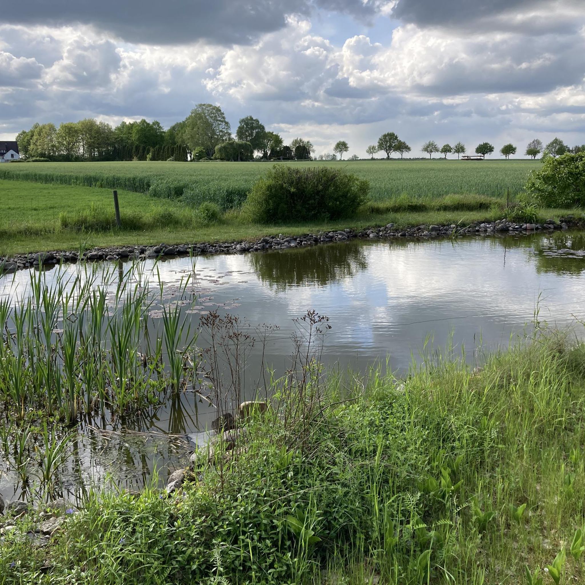
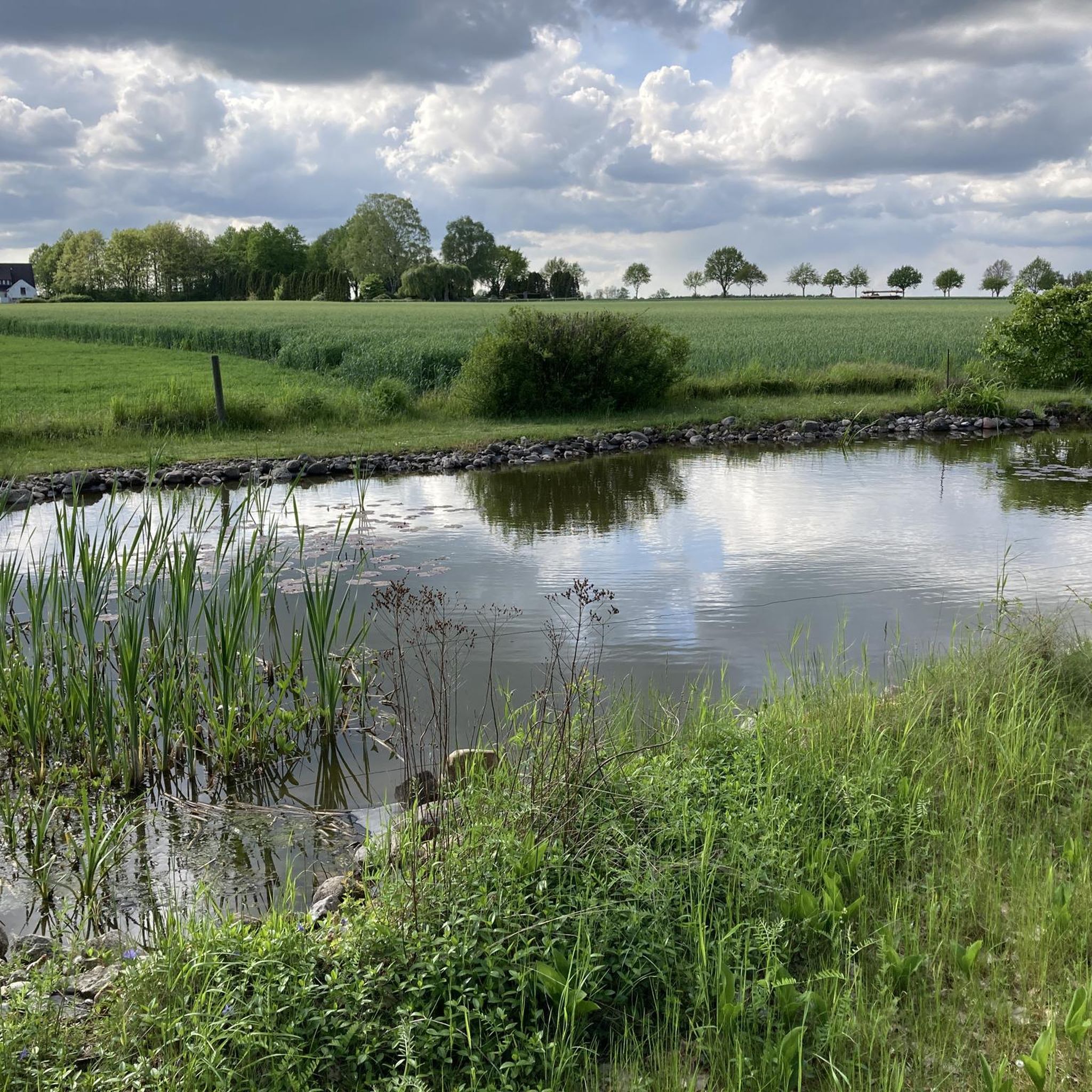
a very beautiful pond in the middle of the forest, very quiet and easily accessible
3
0

You can easily combine the north and south hills on one tour.
7
0

From here it goes in all directions, and many people take a break and/or get their bearings here.
3
0
レーアテでのの人気観光スポット

komootモバイルアプリでインスピレーションを得よう


さらに探索
これらのガイドで、最高の洞窟を探す範囲を広げましょうレーアテでの:
