ラングバリヒのバイクパーク・トップ4
ラングバリヒには思いっきり楽しめるバイクパークがいくつもあります。komootコミュニティのメンバーが投稿したハイライトのコレクションを参考に、素晴らしいバイクパークのトレイルを満喫するアドベンチャーに出かけましょう。クリックするだけでバイクパークのマップと体験者からの情報を確認でき、次の冒険の参考にすることができます。
最終更新日: 9月 1, 2026
ヘッケベルク・シングルトレイル
ハイライト (セグメント) • MTBパーク
other mountain bikers have made an effort here
given and started a few
To build harassment in the track ... 👍
Best to drive from west to east.
翻訳者 Google •
役立つ情報 は

ホルニス半島のMTBトレイル
ハイライト • MTBパーク
翻訳者 Google •
役立つ情報 は

今すぐサインアップして、こんな場所を発見しよう
最高のシングルトラック、ピーク、その他のエキサイティングなアウトドアスポットのおすすめを受け取ろう。
無料新規登録
フォレストスパイラル・ストーンサークル
ハイライト (セグメント) • 森
翻訳者 Google •
役立つ情報 は

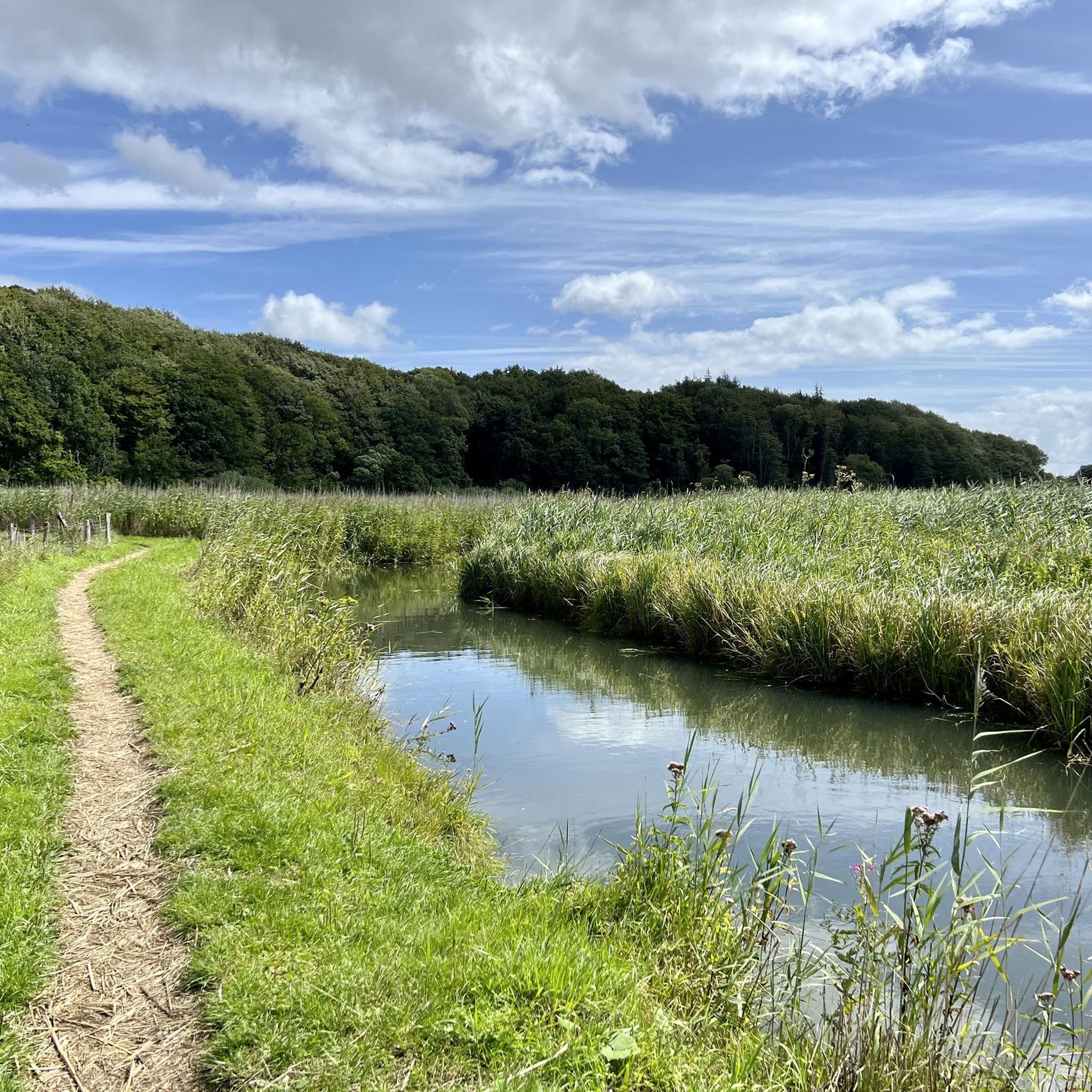
池のある森のマウンテンバイクトレイル
ハイライト (セグメント) • MTBパーク
翻訳者 Google •
役立つ情報 は

Fuchsgrabenの草地シングルトラック
ハイライト (セグメント) • トレイル
翻訳者 Google •
役立つ情報 は

無料アカウントで今日から始めよう
次の冒険が待っています。
ログインまたは登録

コミュニティからのヒント

Not only the long loop around the Holnis peninsula is recommended, but the entire area – whether on foot or by bike. The combination of cliffs, beach, quiet country lanes, and expansive views over the Flensburg Fjord makes this tour truly special. 🌅 What I particularly like: ⦁ the varied landscape – from open fields to salt marshes to cliffs with sea views 🐚 ⦁ the proximity to nature – you often see seabirds, sometimes even deer or hares 🐦🦌 ⦁ the peaceful atmosphere, especially in the morning or evening hours The hiking trail is well signposted and easy to walk. It's very suitable for families and, very important because it's rarely mentioned: also suitable for strollers ✅ For cyclists: Please note that the nature reserve in the middle is closed to bicycles 🚫🚲 – but you can easily cycle around it and still experience much of the charm of the trail. Nevertheless, you'll often see intelligent beasts packing their brains into their saddlebags at the sign and speeding through like a monkey stung by a wasp 🤬 – which isn't surprising, considering that cyclists are often perceived as a nuisance. If you love nature and are looking for a tour that combines sea views, peace, and exercise, this is the place for you – whatever the season. 🌾❄️🌞 Highlights of the tour are definitely: ⦁ View from the Holnis Cliff ⦁ Denmark within reach ⦁ Birdwatching in the middle of the nature reserve ⦁ Swimming on the north beach ⦁ The old sailor's grave & Lake Pugumer
0
0


The "difficult" grassy area begins suddenly as soon as you have passed the last house at "Fuchsgraben" or, coming from the south, turned behind the bank. The deep tractor tracks and the year-round wet terrain make this shortcut only suitable for mountain bikes.
1
0

Great forest section that is really fun👍
1
0

The Höckeberg [ (Danish: Høgebjerg in the municipality of Freienwill, at 82.4 m above sea level. NN is the highest elevation in Angling in the north-east of Schleswig-Holstein. A beautiful MTB area. The mountain name is derived from the Danish høg for hawk, the meaning is therefore hawk mountain. The Höckeberg is in the municipality of Freienwill near Kleinwolstrup near the border with the municipality of Hürup on a watershed between the North Sea and the Baltic Sea. The actual hilltop is on a field. The topographic stone of the Höckeberg was moved to the Kleinwolstruper Osterholz north of the hilltop and the height was re-entered, since the stone hindered field work. The Höckeberg belongs to a more than 70 meter high hilly area of about 135 hectares, which slopes down and runs out to the north at Hürupholz, east at Hürupmühle and south-west in the direction of Oeversee. The view from the Höckeberg is blocked by the aforementioned Kleinwolstruper Osterholz to the north, another wood to the east and neighboring hills of almost the same height. On one of these hills, southeast of the hilltop, stands the Freiewill telecommunications tower. Near the transmission tower, the view obviously stretches as far as Satrup and Sörup in the east and Grossenwiehe in the west. Flensburg cannot be seen from there because of the forest mentioned. To the south, the Schleswig telecommunications tower can be seen in the distance. If visibility is good, the Bredstedt telecommunications tower can also be seen in the distance. The Höckeberg is indirectly visible from afar due to the Freiewills telecommunications tower. Its approximate location can therefore be located from the high Flensburg town hall. At the edge heights of the ridge it is possible to look down into the valleys. The city of Flensburg is easily recognizable from the edge of the hill near the farmsteads of Hürupholz, especially in the evening when the city is illuminated. To the west of the village of Kleinwolstrup, on the way to Munkwolstrup, there is a spot from which, in good weather, you can see the spire of Schleswig Cathedral to the south and Flensburg's chimneys through a butthole. Directly north-east of the Höckeberg is the headwaters of the Westenwatt river, which is part of the Mühlenstrom river system, which flows into the Flensburg Fjord at the tip of the Flensburg harbour. https://de.wikipedia.org/wiki/H%C3%B6ckeberg
3
0

Small chicanes, like jumping over the tin roof.
1
1
ラングバリヒでのの人気観光スポット

komootモバイルアプリでインスピレーションを得よう


さらに探索
まだ完璧なバイクパークを探していますか?これらの場所のガイドをチェックしましょう:
