ヘルヌム(ズィルト)の天然記念物・トップ20
ヘルヌム(ズィルト)が誇る美しい風景を見てみたいなら、ヘルヌム(ズィルト)の素晴らしい天然記念物・トップ20
に行ってみましょう。あなたにぴったりの場所が見つかるよう、素晴らしい天然記念物を探索するために必要なすべての情報を集めました。次のアウトドアの冒険に出かける計画の参考にしましょう。
最終更新日: 9月 1, 2026
Nössedeich
ハイライト • 構造物
翻訳者 Google •
役立つ情報 は

Amrumer Odde(アームルムの北端)
ハイライト • ビーチ
翻訳者 Google •
役立つ情報 は

今すぐサインアップして、こんな場所を発見しよう
最高のシングルトラック、ピーク、その他のエキサイティングなアウトドアスポットのおすすめを受け取ろう。
ヘアヌム・オッデ(ジルト島南端)
ハイライト • ビーチ
翻訳者 Google •
役立つ情報 は

ラントゥムベッケン自然保護区
ハイライト • 湖
翻訳者 Google •
役立つ情報 は

ノルトドルフ・クヴェルマルケンフェーア灯台
ハイライト • 記念碑
翻訳者 Google •
役立つ情報 は

無料でサインアップして、さらに多くの自然記念物を発見しましょう ヘルヌム(ズィルト)での。
すでにアカウントをお持ちですか?
無料アカウントで今日から始めよう
次の冒険が待っています。
コミュニティからのヒント

There is a viewing platform here with a great view over the dunes and the North Sea.
7
0

The white, round tower with a red lantern and a red conical roof made of copper stands on a conical brick base in the northwestern part of Amrum, on the eastern edge of the Kniepsand. The shaft consists of cast-iron casing plates that are screwed together. The lighthouse was initially operated with gas. In 1936, the lighthouse was converted to electric light together with the Amrum lighthouse. The light is produced by a 120 V/600 W halogen bulb with a four-way changeover system and electric lamp timing. Since December 5, 1984, all lighthouses on Amrum have been remotely controlled by the Tönning Waterways and Shipping Office. The Norddorf lighthouse serves as a guide and cross-mark light for the "Vortrapptief" fairway, a second guide sector for entering the port of Hörnum on Sylt. You can reach the Norddorf leading and cross-mark light from the bird hide near the crossing to Kniepsand via a boardwalk. In autumn it can sometimes be very stormy on Amrum. The spectacle can be magnificent. Water splashes over the breakwaters, beach grass ducks before the imperious storm that howls around the Frisian thatched roofs. It is the time to walk on Amrum in oilskins, the taste of salt on your lips, a joyful restlessness in your heart because the unleashing is impressive. There is some truth in the opinion of island friends that there is no such thing as bad weather here, just inappropriate clothing. https://www.deutsche-leuchtfeuer.de/nordsee/norddorf.html
11
1

The Rantum basin is a nature reserve in the middle of the island of Sylt, south of the towns of Westerland and Tinnum. It is named after the place Rantum. This protected area is looked after by the Jordsand association.
14
0

On one side the open sea on the other the bird sanctuary with lake.
5
0

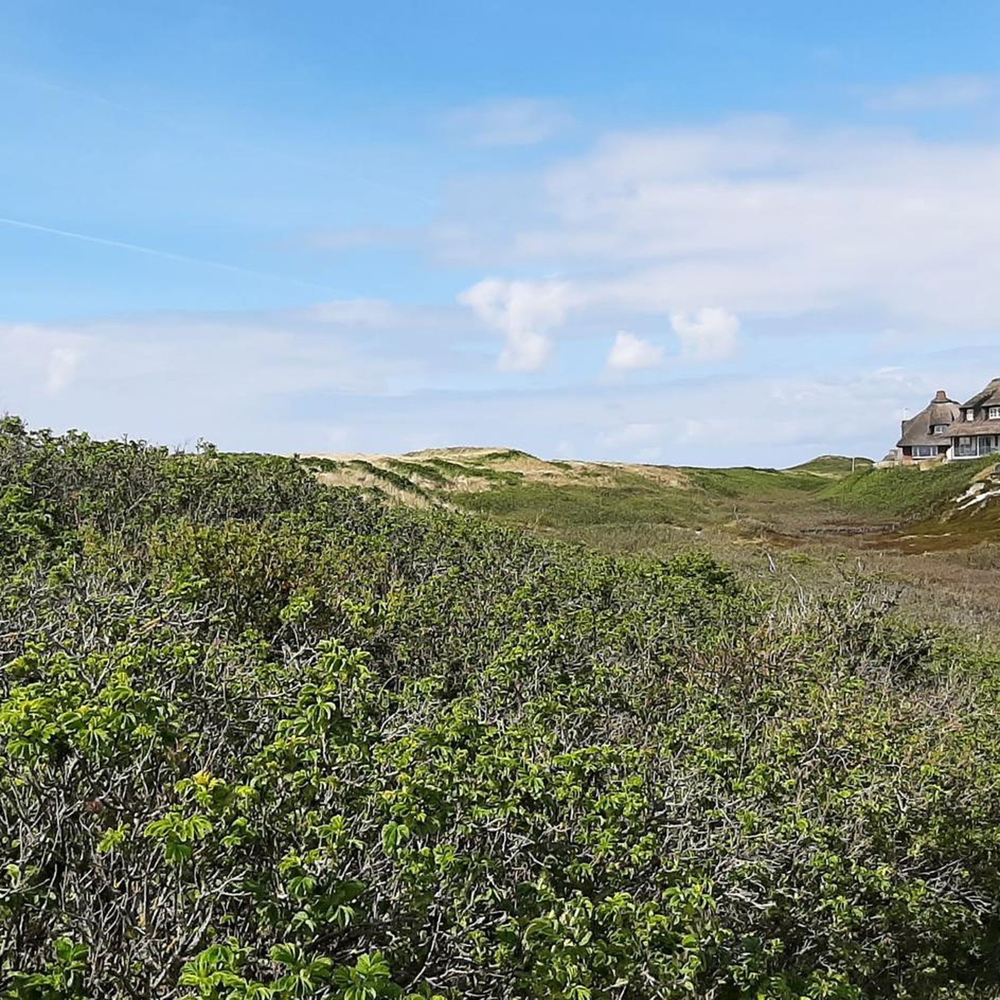
The view from the beacon is fantastic. You can enjoy the beautiful dune landscape in all directions. In addition, numerous benches invite you to linger.
9
1

The northernmost lighthouse in Amrum is a beautiful hiking destination with a great view of the surrounding dune landscape. Sit down, take a deep breath and enjoy!
8
1

An absolute must for a run on Amrum
7
0
Wonderfully quiet in autumn, unfortunately there are no more guided tours
5
0
ヘルヌム(ズィルト)でのの人気観光スポット

komootモバイルアプリでインスピレーションを得よう


さらに探索
これらのガイドで、最高の洞窟を探す範囲を広げましょうヘルヌム(ズィルト)での:
