アントドルフの天然記念物・トップ20
アントドルフが誇る美しい風景を見てみたいなら、アントドルフの素晴らしい天然記念物・トップ20
に行ってみましょう。あなたにぴったりの場所が見つかるよう、素晴らしい天然記念物を探索するために必要なすべての情報を集めました。次のアウトドアの冒険に出かける計画の参考にしましょう。
最終更新日: 8月 31, 2026
大オスター湖
ハイライト • 湖
翻訳者 Google •
役立つ情報 は

ベネディクトボーレン湿原の風景
ハイライト • 自然
翻訳者 Google •
役立つ情報 は

今すぐサインアップして、こんな場所を発見しよう
最高のシングルトラック、ピーク、その他のエキサイティングなアウトドアスポットのおすすめを受け取ろう。
無料新規登録
コッヘル湖から流れ出るロイザッハ川
ハイライト • 川
Nice view from the bridge.
翻訳者 Google •
役立つ情報 は

グローサー・オスターゼーとアルプスの眺め
ハイライト • 展望台
There are many beautiful views around the Easter Lakes, but here is perhaps the most beautiful view with the Alpine panorama in the background!
翻訳者 Google •
役立つ情報 は

ベルンリーダー公園の湖畔遊歩道
ハイライト (セグメント) • トレイル
翻訳者 Google •
役立つ情報 は

無料でサインアップして、さらに多くの自然記念物を発見しましょう アントドルフでの。
無料新規登録
すでにアカウントをお持ちですか?
無料アカウントで今日から始めよう
次の冒険が待っています。
ログインまたは登録
コミュニティからのヒント

beautiful gravel road away from traffic
3
0
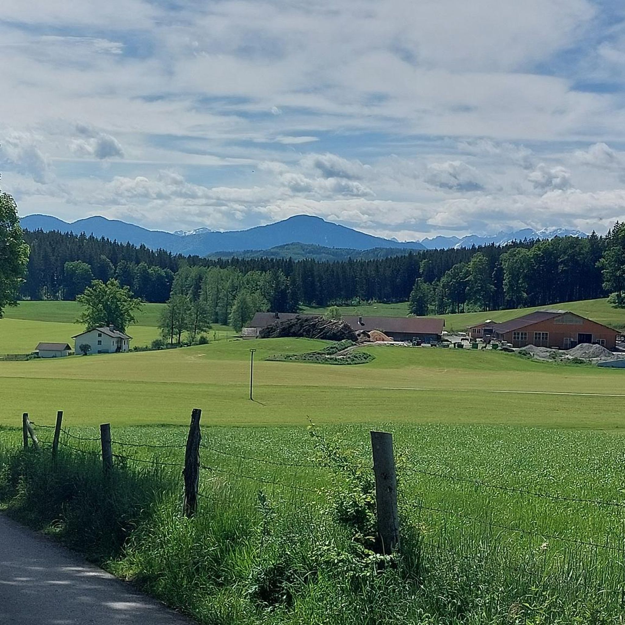
beautiful path with great views over the landscape
4
0
Beautiful dirt road through a great landscape
3
0

Wikipedia (Osterseen, 2023-09-06): https://en.wikipedia.org/wiki/Osterseen
4
0

Really nice paths for cycling here.
4
0

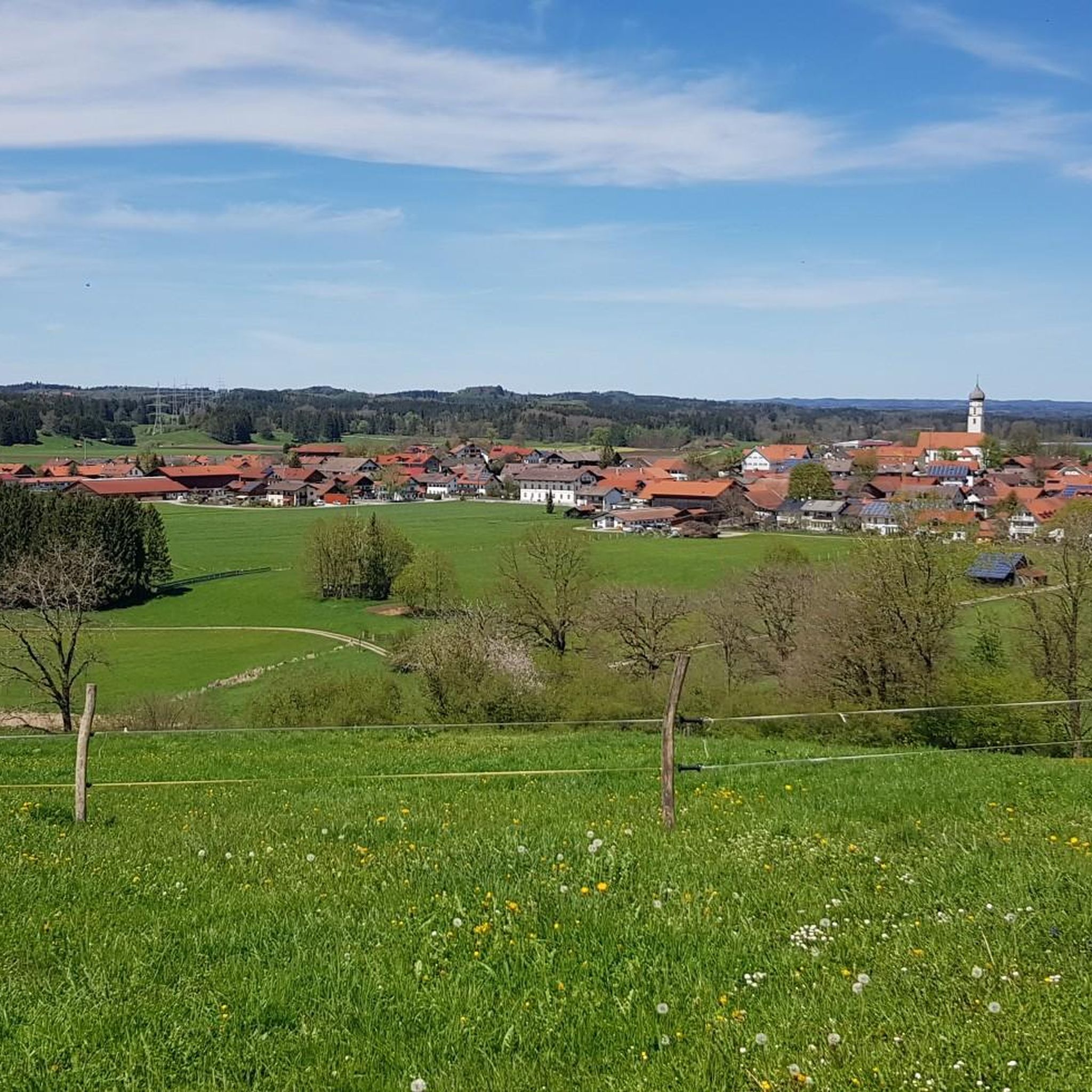
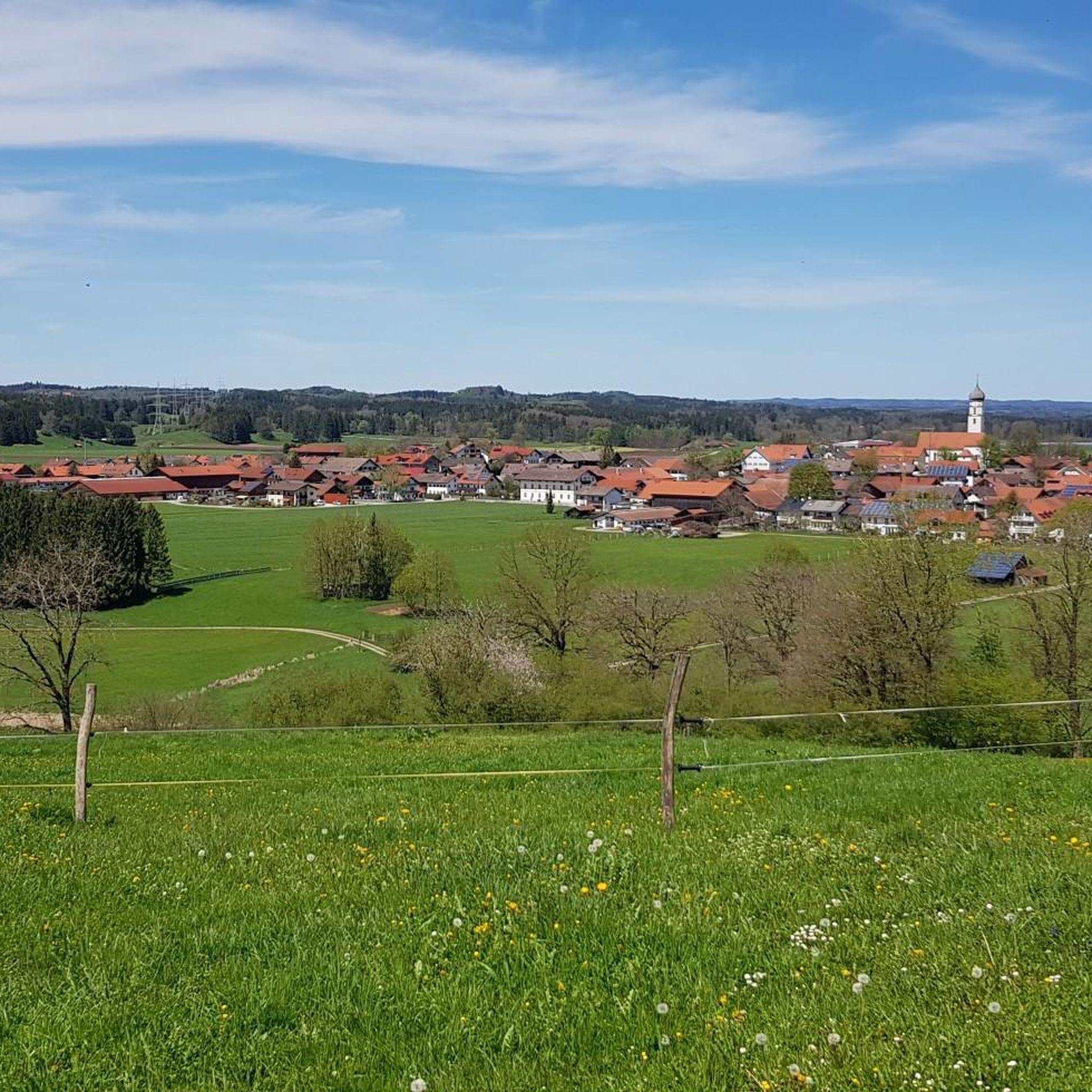
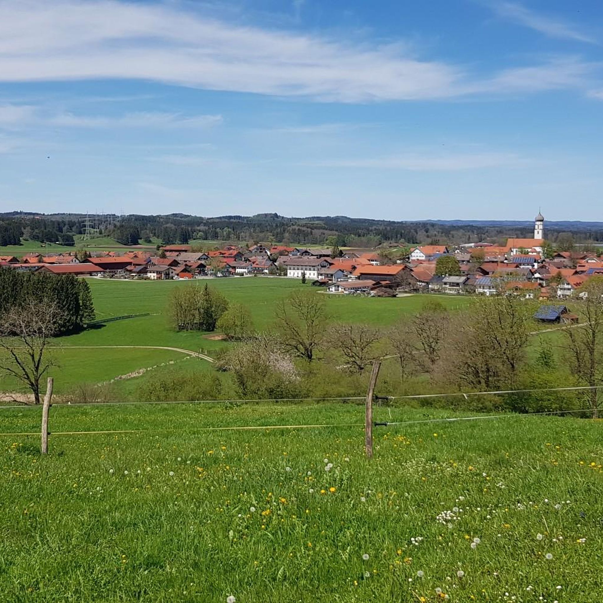
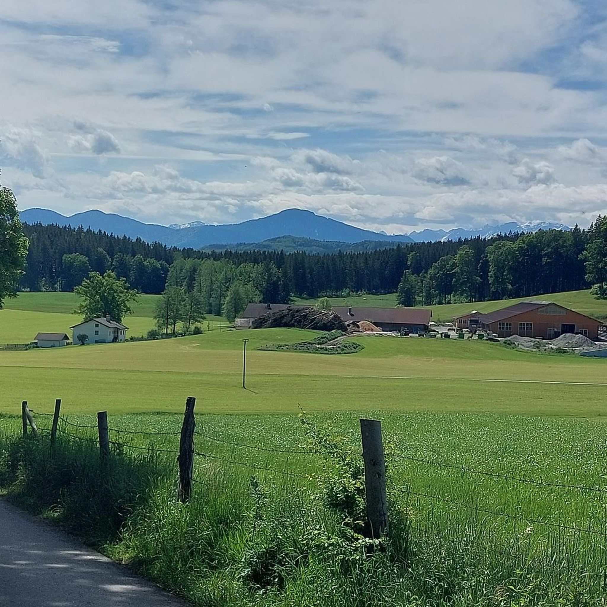
View over the meadows to the Great Easter Lake 🌊 - North side - Beautiful moorland with a view of the Alps ⛰🏔⛰ - Iffeldorf - LKR. Weilheim-Schongau
4
1
The Osterseen are a group of bodies of water south of Lake Starnberg in the Weilheim-Schongau district in Upper Bavaria. The southern and central Osterseen with the Großer Ostersee belong to the municipality of Iffeldorf, the northern Osterseen from the Stechsee and the Frechensee to the municipality of Seeshaupt. Iffeldorf is around five kilometers by road northwest of Penzberg, 20 km southeast of the district town of Weilheim and 50 km south-southwest of Munich city centre. The 20 larger individual lakes have a total area of around 225 hectares and an average depth of a good nine metres. The Kleiner Gröbensee and about 15 unnamed smaller lakes, each with an area of only a few hundred square meters, are not included here, seven of which are already heavily silted up. The Osterseen and the silting-up zone bordering to the west are located in the landscape protection area "Protection of the Osterseen and their surroundings in the communities of Frauenrain, Iffeldorf and Seeshaupt". The area received this protection status as early as 1955. Since 1981 there has also been the Osterseen nature reserve with an area of 1,083 hectares. About a third of this is on the surface of the water bodies, 494 hectares are high, low and intermediate moors, 172 hectares consist of semi-natural mixed forest. Around five percent of the Osterseen landscape consists of riparian regions, silted-up areas and meadows. The nature reserve is divided into three parts, which are separated from each other by the train line of the Kochelseebahn and the state road 2063: Südliche Osterseen, Nordliche Osterseen and Frechensee. In May 1997, the Osterseen were reported to Brussels as a SPA (European bird sanctuary) and FFH area according to the Fauna-Flora-Habitat Directive. In addition to the Eggstätt-Hemhofer lake district and the Seeoner lakes, the area is the largest and most structured icefall landscape in the Bavarian Alpine foothills. The complex of boggy and nutrient-poor lakes, low, transitional and raised bogs alongside bog and swamp forests with its extraordinary diversity of species in the networked habitats, biotopes and ecological niches is of Europe-wide importance for basic scientific research. The beauty of this landscape has always attracted artists. The painter Georg Schrimpf in particular, a main representative of the New Objectivity art movement, created several oil paintings of the Osterseen in the 1930s. Source: https://de.wikipedia.org/wiki/Osterseen
6
0

A nice little trail goes along here
11
0

komootモバイルアプリでインスピレーションを得よう


さらに探索
これらのガイドで、最高の洞窟を探す範囲を広げましょうアントドルフでの:
