仮面の天然記念物・トップ20
仮面が誇る美しい風景を見てみたいなら、仮面の素晴らしい天然記念物・トップ20
に行ってみましょう。あなたにぴったりの場所が見つかるよう、素晴らしい天然記念物を探索するために必要なすべての情報を集めました。次のアウトドアの冒険に出かける計画の参考にしましょう。
最終更新日: 11月 7, 2026
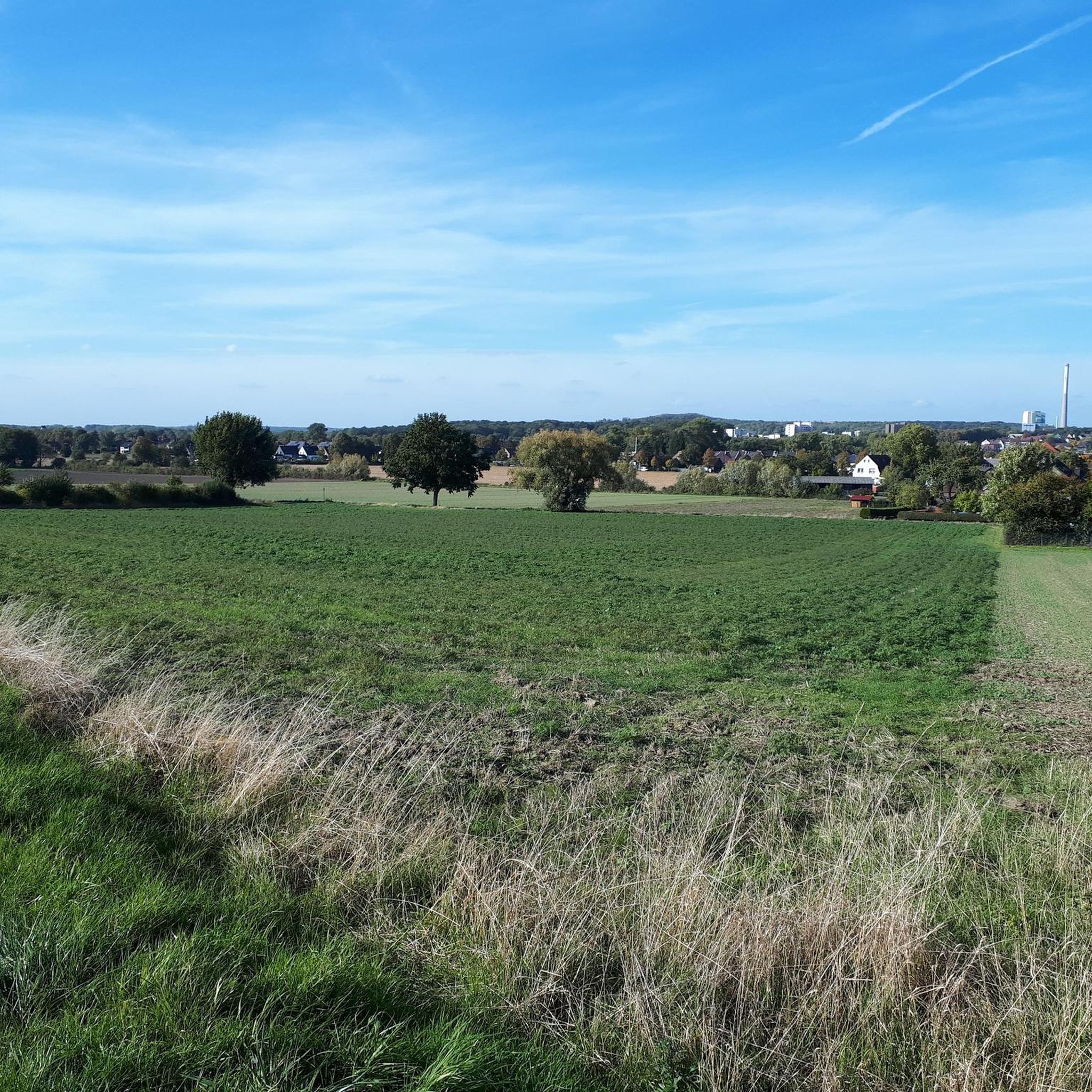
ストックムからヴェルネまでのリッペアウ自然保護区
ハイライト • 自然記念物
翻訳者 Google •
役立つ情報 は

翻訳者 Google •
役立つ情報 は

今すぐサインアップして、こんな場所を発見しよう
最高のシングルトラック、ピーク、その他のエキサイティングなアウトドアスポットのおすすめを受け取ろう。
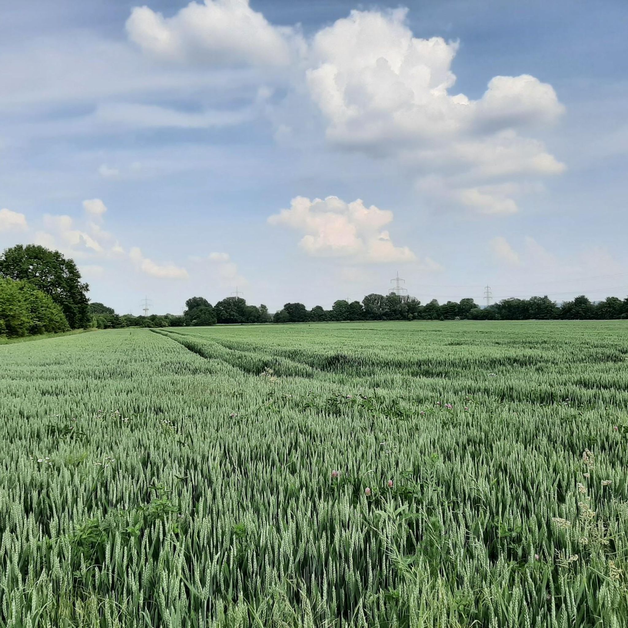
ウエルツェナー・ハイデ自然保護区のミュールバッハ川
ハイライト • 川
翻訳者 Google •
役立つ情報 は

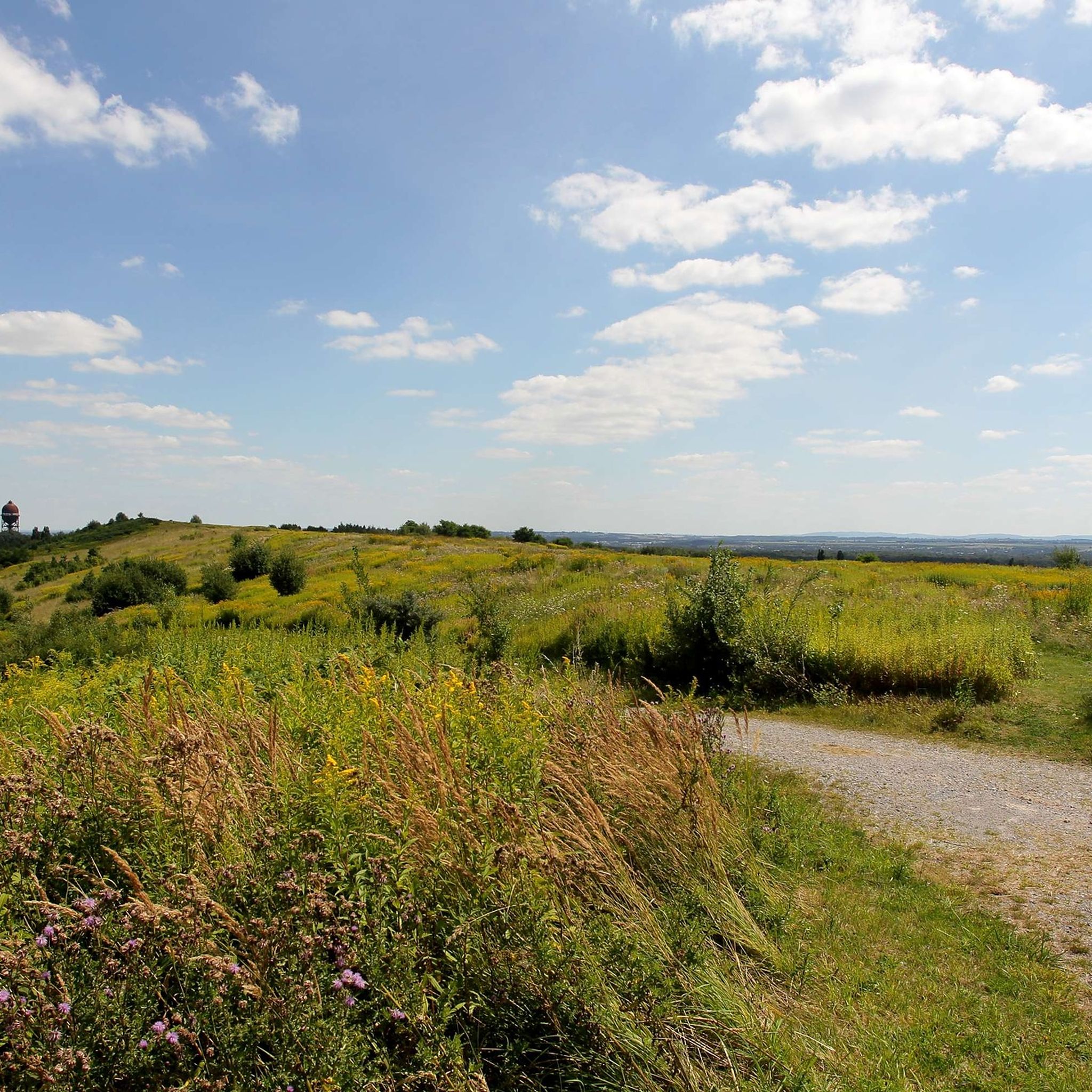
アデナー・ヘーエ — ハルデ・グロースェス・ホルツ
ハイライト • 展望台
翻訳者 Google •
役立つ情報 は

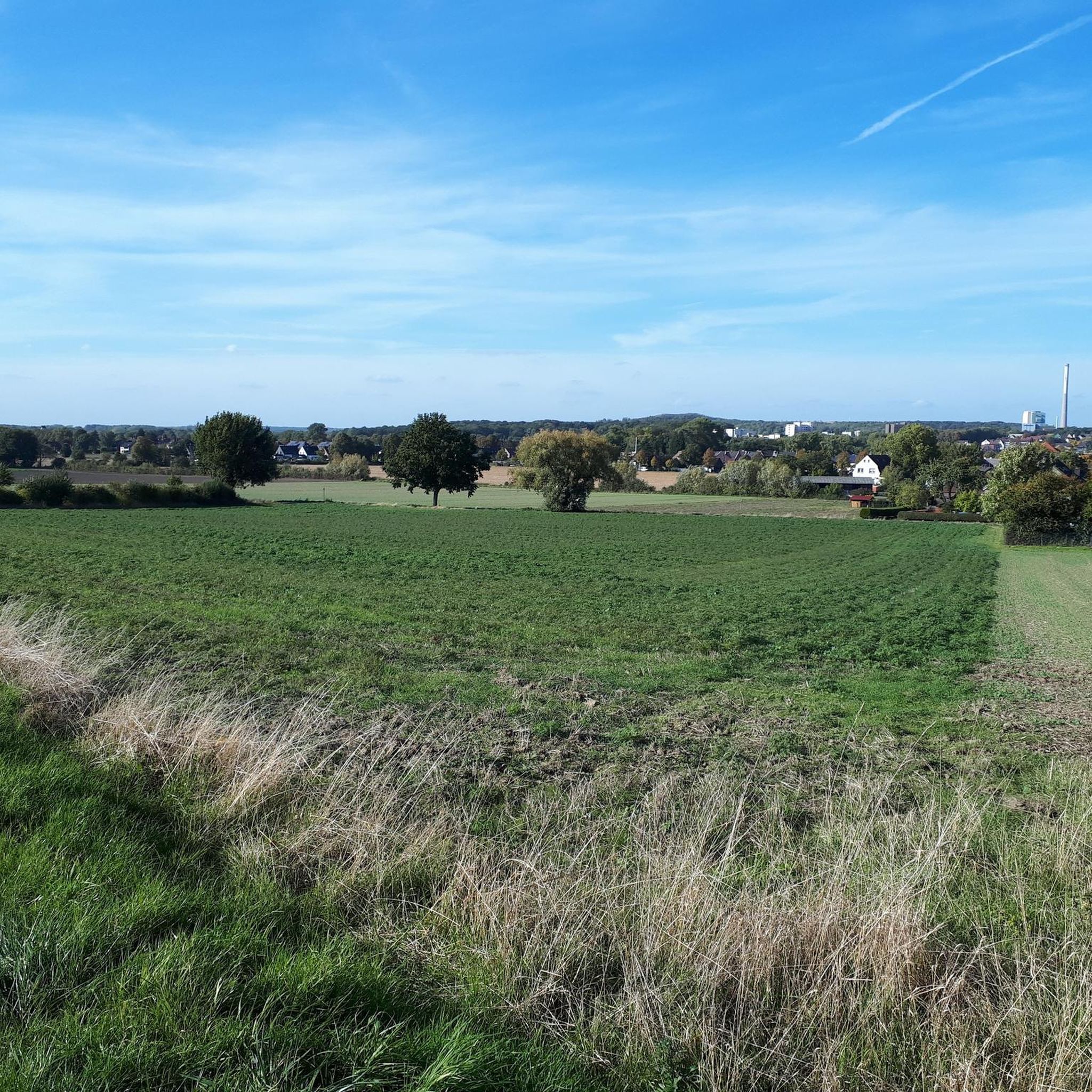
自然保護区Beverseeの森林の小道
ハイライト • トレイル
翻訳者 Google •
役立つ情報 は

無料でサインアップして、さらに多くの自然記念物を発見しましょう 仮面での。
すでにアカウントをお持ちですか?
無料アカウントで今日から始めよう
次の冒険が待っています。
コミュニティからのヒント

This section of the route is a well-paved footpath and cycle path with a view of the species-rich Lippe and Lippeauen nature reserve. With a bit of luck, you might even see a kingfisher.
3
1

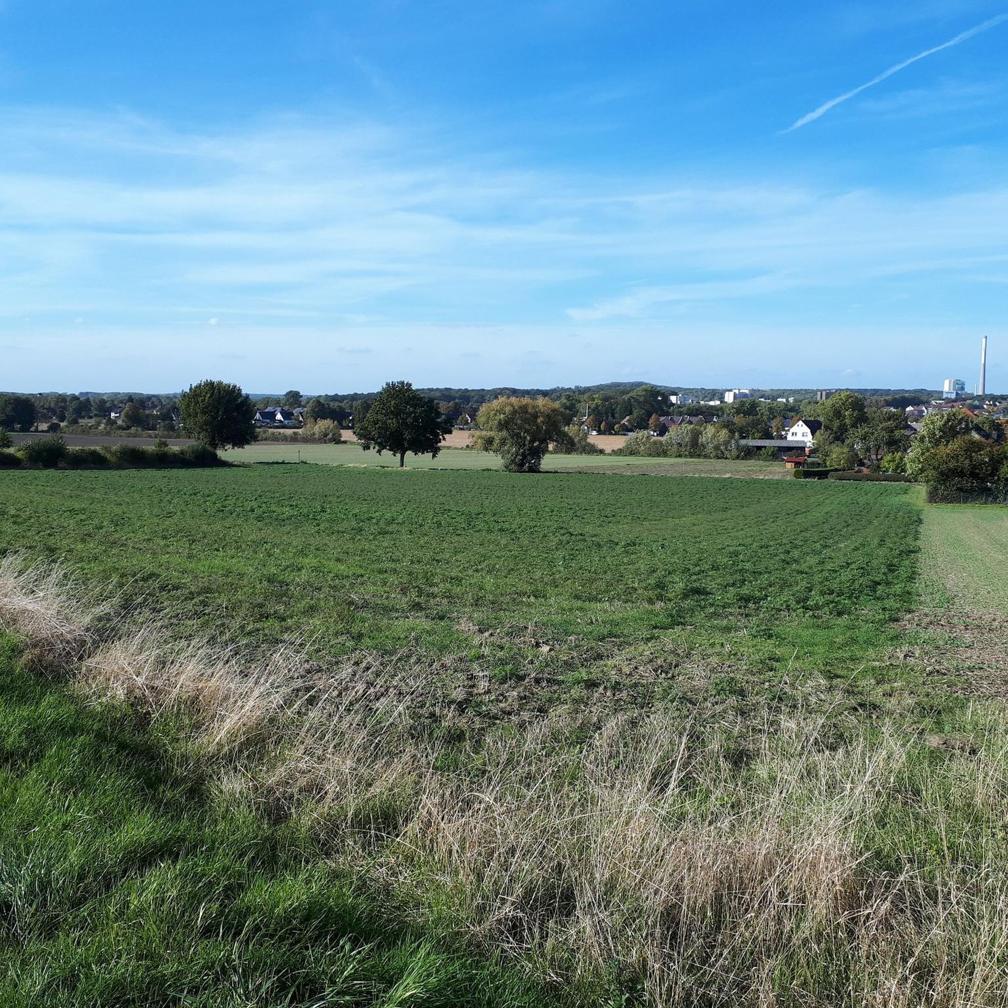
Varied landscape: fields, avenues, forests, fallow land.
2
1

Very beautiful old railway line runs through the area here.
2
1

With an area of 140 hectares and a height of 148 meters above sea level, the Bergehalde offers over 40 km of hiking trails. The corridor park, the tree plateau and the grass field are waiting to be discovered. During the hike you are surrounded by a colorful landscape and blue herbs. Once at the top, you will be rewarded with a fabulous view. You can enjoy the view from the "Adener Höhe" of the Münsterland, the Sauerland, the eastern and western Ruhr area.
16
1

The nature reserve is located on the eastern edge of Unna. To the north it extends to the city limits of Kamen. The Hamm-Unna railway line runs through the middle of the area from north to south. The Uelzener Heide is the best proof that the Ruhr region actually has much more to offer than closed mines and a dense network of motorways. Source: naboo. en
6
0

The Beversee is a lake in the northern part of the town of Bergkamen in North Rhine-Westphalia. The forest lake is around 700 m long, 100 m wide and up to 6 m deep. It was formed between 1940 and 1942 in a depression caused by mountain subsidence. The valley is traversed by the Beverbach, a tributary of the Lippe, which is dammed at the western end of the lake in front of the Datteln-Hamm Canal. The size of the lake is regulated with the help of a pumping station. The Beversee is part of the 100-hectare[2] nature reserve of the same name, one of three nature reserves in Bergkamen. It is surrounded by a hiking trail, the entrances to which are at the Marina Rünthe (at the end of Hafenweg), on the B 233 and at the Bergkamen power station at the height of the canal barrier. At the latter two there are information boards about the lake and the nature reserve. From the Emscher Park cycle path, which runs on the other side of the canal, you can reach the lake via the barrage; the Römer-Lippe-Route long-distance cycle route runs on the canal side towards the lake. On the southern shore there is a small lookout tower overlooking the lake. The lake is part of the industrial heritage route, along with the marina, the canal and the neighboring Großes Holz heap.
6
0

Good way to drive.
4
3

Very very nice wooded area with paths going up and down. A break on the platform at the lake is worthwhile: many dragonflies.
4
0

komootモバイルアプリでインスピレーションを得よう


さらに探索
これらのガイドで、最高の洞窟を探す範囲を広げましょう仮面での:
