ルート

プランナー

機能

アップデート

App

ログインまたはサインアップ

アプリを入手

ログインまたはサインアップ

ルート
Places to see
Natural Monuments
オーストリア
スティリア
ムーラウ

ランテン

ランテンの天然記念物・トップ20


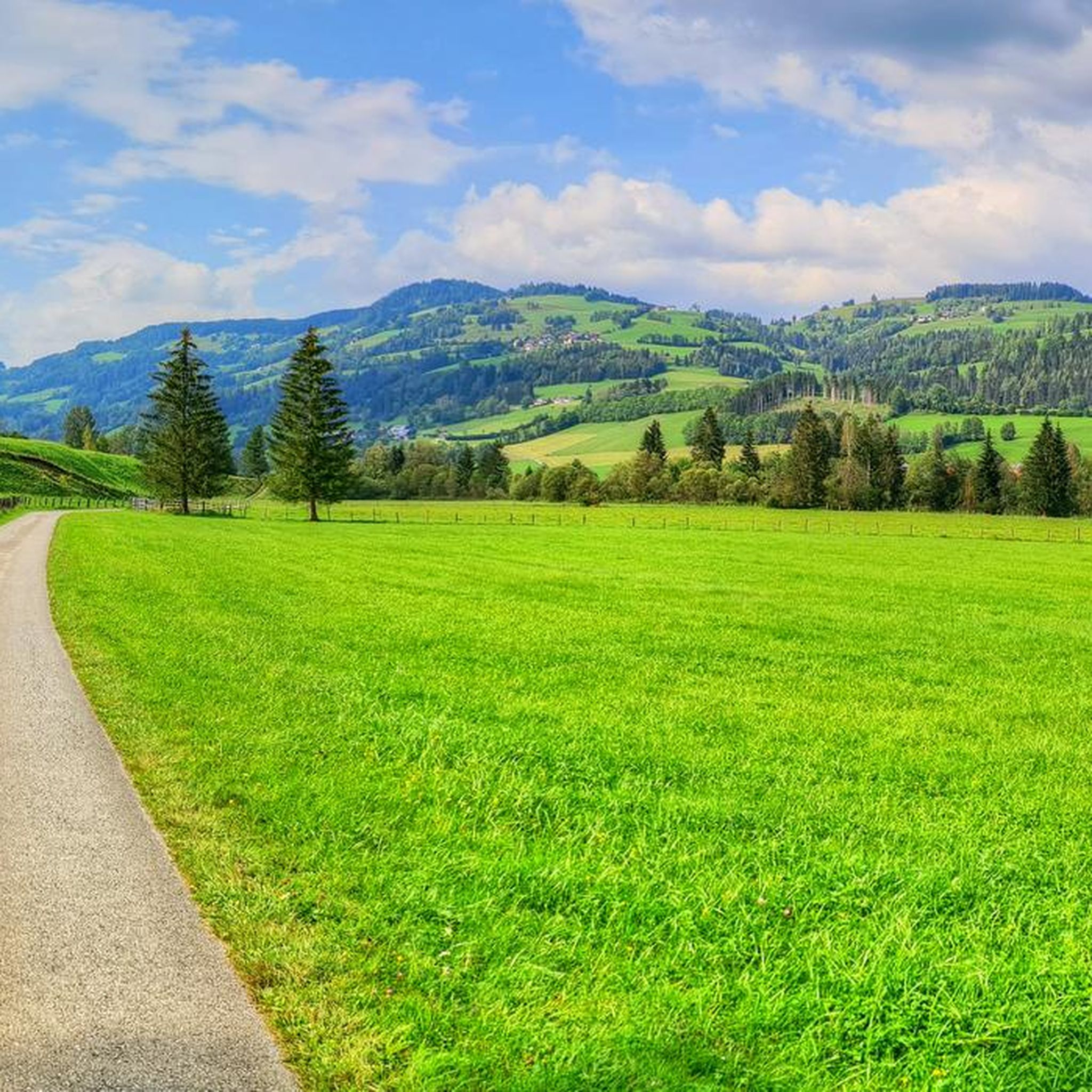
ランテンが誇る美しい風景を見てみたいなら、ランテンの素晴らしい天然記念物・トップ20
に行ってみましょう。あなたにぴったりの場所が見つかるよう、素晴らしい天然記念物を探索するために必要なすべての情報を集めました。次のアウトドアの冒険に出かける計画の参考にしましょう。

最終更新日: 8月 31, 2026

プレーバー山頂の十字架

ハイライト • 山頂

Depending on your condition, it takes about 2 to 3 hours from the parking lot at Prebersee to the summit of the Preber. The ascent is very smooth and safe …

翻訳者 Google •

役立つ情報

によるものです

ここでのハイキングを見る

スマートフォンに送信

保存

ギュンスタ―滝

ハイライト • 滝

Nice little waterfall, passable on root path and wooden stairs

翻訳者 Google •

役立つ情報

によるものです

保存

今すぐサインアップして、こんな場所を発見しよう

最高のシングルトラック、ピーク、その他のエキサイティングなアウトドアスポットのおすすめを受け取ろう。

無料新規登録

フラウエンアルペのアポロニア礼拝堂

ハイライト • 宗教的な場所

Beautiful little chapel on the Frauenalpe. There are also benches here that invite you to take a break.

翻訳者 Google •

役立つ情報

によるものです

保存

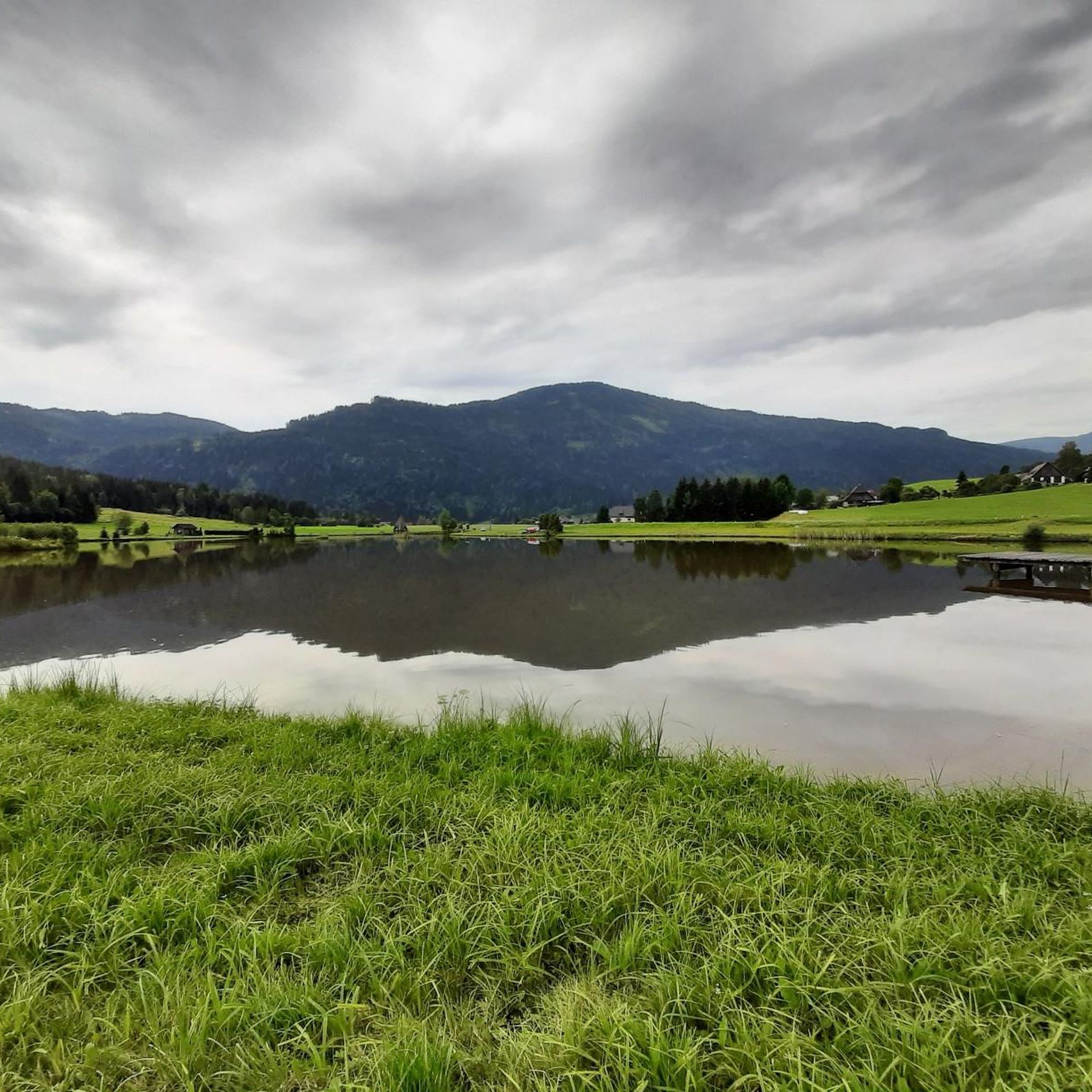
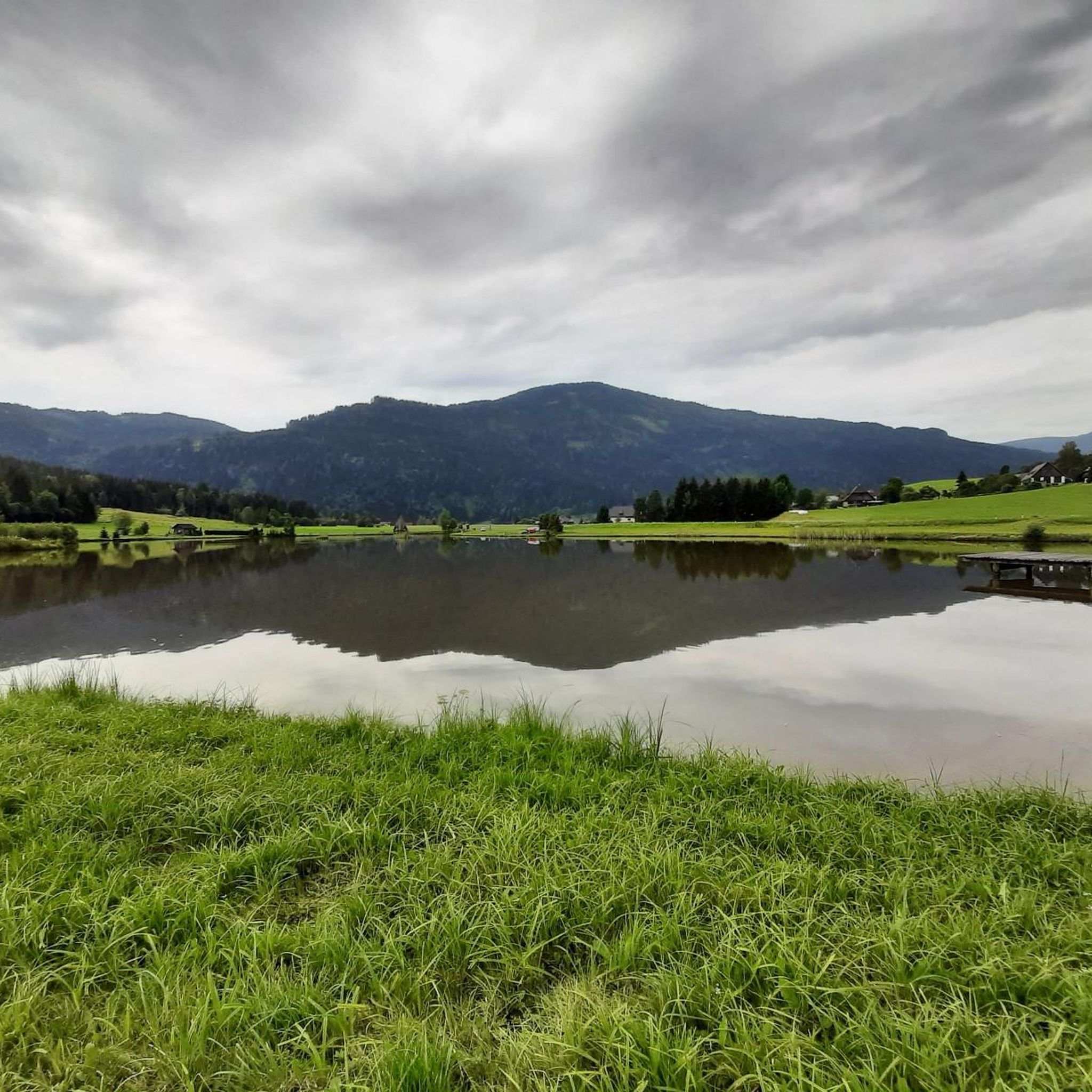
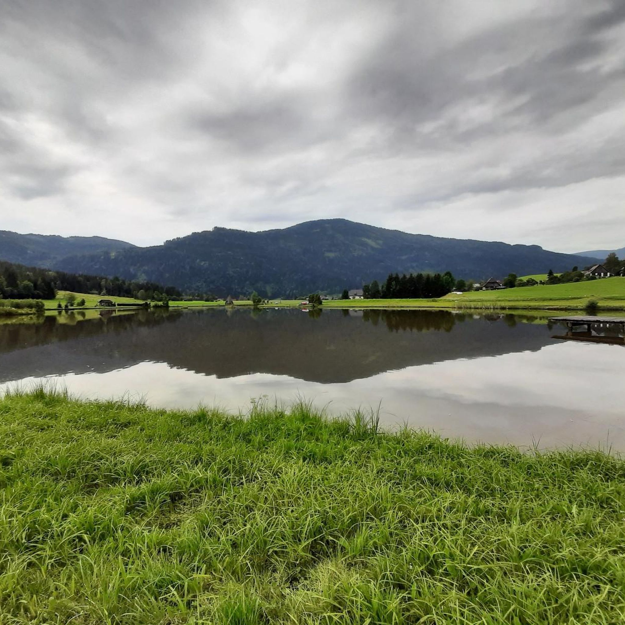
プレーバーゼー

ハイライト • 湖

The mysterious Prebersee lies embedded in a friendly sun spot at an altitude of 1,514 meters. Suspended matter from the moor is dissolved in it, which gives the water surface …

翻訳者 Google •

役立つ情報

によるものです

保存

プレーバー湖

ハイライト • 湖

Great way to cool off on hot summer days! Well, some people don't really care about the temperatures, they even go into the water when it's a cool 18 degrees and it's raining... Must be really warm in there...

翻訳者 Google •

役立つ情報

によるものです

保存

無料でサインアップして、さらに多くの自然記念物を発見しましょう ランテンでの。

無料新規登録

すでにアカウントをお持ちですか?

無料アカウントで今日から始めよう

次の冒険が待っています。

ログインまたは登録
ランテン周辺で人気

Natur erleben: Dein Wanderurlaub am Bauernhof

ランテンでのハイキング

ランテンのランニングコース

ランテンのロードバイクルート

ランテンでのサイクリング

ランテンでの登山&山歩き

ランテンのMTBトレイル

ランテンでのの他の冒険

Natur erleben: Dein Wanderurlaub am Bauernhof

ハイキングのコレクション によって

Urlaub in Österreich

コミュニティからのヒント

BAMA
8月 29, 2025, Prebersee

A very special place. Just check it out on a tour. 🤩👀

Google翻訳による翻訳

0

0

Very worth seeing, you have to see it

Google翻訳による翻訳

0

0

Very worth seeing, you have to see it

Google翻訳による翻訳

0

0

07/2024: Travel by car to Murauer Hut. You should be there early enough to get a spot, otherwise try a little further down at the hotel. It's 6.5km and 400m of elevation to the Frauenalpe there and back. It's easy to walk, good path. No problem with a dog either. Wonderful panorama at the top, sloping steeply to the southeast. At the end you can stop at the Murauer Hut and start the way back.

Google翻訳による翻訳

4

0

Located just below the summit cross. Nice photo opportunity. Unfortunately it was closed when I visited.

Google翻訳による翻訳

0

0

Short stop on the way to the summit cross

Google翻訳による翻訳

1

0

The road goes directly from Murau to the summit cross

Google翻訳による翻訳

0

0

Depending on your condition, it takes about 2 to 3 hours from the parking lot at Prebersee to the summit of the Preber. The ascent is very smooth and safe and easy to manage even for beginners Upstairs has my breathtaking view If you like, you can walk west along the ridge in the direction of Roteck. The path to the junction is not entirely harmless, and sure-footedness and a head for heights are a prerequisite! But it is also doable for inexperienced people with caution. (If you like, you can still go to the Rotec. Unfortunately, the ascent to the Roteck is not marked and is only recommended for experienced hikers). It then goes down into the valley via the Prebertal, a beautiful and easy descent with spectacular views. At the end don't forget to look up again to realize where you were

Google翻訳による翻訳

4

0

ランテンでのの人気ルート

ランテンでのハイキング

ランテンでのの人気観光スポット

Places to see

Store rating

komootモバイルアプリでインスピレーションを得よう

無料のkomootアカウントがあれば、無限のアウトドアコースを簡単に見つけてカスタマイズし、ナビで案内できます。

または

今すぐkomootに参加しよう

Store rating

さらに探索

これらのガイドで、最高の洞窟を探す範囲を広げましょうランテンでの:

Stadl-Predlitzクラクフノイマルクトインデアシュタイアーマルクミューレンシャイフリングオーバーヴェルツザンクトペーターアムカンマースベルクシュレーダーザンクト・ランブレヒトTeufenbach-KatschNaturpark Grebenzen - FurtnerteichニーダーヴェルツSt.Georgen am KreischbergNaturschutzgebiet Krakau-SchöderWest- U. Ostabhänge Des ZirbitzkogelsNaturschutzgebiet - Teil Der Steirischen Nockberge

近くのアドベンチャーガイド

St.Georgen am Kreischbergでやるべきこと

background

新しいピークを征服する準備をしよう

無料でサインアップ

探検する
ルートルートプランナー機能バウチャーを利用ハイキングMTBトレイルロードバイクルートバイクパッキングサイトマップ
アプリをダウンロード
SNSでフォローする

© komoot GmbH

プライバシーポリシー