ラミングシュタインの峠・トップ20
最高の峠は、オーストリア、ザルツブルク州のルンガウ地方、シュタイアーマルク州とケルンテン州の国境近くに位置しています。この地域は、丸みを帯びた草の生い茂る山頂が特徴のユネスコ生物圏保護区「ザルツブルガー・ルンガウ&ケルンテン・ノックベルゲ」の一部です。ラミングシュタインは、ルンガウアー・ノックベルゲ山脈を探検するための出発点として機能し、高所やルートへのアクセスを提供します。この地域は、より高い山岳地帯とその峠に到達するための拠点となります。
ラミングシュタイン周辺の最高の峠
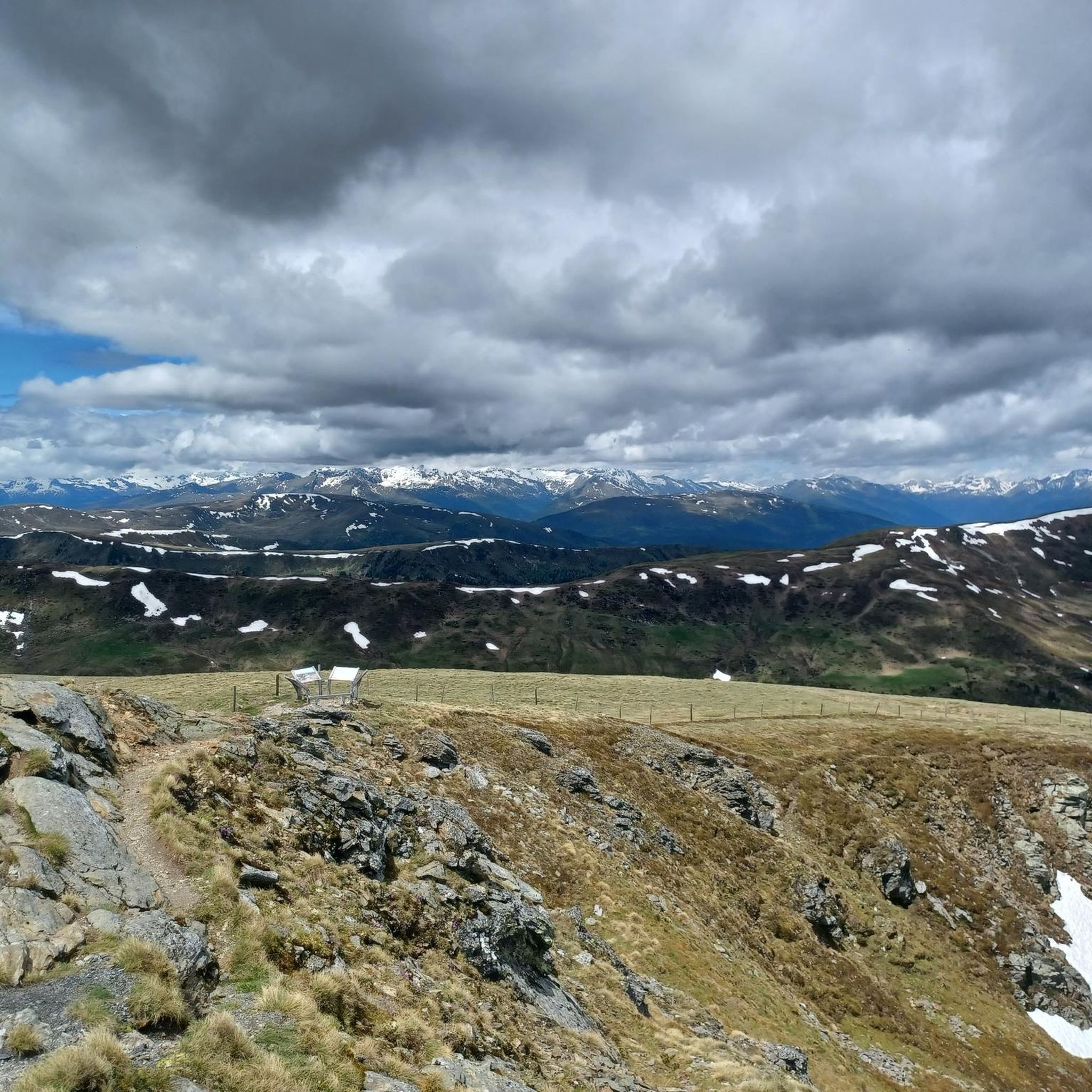
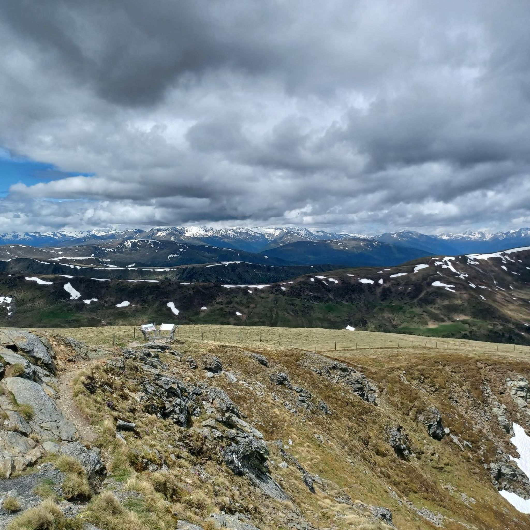
- 最も人気のある峠は、ノックアルムシュトラーセの最高地点である標高2,042mのアイスンタールヘーエです。この峠は素朴な雰囲気を持ち、ルート沿いの注目すべき立ち寄り地点となっています。
- もう一つの必見スポットは、風光明媚な峠であるインナークレムス~クレムスブリュッケ通り(クレムスタール)です。このルートは長い下り坂が特徴で、一部急勾配のセクションもあり、変化に富んだ体験を提供します。
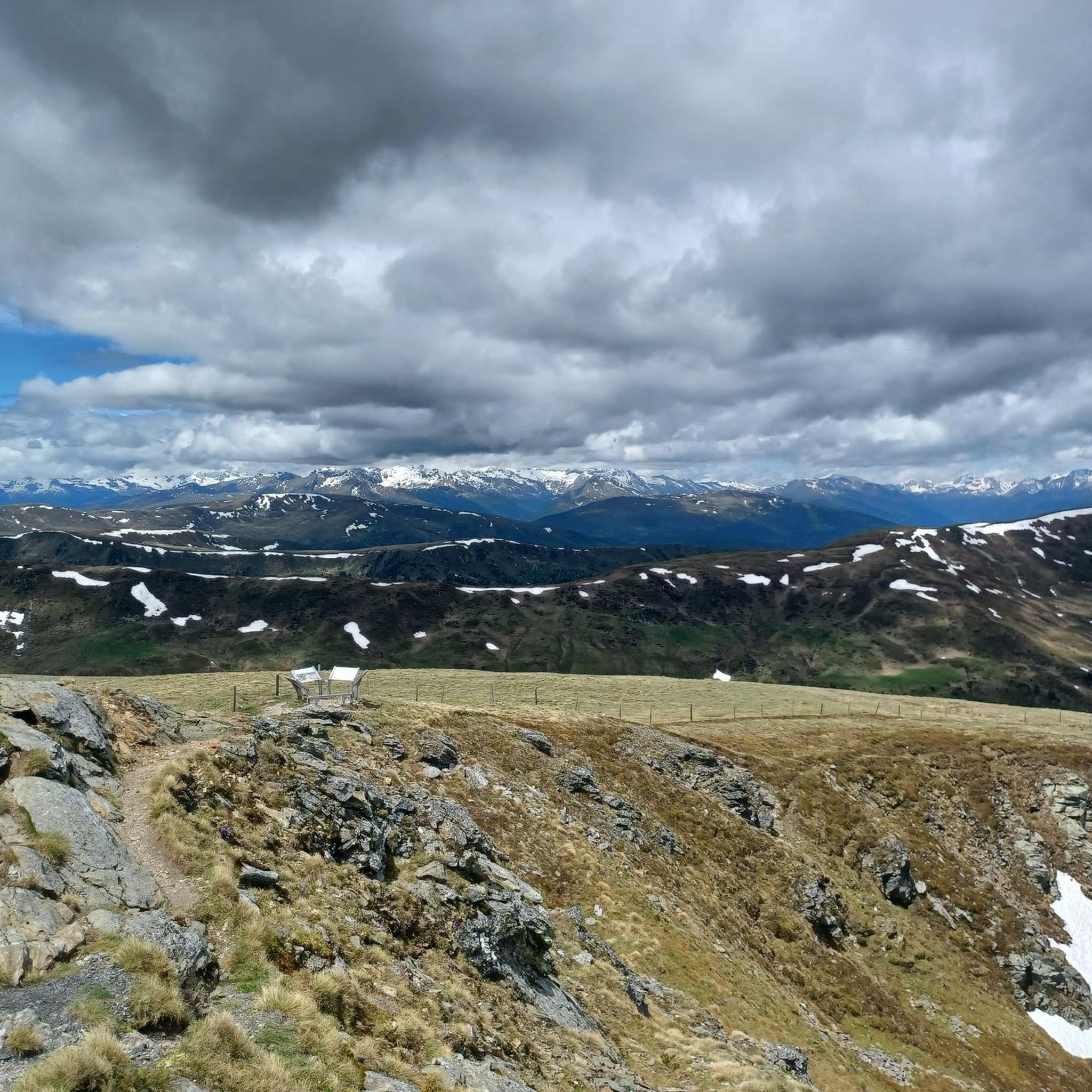
- 訪問者は、峠の機能を持つ自然記念物であるノック山脈も気に入っています。この地域は、主要な国際的な長距離ハイキングコースで知られており、探検するための無数の小道を提供しています。
- ラミングシュタインは、高地の峠、風光明媚な山道、ノックベルゲ山脈を通るルートで知られています。この地域は、探検するための様々な峠を提供しています。
- ラミングシュタイン周辺の峠は、150件以上の「いいね!」と160枚以上の写真が寄せられており、komootコミュニティに高く評価されています。
最終更新日: 8月 31, 2026
三湖トレイル登山口(トゥラッハー・ヘーエ)
ハイライト • トレイル
翻訳者 Google •
役立つ情報 は

アイゼンタールホーエ(標高2042m)
ハイライト • 山道
翻訳者 Google •
役立つ情報 は

今すぐサインアップして、こんな場所を発見しよう
最高のシングルトラック、ピーク、その他のエキサイティングなアウトドアスポットのおすすめを受け取ろう。
無料新規登録
インナークレムスからクレムスブリュッケへの道路(クレムス谷)
ハイライト (セグメント) • 山道
翻訳者 Google •
役立つ情報 は

トゥラッハー・ヘーエ 23% クライム
ハイライト (セグメント) • 登山
翻訳者 Google •
役立つ情報 は

ノックベルゲ
ハイライト • 自然記念物
翻訳者 Google •
役立つ情報 は

無料でサインアップして、さらに多くの山道を発見しましょう ラミングシュタインでの。
無料新規登録
すでにアカウントをお持ちですか?



コミュニティからのヒント

Turracher Höhe Here you stand at 1,763 meters above sea level on the Styrian side of Lake Turracher See. The border between Styria and Carinthia runs right through the middle of the lake. Tourism has been here since the end of the 19th century. The region is located within the UNESCO Nockberge Biosphere Reserve. With Turracher Höhe, you've chosen a place in the sun. The climate here is unique in Austria. The forests support the regenerating, gentle climate (high air purity), and the altitude ensures a stimulating climate (stimulating the human metabolism).
0
0

...when driving along the Nockalm Road, you should definitely take a detour here! 🥾☕️👀
1
0
...a beautiful hiking area, not only in winter ❄️🥾👀
3
0


This is the best place to start the 3 Lakes hike. There are enough parking spaces available. The path is well signposted and is nice to walk.
0
0

Important: be aware that this is a 500m climb with a gradient of more than 20%! This is almost impossible to drive while sitting (you almost have to drive in aero position so that the front wheel doesn't lift off). At the top the mountain becomes a little more bearable. So apart from the 20%, it's a very steep but consistent climb that demands everything from you. Unfortunately it's a ski area at the top and there's no really worthwhile view. But you have a very long descent into the Murr Valley ahead of you
0
0

One of the major transnational long-distance hiking trails in this region is the "ALPE-ADRIA-Trail", which leads from the Großglockner over the Nockberge Mountains to Slovenia and further south of Trieste, then to the Mediterranean Sea. Anyone who would like to take a closer look at the first glimpse can follow the route in the ARD media library: there is a two-part (one-hour total) documentary about this tour as part of the Bavarian television program "freizeit. Schmidt Max ...". with their scenic and cultural features. Link to Part 1: https://www.ardmediathek.de/video/freizeit/schmidt-max-wandert-1-2/br-fernsehen/Y3JpZDovL2JyLmRlL3ZpZGVvLzJiMWY5OTIwLWQxY2ItNDVlNy05NzUwLTk1ZDkxZDk2Y2Y4ZA Link to part 2: https://www.ardmediathek.de/video/freizeit/schmidt-max-wandert-von-den-alpen-zum-meer-2-2/br-fernsehen/Y3JpZDovL2JyLmRlL3ZpZGVvLzEyODRjYmFiLWUxNTUtNDM2Ny1iODQwLTA3MTY4OWM0YWNhOQ Of course, there is also a suitable hiking collection on Komoot itself: https://www.komoot.de/collection/314/grenzenlos-wandern-am-alpe-adria-trail
1
0

I like driving steep ramps, I love such challenges! If you like it even steeper: Hirschbichl/Lofer 30%, Passo Forcella (Friuli) 28%, Alpe Fuori 32% (total: 5.5km with 1200m elevation gain...) to name just a few...
3
0
ラミングシュタインでのの人気観光スポット

komootモバイルアプリでインスピレーションを得よう


さらに探索
これらのガイドでさらに壮大な山道を見てみましょうラミングシュタインでの:
