クラウス・アン・デア・ピルンバーンの天然記念物・トップ20
クラウス・アン・デア・ピルンバーンが誇る美しい風景を見てみたいなら、クラウス・アン・デア・ピルンバーンの素晴らしい天然記念物・トップ20
に行ってみましょう。あなたにぴったりの場所が見つかるよう、素晴らしい天然記念物を探索するために必要なすべての情報を集めました。次のアウトドアの冒険に出かける計画の参考にしましょう。
最終更新日: 8月 31, 2026
シーダーヴァイアー
ハイライト • 湖
翻訳者 Google •
役立つ情報 は

カースベルク山頂の十字架
ハイライト • 山頂
翻訳者 Google •
役立つ情報 は

今すぐサインアップして、こんな場所を発見しよう
最高のシングルトラック、ピーク、その他のエキサイティングなアウトドアスポットのおすすめを受け取ろう。
無料新規登録
グローサー・プリール
ハイライト • 山頂
翻訳者 Google •
役立つ情報 は

ピューリンガーヒュッテ
ハイライト • 山小屋
翻訳者 Google •
役立つ情報 は


無料アカウントで今日から始めよう
次の冒険が待っています。
ログインまたは登録
クラウス・アン・デア・ピルンバーン周辺で人気
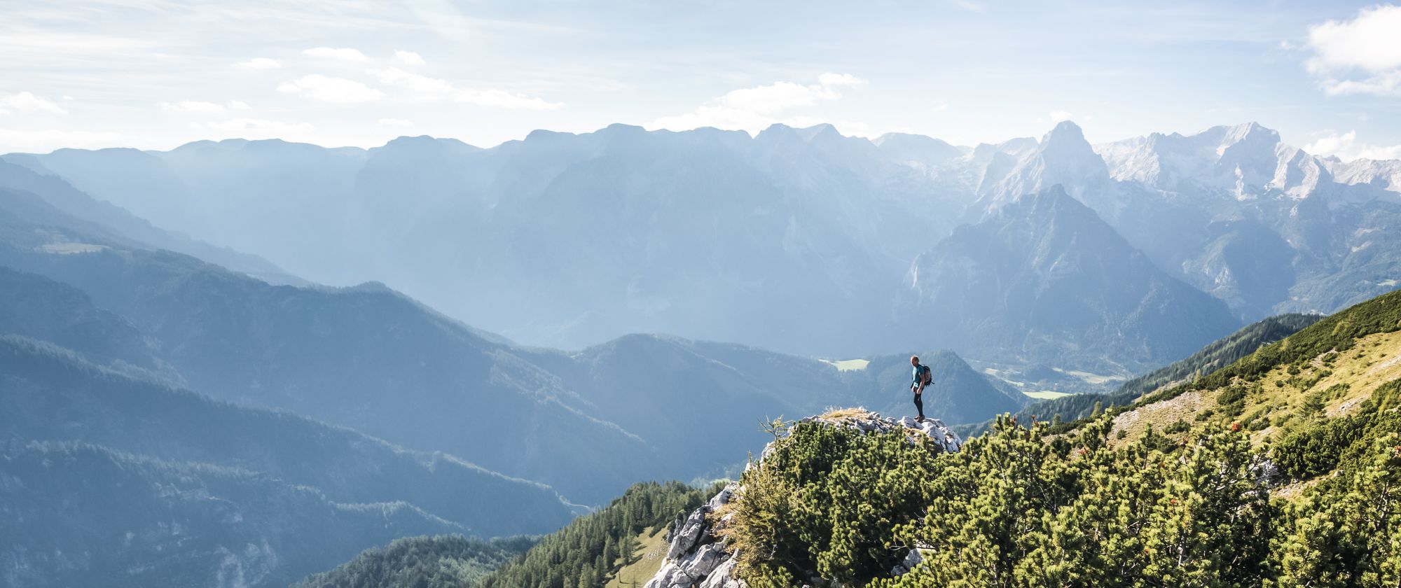
From a family hike to a summit climb – hiking in Pyhrn-Priel
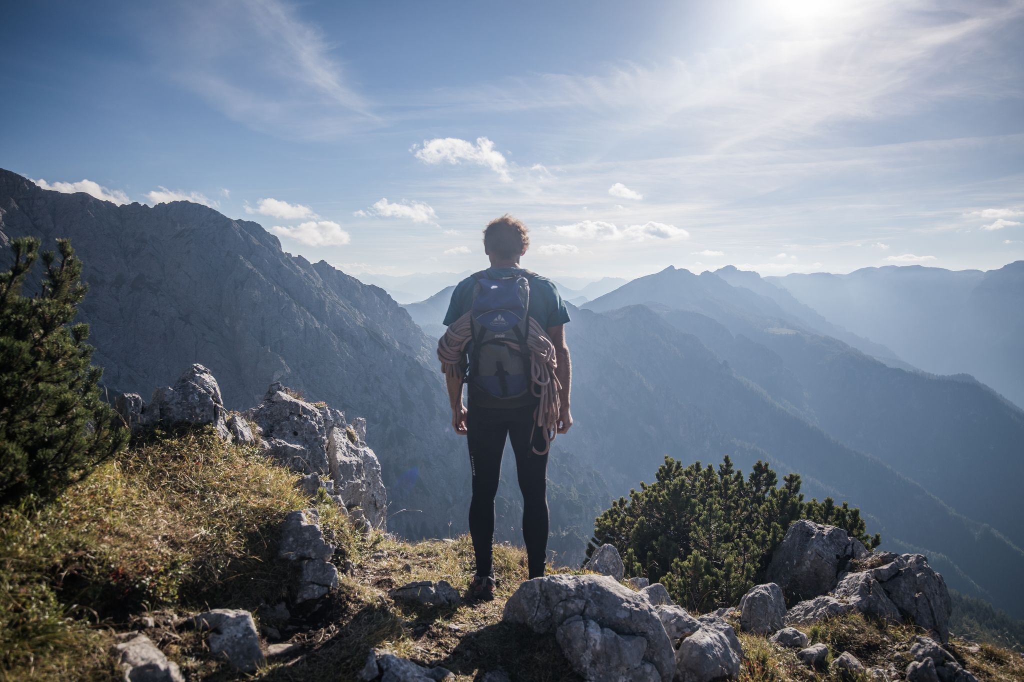
From a family hike to a via ferrata – hiking in Pyhrn-Priel
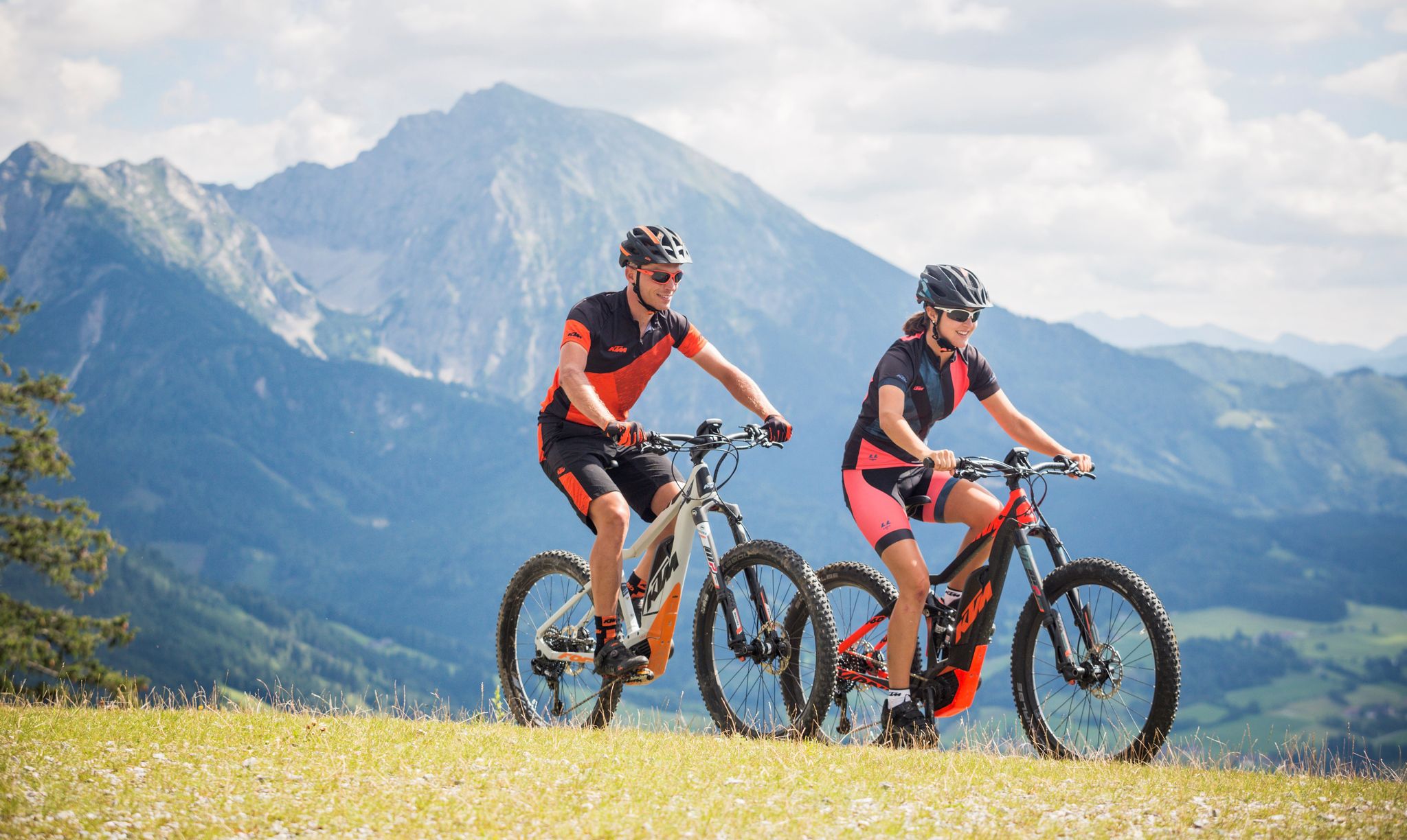
Where biker hearts beat faster — the Limestone Alps in Pyhrn-Priel
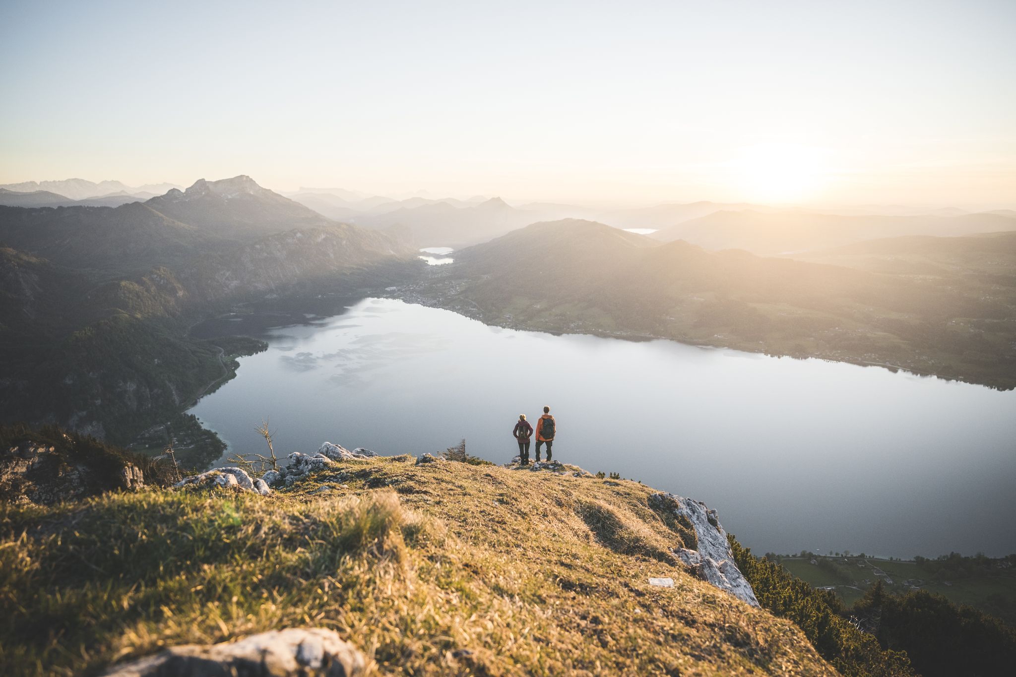
Explore the Salzkammergut on the BergeSeen Trail
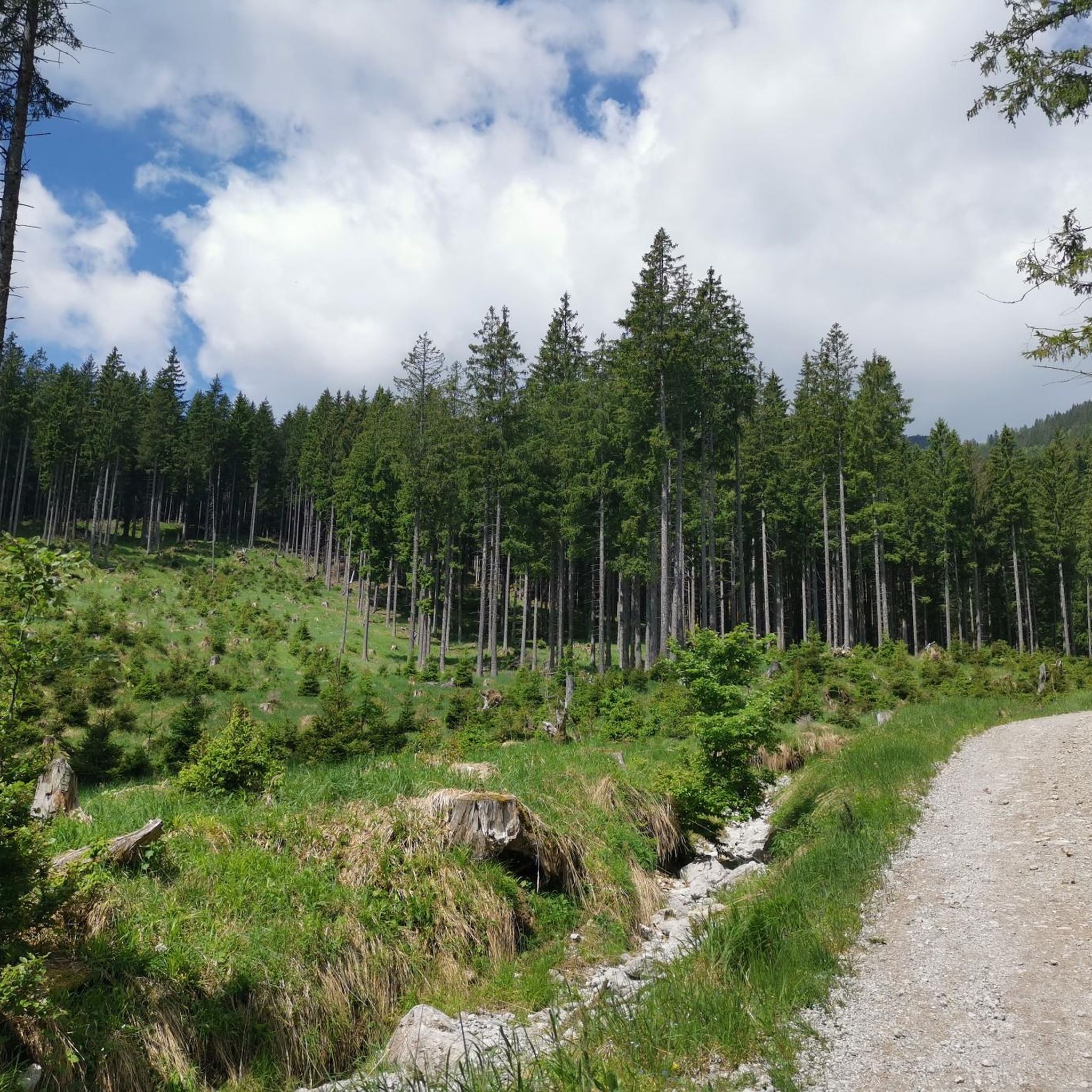
クラウス・アン・デア・ピルンバーンでのハイキング
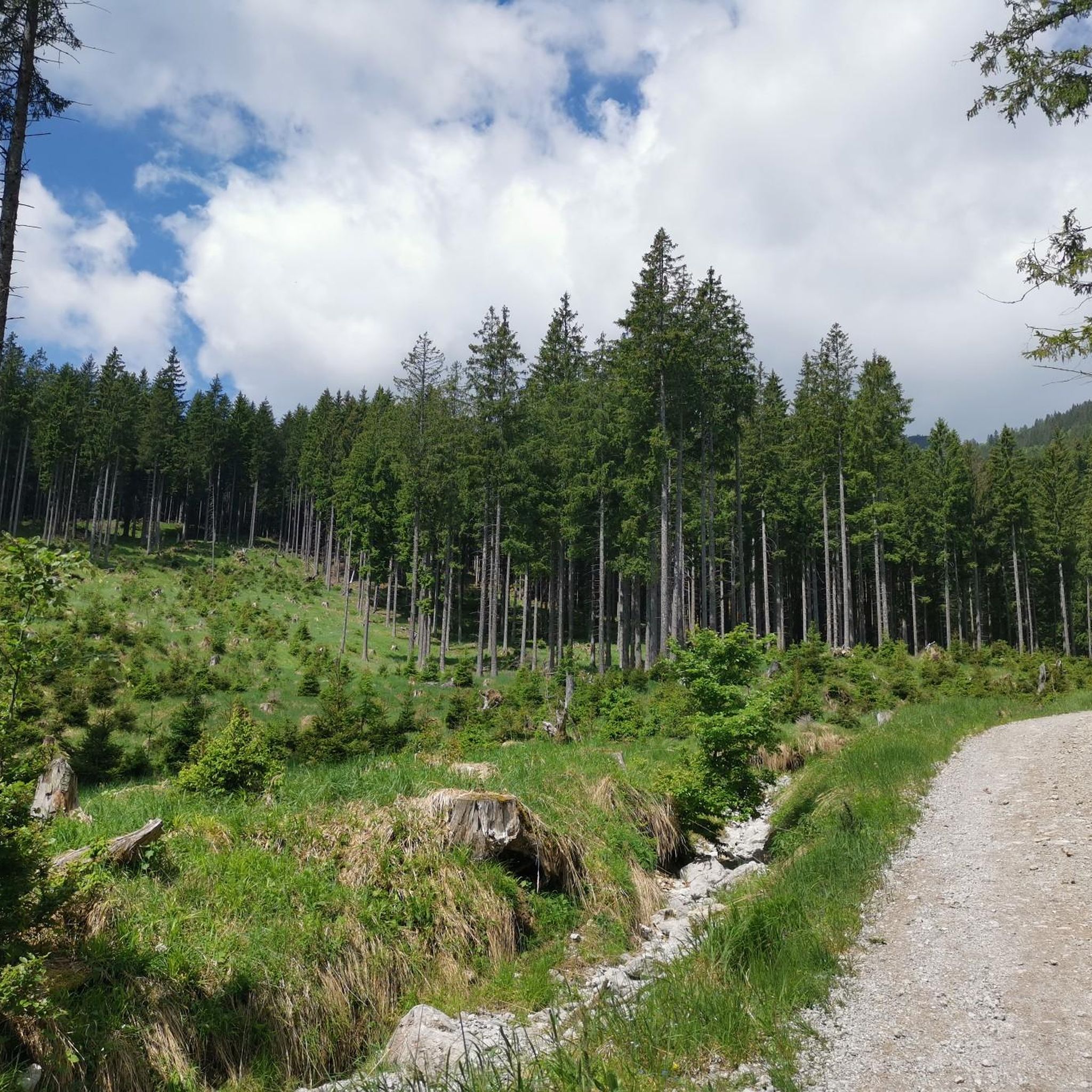
クラウス・アン・デア・ピルンバーンでのサイクリング
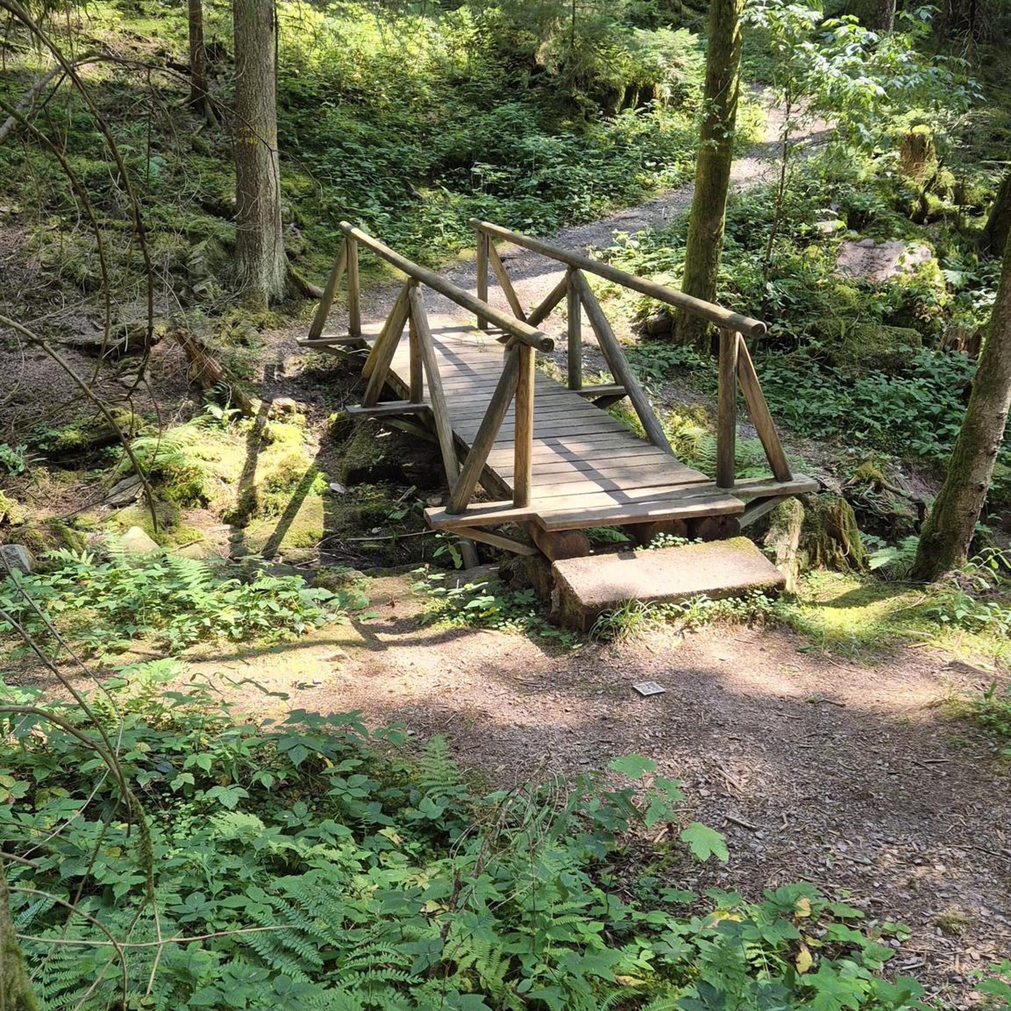
クラウス・アン・デア・ピルンバーンでの登山&山歩き
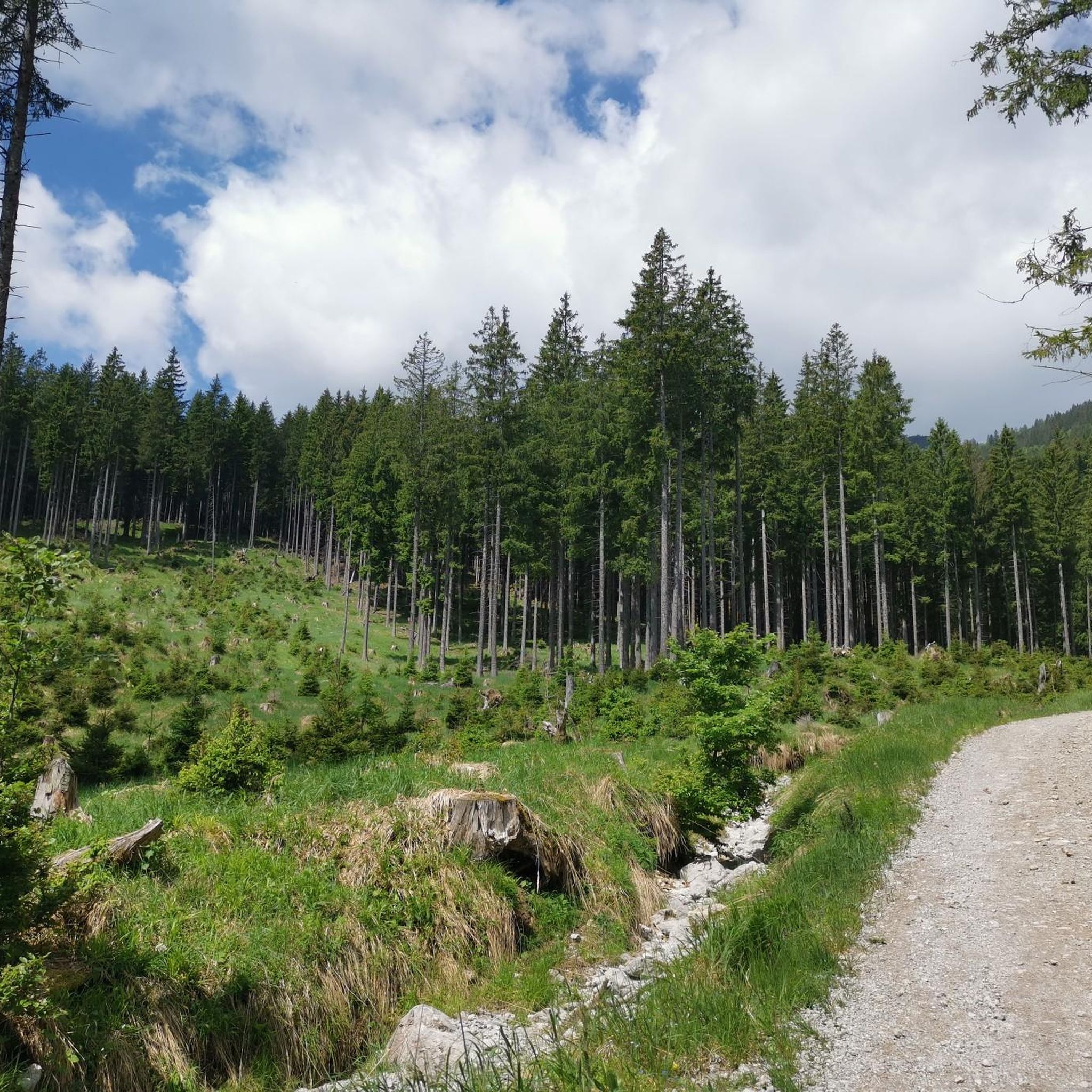
クラウス・アン・デア・ピルンバーンのMTBトレイル
クラウス・アン・デア・ピルンバーンのロードバイクルート
クラウス・アン・デア・ピルンバーンのランニングコース
クラウス・アン・デア・ピルンバーンでのの他の冒険


コミュニティからのヒント


Beautiful path from the Sepp Huber Haus to the summit over rocks, pastures, meadows and through a mountain pine forest
0
0

Highest mountain in Upper Austria that is located entirely in Upper Austria. End point of the Priel via ferrata and a great mountain with a great view.
1
1

The walk around the lake is generally classified as easy and can usually be completed in 1 hour 45 minutes. Since the path is ideal for hiking and running, you are rarely alone.
5
1

A great summit that requires a lot of endurance. We went up via the via ferrata, which took about 4 hours. When we got to the top we felt fantastic :)
3
2
23 kilometers of perfectly groomed slopes in winter. Countless hiking trails to the most beautiful seats in summer.
7
0

クラウス・アン・デア・ピルンバーンでのの人気ルート
クラウス・アン・デア・ピルンバーンでのの人気観光スポット

komootモバイルアプリでインスピレーションを得よう


さらに探索
これらのガイドで、最高の洞窟を探す範囲を広げましょうクラウス・アン・デア・ピルンバーンでの:
