ゲマインデグラーベンの天然記念物・トップ20
ゲマインデグラーベンが誇る美しい風景を見てみたいなら、ゲマインデグラーベンの素晴らしい天然記念物・トップ20
に行ってみましょう。あなたにぴったりの場所が見つかるよう、素晴らしい天然記念物を探索するために必要なすべての情報を集めました。次のアウトドアの冒険に出かける計画の参考にしましょう。
最終更新日: 8月 31, 2026
オーバーブルガウ付近のモンドゼー
ハイライト • 湖
翻訳者 Google •
役立つ情報 は

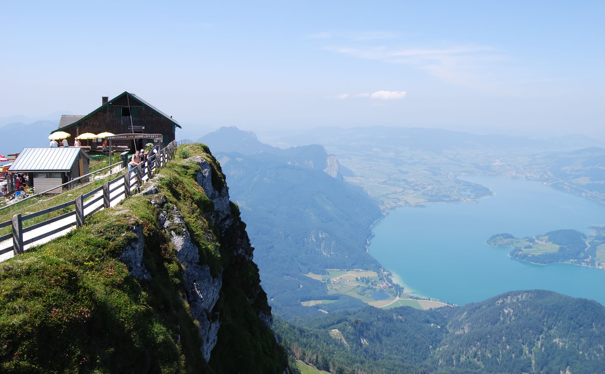
ショーバー山頂
ハイライト • 山頂
翻訳者 Google •
役立つ情報 は

今すぐサインアップして、こんな場所を発見しよう
最高のシングルトラック、ピーク、その他のエキサイティングなアウトドアスポットのおすすめを受け取ろう。
無料新規登録
フラウエンコプフ山頂の十字架
ハイライト • 山頂
翻訳者 Google •
役立つ情報 は

モントゼーの十字架石
ハイライト • 自然記念物
翻訳者 Google •
役立つ情報 は




コミュニティからのヒント


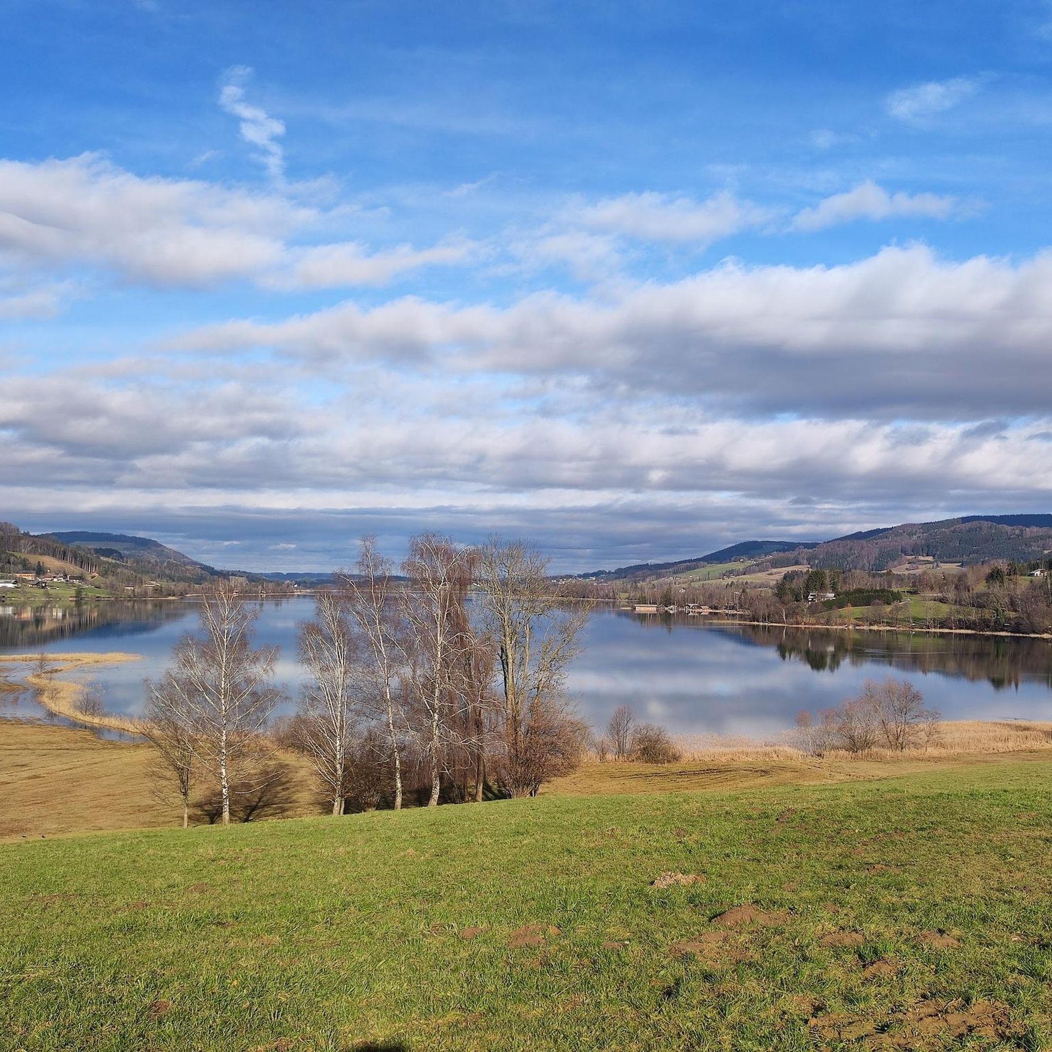
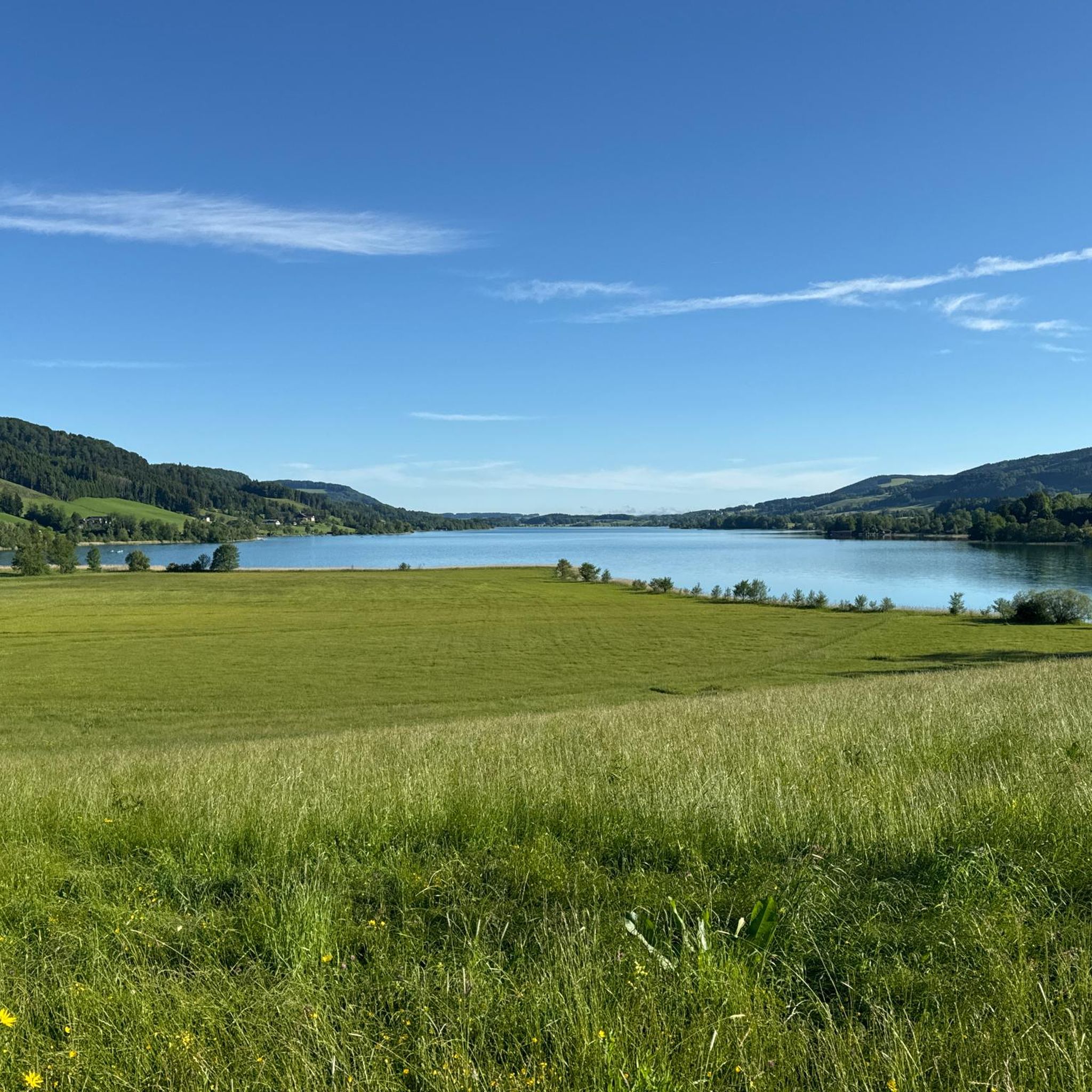
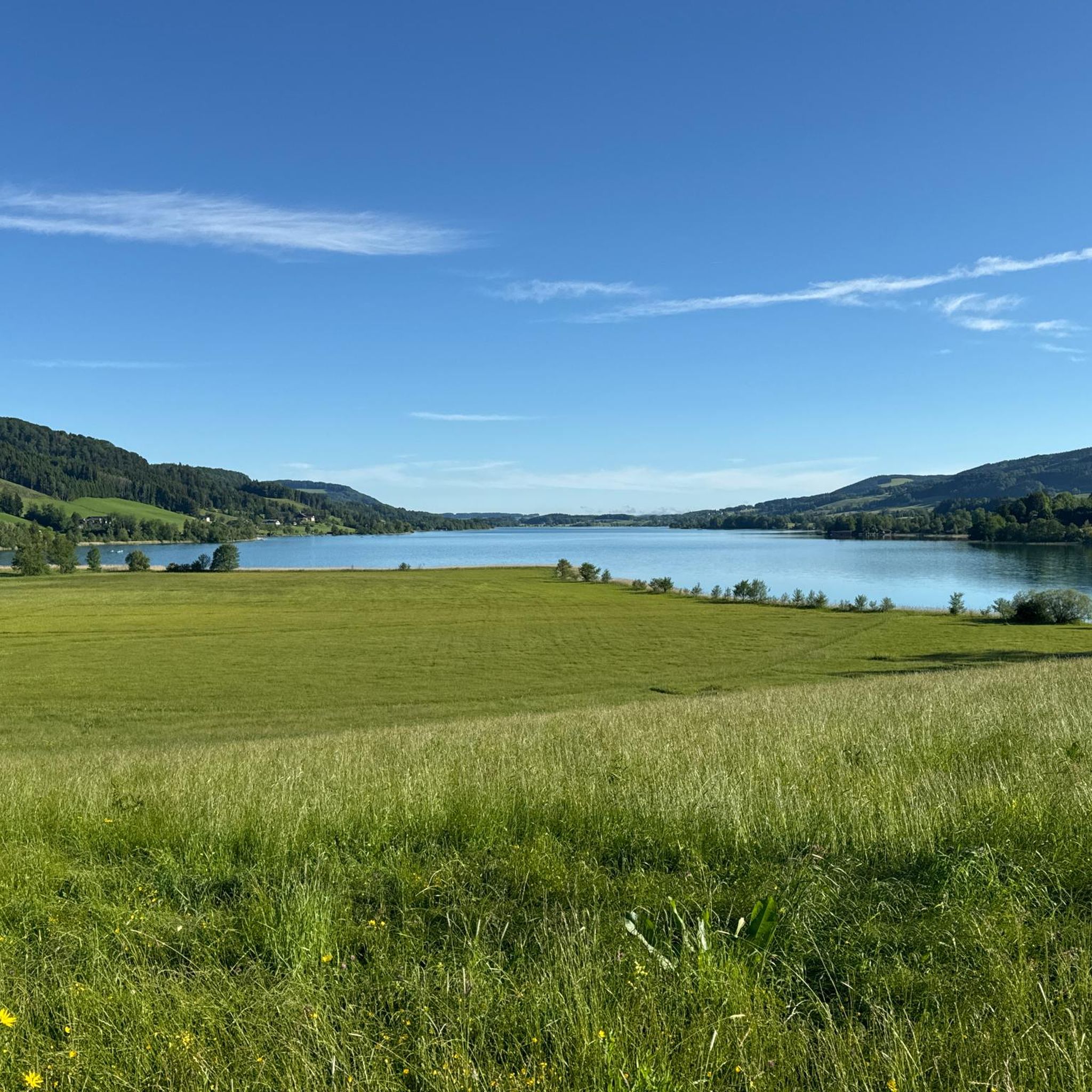
The Attersee is the largest lake in Upper Austria and is located in the Salzkammergut. The southern shore of the lake is framed by the foothills of the Schafberg.
3
1
The southern shore of Lake Attersee belongs to the federal state of Salzburg and the municipality of St. Gilgen. It is characterized by the foothills of the Schafberg and the Höllengebirge, which fall steeply down to the lake1. The village of Burgau is located on the south bank and is bordered by the Äußeren Weißenbach and the Seeache. The Seeache is the outflow of the Attersee, which drains into the Danube via the Ager. On the south bank there are also remains of prehistoric stilt houses, which are part of the UNESCO World Heritage. The southern shore of Lake Attersee is a popular destination for cyclists, who can ride along the lake or through the surrounding forests. There are also several bathing opportunities and viewpoints on the southern shore.
3
1
The limestone boulder is heavily eroded, especially at its base, so that it protrudes approximately 1.9 m from the water rather than vertically. It has a diameter of 2.1 m at the top, but only 1.3 m at the base. The boulder bears a vertical, approximately 1.8 m high Christian stone cross, which likely gave it its name. A geocache is also located on the boulder.
4
1
The Oberburgau is located 30 kilometers east of the city of Salzburg. It is around 8 kilometers south-east of the town center of the Mondsee market on the southern shore of the Mondsee (481 m above sea level) on the narrow strip of shore at the northern foot of the Schafberg in the Salzkammergut mountains. A few meters from the Mondsee shoreline is the Kreuzstein (Mondsee), which no longer belongs to Oberburgau, but like the entire Mondsee to the market town of the same name and thus to the state of Upper Austria. Opposite rise the Mondsee Flyschberge with the Hochplett.
6
1

Since the ascent doesn't take too long, you can do it after work and you'll always be rewarded with a great view!
2
0

A round Mondsee is about 25km and only a few Hm.
6
3

In the summer there is a lot of traffic, easy to drive.
4
1
ゲマインデグラーベンでのの人気観光スポット

komootモバイルアプリでインスピレーションを得よう


さらに探索
これらのガイドで、最高の洞窟を探す範囲を広げましょうゲマインデグラーベンでの:
