シュリュースルベルクの天然記念物・トップ4
シュリュースルベルクが誇る美しい風景を見てみたいなら、シュリュースルベルクの素晴らしい天然記念物・トップ4
に行ってみましょう。あなたにぴったりの場所が見つかるよう、素晴らしい天然記念物を探索するために必要なすべての情報を集めました。次のアウトドアの冒険に出かける計画の参考にしましょう。
最終更新日: 10月 11, 2026
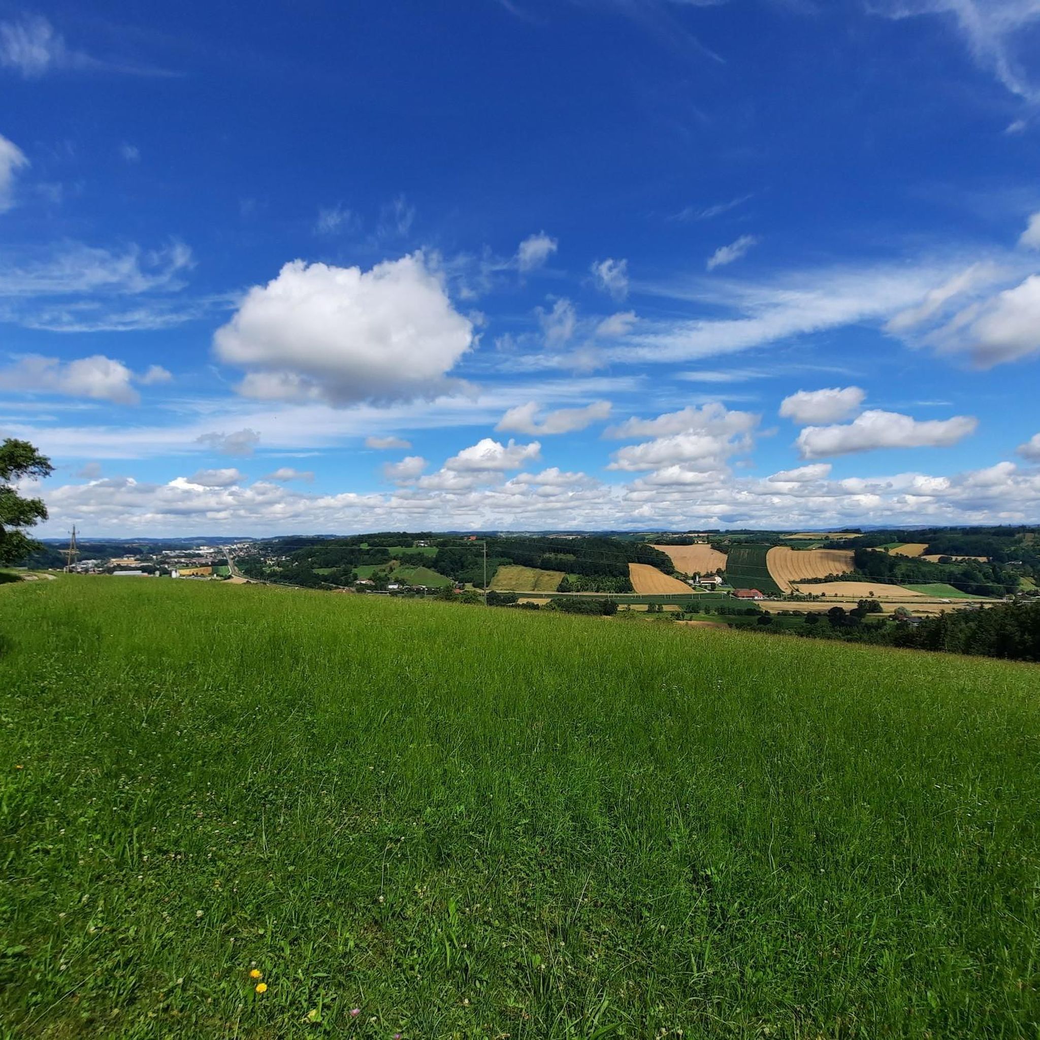
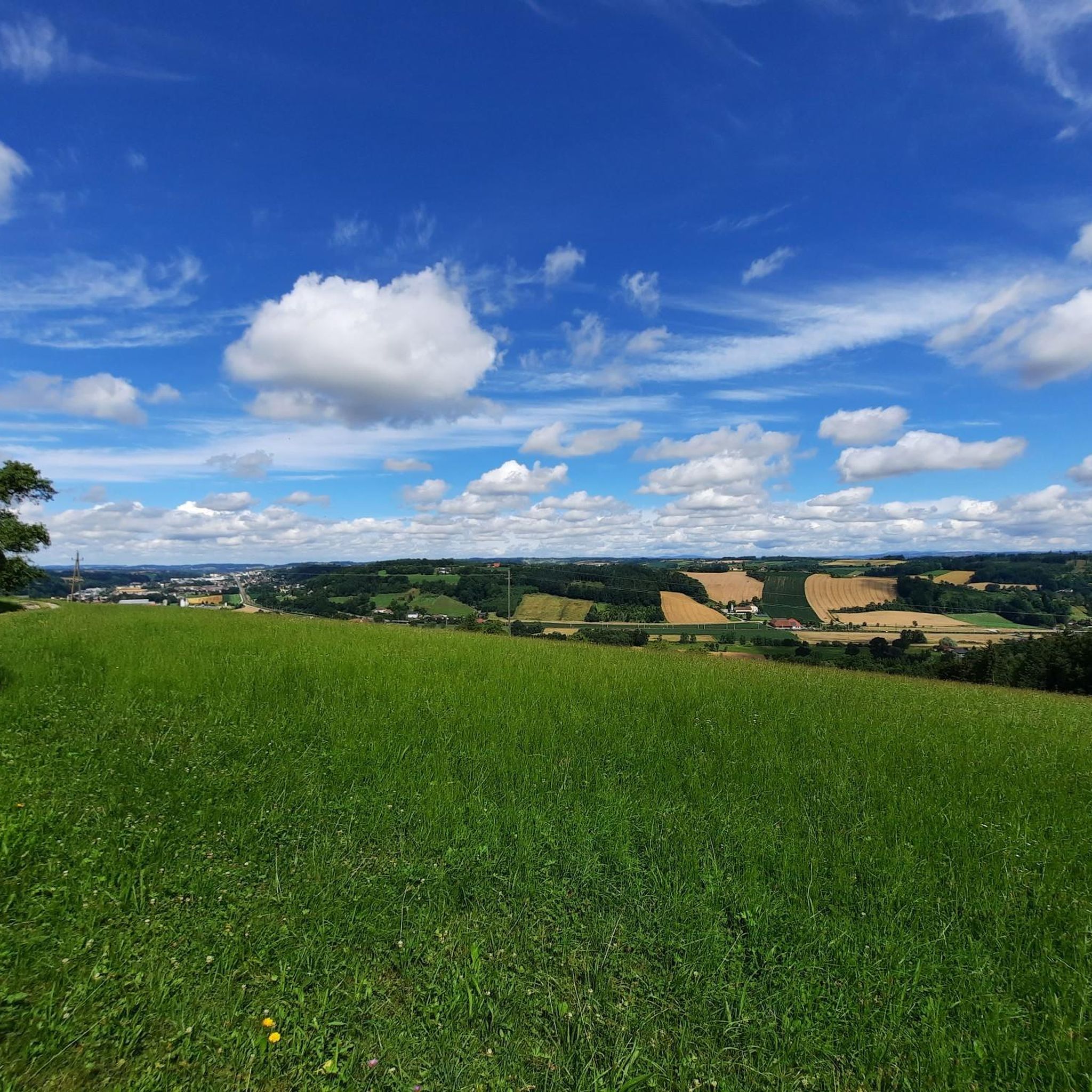
クライルベルク山頂の十字架(504m)
ハイライト • 山頂
翻訳者 Google •
役立つ情報 は

オーバーオーストリア州の地理的中心地
ハイライト • 記念碑
翻訳者 Google •
役立つ情報 は
今すぐサインアップして、こんな場所を発見しよう
最高のシングルトラック、ピーク、その他のエキサイティングなアウトドアスポットのおすすめを受け取ろう。
ガイザーガーデン(ユーロテルメンパーク・バート・シャラーバッハ)
ハイライト • 自然記念物
翻訳者 Google •
役立つ情報 は

バート・シャレルバッハのクアパルクにある硫黄温泉の噴水
ハイライト • 自然記念物
翻訳者 Google •
役立つ情報 は
コル・ド・ブライヴィーザー
ハイライト • 展望台
翻訳者 Google •
役立つ情報 は
無料アカウントで今日から始めよう
次の冒険が待っています。

コミュニティからのヒント

丸太は石の彫刻に置き換えられました。 ポイントはWels/Gunskirchenの境界にあるB1のすぐ隣にあります。Traun川沿いのBerg / Auの道路から、畑道と林道を通って(オフロード)自転車での代替アクセスも可能です。Gunskirchenの森林地帯の小道は、マウンテンバイクと経験者のみに推奨されます 🧐
0
0

Halfway point of the Krailbergrunde, good rest stop
1
0

Length: 5.7 km Duration: 1 hour 20 minutes Condition: asphalt; suitable for strollers/wheelchairs Tour features: “Col de Breitwieser” summit cross, view of the Totes Gebirge/Traunstein Starting in the town center through the Hermann-Erdpresser settlement towards Kröpfmühle, at the height of the Hausruckbau company, turn left through the railway underpass, left past the “Schachermayergut” up to the vineyard, back via the Franzlweg underpass and the old Rosenau to the town center.
1
1

Created for the State Garden Show 2009
0
1

The highest point in the Wels-Land district is on the Steindlberg at 513m. That's 9m higher than the famous Krailberg.
1
0
Coming from the south (vineyard), enter the forest, then turn left (do not go around the forest to the southwest, it will be difficult there), from the north (staffel) there are 2 steeper paths leading up, we used the left one around the outside, at the top it is then comfortably flat in the forest to the summit cross
1
0

Krailberg is the highest point in the Wels-Land district with a height of 504 meters. It lies on the border of the communities of Bachmanning, Neukirchen and Pennewang. There is a summit cross on the Krailberg that was built in 2011. Krailberg is a popular destination for hikers who can enjoy beautiful hiking trails through picturesque forests. There are several routes to reach the summit, starting from various villages in the area. Some of the most recommended are: Hike from Bachmanning: This is a 9.5 km long hiking trail that starts from the Bachmanning town hall and passes the St. Leonhard Chapel and the Bachmanning Castle before reaching the summit of Krailberg. Hike from Neukirchen: This is a 7.5 km long circular route that starts from the Neukirchen multi-purpose hall and follows a forest road to the summit of the Krailberg. Hike from Pennewang: This is a 6.5 km long circular route that starts from the Pennewang church and crosses the fields and forests to the summit of the Krailberg.
2
3
Krailberg is a peak in Wels-Land, Austria, with an elevation of 504 meters. It is the highest point in the Wels-Land district, where the communities of Bachmanning, Neukirchen and Pennewang meet. There are several hiking trails leading to the summit, with varying degrees of difficulty. A popular starting point for a hike to Krailberg is Pennewang, where you can park at the community square. The hike lasts about 2 hours and 15 minutes and covers a distance of about 10 km with a vertical drop of 190 meters. The trail consists of asphalt roads, forest trails and gravel roads.
9
1
シュリュースルベルクでのの人気観光スポット

komootモバイルアプリでインスピレーションを得よう


さらに探索
これらのガイドで、最高の洞窟を探す範囲を広げましょうシュリュースルベルクでの:
