ミッタードルフ・アン・デア・ラーブの天然記念物・トップ20
ミッタードルフ・アン・デア・ラーブが誇る美しい風景を見てみたいなら、ミッタードルフ・アン・デア・ラーブの素晴らしい天然記念物・トップ20
に行ってみましょう。あなたにぴったりの場所が見つかるよう、素晴らしい天然記念物を探索するために必要なすべての情報を集めました。次のアウトドアの冒険に出かける計画の参考にしましょう。
最終更新日: 9月 13, 2026
Schöcklの山頂十字架
ハイライト • 山頂
翻訳者 Google •
役立つ情報 は

Raabklamm自然保護区
ハイライト (セグメント) • 峡谷
翻訳者 Google •
役立つ情報 は

今すぐサインアップして、こんな場所を発見しよう
最高のシングルトラック、ピーク、その他のエキサイティングなアウトドアスポットのおすすめを受け取ろう。
ホーアー・ツェッツ山頂の十字架
ハイライト • 山頂
翻訳者 Google •
役立つ情報 は

クルム山頂
ハイライト • 山頂
翻訳者 Google •
役立つ情報 は


無料アカウントで今日から始めよう
次の冒険が待っています。
コミュニティからのヒント

この場所は、景色だけでも訪れる価値があります。頂上自体は少し手入れが行き届いておらず、古びた感じがします。多くの空っぽの「ロストプレイス」の礼拝堂がその雰囲気を醸し出しています。また、私のツアーでは頂上の十字架がありませんでしたが、台座はまだ残っています。しかし、それはさておき...良い気分を台無しにせず、景色を楽しんでください。
0
0

縦棒と横棒が1本ずつある古典的な十字の形は、ここでRaasで出会うように、視覚的にはプラス記号としても見ることができます。インスブルックで人気のラインホルト・シュテッハー司教は、かつて説教の中で次のように述べました。「数学の方程式でこれほど多くの意味を持つ、マイナスからプラスへの小さな垂直線は、神の救済の代数においては、その結果をまったく評価できません。私たちの存在は、旋風が葉や枝を上に引き裂くように、上に引き裂かれます。したがって、大きな方程式は次のようになります。プラス、括弧を開く、そして運命と罪、闇と光、功績と失敗、探求する信仰と燃えるような希望の長いリスト、括弧を閉じる、イコール:救われた人間。」
0
0
ここ『Hoher Zetz』の頂上に立つ十字架の前で、ラインホルト・シュテーハー司教(*1921年、+ 2013年)の適切な言葉を思い出したいと思います。マルティン・コロシュはORFのポッドキャストで、愛された聖職者を称え、こう語りました。「特に山々は…人間と神との間の、しばしば問われ、しばしば重荷となり、しかしまたしばしば確認される関係の象徴として、彼はそれらを選びました。この関係は、自然との経験の中で素晴らしく癒やされる形で現れます。インスブルック周辺のすべての頂上を登り、数え切れないほどの山のミサを捧げたラインホルト・シュテーハーにとって、神の創造物への敬意と保護は礼拝と同義でした。なぜなら、彼は揺るぎない確信を持っていたからです。「神に至る道はたくさんある。一つは山を通る道だ。」 (出典: https://oe1.orf.at/programm/20180202/503400/Martin-Kolozs-ueber-Reinhold-Stecher )
0
0

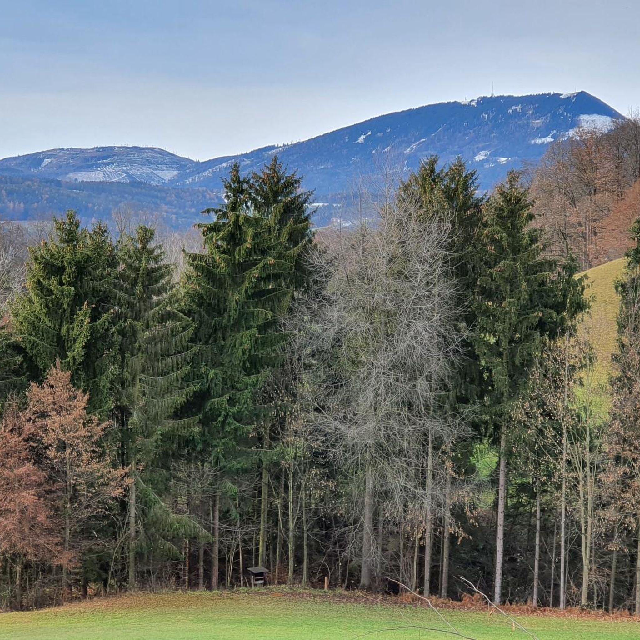
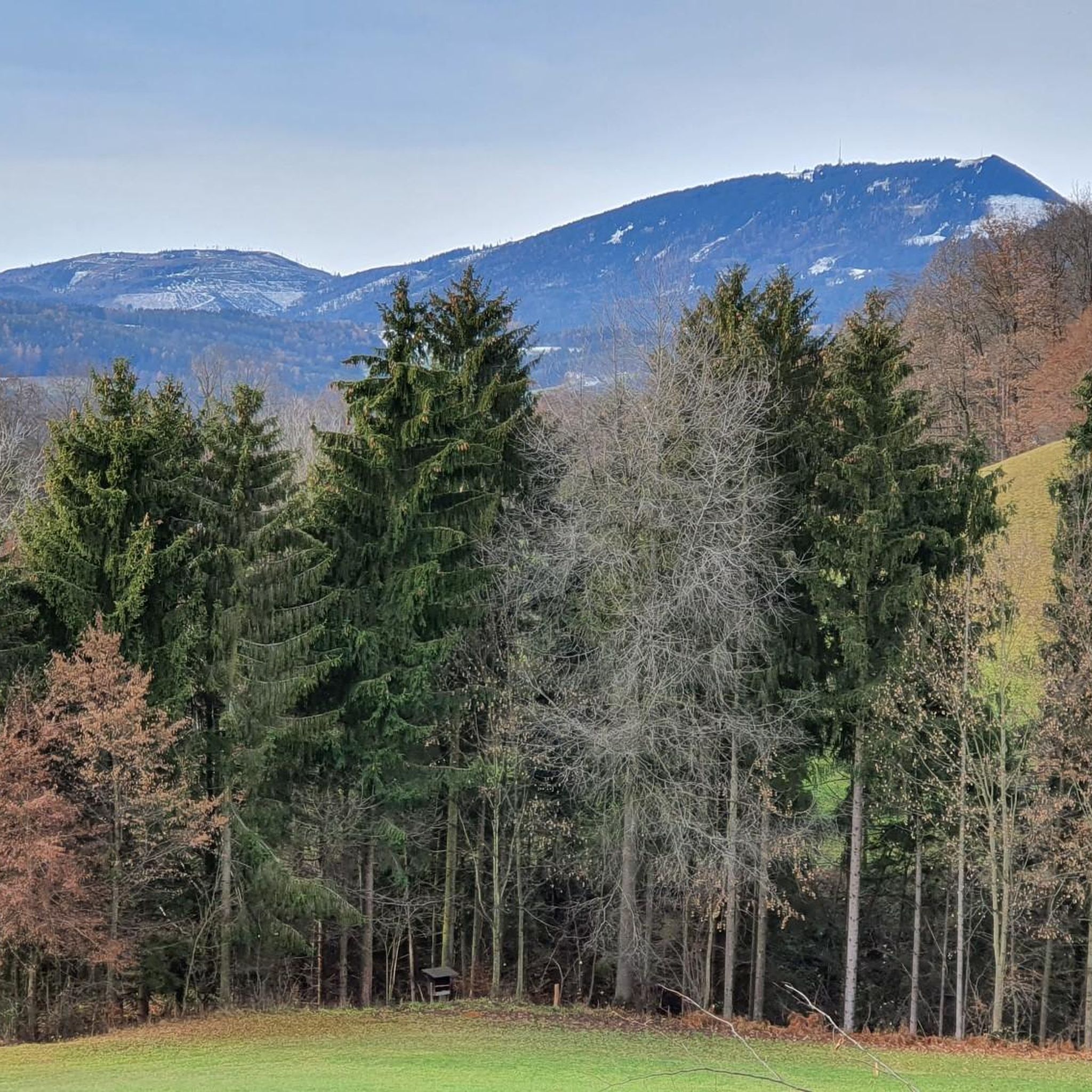
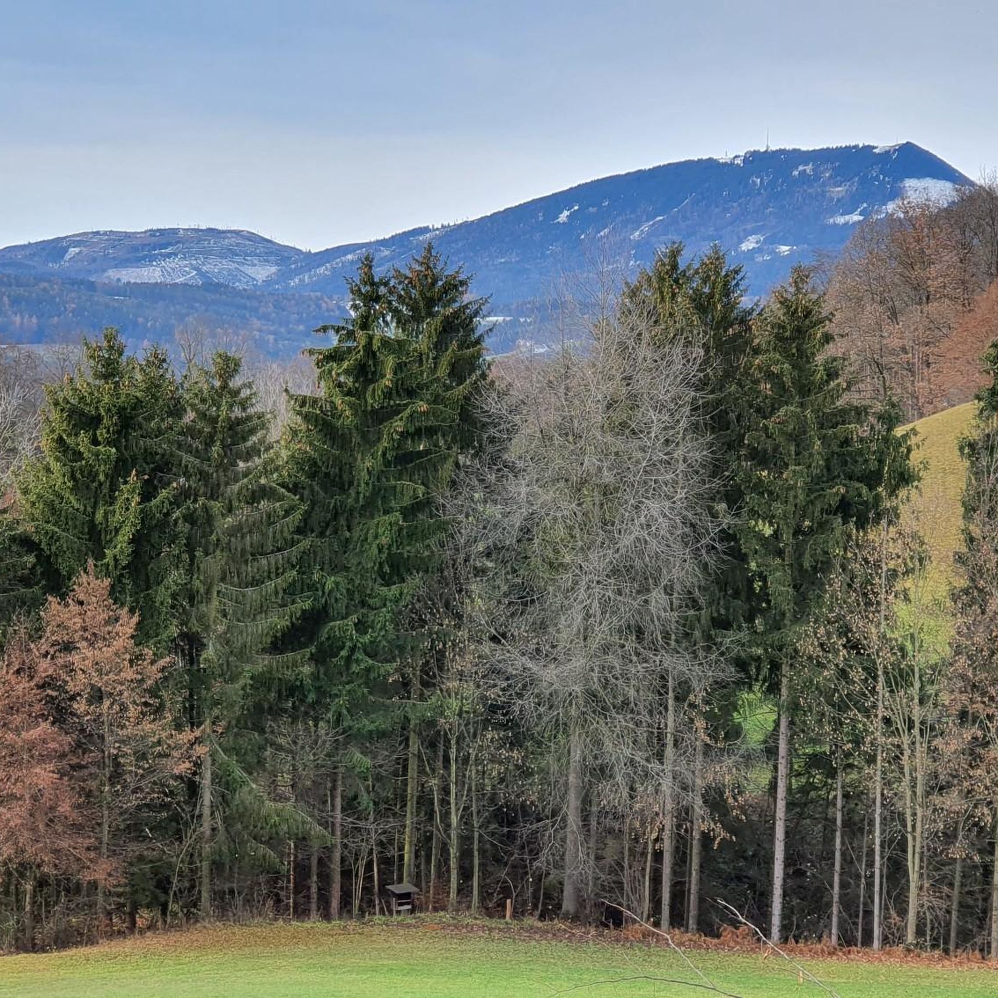
From the summit cross of the Hoher Zetz you have a beautiful view towards Schöckl, the Sommeralm with the Plankogel 🗻 and to the east of the Kulm and Burgenland 🌞 On very clear days all the way to Hungary 🌏 Since you are allowed to park at the Gschnaidter Kreuz at around 825 meters above sea level, it is also possible to stay there until sunset 🌄, as on the way back you can also choose forest paths for the descent, with the exception of the first hundred meters in altitude 🌜🦊
8
0

The high Zetz is an easily accessible mountain in the Weiz district. When we were there on a beautiful autumn day, it was very busy. There is a summit cross and a few opportunities to sit down (stones, meadow). View not completely clear due to trees.
2
0
Nice mountain that is easy to walk in winter. For the last piece you may need Grödel with ice cream. Great views in several directions. At the top the paths are a bit confusing, with barriers - but you can find your way around.
1
0

When climbing up, the last third part of the route is quite steep, at the top of the circular route the route is fenced off, so we missed the given direction of the Way of the Cross a bit and had to go over a Climb over with barbed wire and locked gate. The descent afterwards over a very beautiful piece of mixed forest to walk on. Be sure to stop at the Gasthaus Windhaber (very good food and friendly) about 4 hours. hiked. In my opinion, the hike is wonderful.
1
0

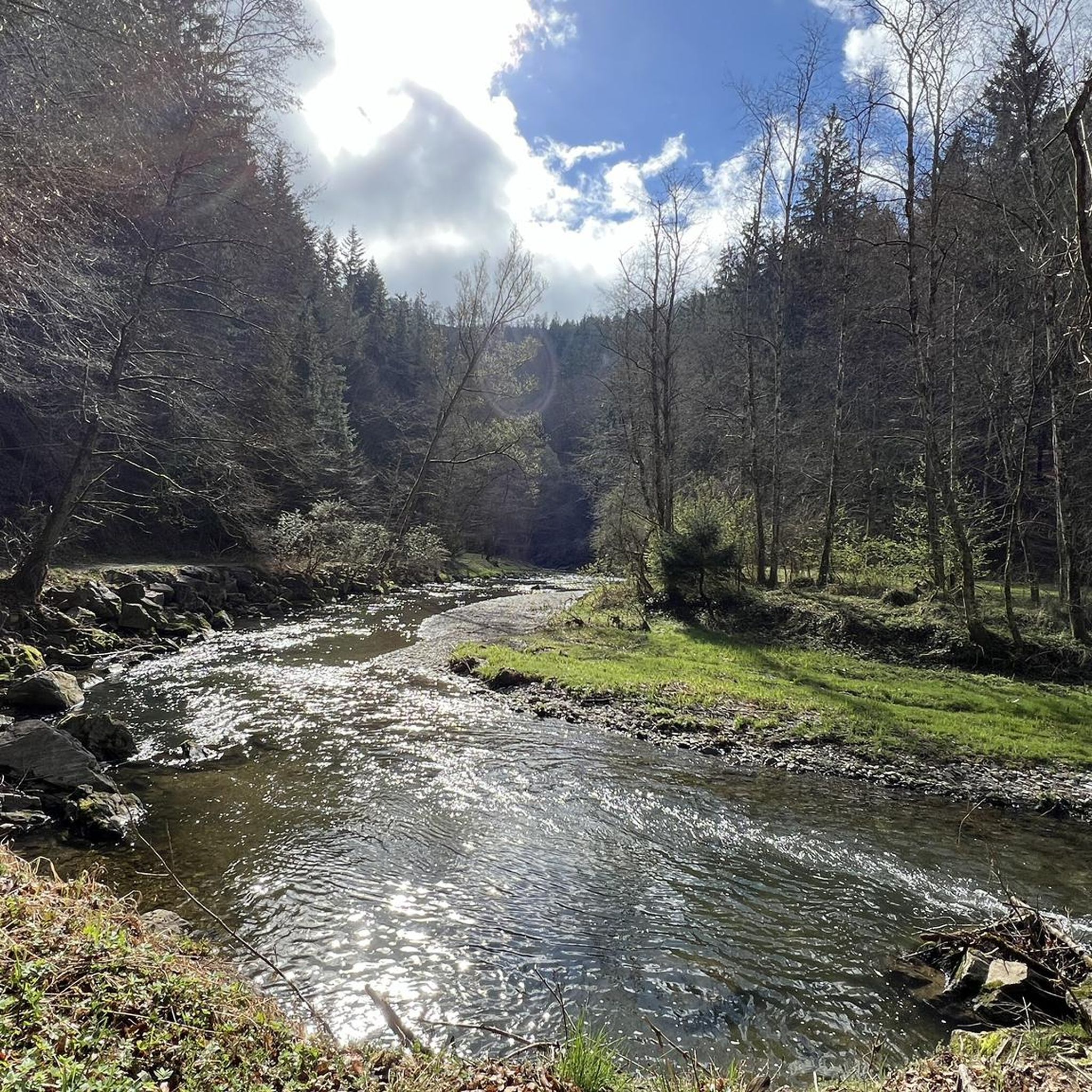
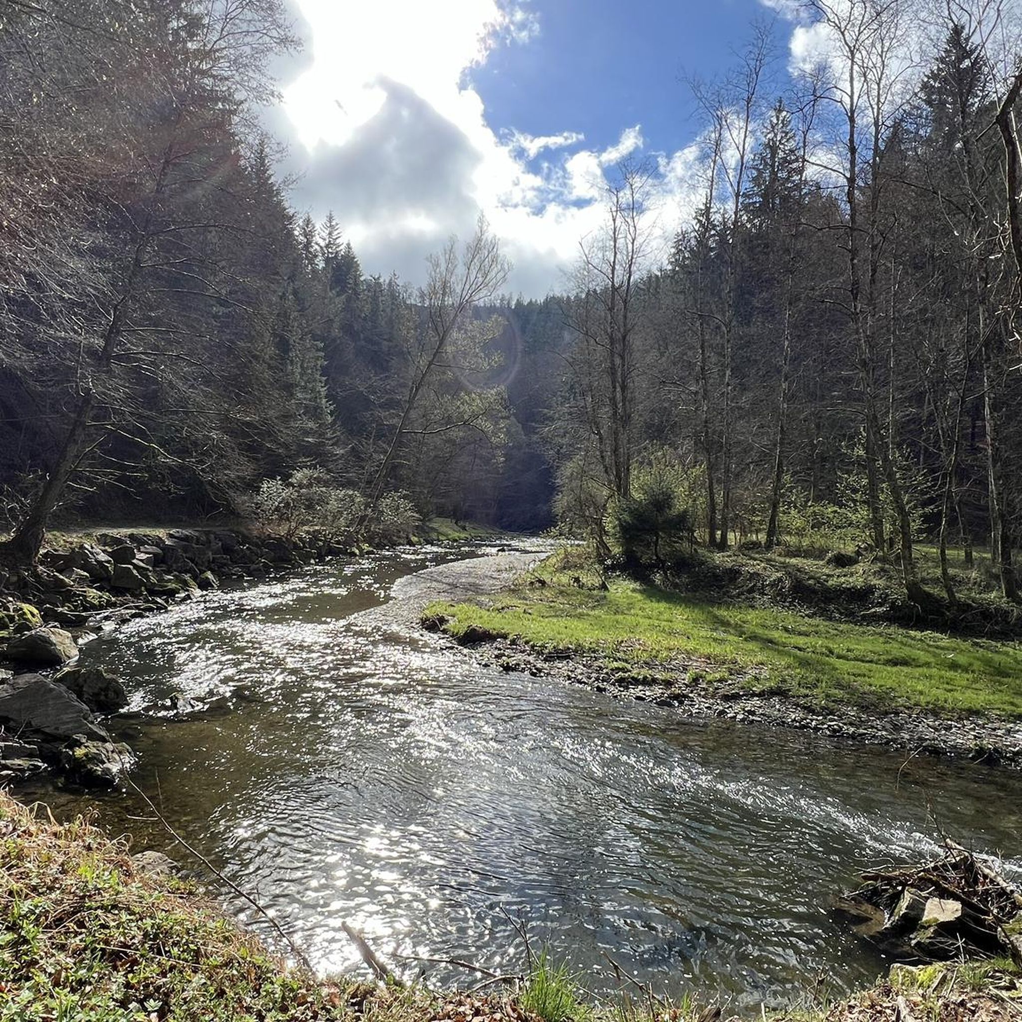
A wildly romantic river valley with an exciting and beautiful hiking route, especially cool on hot days thanks to the secluded woodland...
2
1
ミッタードルフ・アン・デア・ラーブでのの人気ルート
ミッタードルフ・アン・デア・ラーブでのの人気観光スポット

komootモバイルアプリでインスピレーションを得よう


さらに探索
これらのガイドで、最高の洞窟を探す範囲を広げましょうミッタードルフ・アン・デア・ラーブでの:
