ルート

プランナー

機能

アップデート

App

ログインまたはサインアップ

アプリを入手

ログインまたはサインアップ

ルート
Places to see
Mountain passes
オーストリア
スティリア
Hochsteiermark
レオーベン

カンマーン・イム・リーシンタル

カンマーン・イム・リーシンタルの峠・トップ5

風景を楽しんだり、上りや下りを満喫したり、峠には楽しみ方がたくさんあります。カンマーン・イム・リーシンタルの素晴らしい峠の一覧を参照して、思い出に残るアドベンチャーに出かけましょう。コミュニティのメンバーがコミュニティのために投稿した峠のハイライトは、他のユーザーが実際におすすめする情報なので、どれも信頼できるものです。気に入った峠にさっそく向かってみましょう。

最終更新日: 8月 31, 2026

Rösselhals

ハイライト • 山道

From the "Präbichler Hof" we walk along the marked path through the Grübl upwards and over several steep steps to the Rösselhals (1770m), from here we continue in a southerly direction over the uphill ridge to the so-called "Stiege"

翻訳者 Google •

役立つ情報

によるものです

ここでのハイキングを見る

スマートフォンに送信

保存

The most famous mountain is the Eisenerzer Reichenstein at 2165 m above sea level. The main ridge of the Eisenerzer Alps has a length of approx. 60 kilometers.

翻訳者 Google •

役立つ情報

によるものです

保存

今すぐサインアップして、こんな場所を発見しよう

最高のシングルトラック、ピーク、その他のエキサイティングなアウトドアスポットのおすすめを受け取ろう。

無料新規登録

プレービッヒル東側

ハイライト (セグメント) • 山道

Traffic is limited on weekends. Quite tolerable as an increase, as the road here is two-lane most of the time.

翻訳者 Google •

役立つ情報

によるものです

保存

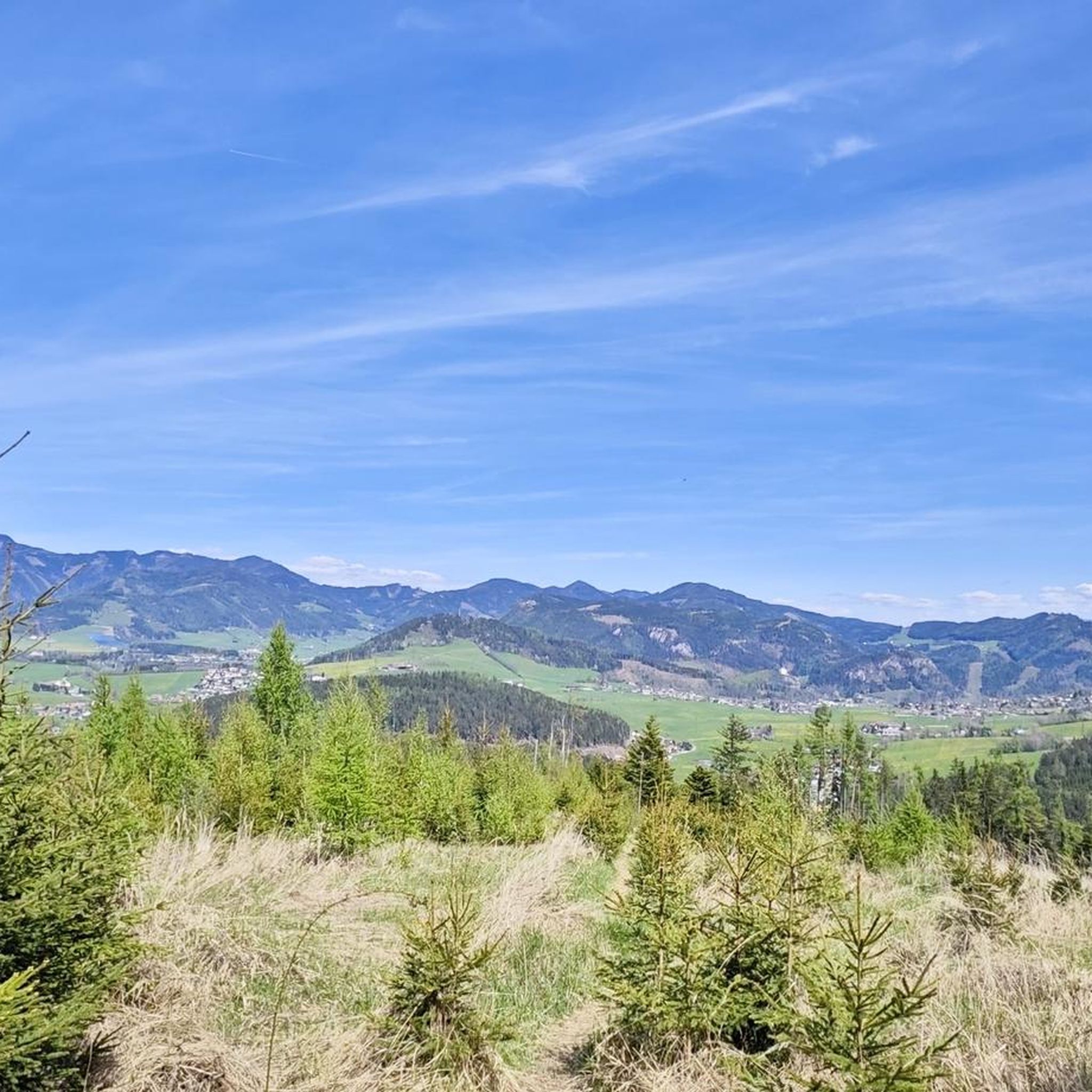
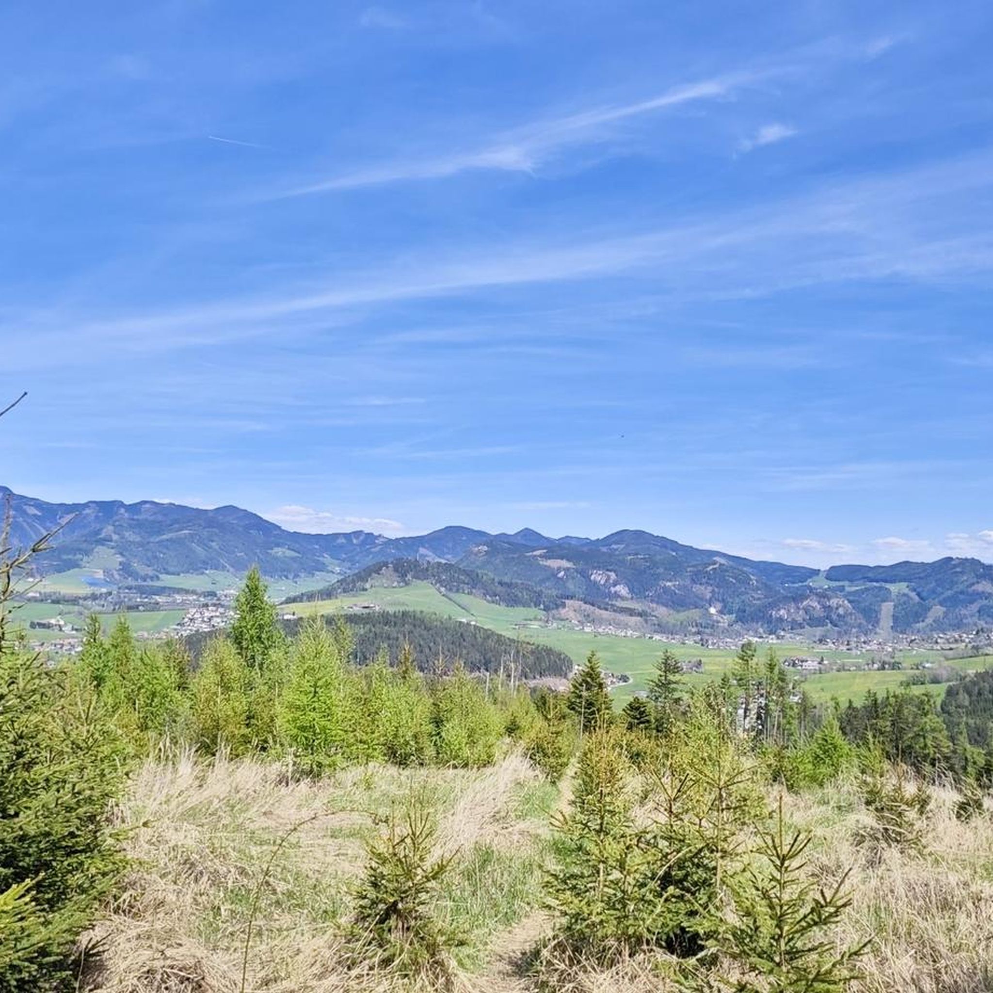
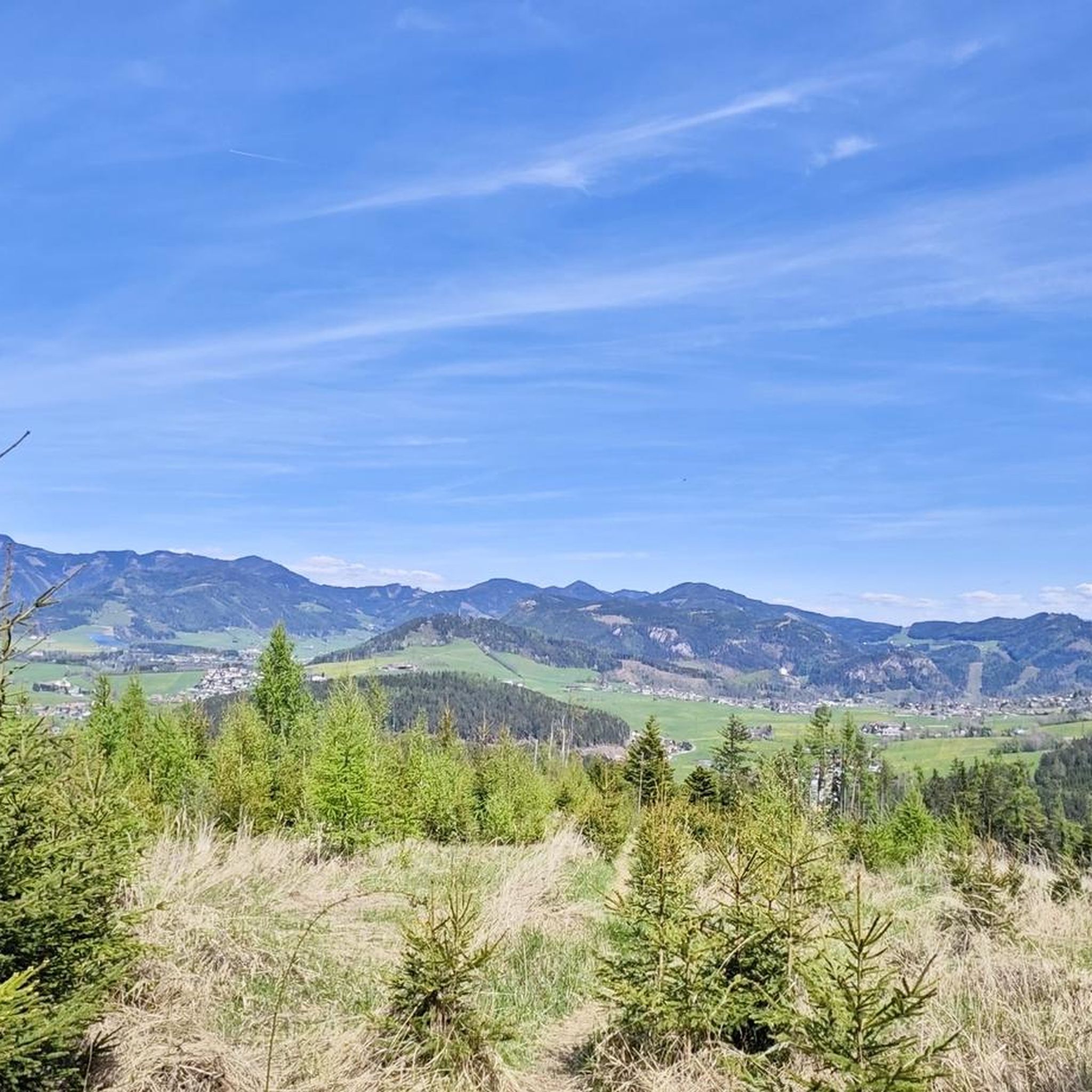
When you climb the hiking trail to the Rösselhals, you already have a wonderful view of the Polster, DAC peak, Hochturm and the mountains of the Hochschwab massif behind them.

翻訳者 Google •

役立つ情報

によるものです

保存

ニーダートール

ハイライト • 山道

ニダートゥルは標高1652mにあります。シャッファラルムからの道はあまり人が通らず、草木が生い茂っています。そのため、標識に注意し、濡れた足に備えてください。

翻訳を表示中

役立つ情報

によるものです

保存

無料でサインアップして、さらに多くの山道を発見しましょう カンマーン・イム・リーシンタルでの。

無料新規登録

すでにアカウントをお持ちですか?

無料アカウントで今日から始めよう

次の冒険が待っています。

ログインまたは登録
カンマーン・イム・リーシンタル周辺で人気

カンマーン・イム・リーシンタルのロードバイクルート

カンマーン・イム・リーシンタルでのサイクリング

カンマーン・イム・リーシンタルでのハイキング

カンマーン・イム・リーシンタルでの登山&山歩き

カンマーン・イム・リーシンタルのランニングコース

カンマーン・イム・リーシンタルのMTBトレイル

カンマーン・イム・リーシンタルでののグラベルライド

コミュニティからのヒント

Christoph
7月 18, 2026, Niedertörl

ニダートゥルは標高1652mにあります。シャッファラルムからの道はあまり人が通らず、草木が生い茂っています。そのため、標識に注意し、濡れた足に備えてください。

Google翻訳による翻訳

0

0

The view from the Grete Klinger Steig is outstanding!

Google翻訳による翻訳

0

0

Nice climb! 10% with very good asphalt.

Google翻訳による翻訳

0

0

The Präbichl is a challenge from both sides. But you should always keep an eye on the weather, I had stiff fingers at the end of June because it was 2 degrees at the top and 18 degrees in the valley.

Google翻訳による翻訳

0

0

Traffic is limited on weekends. Quite tolerable as an increase, as the road here is two-lane most of the time.

Google翻訳による翻訳

0

0

A little bonus when hiking is the Rössel at 1855 m, unmarked turn-off - but a nice narrow path to the summit without a summit cross. The summit can be reached in 10-15 minutes with a wonderful view of the Erzberg and the surrounding mountains.

Google翻訳による翻訳

3

0

When you climb the hiking trail to the Rösselhals, you already have a wonderful view of the Polster, DAC peak, Hochturm and the mountains of the Hochschwab massif behind them.

Google翻訳による翻訳

4

0

Beautiful view of the Eisenerz Alps, which can have a patch or two of snow well into the summer. The route itself (between Trabocher See and St. Peter-Freienstein) has very little traffic and is therefore pleasant for all types of cyclists.

Google翻訳による翻訳

1

1

カンマーン・イム・リーシンタルでのの人気ルート

カンマーン・イム・リーシンタルのロードバイクルート

カンマーン・イム・リーシンタルでのの人気観光スポット

Places to see

Store rating

komootモバイルアプリでインスピレーションを得よう

無料のkomootアカウントがあれば、無限のアウトドアコースを簡単に見つけてカスタマイズし、ナビで案内できます。

または

今すぐkomootに参加しよう

Store rating

さらに探索

これらのガイドでさらに壮大な山道を見てみましょうカンマーン・イム・リーシンタルでの:

WaldamSchoberpaßアイゼンエルツTrofaiachラートマーカルヴァングVordernbergシュタイアーマルク州のモーテルン

近くのアドベンチャーガイド

レオーベンでやるべきこと

background

新しいピークを征服する準備をしよう

無料でサインアップ

探検する
ルートルートプランナー機能バウチャーを利用ハイキングMTBトレイルロードバイクルートバイクパッキングサイトマップ
アプリをダウンロード
SNSでフォローする

© komoot GmbH

プライバシーポリシー