アルゼンチンの峠・トップ12
風景を楽しんだり、上りや下りを満喫したり、峠には楽しみ方がたくさんあります。アルゼンチンの素晴らしい峠の一覧を参照して、思い出に残るアドベンチャーに出かけましょう。コミュニティのメンバーがコミュニティのために投稿した峠のハイライトは、他のユーザーが実際におすすめする情報なので、どれも信頼できるものです。気に入った峠にさっそく向かってみましょう。
最終更新日: 8月 31, 2026
RN40号線とRN231号線の交差点
ハイライト • トレイル
翻訳者 Google •
役立つ情報 は

クエスタ・デ・リパン峠(4,170m)
ハイライト (セグメント) • 山道
翻訳者 Google •
役立つ情報 は

今すぐサインアップして、こんな場所を発見しよう
最高のシングルトラック、ピーク、その他のエキサイティングなアウトドアスポットのおすすめを受け取ろう。
無料新規登録
クエスタ・デ・ウアコ
ハイライト (セグメント) • 山道
A very beautiful route!
翻訳者 Google •
役立つ情報 は

ラ・オベジャ峠
ハイライト • 山道
翻訳者 Google •
役立つ情報 は

アブラ・デル・アカイ峠 – アルゼンチンで最も標高の高い道路
ハイライト (セグメント) • 山道
翻訳者 Google •
役立つ情報 は

Caracoles de Villavicencio
ハイライト (セグメント) • トレイル
役立つ情報 は

パソ・ペウエンチェ アンデス越え
ハイライト (セグメント) • 山道
役立つ情報 は

Cuesta del Obispo
ハイライト (セグメント) • 山道
役立つ情報 は
Cuesta de La Chilca
ハイライト (セグメント) • 山道
役立つ情報 は
ウエムル峠から見える南パタゴニア氷原の景色
ハイライト • 展望台
翻訳者 Google •
役立つ情報 は

無料でサインアップして、さらに多くの山道を発見しましょう アルゼンチンでの。
無料新規登録
すでにアカウントをお持ちですか?




コミュニティからのヒント

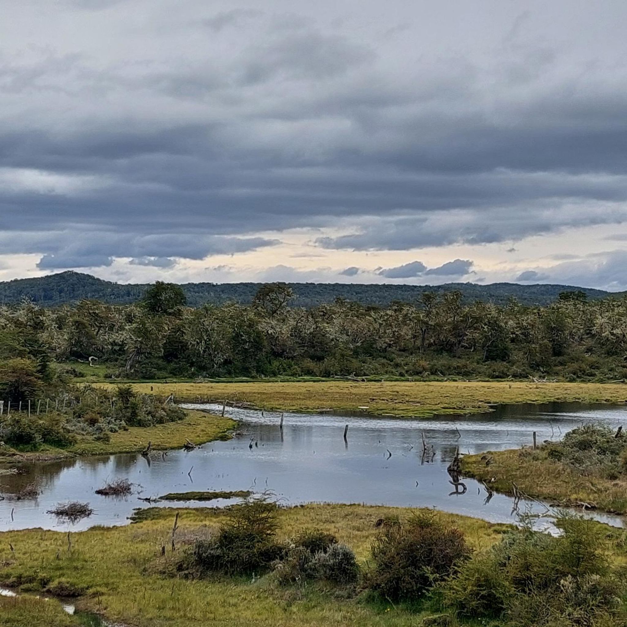
The Paso de la Oveja (Sheep Pass) is a high mountain pass that connects Laguna del Caminante (Walker's Lagoon) with the Cañadón de la Oveja (Sheep Canyon) in Tierra del Fuego National Park. It marks the change of slope on the return to Ushuaia, offering views of the mountains that enclose the canyon. The rocky landscape is impressive but makes progress more challenging.
0
0

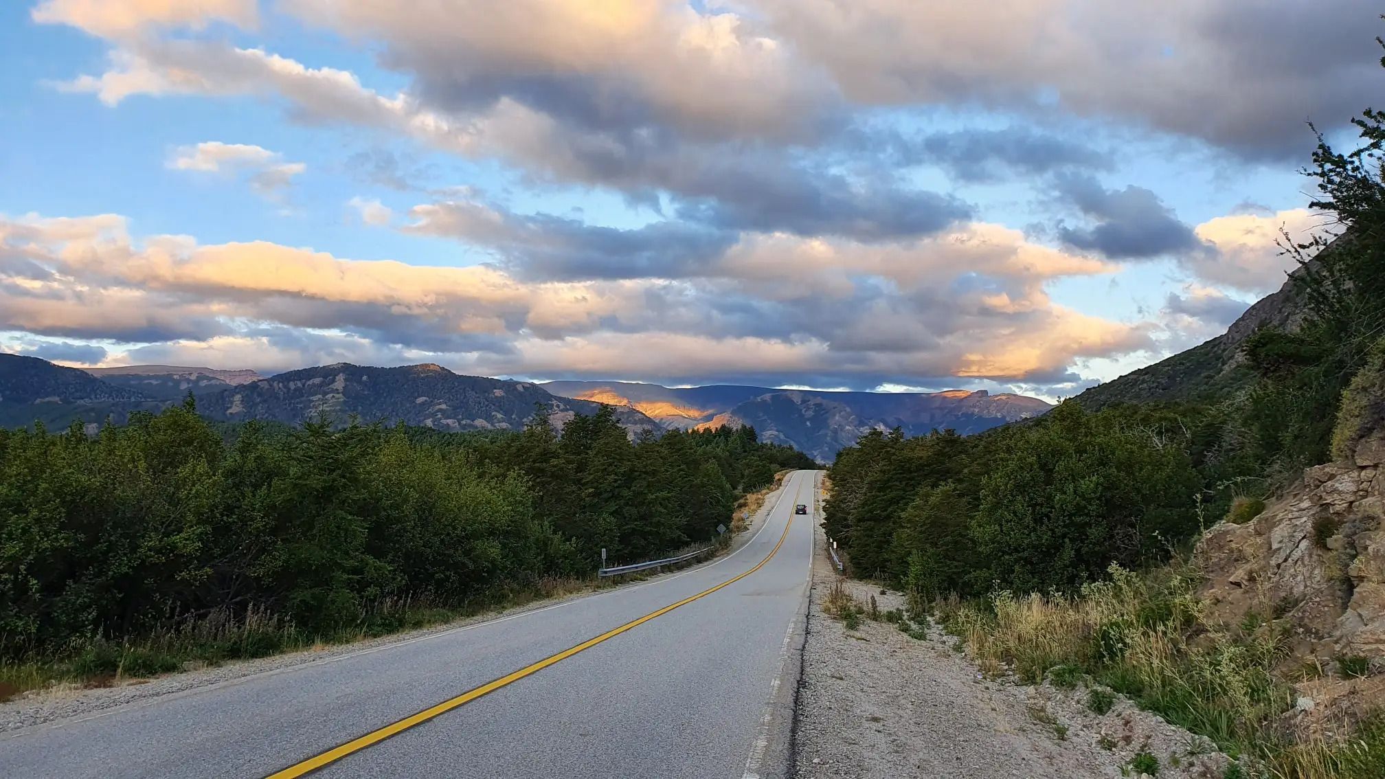
Completed in January 2025, the entire road is paved. No difficulties to report. We passed after heavy rain, teams were working to remove stones and earth. A very beautiful route!
1
0

Great view! Just before this pass you should take a break to eat and rest in order to be prepared for the steep descent that follows.
1
0

The Caracoles de Villavicencio are the path to follow to reach the Paramillos Cross. It was used in the past as a step to Chile. Today is an unmissable journey that is also known as "the 365 curves road." In this tour is El Balcón, a natural viewpoint from which you can see the highest peaks of Los Andes such as the Tupungato (6,800m), the Mercedary (6,770 m) and the Aconcagua (6,959 m). It is a picturesque road, also called "the one-year route," which covers the distance from Paso Caracoles to Cruz de Paramillos (3,200 m.s.n.m), being formerly the forced passage to Chile. It is currently an unmissable cornice trail, with an interesting flora and fauna and a spectacular view of the Cordillera. (Wikimapia)
1
0
Unpaved. Climbs steeply from Alto Huaco as the landscape changes from red rocks to yellow and beige. There is a mirador at the top. Punctuated by a small tunnel carved out of the rock and ending overlooking the reservoir (Embalse Los Cauquenes).
0
0
Amazing views from the top! Unpaved. Loose in places. Many guardrails have eroded away so be careful if you're headed down!
0
0
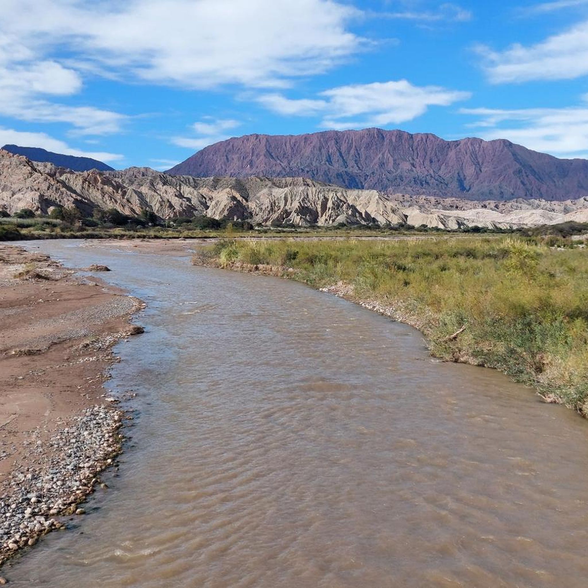
The Cuesta del Obispo is a zigzagging and steep section of Provincial Route 33, located between the Maray area of the Escoipe ravine and the Piedra del Molino (3348 ), in the province of Salta, north of the Argentine Republic, connecting the valley of Lerma with the high Calchaquí valley. (Wikipedia) The climb is about 34km and 1630m of elevation gain (average 4.8% grade). There are no services and no water. As of 2023, it is unpaved.
1
0

In this part you can hardly see the signage, be careful not to get lost.
0
0

komootモバイルアプリでインスピレーションを得よう


