ランゲンローイスの天然記念物・トップ20
ランゲンローイスが誇る美しい風景を見てみたいなら、ランゲンローイスの素晴らしい天然記念物・トップ20
に行ってみましょう。あなたにぴったりの場所が見つかるよう、素晴らしい天然記念物を探索するために必要なすべての情報を集めました。次のアウトドアの冒険に出かける計画の参考にしましょう。
最終更新日: 10月 10, 2026
ブラウンスドルファー山のドナウ展望台
ハイライト • 展望台
翻訳者 Google •
役立つ情報 は

フィッシュワンダーヒルフェ・アルテンヴェルト
ハイライト • 構造物
翻訳者 Google •
役立つ情報 は

今すぐサインアップして、こんな場所を発見しよう
最高のシングルトラック、ピーク、その他のエキサイティングなアウトドアスポットのおすすめを受け取ろう。
シュタットパーク・クレムスの噴水
ハイライト • 記念碑
In the park you …
翻訳者 Google •
役立つ情報 は

Arche Noah植物園
ハイライト • 自然記念物
Tasks of the association are the preservation of …
翻訳者 Google •
役立つ情報 は

レスの段丘 - シュタイン・アン・デア・ドナウ
ハイライト • 自然記念物
翻訳者 Google •
役立つ情報 は

無料でサインアップして、さらに多くの自然記念物を発見しましょう ランゲンローイスでの。
すでにアカウントをお持ちですか?
無料アカウントで今日から始めよう
次の冒険が待っています。
ランゲンローイス周辺で人気
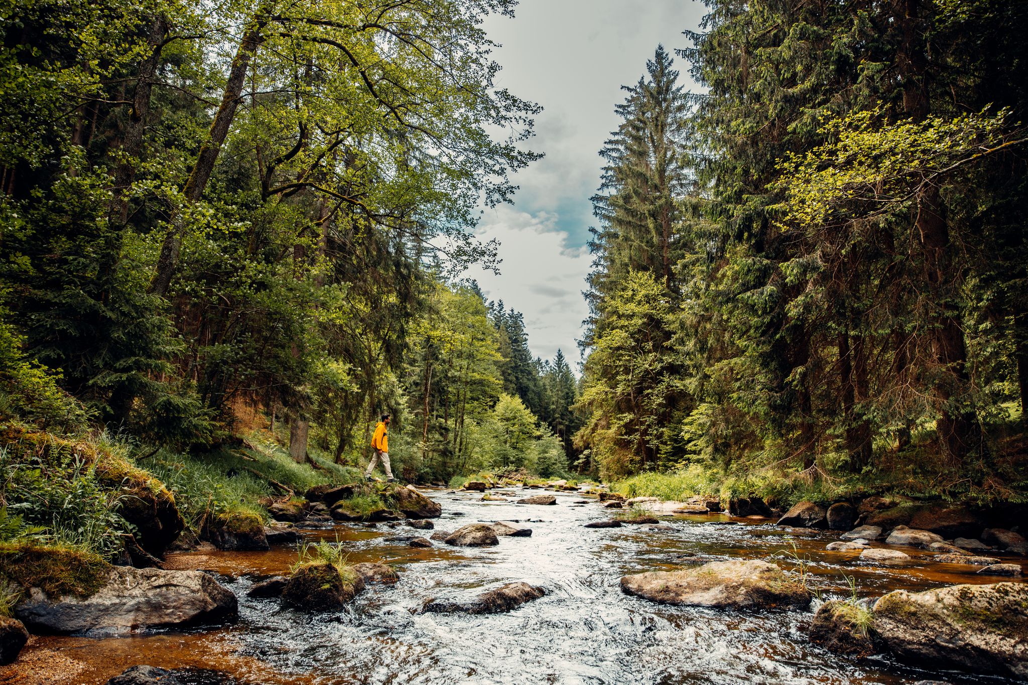
Cliffs, a gorge and vineyards – day hikes in the Waldviertel
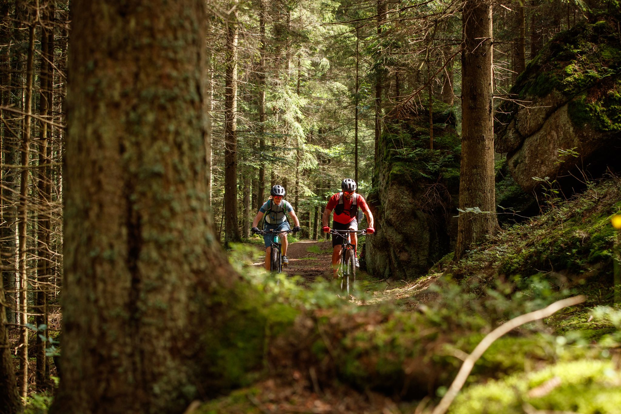
Between bizarre rocks and pristine forests – MTB in the Waldviertel
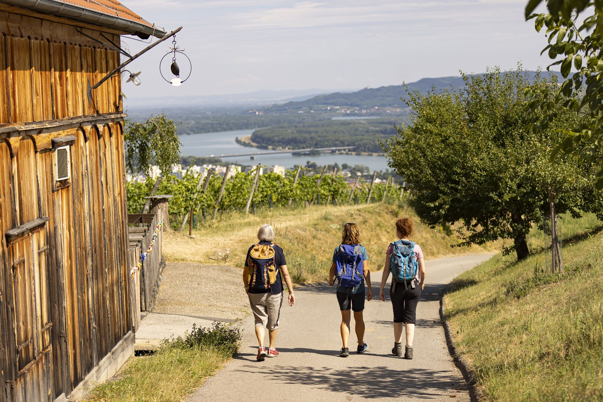
Into the valley of wine - Kremstal-Danube Long Distance Trail

Cycling Tours in Austria’s wine regions
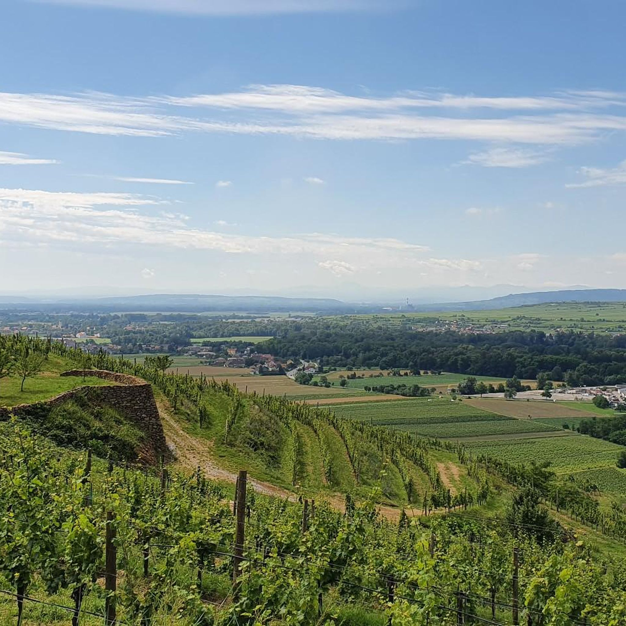
ランゲンローイスでのサイクリング
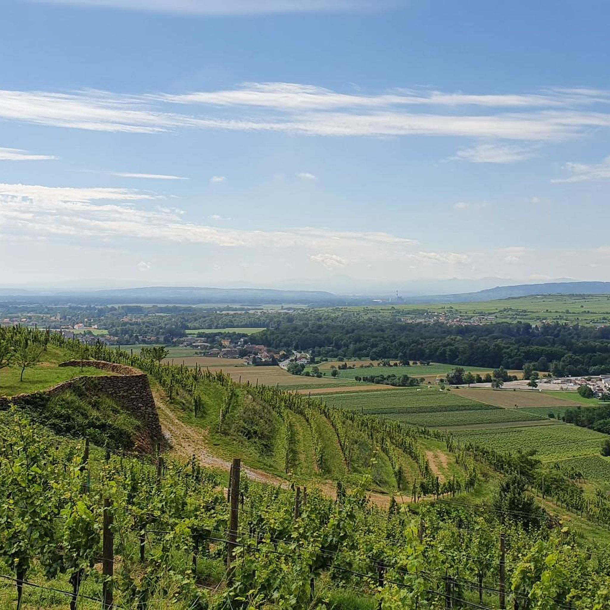
ランゲンローイスでのハイキング
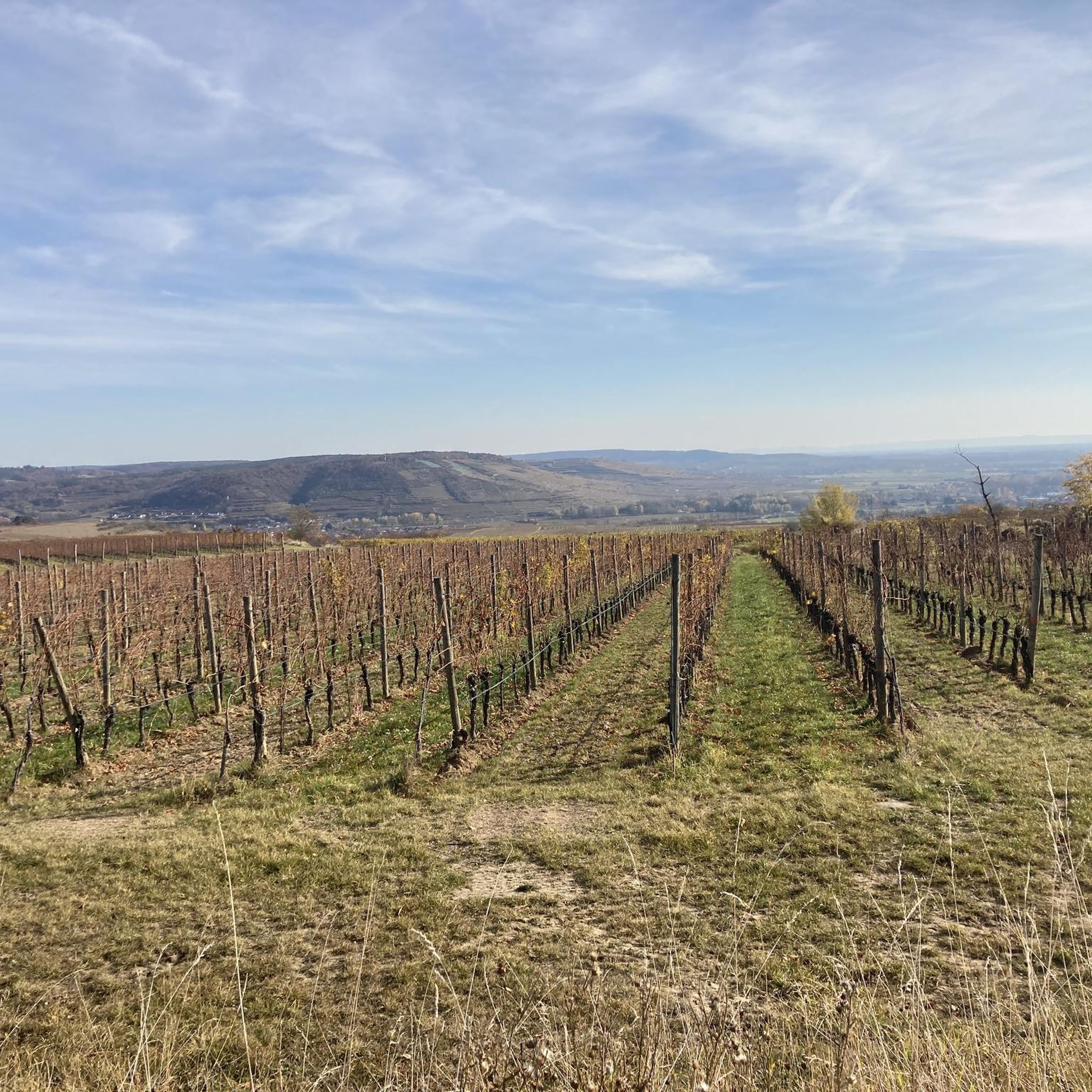
ランゲンローイスのMTBトレイル
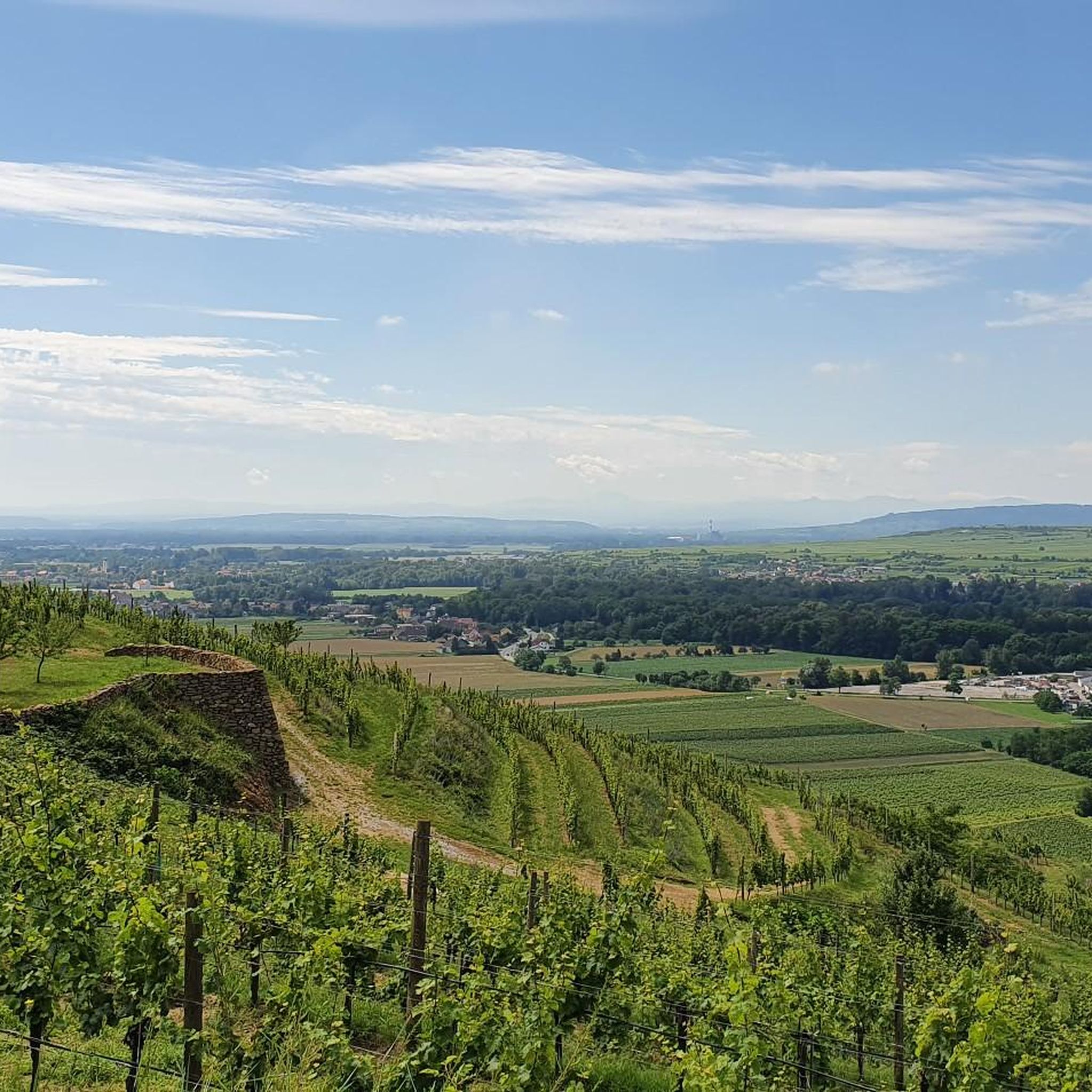
ランゲンローイスのロードバイクルート
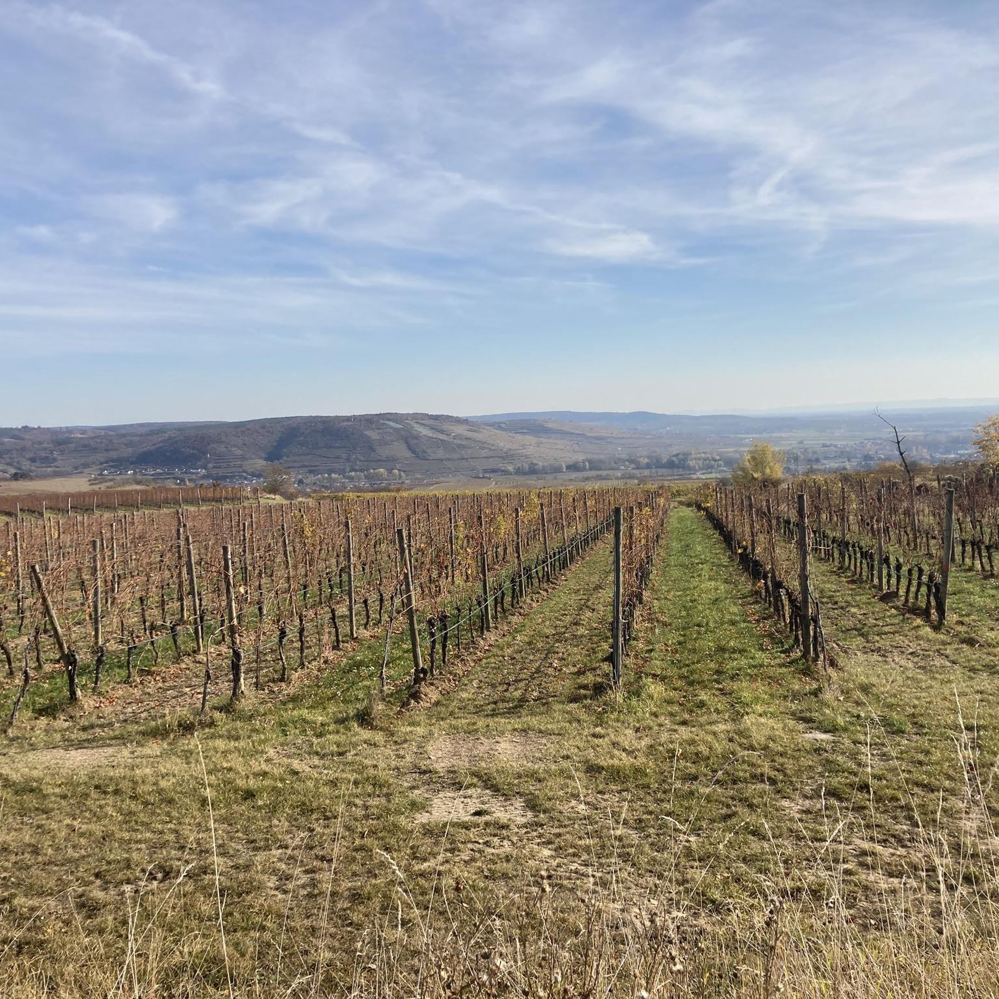
ランゲンローイスのランニングコース

ランゲンローイスでののグラベルライド


コミュニティからのヒント


庭の質問への回答 さらに詳しく知りたい方には、ガーデンツアーをお勧めします。ツアーでは、庭園の広大な品種の多様性を散策し、ほとんど忘れられた栽培植物に関する話に耳を傾け、その栽培と利用について貴重なことを学びます。個人的な庭の質問への回答を得て、ARCHE NOAHの種子政策に関する最新情報を知ることができます。そして、ARCHE NOAHが絶滅の危機に瀕した野菜、果物、穀物の品種の保存に捧げられた協会であるため、種子の繁殖もテーマとなります。栽培用の種子をどのように獲得するか、そしてARCHE NOAHの種子アーカイブに眠る5,500の栽培品種がどのような宝物であるか。ガーデンツアーで明らかにされます!
0
0
ARCHE NOAH Schaugarten 貴重な栽培植物の楽園を散策。 シルターンのARCHE NOAHシュタウガルトゥンでは、古く貴重で、ほとんど姿を消してしまった栽培植物が、ユニークなガーデン体験として結集されています。風味豊かで丈夫、そして絶滅の危機に瀕した野菜や果物の品種は、このようにして生き続けています。 その威厳ある背景には、バロック様式のパビリオンが目を引くシルターン城の城公園があります。この歴史的な環境には、野菜、ハーブ、穀物、果物、ベリーの珍しいものが詰まったカラフルな宝物がARCHE NOAHシュタウガルトゥンにあります。訪問者は、変化する栽培植物のあるカラフルなテーマの花壇を散策し、あらゆる色と形のニンジンを見て、芳香のあるカクテルトマト、シャキシャキしたレタス、マスタードキャベツを喜びます。 ARCHE NOAHシュタウガルトゥンの果樹園では、「ヒンベeraプフェル・フォン・ホロヴォウス」や「アナナスマリレ」のような珍しい名前の美味しい果物の品種を発見できます。
0
0

A beautiful wine-growing region crisscrossed by numerous hiking trails. Here, up to the Danube lookout point, you can hike the Great Tullnerfeld Circular Trail 475/675, the Waldviertel Long-Distance Hiking Trail 606, or the Mariazell Trail 06 – all at the same time!
0
0

At approximately 12.5 kilometers, the Altenwörth Fish Bypass is the longest of its kind in Austria and was built between 2019 and 2022 as part of the LIFE Network Danube Plus project. It allows fish such as huchen, schied, and zingel to bypass the Altenwörth Danube power plant and provides a continuous connection to the tributaries, the Kamp and Krems. The near-naturally designed bypass stream, with shallow water zones, gravel banks, and deadwood, also creates new habitats for numerous animal and plant species. The facility is also of interest to cyclists: Along the Danube and its adjacent waterways, natural paths offer views of renaturalized landscapes, small bays, and ecologically valuable rest areas. It is a successful example of how flood protection, energy use, and biodiversity can be reconciled.
3
0
One of Austria's longest fish bypasses was created between Altenwörth and Greifenstein as part of the "LIFE Network Danube Plus" project. The approximately 12.5-kilometer-long, near-naturally designed bypass stream allows fish such as huchen, zebrafish, and schied to migrate freely along the Danube and connects important habitats in the tributaries of the Kamp and Krems. Between 2019 and 2022, approximately 34 hectares of new aquatic areas were created, featuring shallow water zones, gravel banks, and deadwood areas – also for kingfishers, otters, and other protected species. In addition to its ecological benefits, the area is now also attractive to recreational travelers: Along the waterway corridor, natural banks, small bays, and viewpoints invite visitors to linger – a successful example of the combination of nature conservation, water development, and sustainable tourism.
2
0

ランゲンローイスでのの人気観光スポット

komootモバイルアプリでインスピレーションを得よう


さらに探索
これらのガイドで、最高の洞窟を探す範囲を広げましょうランゲンローイスでの:
