ラディスの峠・トップ8
風景を楽しんだり、上りや下りを満喫したり、峠には楽しみ方がたくさんあります。ラディスの素晴らしい峠の一覧を参照して、思い出に残るアドベンチャーに出かけましょう。コミュニティのメンバーがコミュニティのために投稿した峠のハイライトは、他のユーザーが実際におすすめする情報なので、どれも信頼できるものです。気に入った峠にさっそく向かってみましょう。
最終更新日: 9月 27, 2026
ピラーヘーエ
ハイライト • 展望台
翻訳者 Google •
役立つ情報 は

カウナータール氷河道路の登り
ハイライト (セグメント) • 山道
Just enjoy!!!
翻訳者 Google •
役立つ情報 は

今すぐサインアップして、こんな場所を発見しよう
最高のシングルトラック、ピーク、その他のエキサイティングなアウトドアスポットのおすすめを受け取ろう。
ScheidbahnとArrezjochの間のトレイル
ハイライト (セグメント) • トレイル
3kmの整備された走行路
翻訳を表示中
役立つ情報 は

フルグラーシャルテ
ハイライト • 山道
翻訳者 Google •
役立つ情報 は

ヴェンスを通ってピラーヘーエへ
ハイライト (セグメント) • 山道
翻訳者 Google •
役立つ情報 は

無料でサインアップして、さらに多くの山道を発見しましょう ラディスでの。
すでにアカウントをお持ちですか?
無料アカウントで今日から始めよう
次の冒険が待っています。
ラディス周辺で人気
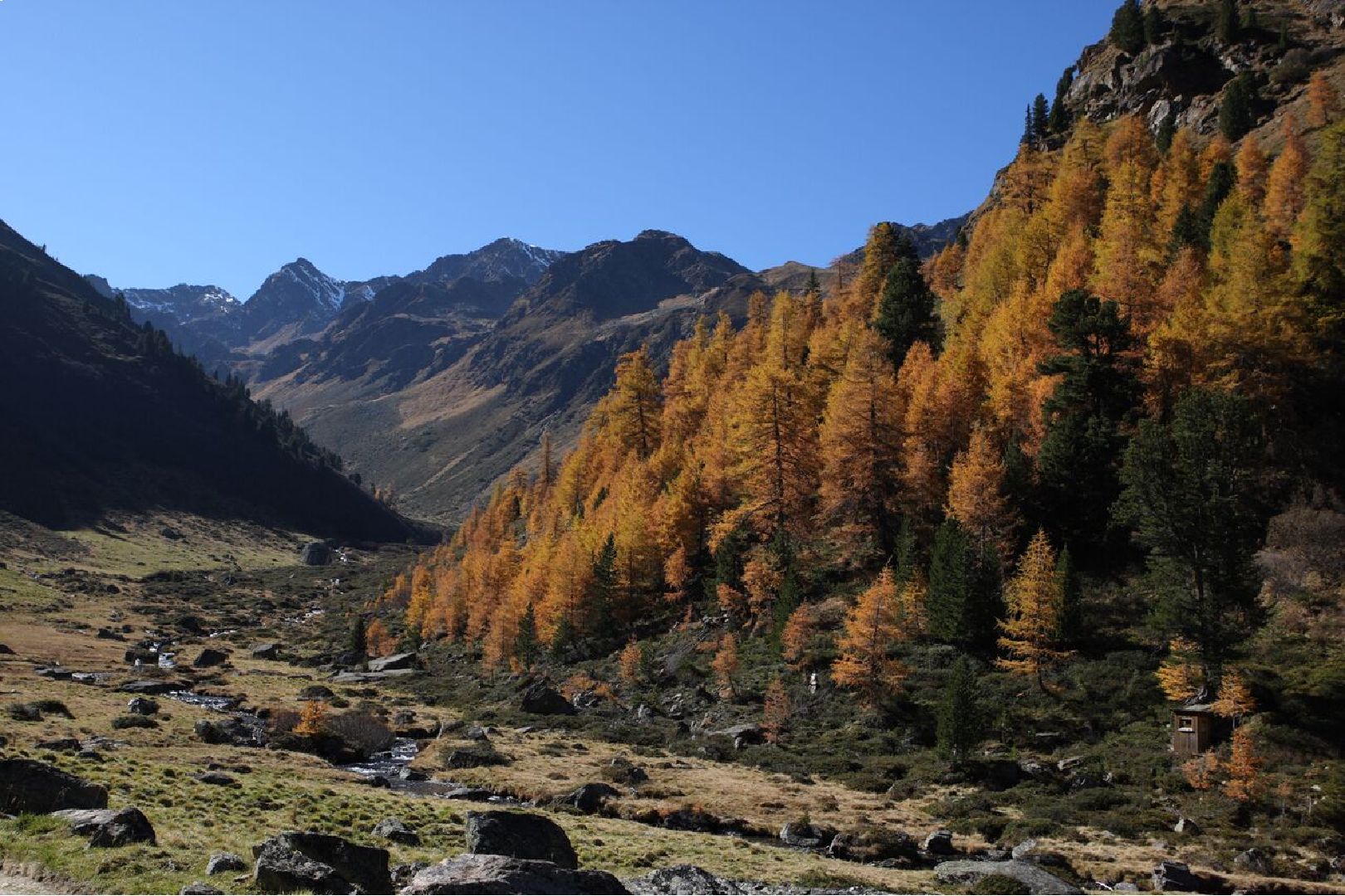
Golden trails – picturesque autumn hikes
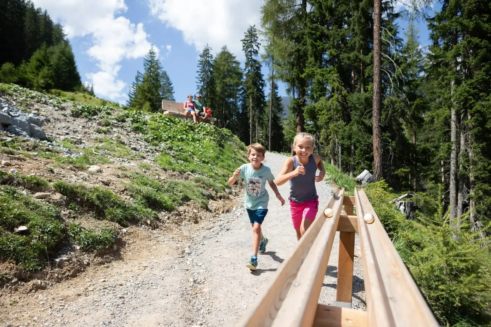
Family themed trails in Serfaus Fiss Ladis
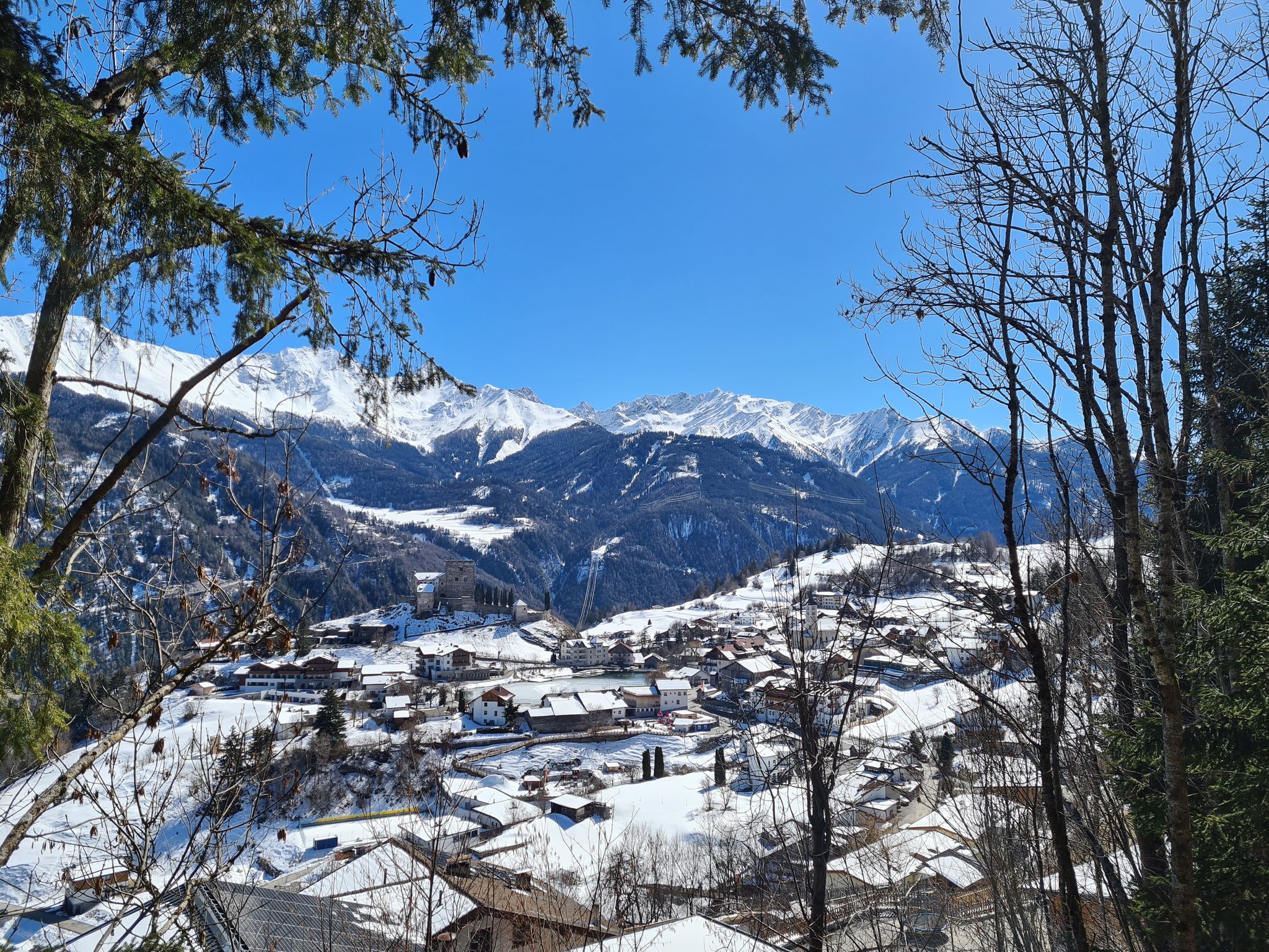
Winter hiking trails in Austria’s Serfaus-Fiss-Ladis region
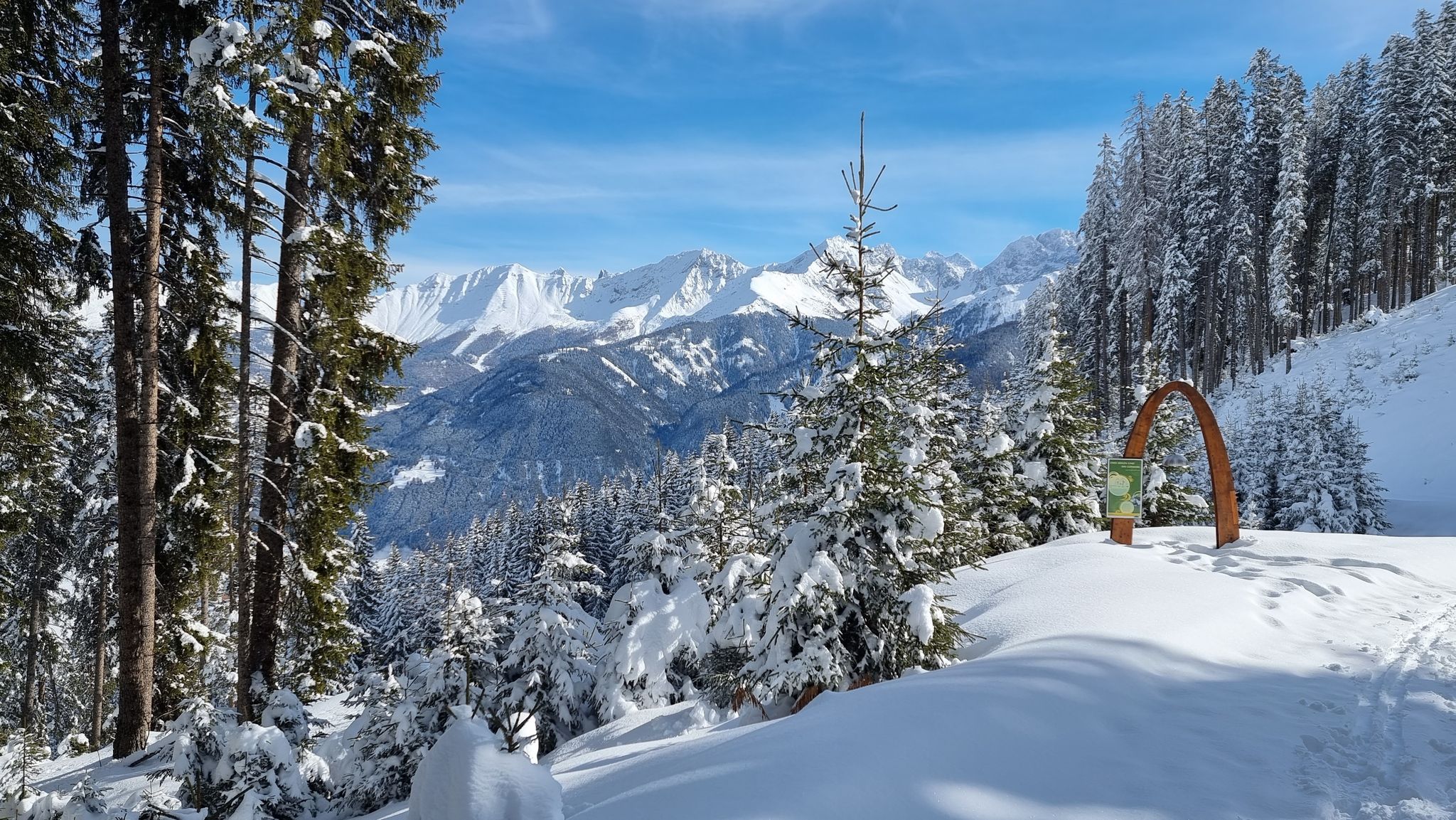
White and magical – winter hiking in Austria’s Serfaus-Fiss-Ladis
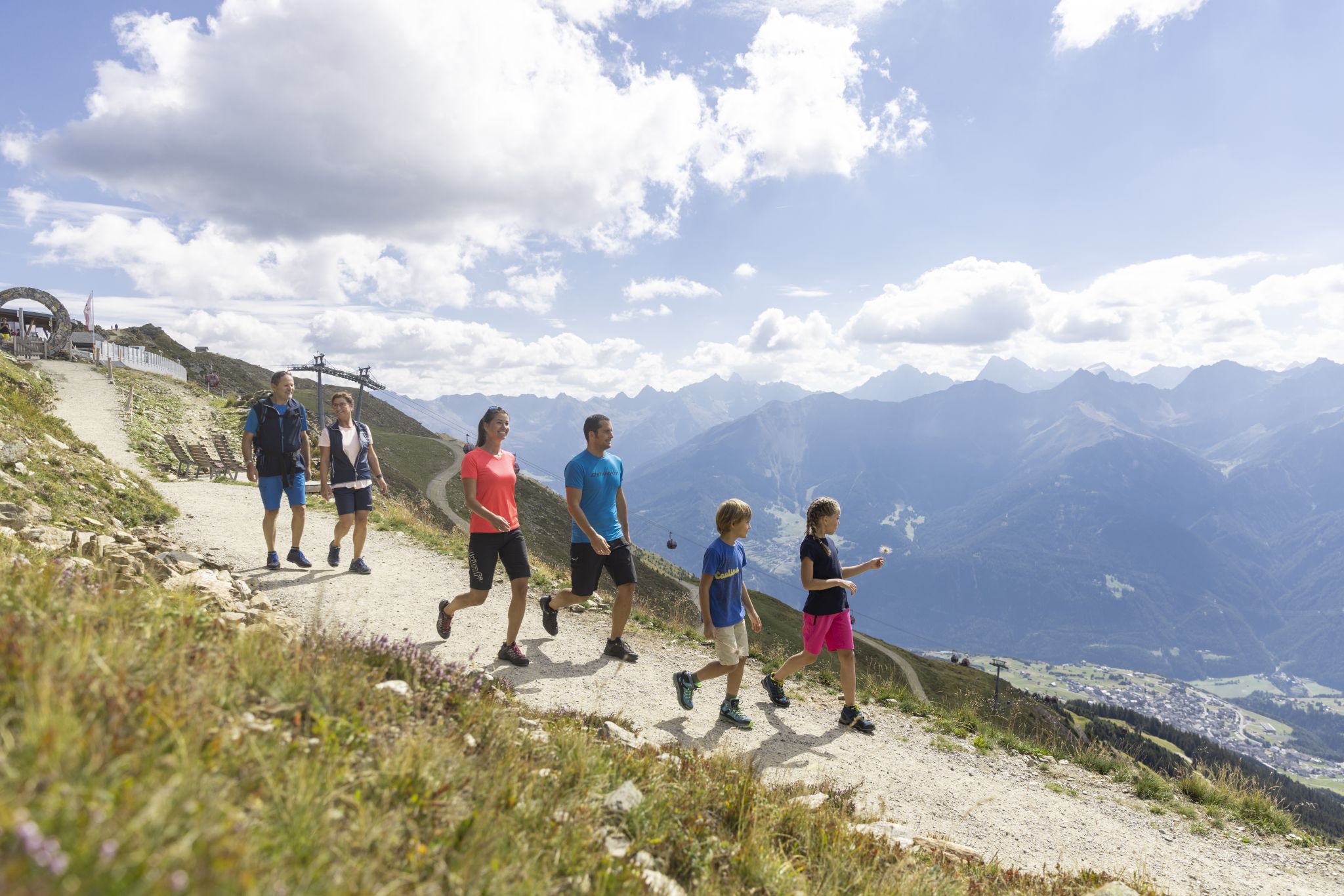
Familien-Entdeckungstouren – Gemeinsam & spielerisch unterwegs
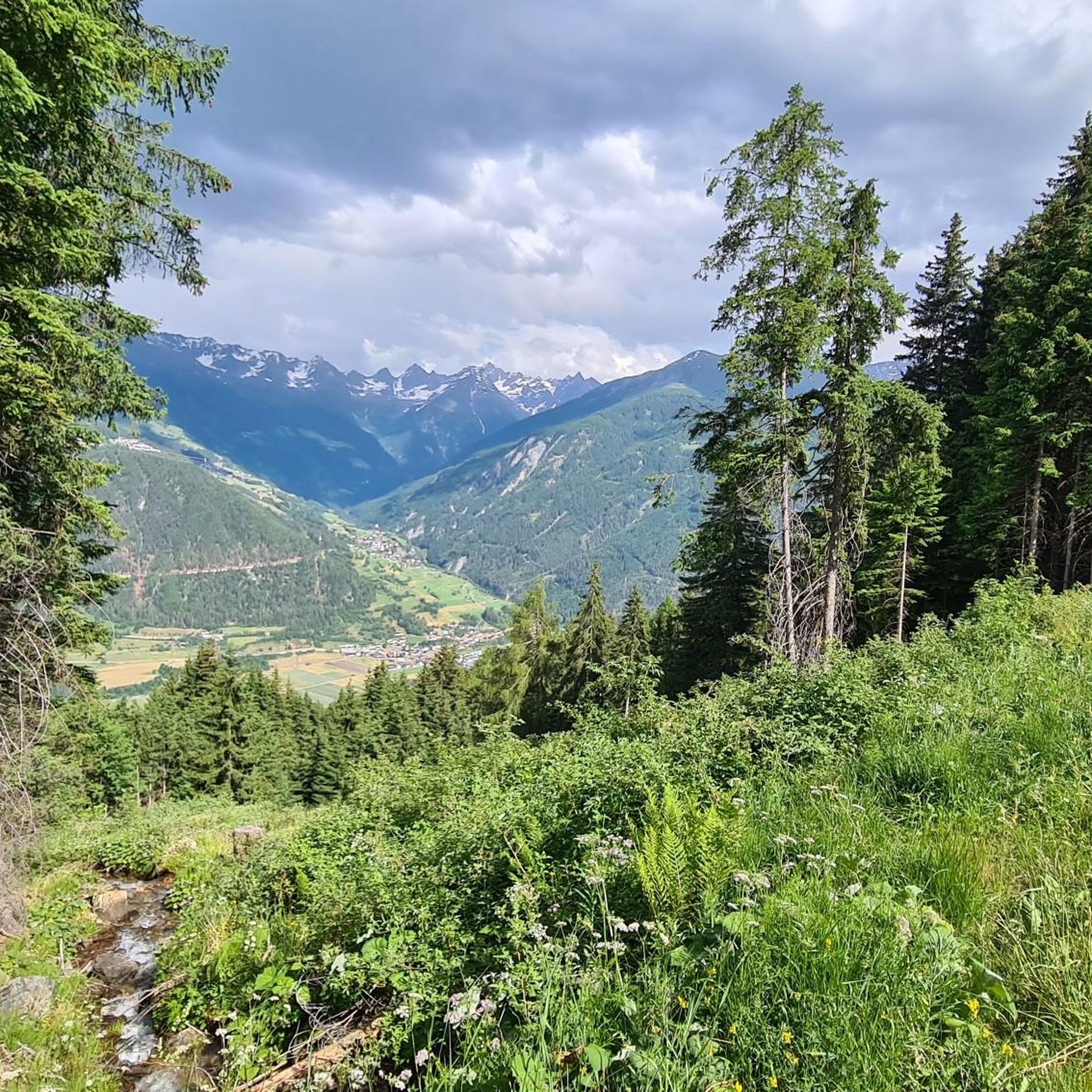
ラディスのロードバイクルート
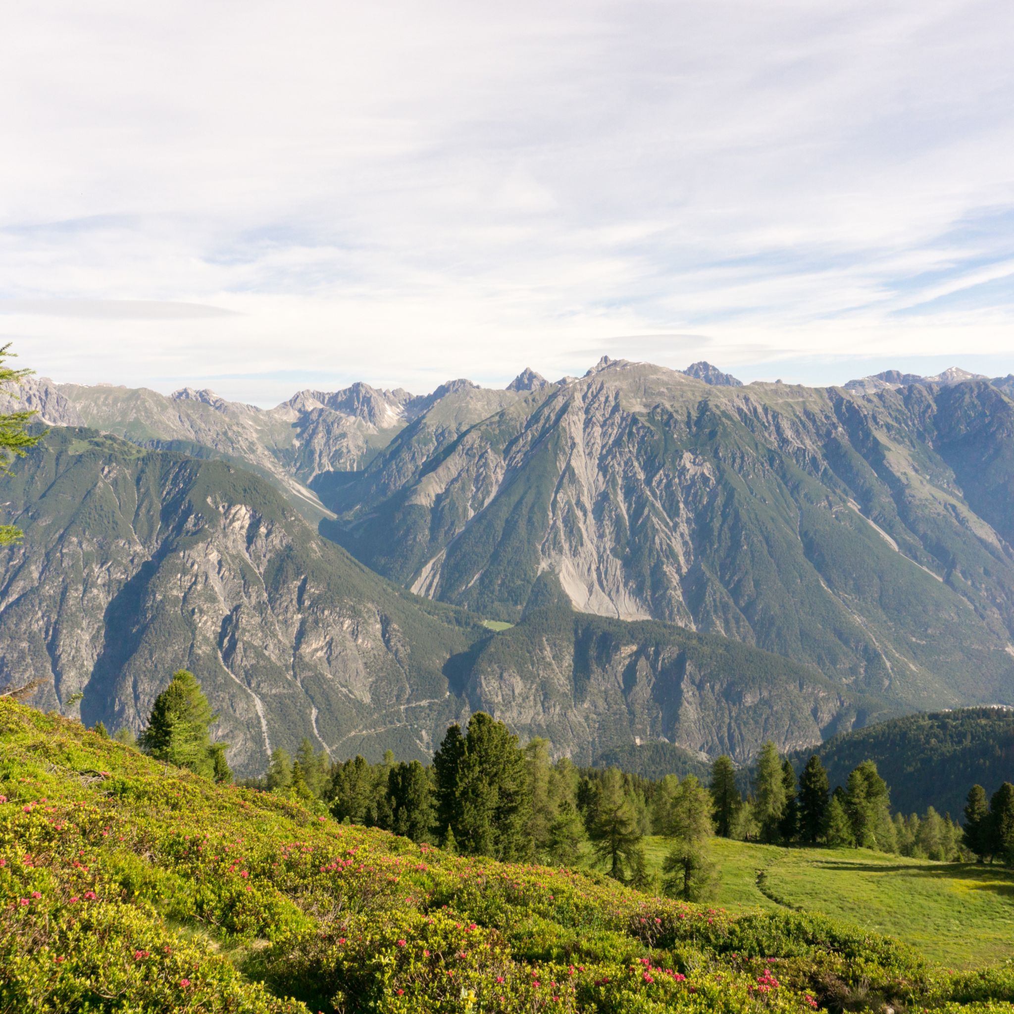
ラディスでのハイキング
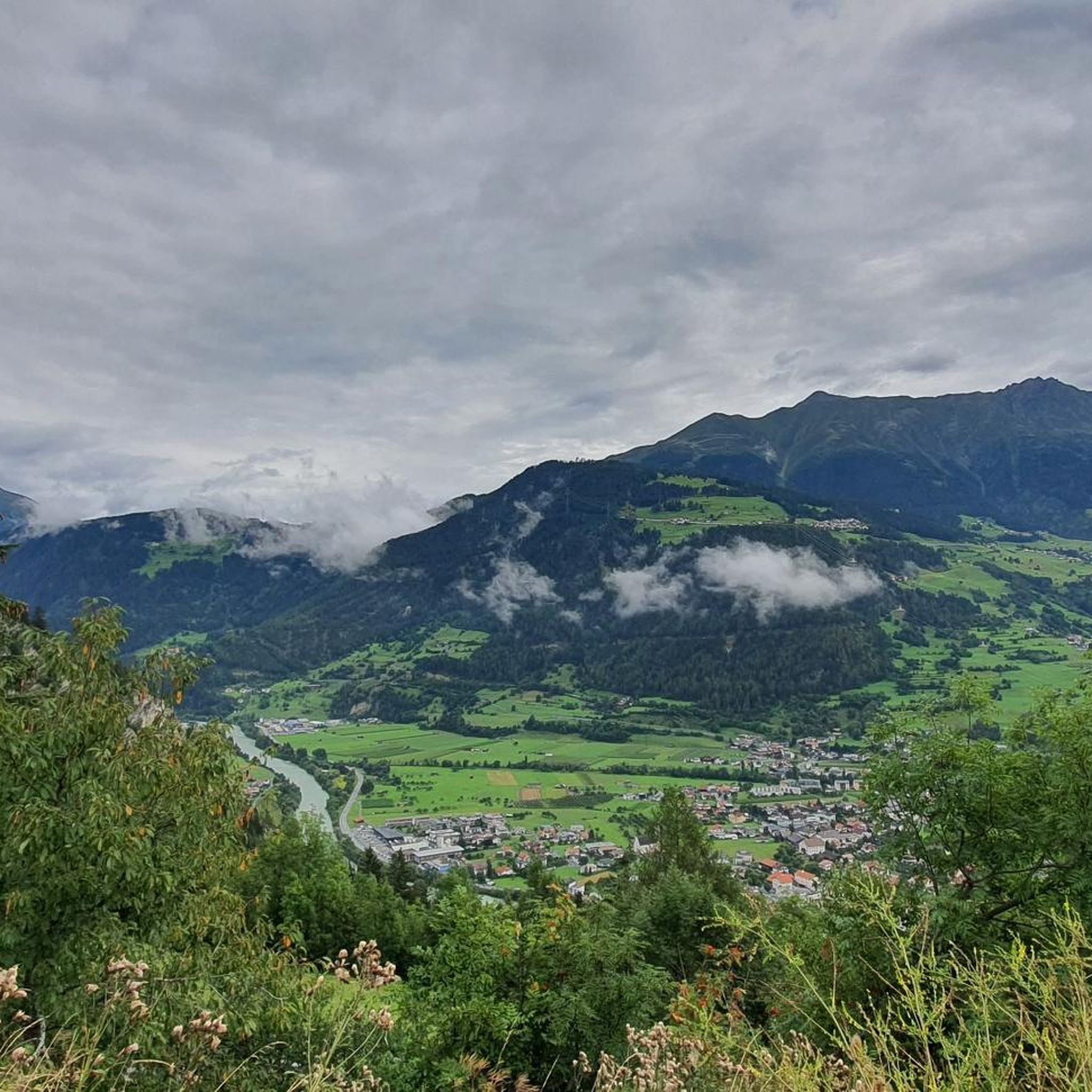
ラディスのMTBトレイル
ラディスでのサイクリング
ラディスのランニングコース
ラディスでのの他の冒険


コミュニティからのヒント

The viewing platform on the Pillerhöhe is a must-see if you've already worked your way up here. The walkway, high above the trees and the abyss, offers a fantastic panorama and is itself an architectural work of art.
1
0

There are three tunnels at the bottom. While they're relatively short and well-lit, I still recommend at least a rear light for peace of mind (the signposted bicycle detour for the lowest tunnel is definitely NOT recommended, as there are scree slopes that are quite dangerous even if you're pushing your bike). Overall, though, it's such a beautiful and varied road that you almost (almost!) forget how much your legs hurt. The traffic is really very relaxed, especially on weekdays.
1
0

Be careful when leaving, the road is in pretty bad condition
0
0

At each bend there is a sign with the current altitude and the numbering at the bottom, starting with the total number of bends and then counting backwards to 1️⃣ so you always know how many you still have to go
0
0

It's got it all: a long climb, plenty of hairpin bends, and a breathtaking view. That's if you're not pedaling.
0
1

Marmots can be seen along the trail from time to time! It's worth stopping and observing them in the beautiful landscape.
1
1

Be careful on the descent; the surface is poor in places and the road surface is bumpy. Don't forget your jacket, otherwise the long descent can quickly become slippery! 😉
2
1


komootモバイルアプリでインスピレーションを得よう


さらに探索
これらのガイドでさらに壮大な山道を見てみましょうラディスでの:
