ジークスドルフの峠・トップ4
風景を楽しんだり、上りや下りを満喫したり、峠には楽しみ方がたくさんあります。ジークスドルフの素晴らしい峠の一覧を参照して、思い出に残るアドベンチャーに出かけましょう。コミュニティのメンバーがコミュニティのために投稿した峠のハイライトは、他のユーザーが実際におすすめする情報なので、どれも信頼できるものです。気に入った峠にさっそく向かってみましょう。
最終更新日: 8月 30, 2026
ゾンタークホルン サミット
ハイライト • 山頂
翻訳を表示中
役立つ情報 は

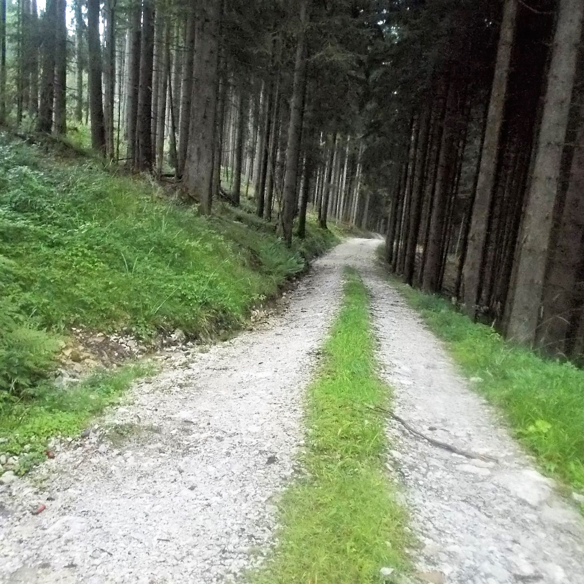
リードル峠への急な登り
ハイライト (セグメント) • 山道
翻訳者 Google •
役立つ情報 は

今すぐサインアップして、こんな場所を発見しよう
最高のシングルトラック、ピーク、その他のエキサイティングなアウトドアスポットのおすすめを受け取ろう。
無料新規登録
ファルケンシュタインの眺め
ハイライト • 展望台
翻訳者 Google •
役立つ情報 は

ビヒル峠(740m)
ハイライト (セグメント) • 山道
翻訳者 Google •
役立つ情報 は

インツェラー・ヘーエ
ハイライト (セグメント) • 山道
翻訳者 Google •
役立つ情報 は

無料でサインアップして、さらに多くの山道を発見しましょう ジークスドルフでの。
無料新規登録
すでにアカウントをお持ちですか?



コミュニティからのヒント

いつからSonntagshornはMangfallgebirgeに属するようになったのですか?ビールを飲みすぎたようですね
1
0

A beautiful viewpoint peak, the highest in the Chiemgau Alps, and can be reached with relatively little elevation gain thanks to the high hiking car park. A good start for ski tourers and snowshoe hikers.
4
0

The ascent over the stony path is definitely worth it
0
0

Beautiful summit with a challenging view from the German side. In the distance you can see the foothills of Lake Chiemsee
1
0

Super nice view summit. The Sonntagshorn is the highest mountain in the Mangfall Mountains and accordingly you have a great panoramic view of the entire Mangfall Mountains from Dürrnbachhorn to Hörndlwand, Kampenwand, Hochgern, Hochfelln, Chiemsee, Rauschberg, Zwiesel, Hochstaufen and countless more. To the south-east and south you can see the Leoganger and Loferer Steinberge, as well as the Berchtesgaden Alps with Reiteralpe, Hochkalter, Watzmann and Hochgöll. Salzburg is also within reach in the valley and in the distance the Great Wiesbachhorn and the Grossglockner are also visible on clear days. Really great
2
2

Highest peak in the Chiemgau. The easiest ascent is via the hiking trail from Heutal, the two ascents from Bavaria via the Kraxenbach valleys (climbing passages and debris tears) are more difficult.
1
0

The Falkenstein forms a small, isolated mountain range stretching north-northeast. It stretches over 1.9 kilometers but is only 1 kilometer wide. To the north is the 785 meter high Söldenberg. The Falkenstein range has two peaks - a 1092 meter high pre-summit with a summit cross in the north (north peak) and the actual 1181 meter high main peak at the southern end of the range. Orographically, the southwest side of the Falkenstein range is separated from the Kienbergl (1135 m) in the west by a rather narrow valley. A small stream flows through this valley, ending in the Zwingsee at the western foot of the mountain, and it is also crossed by the German Alpine Road (B 305). The east side of the Falkenstein forms the wide valley, which separates it from Scharnkopf (1356 m) and Gruberhörndl (1493 m). The Falkenseebach flows through the Weittal into the Falkensee and then further north in the direction of Inzell. The Falkenseebach rises in several springs at the southern end of the wide valley west below the Great Tower (1120 m). Just under 900 meters southwest of the main summit, the so-called Weißbach waterhole also flows out of the so-called water hole at the end of the Weittal, which, however, continues south past Scharmann in the direction of the Weißbach glacier garden. The watershed between the catchment area of the Rote Traun and the Saalach runs between these two source areas. At the northeast end of the Falkenstein below the Söldenberg is the Krottensee, whose small outflow flows into the Falkenseebach on the left. (Wikipedia)
0
0
Beautiful peak... The climb on the German side is not for everyone... On one side you have to climb 30-40 meters, on the other a long boulder field leads down over 200 meters of altitude
4
3

komootモバイルアプリでインスピレーションを得よう


さらに探索
これらのガイドでさらに壮大な山道を見てみましょうジークスドルフでの:
