バートベントハイムの天然記念物・トップ20
バートベントハイムが誇る美しい風景を見てみたいなら、バートベントハイムの素晴らしい天然記念物・トップ20
に行ってみましょう。あなたにぴったりの場所が見つかるよう、素晴らしい天然記念物を探索するために必要なすべての情報を集めました。次のアウトドアの冒険に出かける計画の参考にしましょう。
最終更新日: 9月 13, 2026
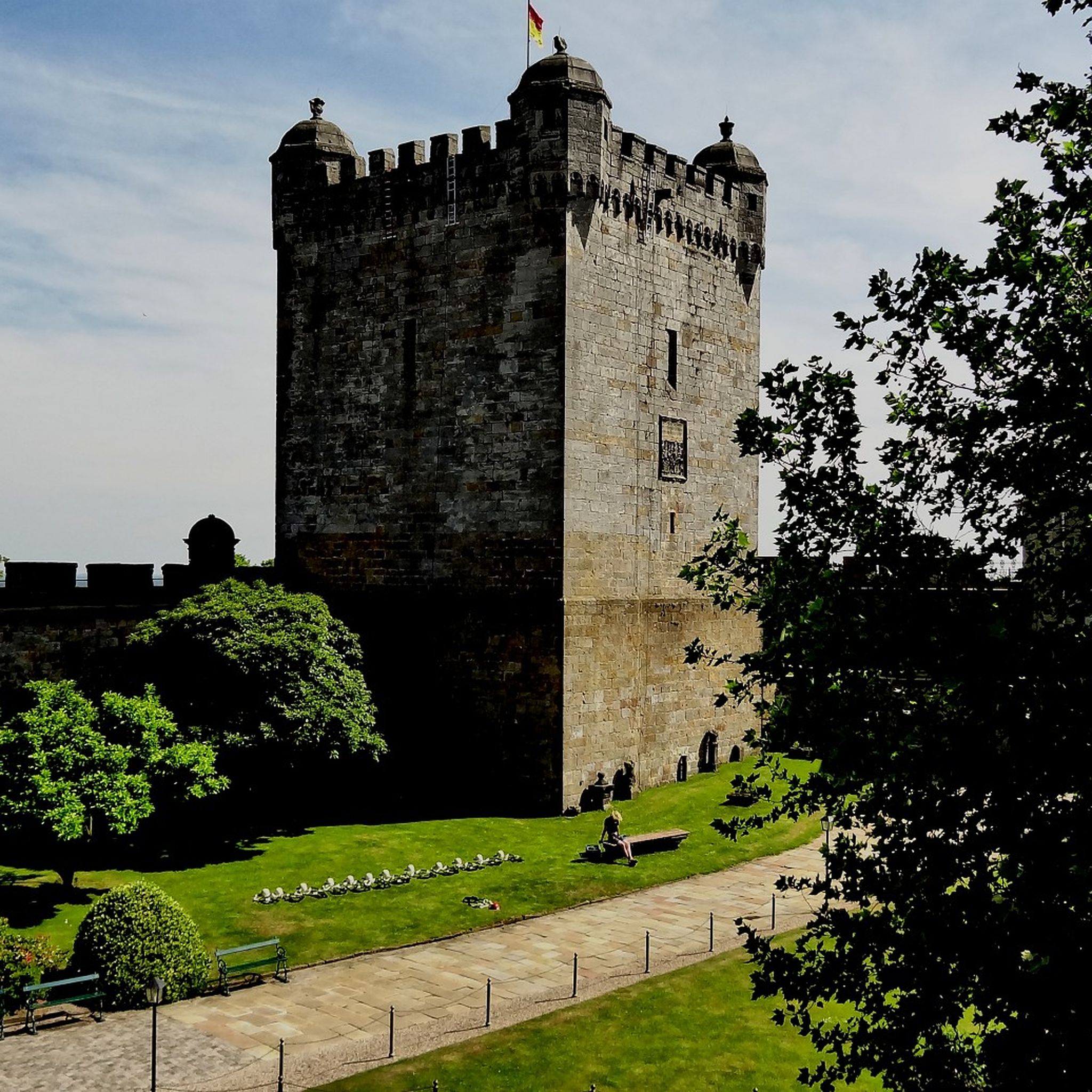
ベントハイム城
ハイライト • 城
翻訳者 Google •
役立つ情報 は

ベントハイム砂岩の断崖
ハイライト • 自然記念物
翻訳者 Google •
役立つ情報 は

今すぐサインアップして、こんな場所を発見しよう
最高のシングルトラック、ピーク、その他のエキサイティングなアウトドアスポットのおすすめを受け取ろう。
ベントハイマー・クリッペン(旧採石場)
ハイライト • 峡谷
翻訳者 Google •
役立つ情報 は

リューエンベルガー・フェン
ハイライト • 自然
翻訳者 Google •
役立つ情報 は

ルッテルザントのディンケル川ビーチ
ハイライト • ビーチ
翻訳者 Google •
役立つ情報 は

無料でサインアップして、さらに多くの自然記念物を発見しましょう バートベントハイムでの。
すでにアカウントをお持ちですか?
無料アカウントで今日から始めよう
次の冒険が待っています。
バートベントハイム周辺で人気
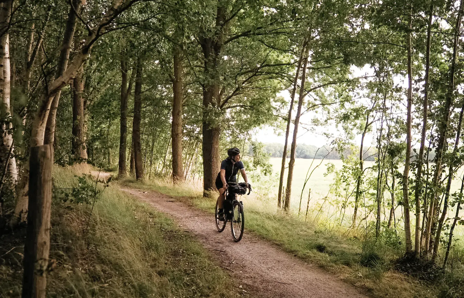
On the go with Fräulein Draußen on the Grafschafter Fietsentour
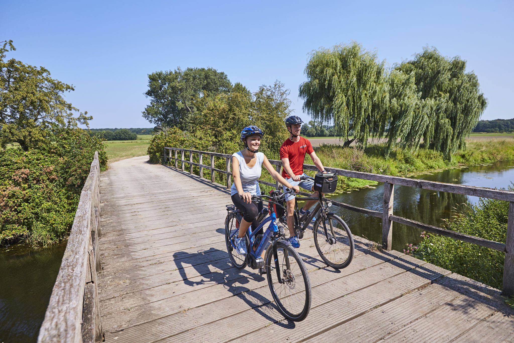
Grafschafter Fietsentour – 緑の国境にあるサイクリングの楽園
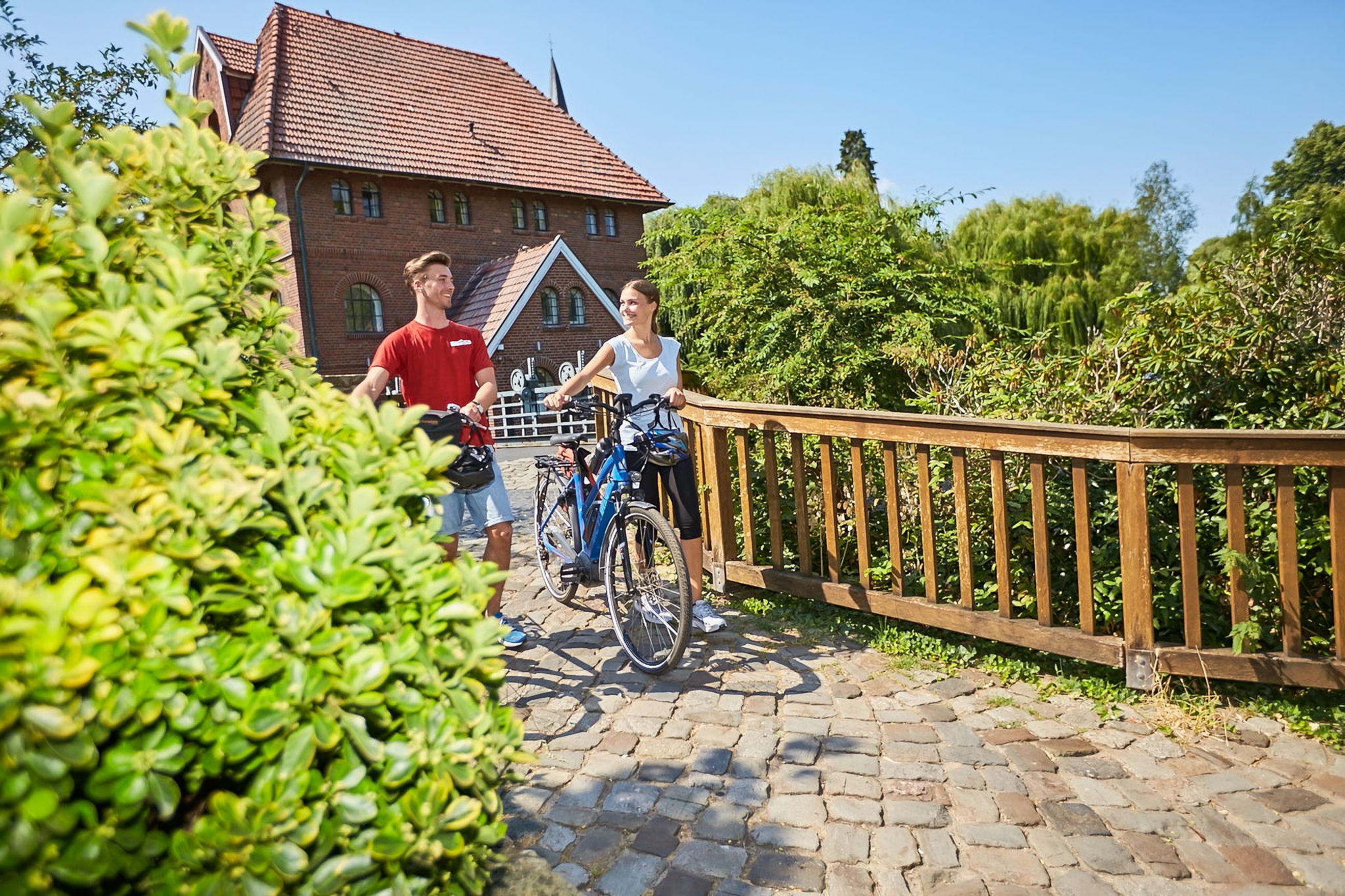
Cycling in the county of Bentheim – pursuit of happiness
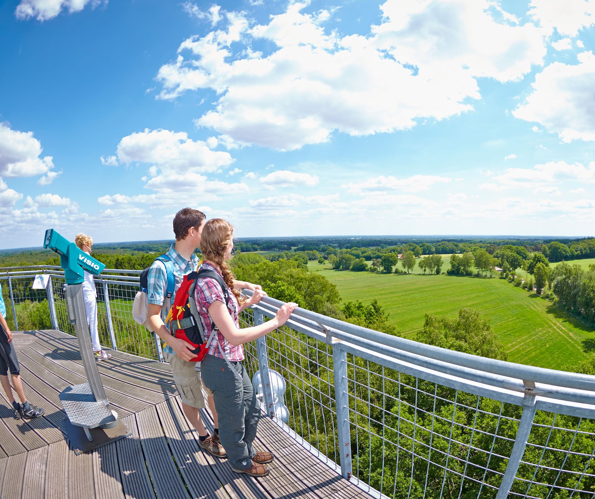
On the trail of gold, bronze and sheep in Grafschaft Bentheim
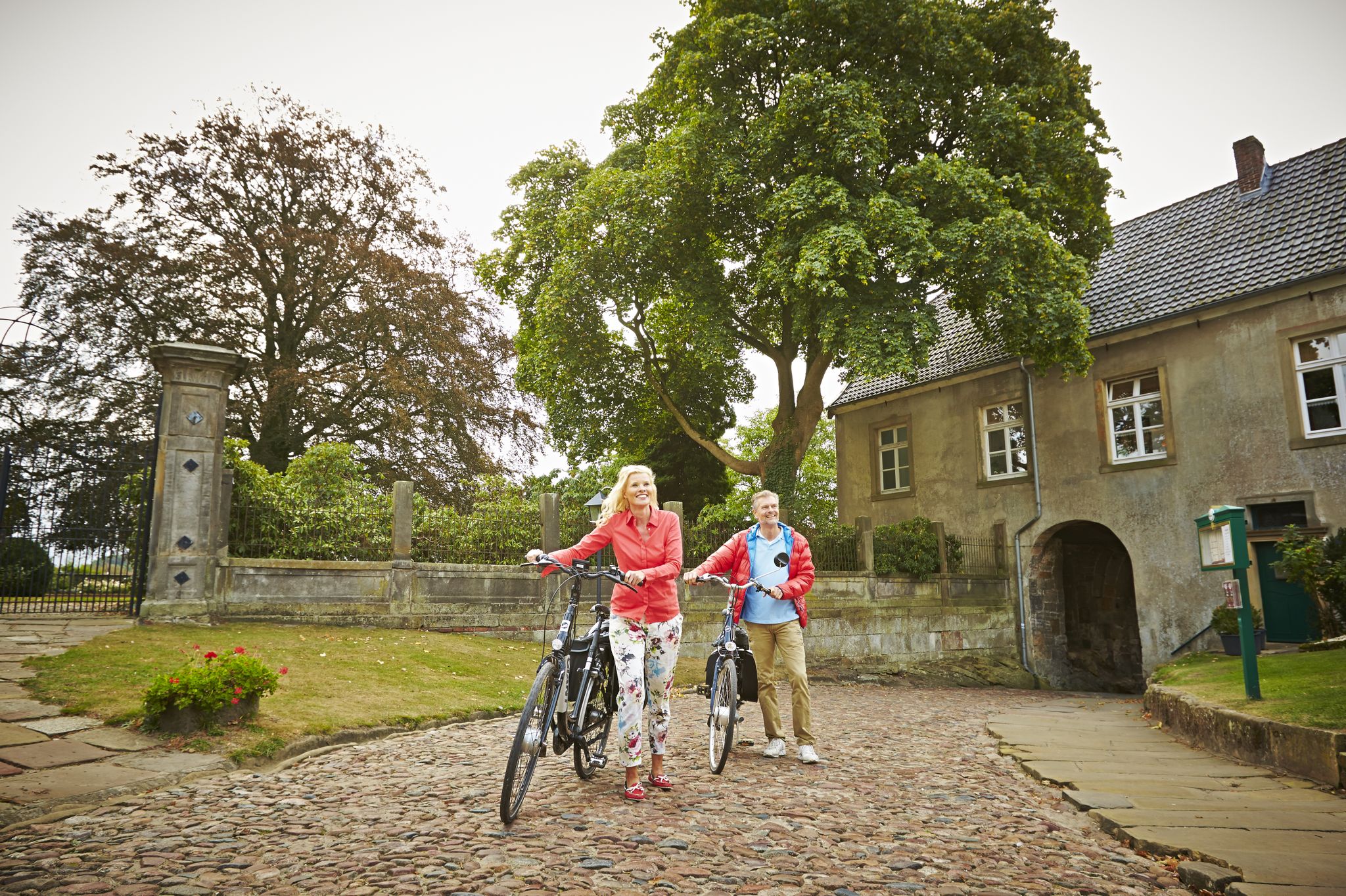
Just get going from Bad Bentheim!
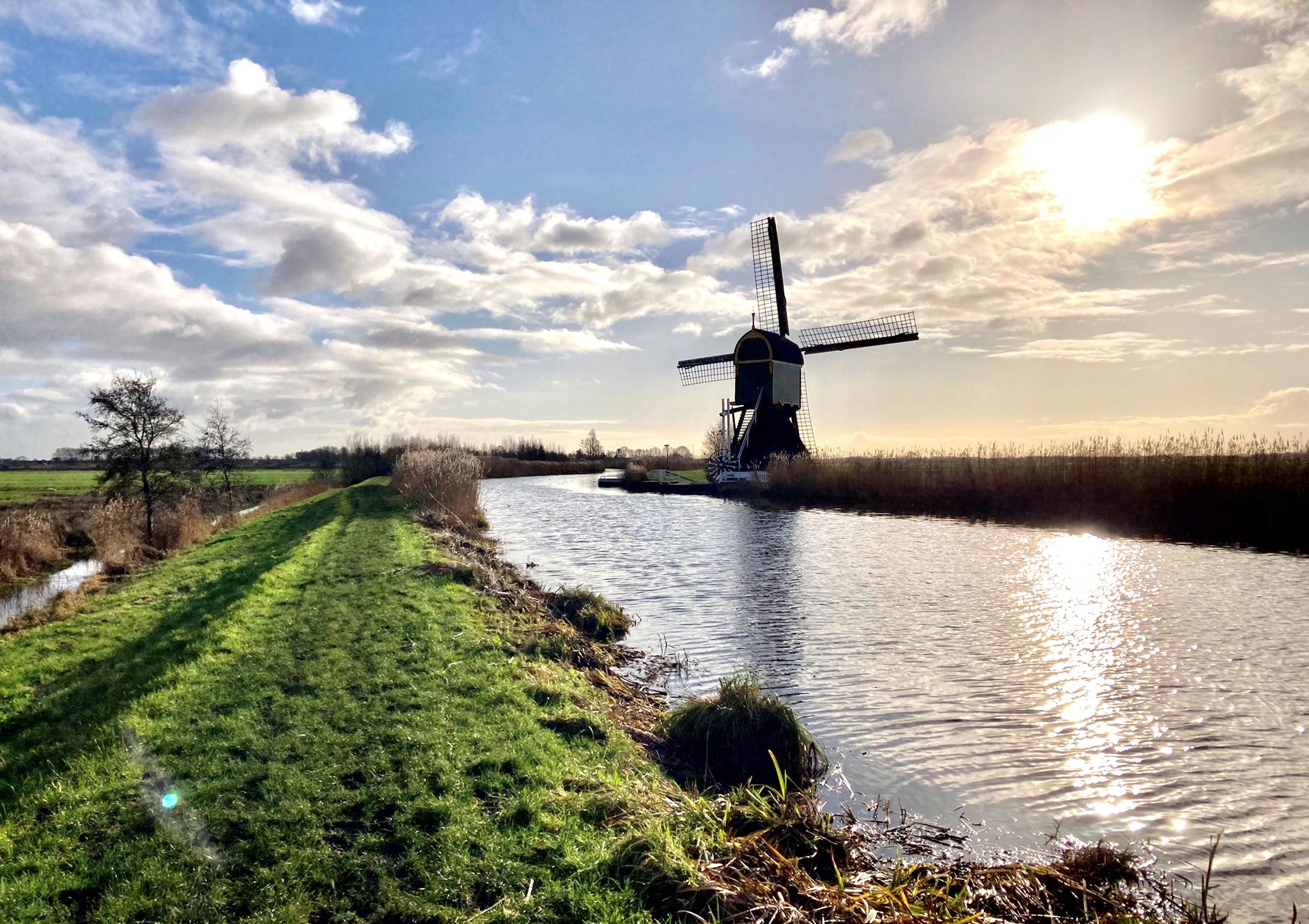
ドイツの国境からオランダの海岸まで – Marskramerpad (LAW 3)
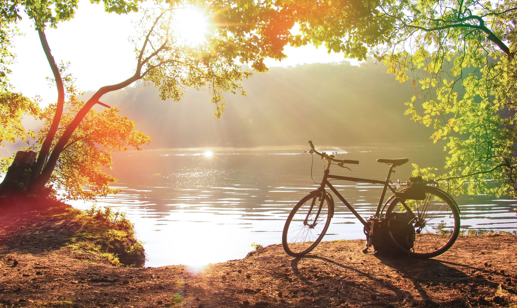
Cycling without borders — Fietsen in the Grafschaft Bentheim
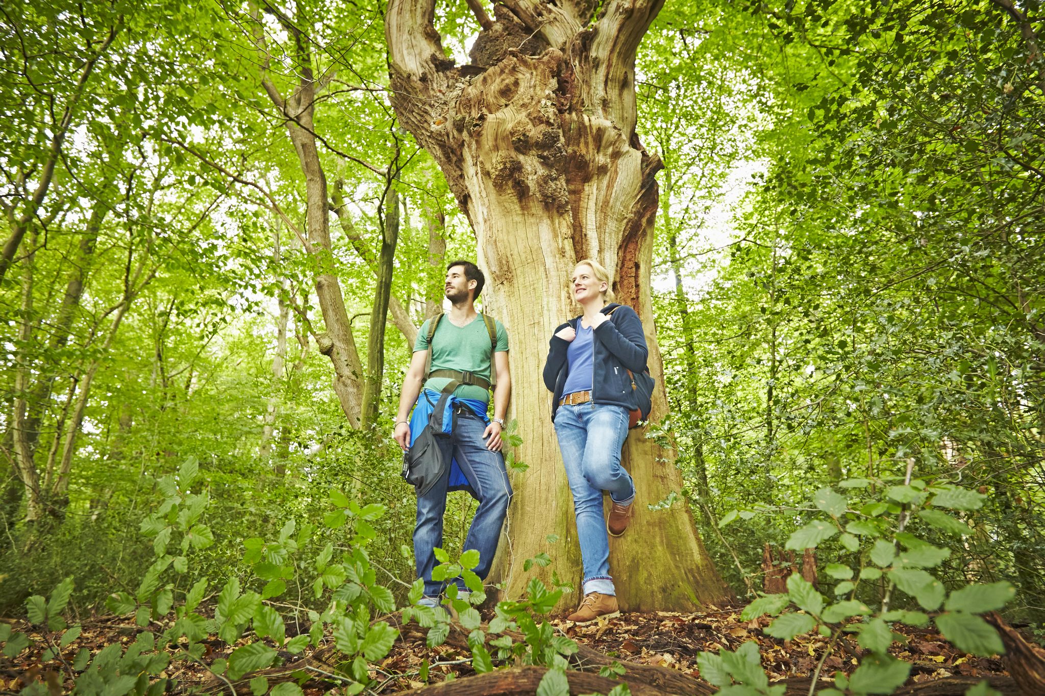
Einfach losgehen rund um Bad Bentheim!
バートベントハイムでのサイクリング
バートベントハイムでのハイキング
バートベントハイムでのの他の冒険


コミュニティからのヒント

In the Franzosenschlucht near Bad Bentheim you can climb over sandstone rocks and walk through a hilly landscape. Behind the open-air stage in Bad Bentheim there is a forest area that is ideal for a walk and climbing: the Franzosenschlucht. The name comes from the fact that in 1795 French troops conquered Bentheim Castle. The soldiers are said to have set up camp in the hidden gorge. Today a road (B 403) runs through the gorge, with two hills rising on either side. On one is the open-air stage, on the other the forest area, both connected by a bridge. The hills owe their rock formations to a former quarry, the origins of which date back even further than the French siege. Sandstone has been mined in quarries in Bad Bentheim since the 11th century.
5
0

The Rüenberger Venn nature reserve is located in the town of Gronau (Westf.) in the Borken district in North Rhine-Westphalia. The area extends northeast of the core town of Gronau. It borders directly on the Gildehauser Venn to the north, which lies in the Grafschaft Bentheim district of Lower Saxony. To the west of the area lies the 28-hectare Dreiländersee and to the southeast lies the 170.44-hectare Tütenvenn nature reserve. To the west runs the L 572 state road and the state border with the Netherlands.
8
0

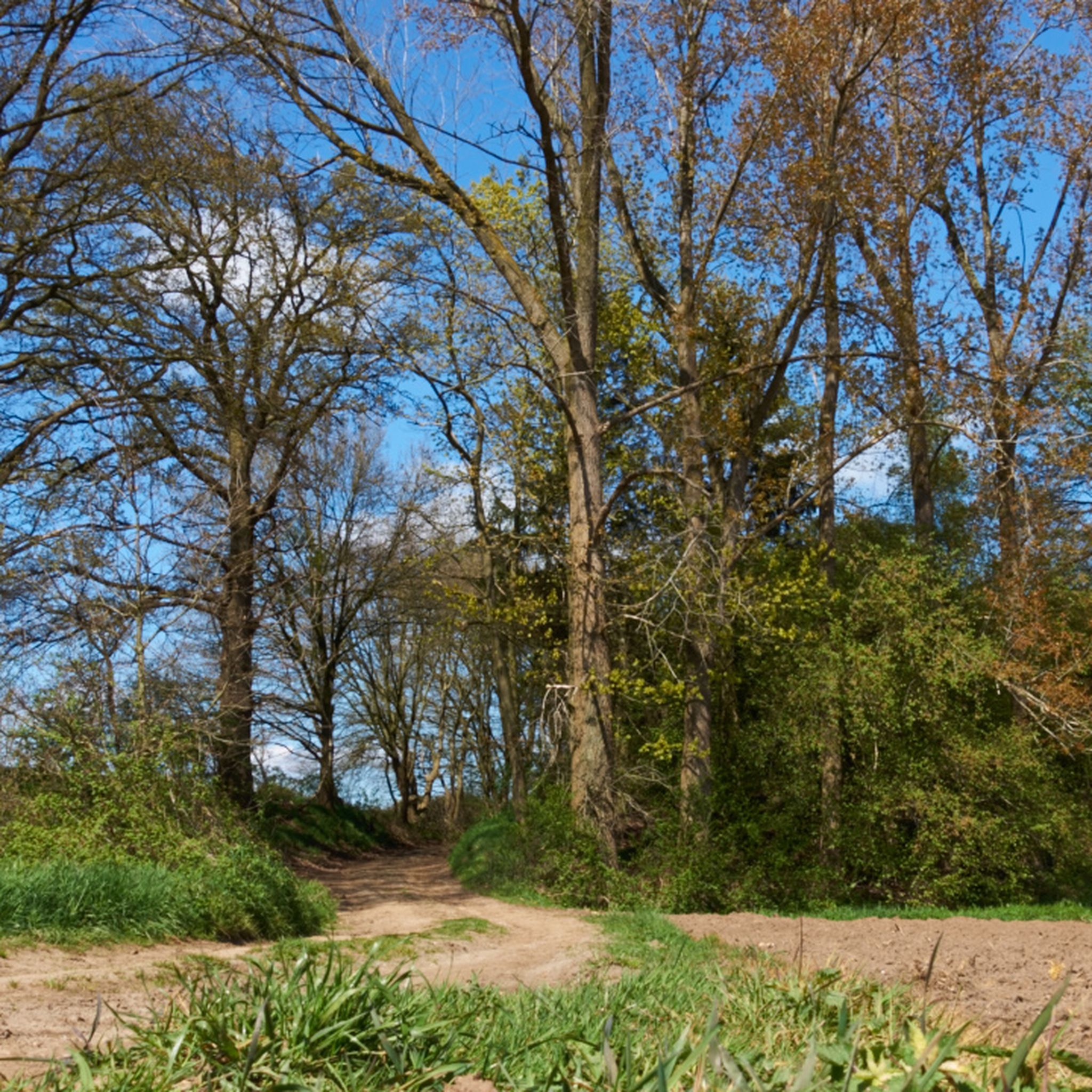
A beautiful path that is most beautiful in spring when everything is green.
11
0

Narrow path along the top, down to the right and left. Beautiful view. No bike path. Soft forest floor. Nice for walking.
5
0


Great narrow ridge path that I highly recommend.
4
0

Are there also outdoor options there, e.g. camping ⛺ in the forest etc, because just walking is too boring for me.
5
0
バートベントハイムでのの人気観光スポット

komootモバイルアプリでインスピレーションを得よう


さらに探索
これらのガイドで、最高の洞窟を探す範囲を広げましょうバートベントハイムでの:
