オーバーホーフのバイクパーク・トップ20
オーバーホーフには思いっきり楽しめるバイクパークがいくつもあります。komootコミュニティのメンバーが投稿したハイライトのコレクションを参考に、素晴らしいバイクパークのトレイルを満喫するアドベンチャーに出かけましょう。クリックするだけでバイクパークのマップと体験者からの情報を確認でき、次の冒険の参考にすることができます。
最終更新日: 9月 13, 2026
オーバーホフ冬季スポーツセンター
ハイライト • 休憩所
翻訳者 Google •
役立つ情報 は

オーバーホーフ
ハイライト • 集落
翻訳者 Google •
役立つ情報 は

今すぐサインアップして、こんな場所を発見しよう
最高のシングルトラック、ピーク、その他のエキサイティングなアウトドアスポットのおすすめを受け取ろう。
グレンツアドラー境界石
ハイライト • 記念碑
翻訳者 Google •
役立つ情報 は

ローダの森トレイル
ハイライト (セグメント) • トレイル
If you want a crisp finish, drive along the kindergarten fence on the left, which is for advanced students 😁
翻訳者 Google •
役立つ情報 は

アドラーズベルクトレイル
ハイライト (セグメント) • トレイル
The big jumps can all be avoided.
The highlight is clearly the length of the trail.
翻訳者 Google •
役立つ情報 は

無料でサインアップして、さらに多くのバイクパークを発見しましょう オーバーホーフでの。
すでにアカウントをお持ちですか?
無料アカウントで今日から始めよう
次の冒険が待っています。
オーバーホーフ周辺で人気
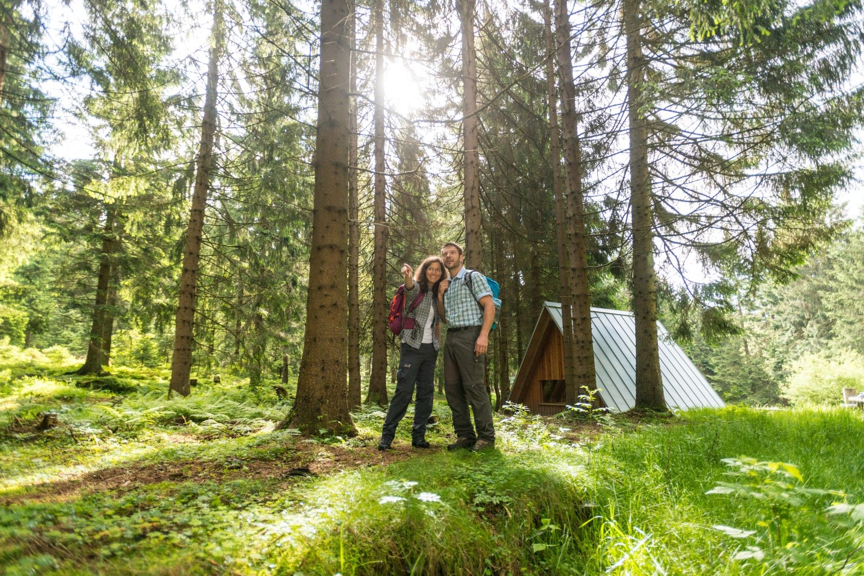
ザ・レンシュタイク — テューリンゲンの最も美しいハイキングルート
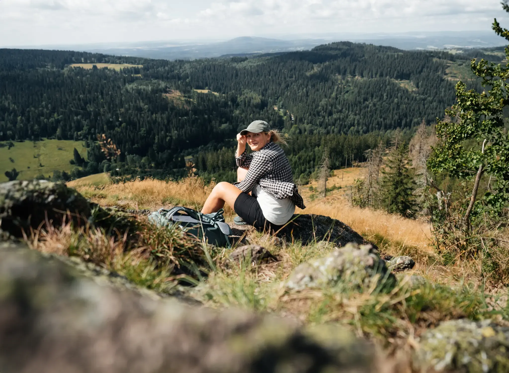
More than 'just' trees – Draußen in the Thuringian Forest
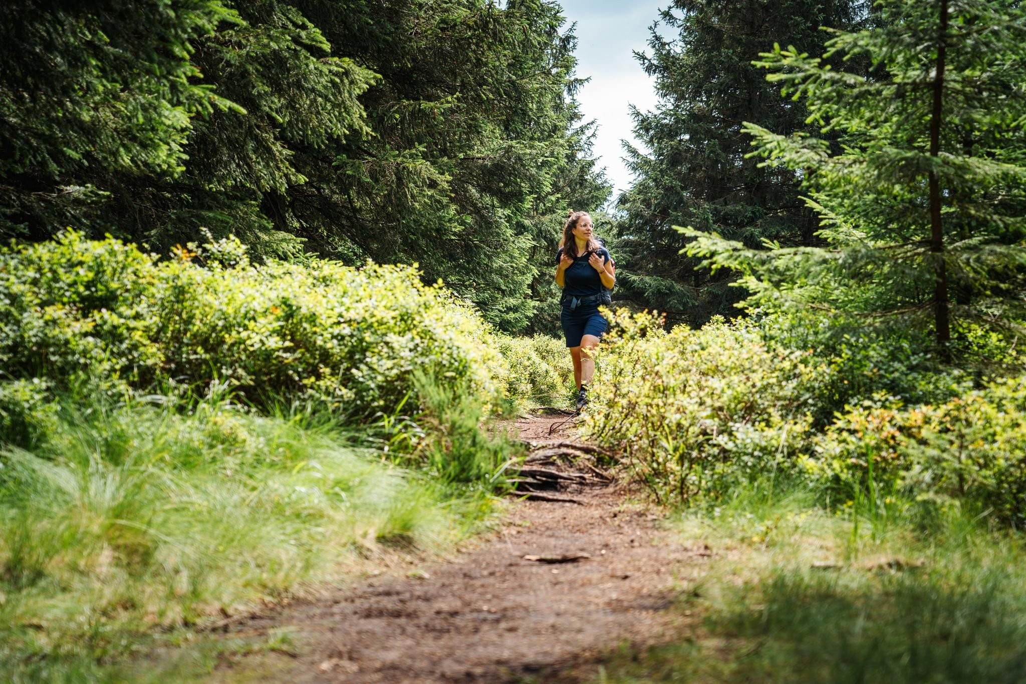
テューリンゲンの森が呼んでいます – レンシュタイクでの遠距離ハイキング

Long distance hiking trails in the Thuringian Forest
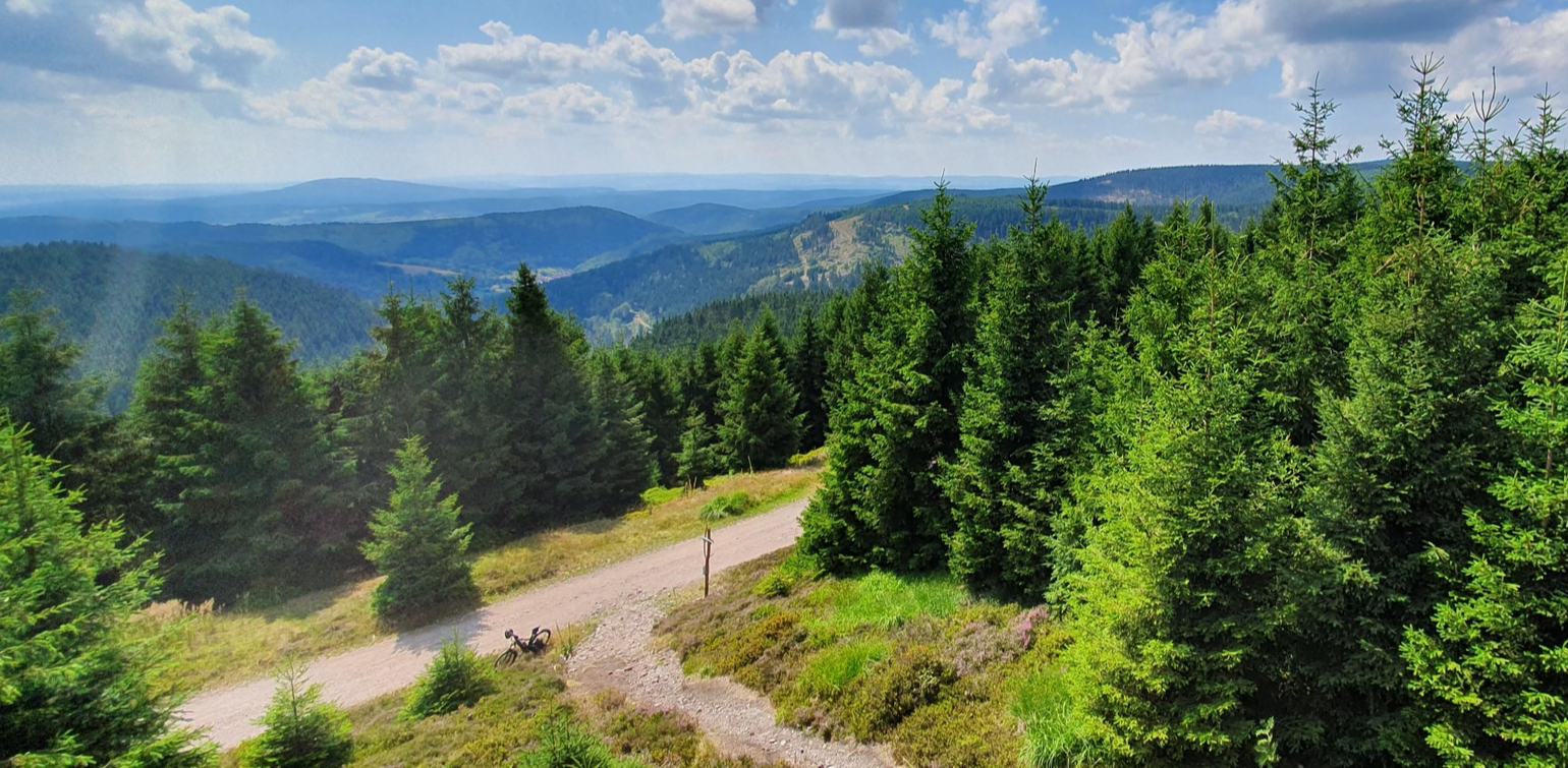
MTB ドイツ中央部を通って — レンシュタイクでの3日間
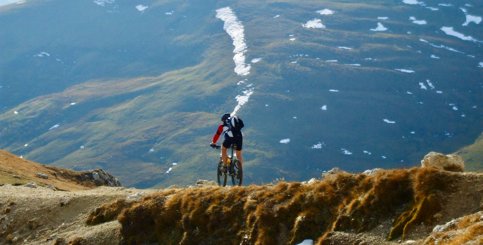
スキーリゾート内のフロートレイル
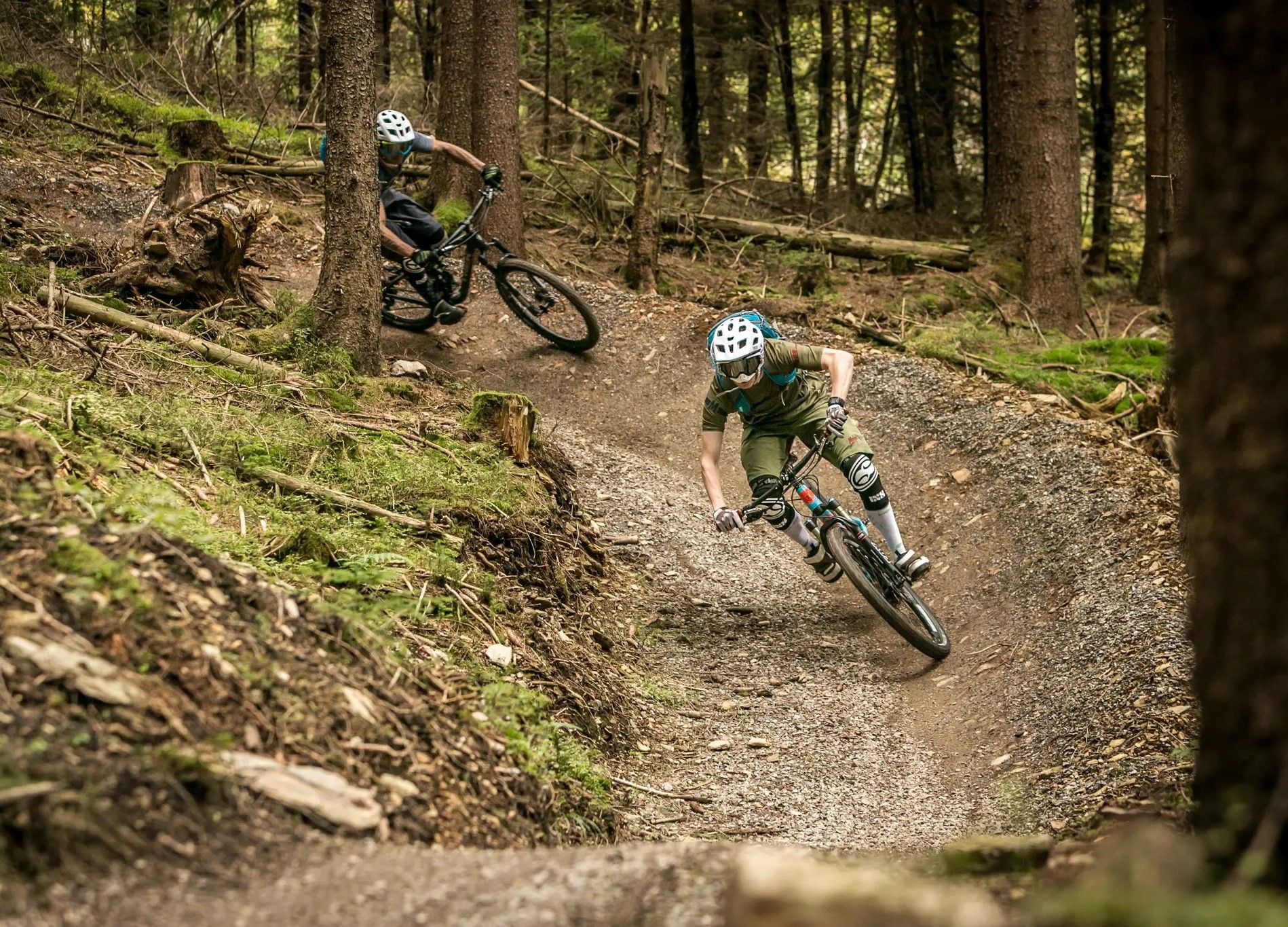
Bike parks in the heart of Germany
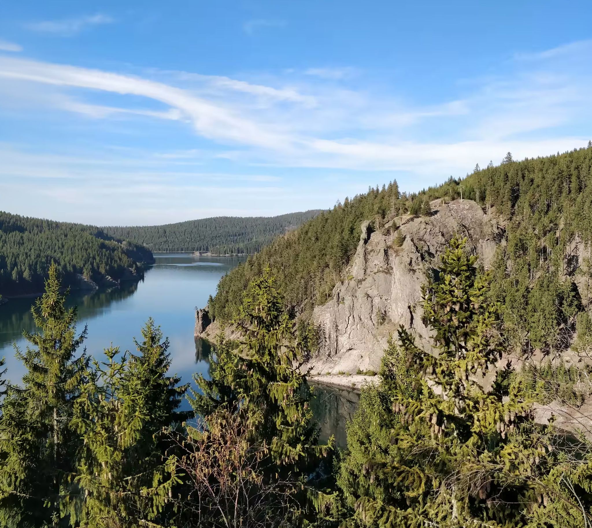
Zwischen Rennsteig und Talsperren – Mikroabenteuer im Thüringer Wald
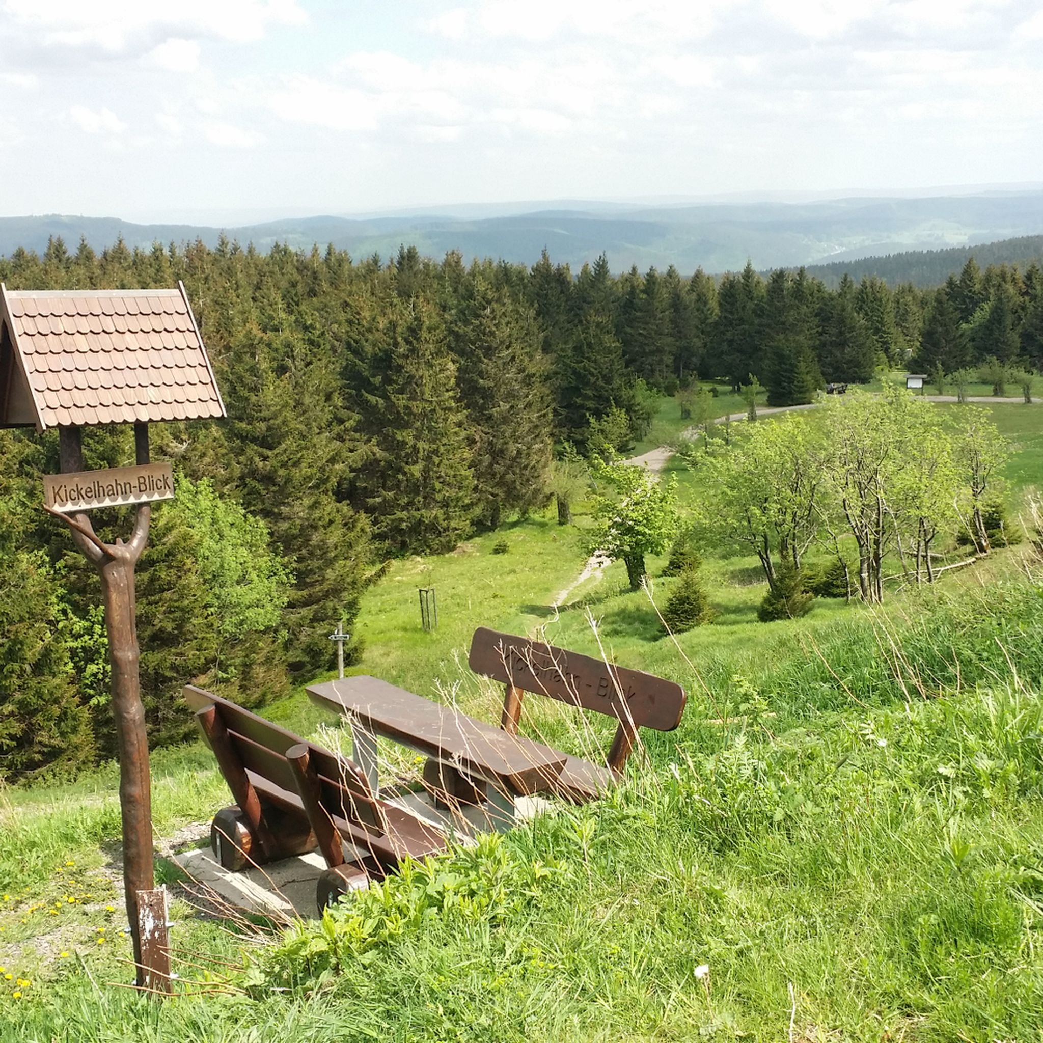
オーバーホーフでのハイキング
オーバーホーフでのサイクリング
オーバーホーフでのの他の冒険


コミュニティからのヒント


I recommend long clothes for the stinging nettles and scrub in the summer. No idea how to ride some jumps (very big) but if you want to ride them, you should also think about protectors, because the landing area is very narrow (|).
1
0

Such a beautiful forest area which is destroyed by the MTB riders. Cross-country driving creates strong grooves in the ground. This loosens the underlying stones (rocks) and rolls down into the valley. For those walking below wander a danger. Furthermore, the trees lose their footing and in heavy rain the water can no longer seep away.
0
5

The Adlersbergtrail, also called "Eisbärenweg", is very nice and flowy to ride even without bike park experience. But be careful, actually forbidden and hikers can also come towards you (own experience). So beware.
1
0

The biathlon arena was extensively rebuilt and modernized especially for the 2023 Biathlon World Cup. The arena can accommodate around 25,000 spectators (13,000 in the stadium/ 12,000 on the tracks. The shooting range with its 30 lanes has been equipped with a new electronic system.
8
0
I was here on February 10, 2023, for the women's sprint. You have to experience it for yourself. A fantastic facility, and the atmosphere here is fantastic. A huge thank you to all the volunteers who make this possible every year. I was able to witness Denise Hermann-Wick run to the World Sprint Gold Medal. Very, very nice.
22
0

komootモバイルアプリでインスピレーションを得よう


さらに探索
まだ完璧なバイクパークを探していますか?これらの場所のガイドをチェックしましょう:
