フランクフルト・アム・マインの天然記念物・トップ20
フランクフルト・アム・マインが誇る美しい風景を見てみたいなら、フランクフルト・アム・マインの素晴らしい天然記念物・トップ20
に行ってみましょう。あなたにぴったりの場所が見つかるよう、素晴らしい天然記念物を探索するために必要なすべての情報を集めました。次のアウトドアの冒険に出かける計画の参考にしましょう。
最終更新日: 10月 10, 2026
フランクフルト・ニード近郊のニッダ堰
ハイライト • 川
翻訳者 Google •
役立つ情報 は

シュヴァンハイマー砂丘の木道
ハイライト • 自然記念物
翻訳者 Google •
役立つ情報 は

今すぐサインアップして、こんな場所を発見しよう
最高のシングルトラック、ピーク、その他のエキサイティングなアウトドアスポットのおすすめを受け取ろう。
アルター・フルークプラッツ・ボナメス
ハイライト • 構造物
翻訳者 Google •
役立つ情報 は

ロールベルクから望むフランクフルトのスカイライン
ハイライト • 展望台
翻訳を表示中
役立つ情報 は

ヘッヒスター堰(ニッダ川)
ハイライト • 川
翻訳者 Google •
役立つ情報 は

マウンツェンヴァイアー
ハイライト • 湖
翻訳を表示中
役立つ情報 は

ニッダ魚道(ソッセンハイム)
ハイライト • 川
翻訳者 Google •
役立つ情報 は

Wörthspitze — ニッダ川とマイン川の合流点
ハイライト • 川
Here you have beautiful views over to the Höchst Main bank with the Bolongaro Palace.
翻訳者 Google •
役立つ情報 は

グリルシャー旧河道
ハイライト • 川
翻訳者 Google •
役立つ情報 は

ニッダ旧堰システム(1920年)- FFM/ Höchst 🚴♂️
ハイライト • 川
Nidda Old Weir (1920) - Frankfurt/Höchst 🚴♂️
The old weir from 1920, used to regulate the Nidda, no longer has a crossing and has since been demolished …
翻訳者 Google •
役立つ情報 は

無料でサインアップして、さらに多くの自然記念物を発見しましょう フランクフルト・アム・マインでの。
すでにアカウントをお持ちですか?
無料アカウントで今日から始めよう
次の冒険が待っています。
フランクフルト・アム・マイン周辺で人気
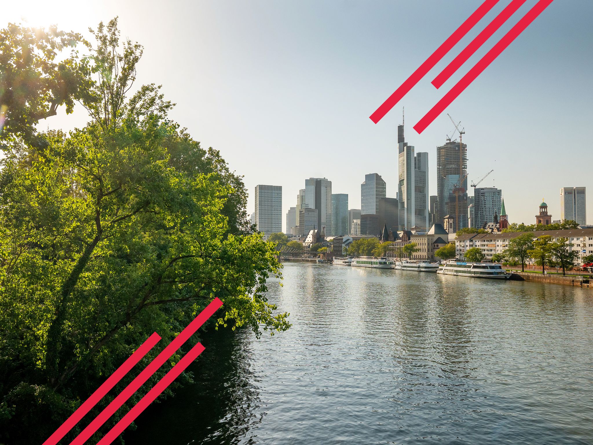
Goethe, GrünGürtel & big city flair – culture & nature in Frankfurt
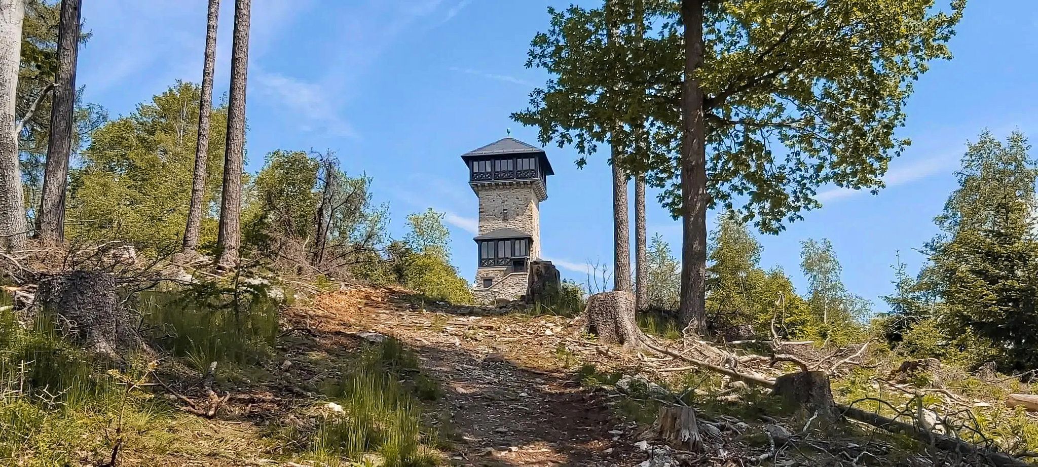
Autumn views: to the most beautiful vantage points in the RMV area

By bike and train into the green - cycling Tours around the EUROBIKE

Orchards, vineyards, taverns – hikes in the RMV area

Out into spring – glorious hikes with the RMV
スカイラインからハーフタイムバード建物まで – フランクフルトからビーレフェルト
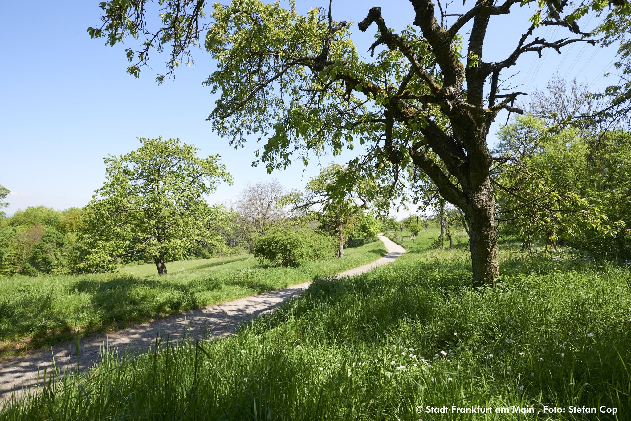
グリューンギュルテル円周ウォーキング・トレイルFrankfurt am Main

Bikepacking to road cycling to MTB – on Tour with RMV
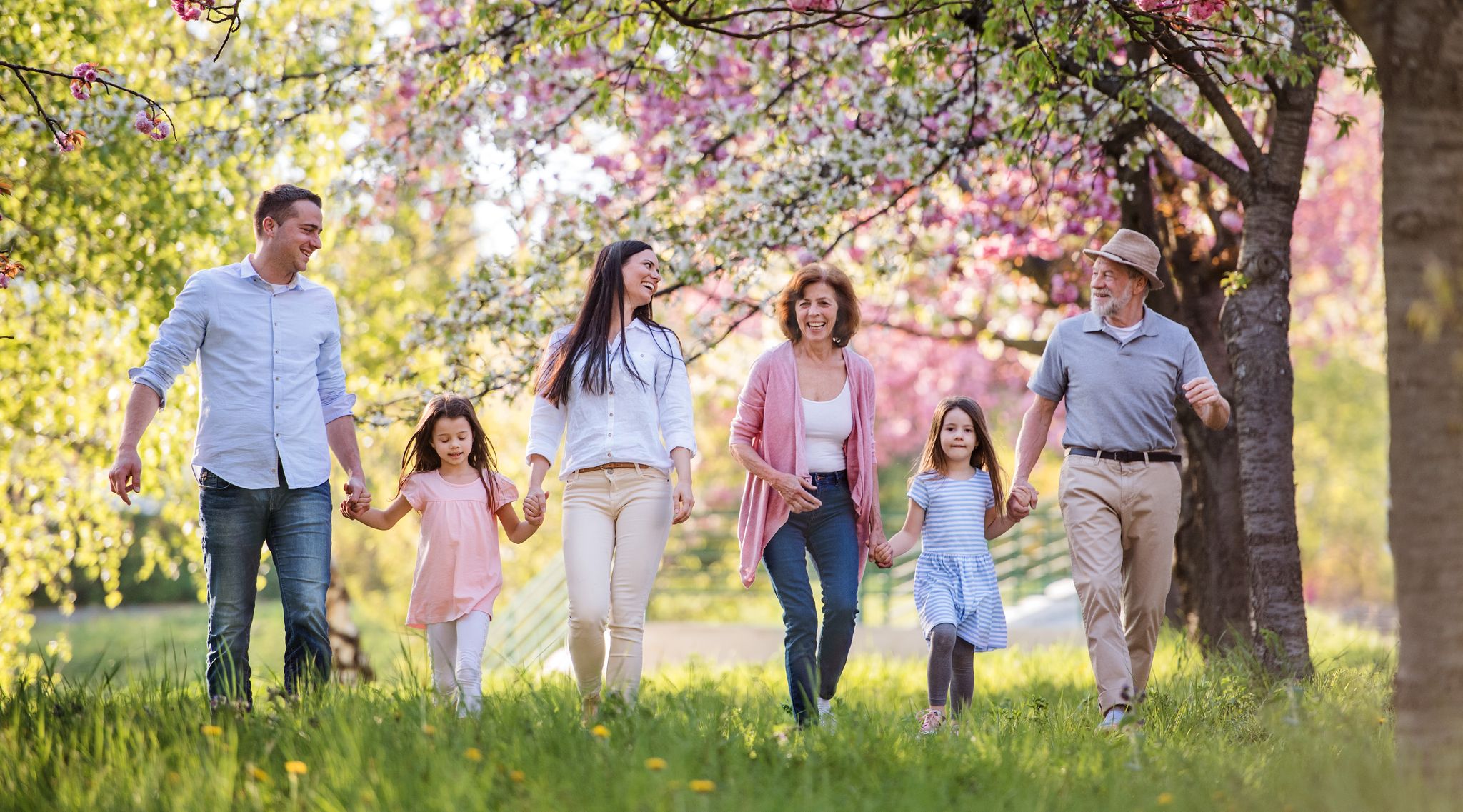
Spring is here – hiking with family by bus & train in Rhine-Main

Discover the wintry Rhine-Main region
フランクフルト・アム・マインでのの他の冒険


コミュニティからのヒント

The Old Airfield (formerly Maurice Rose Airfield) in Frankfurt's Green Belt is a former American military airfield used until 1992. It covers an area of approximately 4.5 hectares and lies within the districts of Frankfurt-Bonames and Frankfurt-Kalbach-Riedberg. After its closure, it was transformed into a nature and recreation area in 2003/04 by the "Green Belt" project group and the GTL Landscape Architects office, for which they received the German Landscape Architecture Prize in 2005.
11
1
Here is the Mautzen Weiher in the Frankfurt city forest, very beautiful water
12
0

The Höchster weir is located on the Nidda between Nied and Höchst. Until 2013, there was a classic weir with flaps here. Since this weir was insurmountable for fish, it was converted into a weir, which allows fish to migrate effortlessly and offers them new habitats. Some species of fish lay their spawn here and do not want to be disturbed by swimming people or dogs. More information: https://frankfurt.de/themen/umwelt-und-gruen/orte/stadtgewaesser/nidda/hoechster_wehr https://news.stadtentwaesserung-frankfurt.de/umbau-der-wehre/hoechster-wehr.html
0
1

Unfortunately, the pressure on the water sections has increased so much that nature is now suffering as a result. The municipal authorities, as the lower nature conservation authority, have therefore issued a general order governing the use of the Nidda section. From the time the orders come into force, barbecuing, camping and boating on the Nidda are prohibited. Access to the banks of the Nidda for those seeking recreation is not restricted; access is only prohibited for the fish ladder, the weir and the islands in the area of the former Höchst weir.
2
0

The renaturation of the Nidda is visible at this point and significantly increases the attractiveness of this section.
0
0

This is a protected landscape area! It is forbidden to camp, picnic, swim, grill or light fires, dump rubbish, let dogs run free... Additional signs have finally been put up!
4
0

The large circular tour in Frankfurt's Green Belt is around 64 kilometers long. It follows the signposted Green Belt cycle route, which is also included in the Green Belt leisure map. The route leads - starting in the west - through the Nidda valley, in the northwest over the hills of the Berger Ridge up to 212 meters and then through the city forest in the south back to the mouth of the Nidda. (Source: https://radroutenplaner.hessen.de)
1
0

フランクフルト・アム・マインでのの人気ルート
フランクフルト・アム・マインでのの人気観光スポット

komootモバイルアプリでインスピレーションを得よう


探していたものは見つかりませんでしたか?
地域ごとのトップハイライトをチェックして、さらに素晴らしい自然のモニュメントを見つけましょうフランクフルト・アム・マインでの:
さらに探索
これらのガイドで、最高の洞窟を探す範囲を広げましょうフランクフルト・アム・マインでの:
