シュヴァダーロッホ周辺のアトラクション&必見スポット - トップ20
シュヴァダーロッホには必見のスポットがたくさんあります。ハイキング愛好家やサイクリング愛好家の方は、ぜひシュヴァダーロッホを探索してこのエリアにある20
の隠れたスポットを訪れてみてください。このエリアの必見スポットを確認し、次の冒険に出かける計画を立てましょう。
最終更新日: 9月 13, 2026
ヴァルトシュトゥットのライン自転車道
ハイライト • サイクリングロード
翻訳者 Google •
役立つ情報 は

ラウフェンブルク旧市街とライン橋
ハイライト • 集落
翻訳者 Google •
役立つ情報 は

今すぐサインアップして、こんな場所を発見しよう
最高のシングルトラック、ピーク、その他のエキサイティングなアウトドアスポットのおすすめを受け取ろう。
ラウフェンブルク旧市街
ハイライト • 歴史的な場所
翻訳者 Google •
役立つ情報 は

ラウフェンブルク橋
ハイライト • 橋
翻訳を表示中
役立つ情報 は

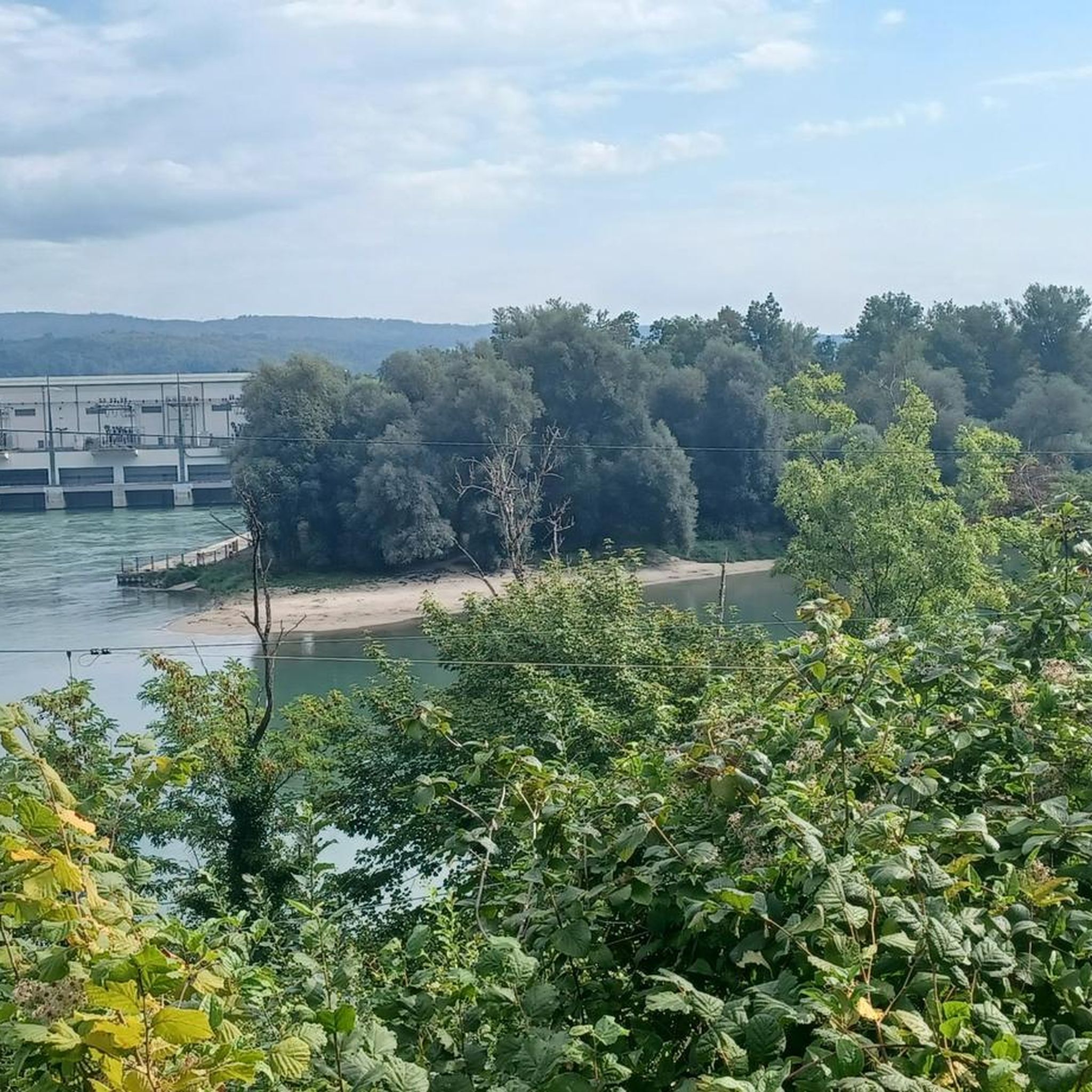
アーレ川とライン川の合流点
ハイライト • 川
翻訳者 Google •
役立つ情報 は

無料でサインアップして、さらに多くの観光スポットを発見しましょう シュヴァダーロッホでの。
すでにアカウントをお持ちですか?
無料アカウントで今日から始めよう
次の冒険が待っています。
コミュニティからのヒント

Actually, there are two towns: Laufenburg (Baden) on the German side and Laufenburg AG (Aargau) on the Swiss side. The Swiss part was formerly called "multiple towns" or Grosslaufenburg, while the now Baden part is called "lesser towns" or Kleinlaufenburg. Both parts have historic town centers worth seeing. https://de.wikipedia.org/wiki/Laufenburg_AG https://de.wikipedia.org/wiki/Laufenburg_(Baden)
1
0

No matter which side of the country you view Laufenburg from, both old towns have their own charm. Here we're looking at the Swiss side. The so-called "Rhygarten" is also clearly visible. This urban strip of green space along the banks of the Rhine is not only used for relaxation, but also for festivals and markets. This is a particularly pleasant place to dip your feet in the cool water.
1
0

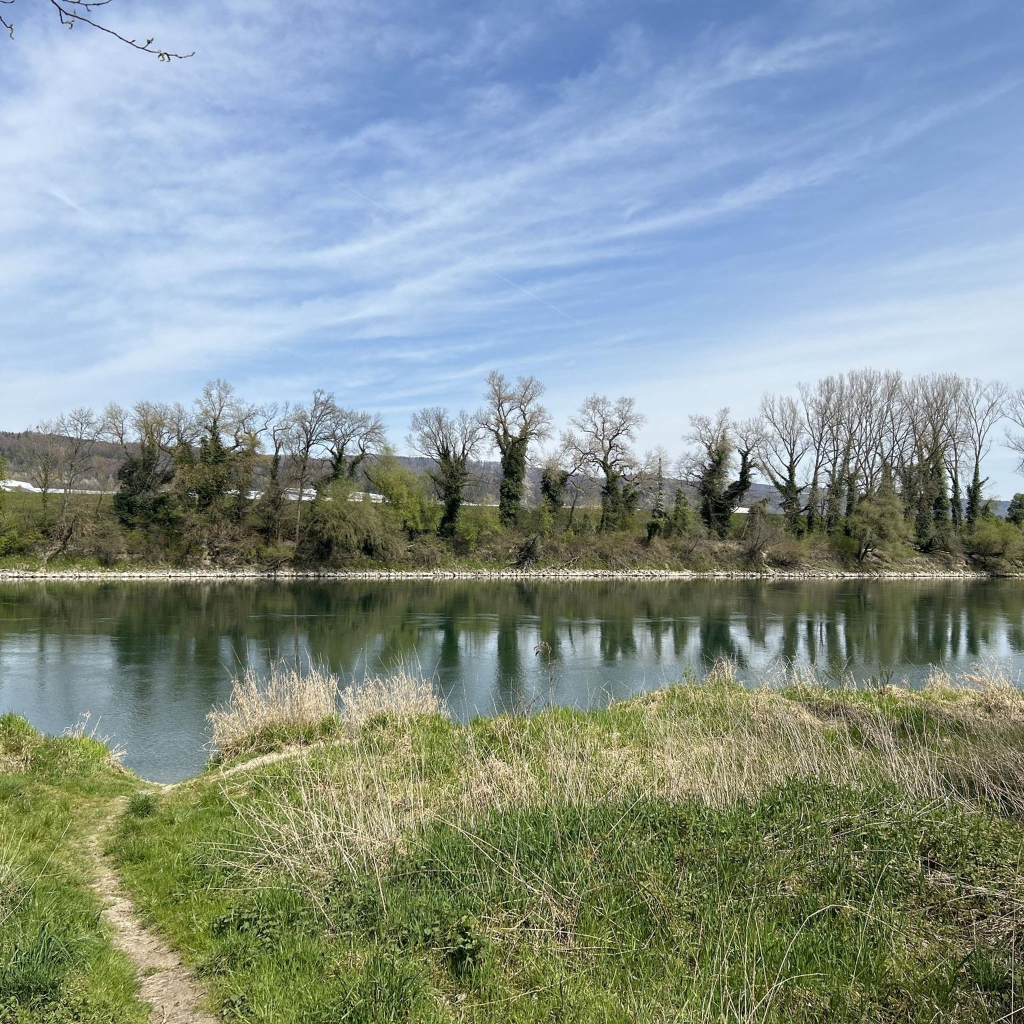
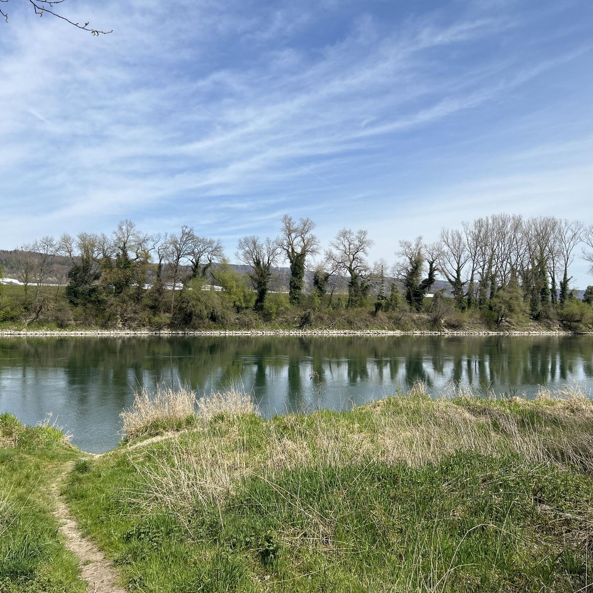
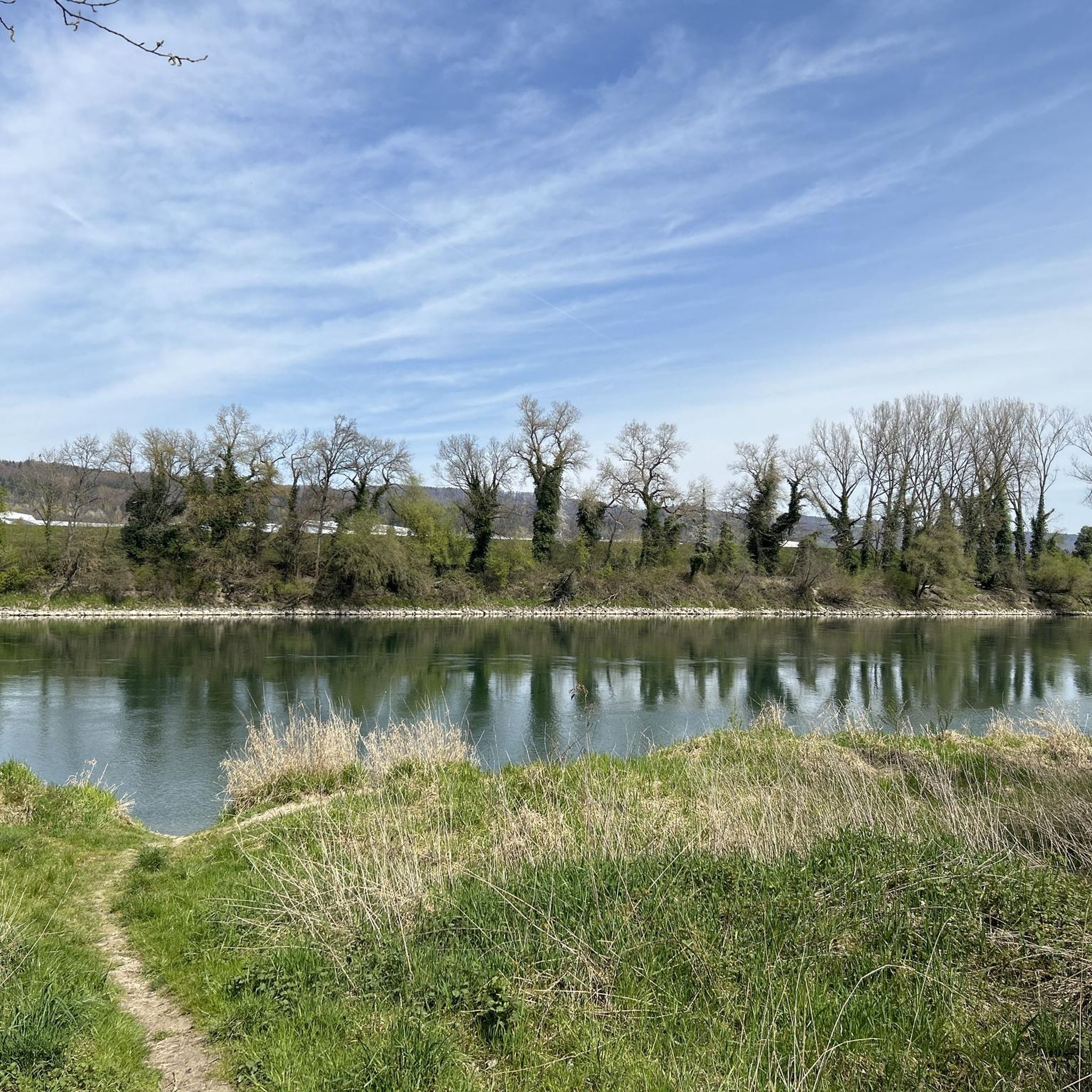
It's easy to ride. When we were there, the bike path was very close to being flooded.
1
0

Entrance to Laufenburg with beautiful houses
2
0
directly at the mouth a last bridge crosses the Aare
0
0

It's nice to drive over this bridge again and again... Very nice construction of the bridge, beautiful view from the bridge.
2
0

Laufenburg was first mentioned in a document in 1207. For centuries, fishing (Salme) and rafting were important industries in the town. In 1802 Napoleon ceded the Fricktal to the Helvetic Republic. The canton of Fricktal was created. But as early as 1803, the Fricktal was assigned to the newly founded canton of Aargau.
12
0

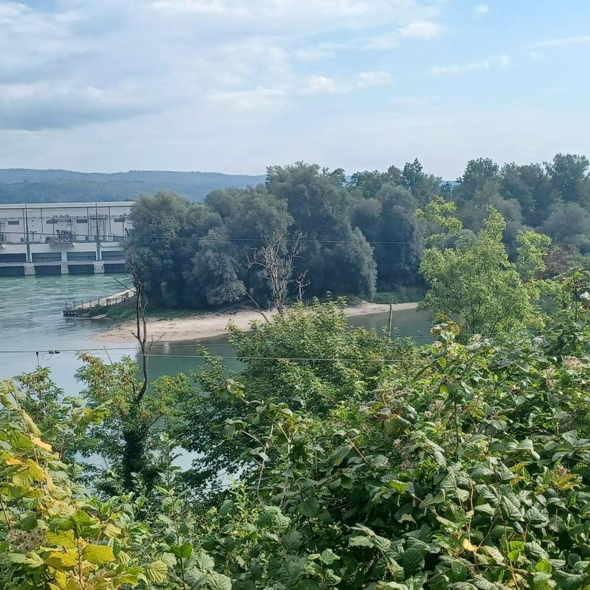
estuary near Koblenz Freshly strengthened by the two rivers, the Aare begins its final journey. After 291 kilometers it flows into the Rhine near Koblenz - together with this, the water from the Bernese Alps becomes the longest European river, which pours into the North Sea behind Rotterdam. https://bellevue.nzz.ch/reisen-discoveren/die-aare-von-der-quelle-bis-zur-muendung-ld.1346827
1
0

komootモバイルアプリでインスピレーションを得よう


さらに探索
まだ探しているハイライトが見つかりませんか?他の地域のトップアトラクションのガイドを見てみましょう:
