ティトン郡の峠・トップ6
風景を楽しんだり、上りや下りを満喫したり、峠には楽しみ方がたくさんあります。ティトン郡の素晴らしい峠の一覧を参照して、思い出に残るアドベンチャーに出かけましょう。コミュニティのメンバーがコミュニティのために投稿した峠のハイライトは、他のユーザーが実際におすすめする情報なので、どれも信頼できるものです。気に入った峠にさっそく向かってみましょう。
最終更新日: 8月 31, 2026
テートン峠頂上
ハイライト • 山道
役立つ情報 は

ペイントブラッシュ・ディバイド
ハイライト • 山道
役立つ情報 は

今すぐサインアップして、こんな場所を発見しよう
最高のシングルトラック、ピーク、その他のエキサイティングなアウトドアスポットのおすすめを受け取ろう。
無料新規登録
ティートン・パス - ジャクソンホール・コミュニティ・パスウェイ頂上
ハイライト • 山道
役立つ情報 は

フォックス・クリーク峠
ハイライト • 山道
役立つ情報 は

オールド・トグウィーティ・ハイウェイ
ハイライト (セグメント) • トレイル
役立つ情報 は

バッファローソルジャートレイルからのテトンズの眺め
ハイライト • 展望台
役立つ情報 は

無料アカウントで今日から始めよう
次の冒険が待っています。
ログインまたは登録



ティトン郡の他の冒険


コミュニティからのヒント

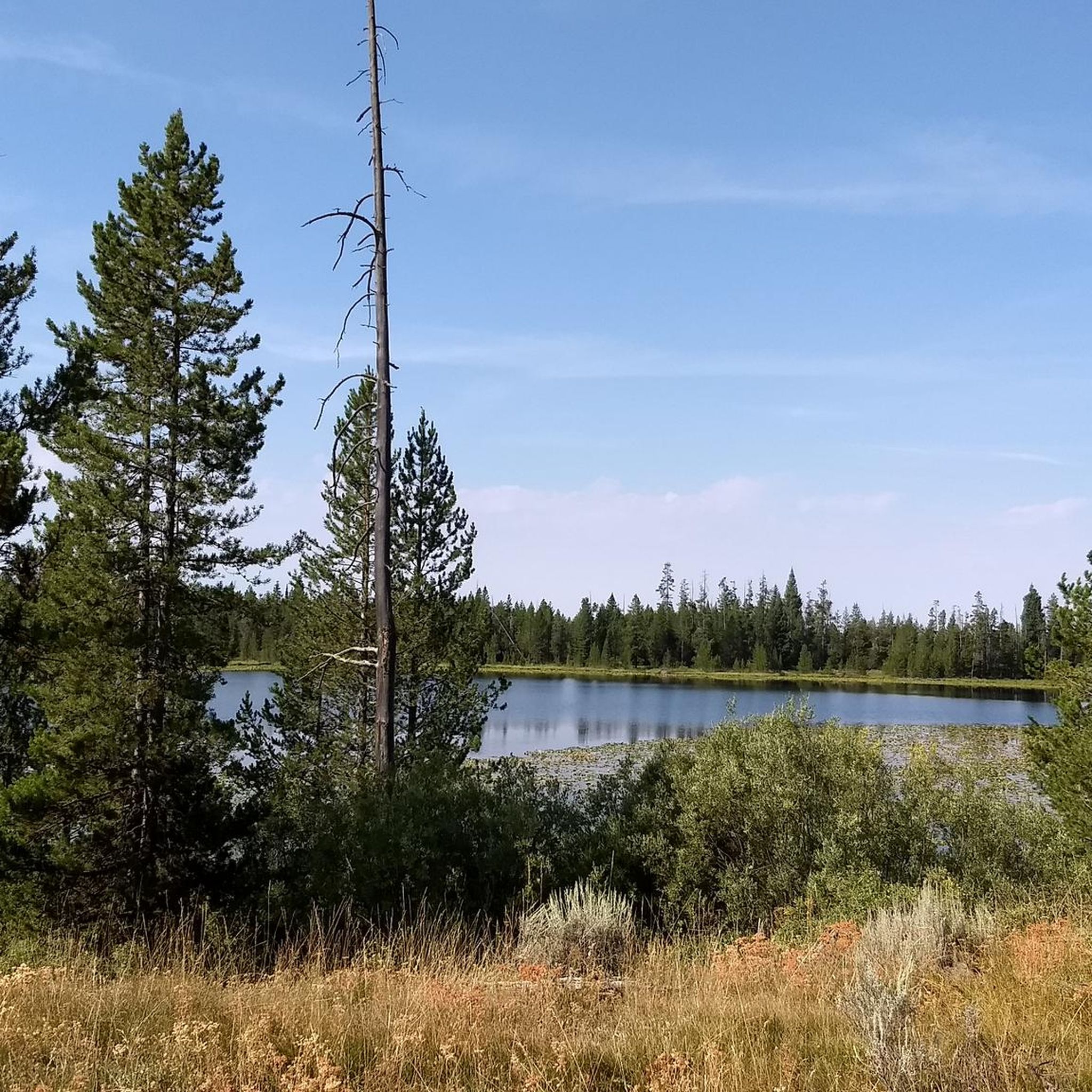
There is an easy gravel path from here to Pass Lake, which yields and epic mirrored view of Spearhead Peak. The west shore of Pass Lake is the boundary of Grand Teton National Park, so as long as you are 200 feet from the trail and any water sources, you can camp for free without a permit (look for pre-existing dispersed camping sites).
0
0

Named after Shoshone Chief Togwotee, this beautiful stretch of gravel road connects Grand Teton National Park to the Wind River Country via Togwotee Pass (9,655ft/2,943 m).
0
0


From this pass, you can access both Jackson Hole in Wyoming and the Teton Valley, offering stunning views of both. It's an ideal starting point for your hike, as several trails can be accessed from here.
2
0

Old Pass Road is now converted to a more gradual access trail parallel to the new Teton Pass road, without car traffic.
0
0

Check trail conditions with Rangers! We came in July and had to cover several snow drifts. It was doable with normal hiking equipment, but the Rangers will know the current conditions.
0
0

From this point on Buffalo Soldier trail, you'll enjoy views of the Tetons and the alpine terrain in nearly every direction. Soak it in before you point it downhill for miles of descending (or before adding more climbing to your day, if that's your thing)!
1
0

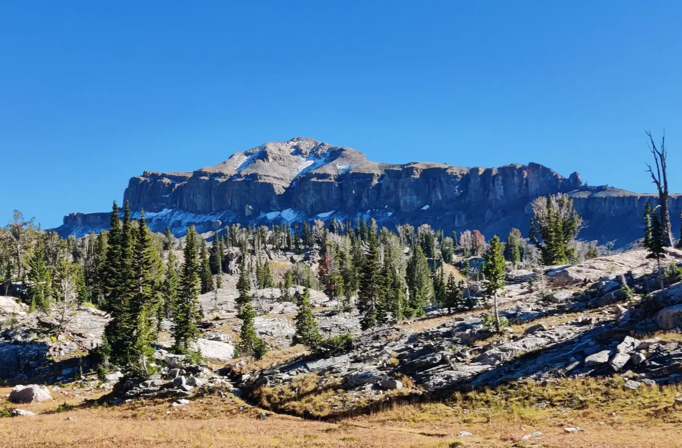
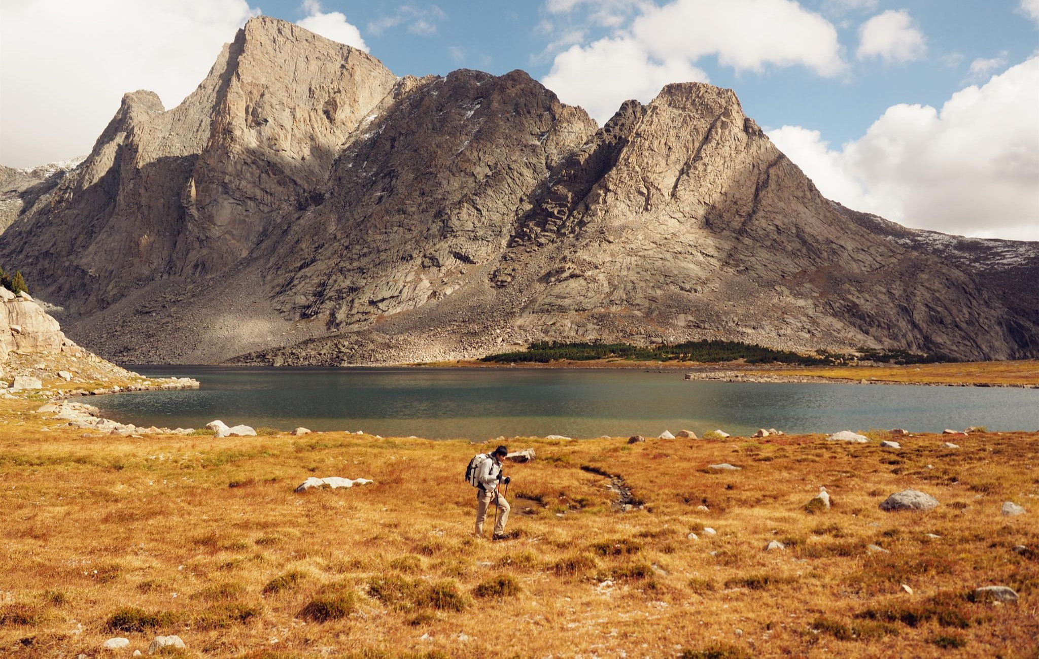
Painbrush Divide sits just below Paintbrush Peak at 10,700 feet and offers some of the most stunning, panoramic views in the park of Mount Moran, Mount Woodring, and Rockchuck Peak. Is a long and challenging, but rewarding spot to get to at the top of the beautiful Paintbrush Canyon. Before attempting to get to the divide, you should stop by the Jenny Lake Ranger Station check the conditions on Paintbrush Divide. It often holds snow until mid-July and can therefore be dangerous if attempted without the proper equipment.
0
0

komootモバイルアプリでインスピレーションを得よう


探していたものは見つかりませんでしたか?
地域ごとに整理されたさらに素晴らしい山道を見つけましょうティトン郡:
さらに探索
これらのガイドでさらに壮大な山道を見てみましょうティトン郡:
