マエストラズゴの天然記念物・トップ11
マエストラズゴが誇る美しい風景を見てみたいなら、マエストラズゴの素晴らしい天然記念物・トップ11
に行ってみましょう。あなたにぴったりの場所が見つかるよう、素晴らしい天然記念物を探索するために必要なすべての情報を集めました。次のアウトドアの冒険に出かける計画の参考にしましょう。
最終更新日: 9月 13, 2026
ラ・オス
ハイライト • 峡谷
翻訳者 Google •
役立つ情報 は

ペニャローヤ山頂と展望塔
ハイライト • 山頂
翻訳者 Google •
役立つ情報 は

今すぐサインアップして、こんな場所を発見しよう
最高のシングルトラック、ピーク、その他のエキサイティングなアウトドアスポットのおすすめを受け取ろう。
ピタルケ川の源流
ハイライト • 川
翻訳者 Google •
役立つ情報 は

ミハレス川の渓谷
ハイライト • 峡谷
翻訳者 Google •
役立つ情報 は
洞窟の景色
ハイライト • 洞窟
翻訳者 Google •
役立つ情報 は

セドリーリャスからアバブフへの山岳峠
ハイライト • 山道
役立つ情報 は

垂直に切り立つ岩稜
ハイライト • 自然記念物
翻訳者 Google •
役立つ情報 は

プエルト・デ・ロス・オルガノス・デ・モントロ
ハイライト (セグメント) • 山道
翻訳者 Google •
役立つ情報 は

ポン・ロマ
ハイライト • 橋
翻訳者 Google •
役立つ情報 は

ペーニャ・オヘラダの岩層
ハイライト • 自然記念物
翻訳者 Google •
役立つ情報 は
無料でサインアップして、さらに多くの自然記念物を発見しましょう マエストラズゴでの。
すでにアカウントをお持ちですか?
無料アカウントで今日から始めよう
次の冒険が待っています。
マエストラズゴ周辺で人気
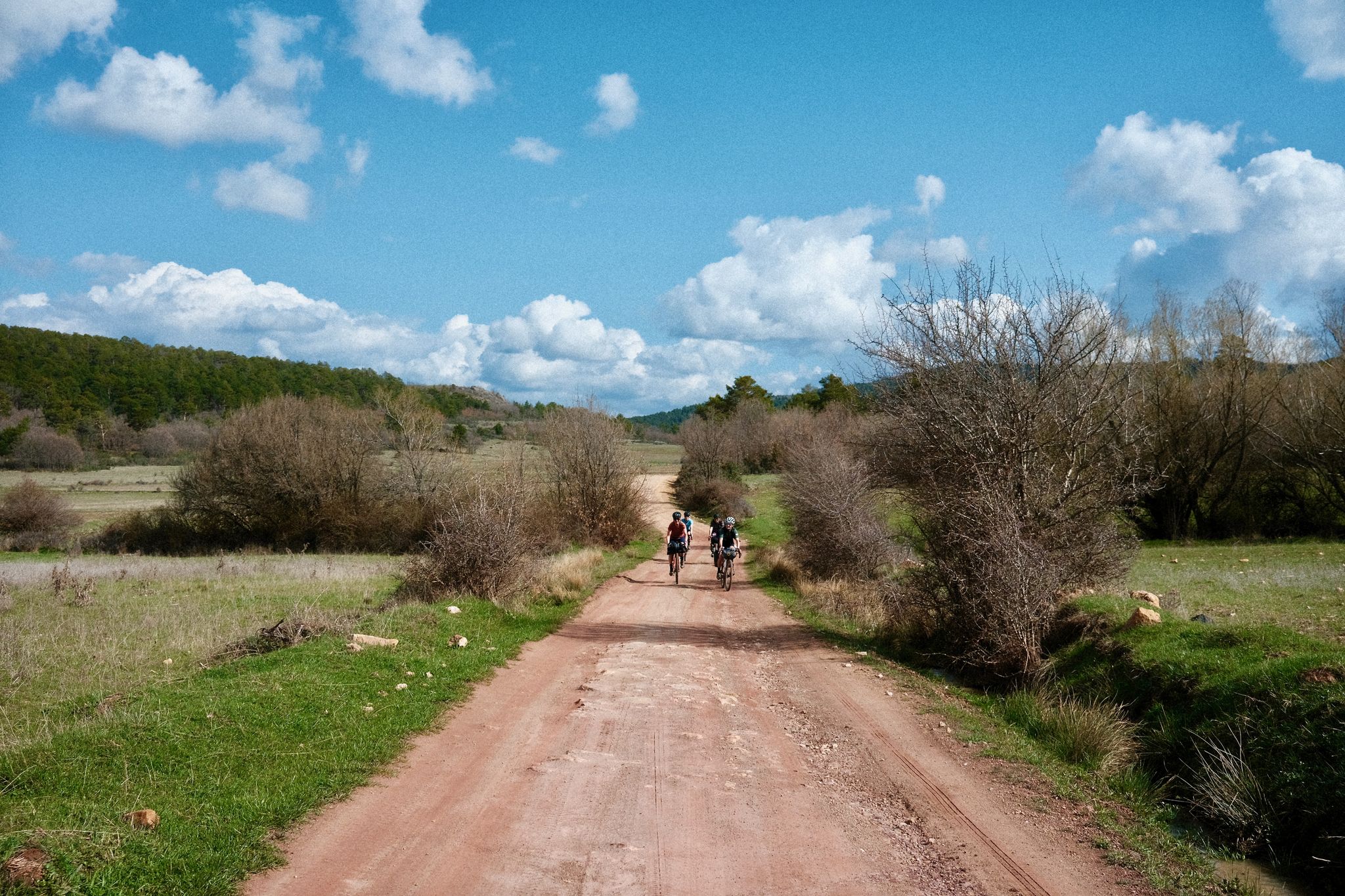
Women's Montañas Vacías 2022 - ブルドランアブラースのビストイルバルームの地土

モンタニャスバシアス公式 - スペインのラプランドを横断するバイクパッキング
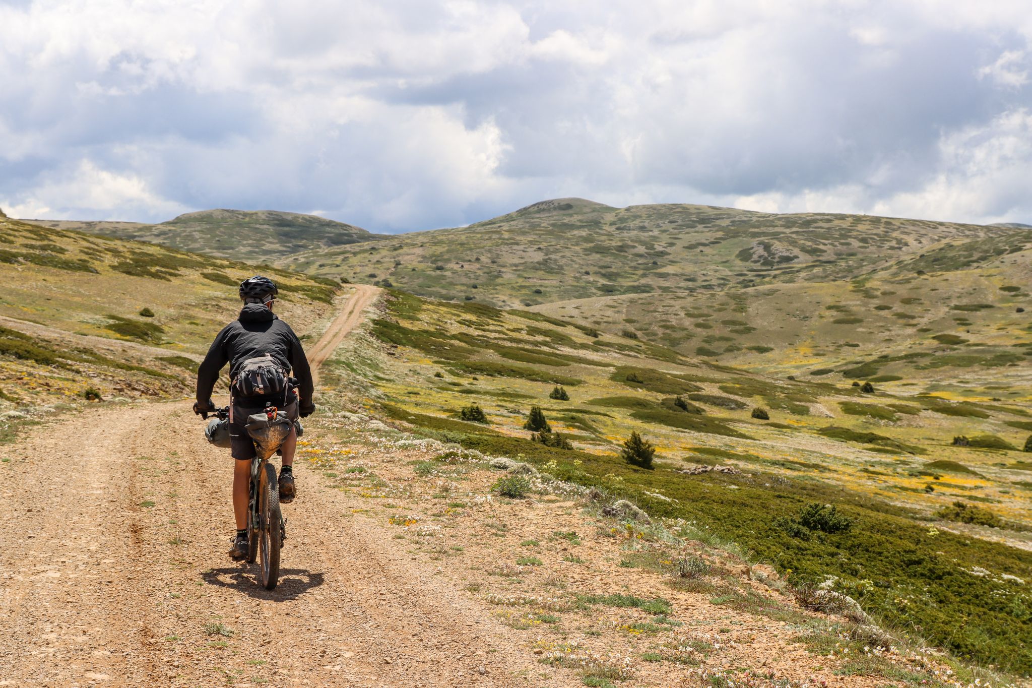
Montañas Vacías — ブリアールドラールの難年の青治れていません 'Empty Mountains'
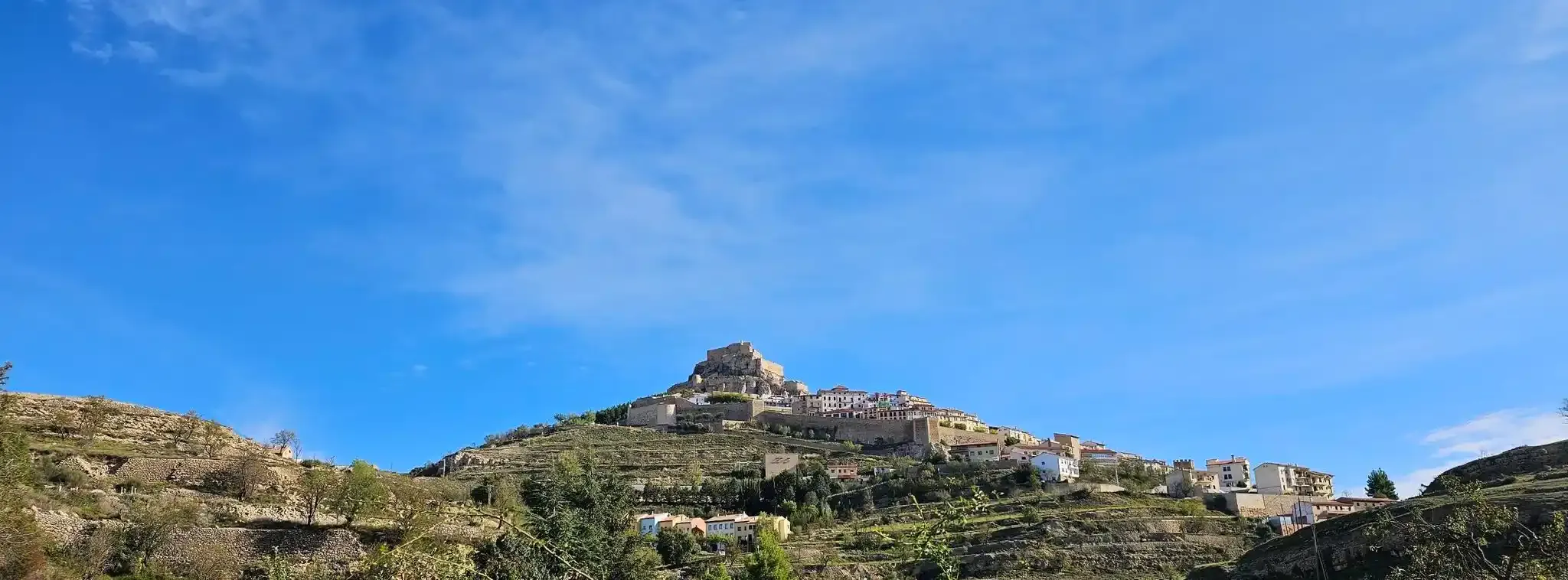
城と城壁の間 - リング・オブ・モレラ
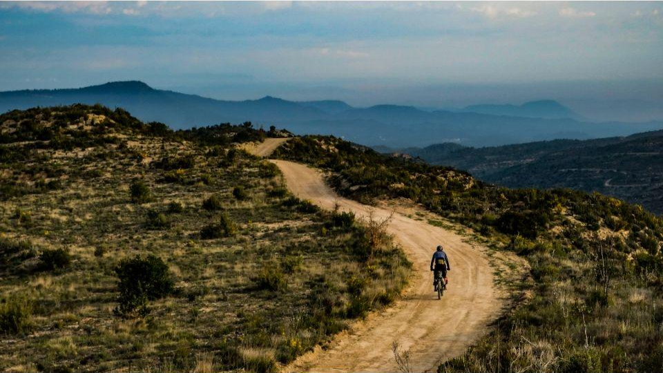
エオブェルド Divide Trail マーブルドナウブリウンド - ネード
エル・カミノ・デル・シド - グラベルバイクでバレンシア征服
El Camino del Cid - バルドアランドアルックリール MTB
マエストラズゴのMTBトレイル
マエストラズゴでのハイキング
マエストラズゴのロードバイクルート


コミュニティからのヒント

新鮮な空気を吸いながら散歩するのに理想的な場所で、壮大な景色が楽しめます。気に入れば川で泳ぐこともできます。
1
0

Geological natural monument: The rock ridges, exposed by weathering and erosion, were deposited horizontally in a shallow sea millions of years ago and, through tectonic forces, not only uplifted but also tilted vertically. An impressive example of the effects of the enormous forces of plate tectonics!
1
0

The Hoz del Río Mijares in San Agustín (Teruel) is a stunning natural setting located in the Gúdar-Javalambre region, ideal for lovers of hiking, geology, and spectacular landscapes.
2
0
The Peña Ojerada in Alcalá de la Selva is a popular destination for hiking enthusiasts. One of the most recommended routes is the Circular Route of the Viewpoints, which includes the Peña Ojerada and Monte Pinar.
7
0

Mountain goats can also be seen quite frequently
1
0

The geodesic vertex called Peñarroya points 2028.228 m with respect to the base of the observation pillar, but it sits on two bodies of stone masonry. Altitude of the bodies of the order of 10 or 11 meters in total. LIDAR data confirm a ground level elevation of 2017 m. Peñarroya is a chromotoponym that refers to the color of the rocks that make up the mountain. The spelling in the Spanish language is Peñarroya and in the Aragonese language Penyarroya or Peñarroya depending on the spelling chosen for the palatal nasal. The origin of the toponym is quite clear. It combines the common noun peña, from the Latin PĭNNAM, 'battlement', with the adjective RŭBEŭS, -A, -UM 'blond'. The toponym reflects the reddish hue of the terrain. The spelling Penya (in addition to others such as Penna or Peña) is included in many medieval texts in Aragon. For example, in 1448 to designate the summit of the mountain range (of Peña) that rises above Sos del Rey Católico on the border, then, with the kingdom of Navarra.
1
0

There is a hiking route called “Las Hoces del Mijares” that you can explore. It is approximately 10.24 km long and offers stunning views.
9
0
マエストラズゴでのの人気観光スポット

komootモバイルアプリでインスピレーションを得よう


探していたものは見つかりませんでしたか?
地域ごとのトップハイライトをチェックして、さらに素晴らしい自然のモニュメントを見つけましょうマエストラズゴでの:
さらに探索
これらのガイドで、最高の洞窟を探す範囲を広げましょうマエストラズゴでの:
