パス・イグナの峠・トップ8
風景を楽しんだり、上りや下りを満喫したり、峠には楽しみ方がたくさんあります。パス・イグナの素晴らしい峠の一覧を参照して、思い出に残るアドベンチャーに出かけましょう。コミュニティのメンバーがコミュニティのために投稿した峠のハイライトは、他のユーザーが実際におすすめする情報なので、どれも信頼できるものです。気に入った峠にさっそく向かってみましょう。
最終更新日: 8月 30, 2026
エスタカス・デ・トゥレバ峠
ハイライト • 山道
翻訳者 Google •
役立つ情報 は

アルト・デ・ラ・マタネラ
ハイライト • 山道
翻訳者 Google •
役立つ情報 は

今すぐサインアップして、こんな場所を発見しよう
最高のシングルトラック、ピーク、その他のエキサイティングなアウトドアスポットのおすすめを受け取ろう。
無料新規登録
Alto del Caracol
ハイライト • 山道
翻訳者 Google •
役立つ情報 は

ラ・ブラギア港
ハイライト • 山道
翻訳者 Google •
役立つ情報 は
コジャーダ・デ・ブレネス
ハイライト • 山道
翻訳者 Google •
役立つ情報 は

サン・ロケ・デ・リオミエラからのポルティージョ・デ・ルナダ峠への登り
ハイライト (セグメント) • 山道
Spectacular scenery, little traffic, and a fairly easy gradient distribution.
翻訳者 Google •
役立つ情報 は

アルト・デ・ラ・エストラングアダ
ハイライト • 山道
翻訳者 Google •
役立つ情報 は

Puerto de La Magdalena
ハイライト • 山道
翻訳者 Google •
役立つ情報 は





コミュニティからのヒント

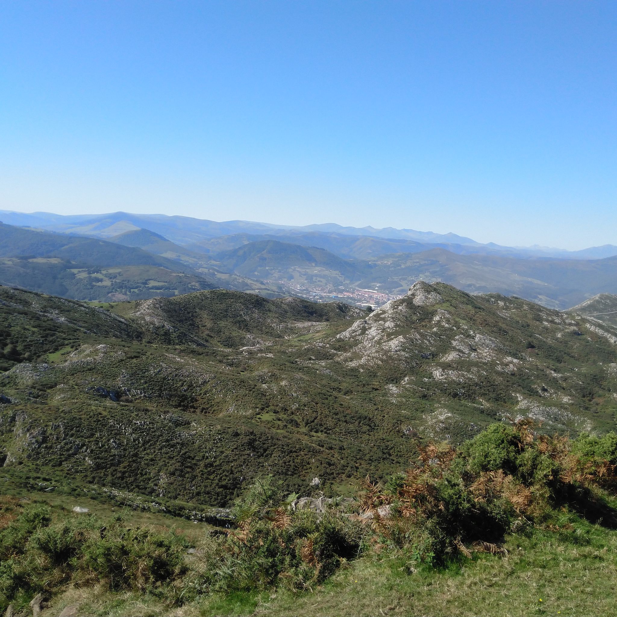
The Magdalena Pass is an excellent option for crossing from the Ebro Valley to the Pas Valley, avoiding the heavy traffic of the Escudo Pass. From its summit, there are magnificent views of the Escudo mountain range and the Ebro Reservoir. The Magdalena Pass can also be accessed from the Escudo Pass, but the route includes a technical section and some stretches of dense vegetation.
0
0

The Puerto de La Braguía is a climb that connects the Pas Valley with the Toranzo Valley. It features a steady gradient through a green, mountainous environment. A popular feature of the Vuelta a España.
2
0

Climb with spectacular views
0
0

La Matanela Pass, 1,005 m. Border between Burgos and Cantabria, Meseta and Pas. From Burgos, it's known as La Magdalena. I copied the altimetry from altimetrias.net, which can be trusted.
0
0

This is one of the most beautiful climbs in the region. It's 17.5 kilometers long, accumulating almost a thousand meters of elevation gain at an average of 5.7%. Spectacular scenery, little traffic, and a fairly easy gradient distribution.
0
0

The Collada de Brenes is a mountain pass belonging to the Cantabrian mountain range and located in Cantabria. It links the municipality of Cieza to the north with that of Arenas de Iguña to the south.
0
0

A demanding but VERY beautiful route. The Estacas de Trueba pass is absolutely spectacular!
0
0

The height of La Estranguada is located at 687 m. above sea level and is located in a livestock area within the Pasiegos valleys. Quite a few cyclists usually climb it but it must be a high complex due to its important ramps and in our case an interesting starting point if we want to go to Los Pozos de Noja without walking many kilometers and withstanding a lot of unevenness, from here we head to Idillo and then to Los Pozos by a beautiful path or we can continue the track and shorten the path much more. What they do promise are some great views
1
0
パス・イグナでのの人気観光スポット

komootモバイルアプリでインスピレーションを得よう


探していたものは見つかりませんでしたか?
地域ごとに整理されたさらに素晴らしい山道を見つけましょうパス・イグナでの:
さらに探索
これらのガイドでさらに壮大な山道を見てみましょうパス・イグナでの:
